-
Posts
2,045 -
Joined
-
Last visited
Content Type
Profiles
Blogs
Forums
American Weather
Media Demo
Store
Gallery
Posts posted by jaydreb
-
-
-
4 minutes ago, WxUSAF said:
Aside from great GFS, FV3, GGEM, and GEFS runs with improvements on the Euro and EPS, I totally agree with you.
Lol, messing around. If the worst current model run is 1-2” of cold snow from the Euro I would take that in a heartbeat.
-
14 minutes ago, cae said:
The Canadian ensemble doesn't look great either. Only 5 / 21 members give me an inch of snow, and it looks like the low is suppressed on the mean. The control is the best member for the region.
We start a thread and wheels come off.
-
 1
1
-
-
-
Lol, I guess it looks good. So it spent 11 days in 5 and then raced through 7 in two days?
-
Less than a week ago we were cancelling winter and 24 hours ago next weekend looked like a long shot. Now we have most major models (except CMC) showing accumulating snow in the area in less than 7 days and then a great pattern to follow. At least things aren’t boring anymore and we’re no longer discussing MJO.
-
1 minute ago, MD Snow said:
GEFS comes in weaker and less precip for next weekends storm.
We toss.
-
1 minute ago, Bob Chill said:
Fringes @psuhoffman so that index is in our favor too. Is there any doubt the desthband would set up across the northern tier?
Weekend rule checks out as well.
-
2 minutes ago, C.A.P.E. said:
Yup pretty much perfect. Except it crushes Southern/Central VA. Plenty of time for minor tweaks.
These things always trend north.

-
 1
1
-
 1
1
-
-
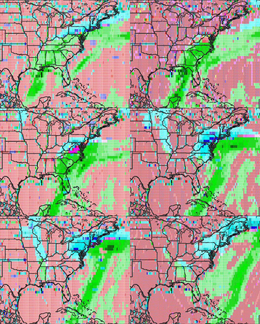
Well that’s the Euro, Icon and GFS giving us measurable snow in <7 days. I think we are in tracking mode boys and girls!
-
 1
1
-
-
Lol, it snows for 2 days!
-
 1
1
-
-
GFS is a beaut. Please be right!
-
 1
1
-
-
9 minutes ago, Bob Chill said:
If nothing else, the gfs is noticeably less suppressive at h5 d4-5. Not a bad thing considering its been the most suppressed model last couple days
Surface looks more like the EURO. Snows are further north into KY at 138 and reaching near DC at 144.
-
-
4 minutes ago, nj2va said:
Looks like the heaviest precip stays over the Eastern Shore. Gets kicked east but nice improvement at the 500 level. SV snowmaps has 1-2” for DC...2-4” just east of DC. 4”+ on the eastern shore. 1” line at IAD..sorry Ji.
Baby steps. Euro now shows frozen into our area in <7 days. GEFS and Icon support.
-
 2
2
-
-
2 minutes ago, showmethesnow said:
Better look at 500's for the 13th storm.
eta: should see this come north somewhat.
Yeah, it's definitely north. Snow into WVa at 150. Into DC at 156.
-
Snow into Eastern TN/Western NC at 144 on Euro.
-
 1
1
-
-
11 minutes ago, Bob Chill said:
A good recent example is the euro dropping the lakes shortwave interference idea. Just a few runs ago it was a big problem. Now that problem mysteriously vanished. But it could easily pop right back up or things line up better and models show a phased big hit. Problem is you cant trust the northern stream until you get inside of d4-5. Since we still have 8+ days lead time, dont fall for any traps yet. Every run will show a different evolution
Thanks for the explanation Bob. GEFS also shows a signal around 1/20.
-
1 minute ago, Bob Chill said:
Ops wont have the northern stream figured out until Wed at the earliest and that's a stretch. Trends with the southern wave can be watched from longer leads. Like right now for instance. Lol
Why is that? Why are NS waves more difficult to model than SS waves?
-
3 minutes ago, Ji said:
Eps snowfall map though 360 is a disaster
Didn’t you get the memo that we’re punting through 1/20?
-
-
If someone offered me 50% of whatever Boston ends up with this winter I think I would take that deal. That’s just me though.
-
6 minutes ago, poolz1 said:
Was thinking the same thing earlier...nj2va and Ralph alluded to the same. I could envision striking out on the front side with the snap then a relax and by the first of Feb we have plenty of cold roaming around the Mid lats and a relaxing pattern.
If we don’t get something before the beginning of February this place is going to get real ugly.
-


January 12-14, 2019 Storm Threat
in Mid Atlantic
Posted
Yeah. Pretty good bump up for them. At least GEFS supports a juiced up system instead of a Euro solution.