

JakkelWx
-
Posts
3,591 -
Joined
-
Last visited
Content Type
Profiles
Blogs
Forums
American Weather
Media Demo
Store
Gallery
Everything posted by JakkelWx
-
huge dendrites
-
georgetown Delaware according to IEMbot PHI
-
Georgetown with 12 inches of rain as of 3:42 PM.
-
yeah it just lightened up to light snow now, but it was heavy for a good 15 minutes. probably gets heavier again very shortly. the band is starting to sag southward slightly, so it may be over soon. but if i also get some more backside snows from the H5 pass, could end up with 9-10 inches total from this storm.
-
3:21 PM 3 SW Magnolia DE 7.4 in. 2:00 PM Felton DE 8.5 in.
-
coming down hard in magnolia. loving this band so far.
-
snow band is heading straight this way.
-
9.5 1 W Georgetown DE 12:10 PM. stole my snow once again. hope it never snows there again
-
about 15 mins ago.
-
maybe a little on the northern edge for my liking here. precip is drying up in middletown and the angle of the precip suggests more southern DE could be in play. But then again, i've been awake since 5 AM yesterday.
-
visibility lowest its been here
-
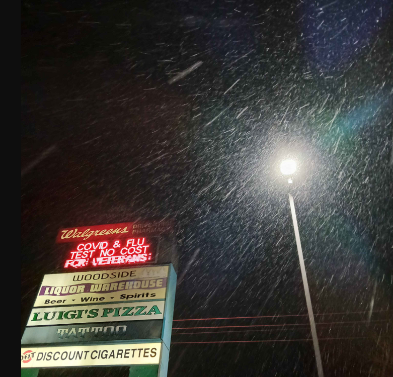
man its coming down at woodside. jeb drive, my own variation lol.
-
Snow flurries now!
-
woodside DE station dewpoint shot up to 16! and the radar shows it snowing there. sooo close here in magnolia
-
it should start snowing here about an hour after midnight.
-
CMC made a HUGE jump. positive one
-
LWX tilt 2 filling in quicker!
-
that band near fredericksburg or just N of there is getting close to 30 DBZ
-
Through 9 AM morning. woof
-
DP has risen from 7 to almost 10 here.
-
I intentionally prepared a quick pot roast late so it can be ready by snow onset. probably staying up all night like some are.
-
temp down to 30/6.
-
snowing now at 141.3 NB I-81
-
may just be hopecasting but I can see the 500 mbar confluence slowly lifting N and becoming slightly more oriented WNW - ESE instead of NW - SE.
-
starting to snow at I-81 119.5 via 511 falling branch VA


