-
Posts
5,560 -
Joined
-
Last visited
Content Type
Profiles
Blogs
Forums
American Weather
Media Demo
Store
Gallery
Everything posted by Holston_River_Rambler
-

TN valley heavy rain/flooding week of whenever
Holston_River_Rambler replied to janetjanet998's topic in Tennessee Valley
Flash Flood Statement National Weather Service Nashville TN 603 AM CST Sat Feb 23 2019 TNC055-099-181-231300- /O.CON.KOHX.FF.W.0017.000000T0000Z-190223T1300Z/ /00000.0.ER.000000T0000Z.000000T0000Z.000000T0000Z.OO/ Wayne TN-Lawrence TN-Giles TN- 603 AM CST Sat Feb 23 2019 ...THE FLASH FLOOD WARNING REMAINS IN EFFECT UNTIL 700 AM CST FOR WAYNE...LAWRENCE AND GILES COUNTIES... At 601 AM CST, local law enforcement reported a water rescue of a family from a home in the Prospect community of southern Giles County. Radar indicates moderate to heavy rain continues across the warned area this morning, with additional showers and thunderstorms extending well off to the southwest through northwest Alabama and northern Mississippi. Flash flooding is expected to continue for several more hours. Some locations that will experience flooding include... Lawrenceburg, Pulaski, Waynesboro, Loretto, Collinwood, Summertown, Clifton, Ardmore, St. Joseph, Elkton, Minor Hill, Ethridge, Lynnville, Henryville, Cypress Inn, Flatwoods, Lutts, Goodspring, Leoma and Westpoint. This includes Interstate 65 between mile markers 1 and 22. -

TN valley heavy rain/flooding week of whenever
Holston_River_Rambler replied to janetjanet998's topic in Tennessee Valley
Ah firehose, how I've missed you. Looks like the NAM muffed this one yesterday for E TN. The RGEM did a little better and sadly as of the 6z run keeps the rain going all day long (small break around 3 -5 PM maybe) until the cold front and storms finally pass. -

TN valley heavy rain/flooding week of whenever
Holston_River_Rambler replied to janetjanet998's topic in Tennessee Valley
For posterity, just an amazing number of watches/ warnings for individual rivers in E. TN: -

TN valley heavy rain/flooding week of whenever
Holston_River_Rambler replied to janetjanet998's topic in Tennessee Valley
Yeah, first thing I did when I saw that radar was look at the HRRR and thought, "seriously?" NAM has some areas getting to an inch by 10 tonight and even that looks low compared to the actual radar. -

TN valley heavy rain/flooding week of whenever
Holston_River_Rambler replied to janetjanet998's topic in Tennessee Valley
Looking at radar, it looks like some areas may have absolutely no trouble hitting an inch in 3 hours this evening. -

TN valley heavy rain/flooding week of whenever
Holston_River_Rambler replied to janetjanet998's topic in Tennessee Valley
Looks like Cumberland Falls flow has increased dramatically since I was there last week. Much higher and there won't be a waterfall anymore. If you've never been there it's hard to express how high the water would hav to be. -

TN valley heavy rain/flooding week of whenever
Holston_River_Rambler replied to janetjanet998's topic in Tennessee Valley
Highway 70 mudslide in Hawkins county. Been a long time since I've heard of a mudslide in our area closing a highway. A wreck associated with it: https://www.wvlt.tv/content/news/Mudslide-shuts-down-High-70-in-Hawkins-County-506145721.html -

TN valley heavy rain/flooding week of whenever
Holston_River_Rambler replied to janetjanet998's topic in Tennessee Valley
I'm not saying it looks great in any way, but having 5 - 6" inches fall over half the watershed instead of all the watershed has to be better in some small way. Getting emails from the Euro people so I'm being a little more descriptive with their non-free maps for a bit. -

TN valley heavy rain/flooding week of whenever
Holston_River_Rambler replied to janetjanet998's topic in Tennessee Valley
and of course as soon as I write this, more convective showers start to develop. -

TN valley heavy rain/flooding week of whenever
Holston_River_Rambler replied to janetjanet998's topic in Tennessee Valley
Whoever that is should face prosecution if it was malicious. -

TN valley heavy rain/flooding week of whenever
Holston_River_Rambler replied to janetjanet998's topic in Tennessee Valley
I'm all for any dry air we can get at this point. Every little bit will help. For my neck of the woods, very happy the intense rain seems to have evaporated on radar as it pushed off the plateau this afternoon. Even though that may not help areas downstream now, hopefully it helps some in the long run. -

TN valley heavy rain/flooding week of whenever
Holston_River_Rambler replied to janetjanet998's topic in Tennessee Valley
Yeah, Beaver Creek seems like it is almost in a perpetual mini flood, even when it is relatively dry. Still, it's something to see it lapping up against the high voltage towers as you drive down Emory toward Clinton highway. -

TN valley heavy rain/flooding week of whenever
Holston_River_Rambler replied to janetjanet998's topic in Tennessee Valley
Thankfully Euro shows only one more (admittedly long-lived) system to endure after this one before we get a break. Unfortunately it also shows a general 5-6" with a dollop of 8" inches over central/ western TN and central KY in an axis running from around N. MS to Jackson KY. -

TN valley heavy rain/flooding week of whenever
Holston_River_Rambler replied to janetjanet998's topic in Tennessee Valley
No sleet for me in Knoxville, but huge, fat rain drops with the leading edge. Some culvert near a local market already gushing water after maybe 20 minutes of this. Hoping for a clap or two of thunder tonight. -

TN valley heavy rain/flooding week of whenever
Holston_River_Rambler replied to janetjanet998's topic in Tennessee Valley
Euro a little more optimistic for East TN this morning with a widespread 3 - 4" over the next 10 days. 5 - 7" (isolated 8) for areas west of the Cumberland plateau, so still not so good for the overall watershed. Fortunately 10"+ amounts no longer showing up, but I guess some of that from several days ago has already fallen. -

TN valley heavy rain/flooding week of whenever
Holston_River_Rambler replied to janetjanet998's topic in Tennessee Valley
I feel like the RGEM did pretty well with the last slug of moisture and it looks quite a bit more widespread that the NAM this AM. Interestingly though, if it is right with the precip maximum, that would be a better place for it since there is a mini divide there. All water does go to the Gulf, but there it flows straight in from AL, instead of going through the TN to the Mississippi. -

TN valley heavy rain/flooding week of whenever
Holston_River_Rambler replied to janetjanet998's topic in Tennessee Valley
Their graphic is still pretty aggressive though. I guess they are still factoring in later storms, but lowering the totals for the upcoming one. -
Some additional thoughts about AAM from Isotherm (this isn't really a description, but the way he is using the features at least is helping me to try to understand it better): "I'd say it's fairly incontrovertible that the Pacific structure will be ameliorating, finally, as a function of the ewd propagation tropical convection and realignment of W/C forcing in more canonical orientation. Phase 8/1 entrance in a few days + 7-8 day lag, should elicit vicissitudes in the PNA domain by the end of February. The more intriguing and challenging inquiry for me, is can we get the NAO to play ball, at all? We have discussed this heretofore, and it's something @Snowy Hibbo noted I believe; namely, that much of the positive angular momentum has been concentrated in the southern hemisphere. Further, I noted that the equator-pole distribution of the angular momentum has been "wrong" and antithetical to the genesis of sub-tropical troughs, which accelerate jet flow and tend to initiate decelerating polar jets immediately to the north. Those conditions remain unpropitious through the next 7-10 days; however, if the CFS is correct, there may be a window within which a legitimate NAO *could* develop and actually retrograde a bit toward Greenland. This window of opportunity is approximately March 1/2-March 10th +/- a couple days. Besides the phase 1 lagged effects, forecasted equator-pole zonal winds are suggestive of an alteration from this winter's base state in the March 1-10th period by the CFS. Now, we continue to have persistence and descending wly QBO modulation countervailing, but if other variables rearrange, that shouldn't totally obviate the chance for at least a transient blocking feature. We'll have to monitor it, but I like what I see on the CFS zonal wind proggs in the first 10 days of March. Momentum diminutions in the SHEM, and reorientation of +AAM in more conducive places. We'll see. But, the Pacific alone will make things colder for the first half of March. The question is, are we talking about a decent pattern (which would be much better than what we've had = ghastly, hideous, and diabolically impudent), or, could it be "better" than decent? That's contingent upon whether we can induce a transient blocking period. As said, there's a chance. But it also may not happen. Right, James. The tropical forcing and extratropical progression, i.e., MJO, GWO, etc., would certainly augment the argument for a retrogressive HLB feature. But the -AAM in the sub-tropics needs to decrease to permit it."
-

TN valley heavy rain/flooding week of whenever
Holston_River_Rambler replied to janetjanet998's topic in Tennessee Valley
Already a rockslide between Walland and Townsend has 321 shut down, both directions. -

TN valley heavy rain/flooding week of whenever
Holston_River_Rambler replied to janetjanet998's topic in Tennessee Valley
Definitely did so yesterday. When I can back from my hike and looked at the radar, I thought hmmm, that was a little more robust than modeled. -

TN valley heavy rain/flooding week of whenever
Holston_River_Rambler replied to janetjanet998's topic in Tennessee Valley
Sounds like some good news! -

TN valley heavy rain/flooding week of whenever
Holston_River_Rambler replied to janetjanet998's topic in Tennessee Valley
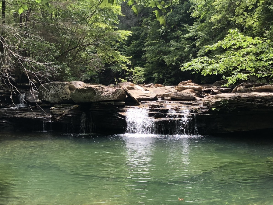
Not the obs thread, but seemed like it might fit better here. Took a group on a hike up to White Rocks near Ewing, VA. This would be the headwaters of the Powell. Water is already spewing out the side of the mountain, literally. Springs on the hillside are shooting water out. Creeks I've never seen as more than a trickle or completely dry are filling very old creek beds. The valley bottom already had creeks running out of their banks, without the additional water from the mountainside having made it there yet. All this after only round one. Creek I've never seen with any water: Waterfall at Sand Cave; Dry spring turned creek: https://imgur.com/a/DXbm4PA


