-
Posts
6,206 -
Joined
-
Last visited
About Holston_River_Rambler

Profile Information
-
Location:
Morgan County
Recent Profile Visitors
-

Spring 2026 Pattern Discussion Thread
Holston_River_Rambler replied to Carvers Gap's topic in Tennessee Valley
I'm under that band in RoCo right now- 160 replies
-
- 3
-

-
- severe
- mountain snow
-
(and 1 more)
Tagged with:
-

Spring 2026 Pattern Discussion Thread
Holston_River_Rambler replied to Carvers Gap's topic in Tennessee Valley
12z HRRR just had a conniption over the Smokies- 160 replies
-
- 4
-

-
- severe
- mountain snow
-
(and 1 more)
Tagged with:
-

Spring 2026 Pattern Discussion Thread
Holston_River_Rambler replied to Carvers Gap's topic in Tennessee Valley
Pretty enthused that this afternoons potential precip shield is looking is looking less potential and more actual this AM: There was even a severe t-storm warning associated with it earlier. Now we see if the cold air can make it.- 160 replies
-
- 6
-

-

-
- severe
- mountain snow
-
(and 1 more)
Tagged with:
-

Spring 2026 Pattern Discussion Thread
Holston_River_Rambler replied to Carvers Gap's topic in Tennessee Valley
Just woke up to see some of the hi-res were showing and I will take. Looks like the Nam is showing a 300mb jet acceleration that enhances lift behind the front: Precip. pops over central Alabama and Mississippi and ride up into eastern TN. I think there's probably more dynamically going on that that too, but I'm just excited to see what happens. Maybe we can get some tasty lapse rates with that March sun as the cold pools rolls through tomorrow PM? We'll see if we can get some good rates, but it has been pretty warm so I'd hedge against road problems in areas with lots of traffic especially. Also, just now logging back in, so I wanted to add sorry for your loss Daniel- 160 replies
-
- 2
-

-
- severe
- mountain snow
-
(and 1 more)
Tagged with:
-

Spring 2026 Pattern Discussion Thread
Holston_River_Rambler replied to Carvers Gap's topic in Tennessee Valley
Kind of surprised the precip shield isn't further west with this satellite:- 160 replies
-
- 2
-

-

-
- severe
- mountain snow
-
(and 1 more)
Tagged with:
-

Spring 2026 Pattern Discussion Thread
Holston_River_Rambler replied to Carvers Gap's topic in Tennessee Valley
Wondering if my 60 day trough would swing back by this month. November 11, 2025: January 11, 2026 March 16, 2026 (ok, so a little over 60 days):- 160 replies
-
- 4
-

-

-

-
- severe
- mountain snow
-
(and 1 more)
Tagged with:
-
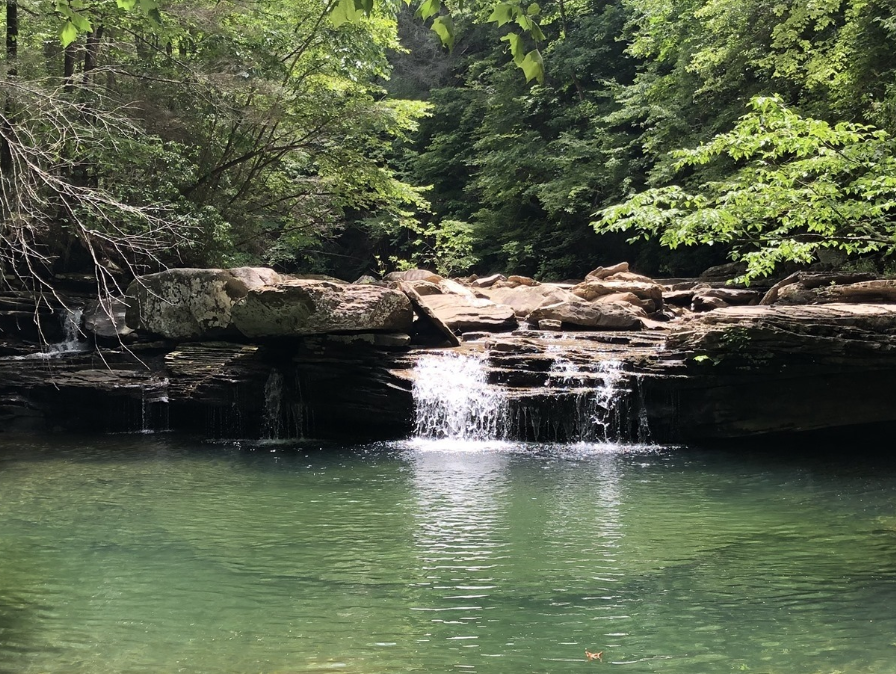
Hope everyone is doing well. Finally getting caught up on no weather things after Jan and early Feb. Thought I'd start and spring/ summer general obs. thread with some recent pictures as I await the line of storms this PM. Drought seems to be slowing easing, at least in some areas. Piney Falls in Rhea County, TN on Feb 20. Diurnal and differential heating aided thunderstorm tops building over the Smokies on *.....checks calendar....* March 6: Waterfall at Sand Cave in Cumberland Gap on March 10: Heading to Boone tomorrow, so I guess we'll see if I can get some Watauga headwaters snow pics.
-

Winter 25/26 General Obs
Holston_River_Rambler replied to Holston_River_Rambler's topic in Tennessee Valley
Winds are cranking up here on the plateau. Cold air rushing in. -

Winter 25/26 General Obs
Holston_River_Rambler replied to Holston_River_Rambler's topic in Tennessee Valley
Interesting features to the lee of Black Mt. KY and High Knob, VA earlier this AM: -
I should also at least own up to the fact that the strat kind of flopped: It tried and failed. Also, I don't really understand how all the east Asia correlation stuff works, but shouldn't this be a good look for us by around March 10- 15?
-
If only we could get this with some cold: But at least they are running the Barkely ultra marathon at Frozen Head in it!
-
@John1122
-
Pretty wild weather swings from Kingsport to Morgan county: This: and this (Eastman bubble): To this, and 55 degrees:
-
Looks like it has finally made it to the valley floor. Going to try and bring it back to Morgan county lol
-
Something I have truly missed about living in Kingsport, and I'm not being sarcastic, is being able to see it absolutely ripping snow up on Bays Mt, with Rain/ snow mix just around 1000' feet lower. Don't know if this one will work or not, but I can actually see the snow above my head, but most of it is melting before it hits my elevation ~1300 feet Probably looks like static to most in this lo res gif, but if you have good eyes you may be able to see. A few flakes bade it down, but a wall of snow about 500' up


