Shocker0
-
Posts
607 -
Joined
-
Last visited
Content Type
Profiles
Blogs
Forums
American Weather
Media Demo
Store
Gallery
Everything posted by Shocker0
-
East TN, SWVA, E KY, and Plateau NW flow obs. Feb 1 - 2
Shocker0 replied to Holston_River_Rambler's topic in Tennessee Valley
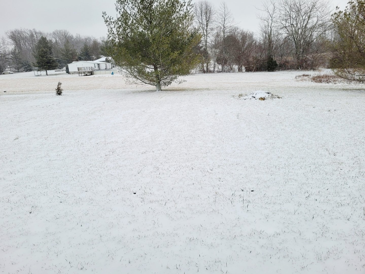
Yeah he's actually in Tunnel Hill just a few miles north of Dalton but I figured more people knew of Dalton. Definitely surprised me...they probably got more than Crossville even although ours is a much drier snow compared to what they have.- 195 replies
-
- 1
-

-
- upslope
- may the flow be with you
- (and 1 more)
-
East TN, SWVA, E KY, and Plateau NW flow obs. Feb 1 - 2
Shocker0 replied to Holston_River_Rambler's topic in Tennessee Valley
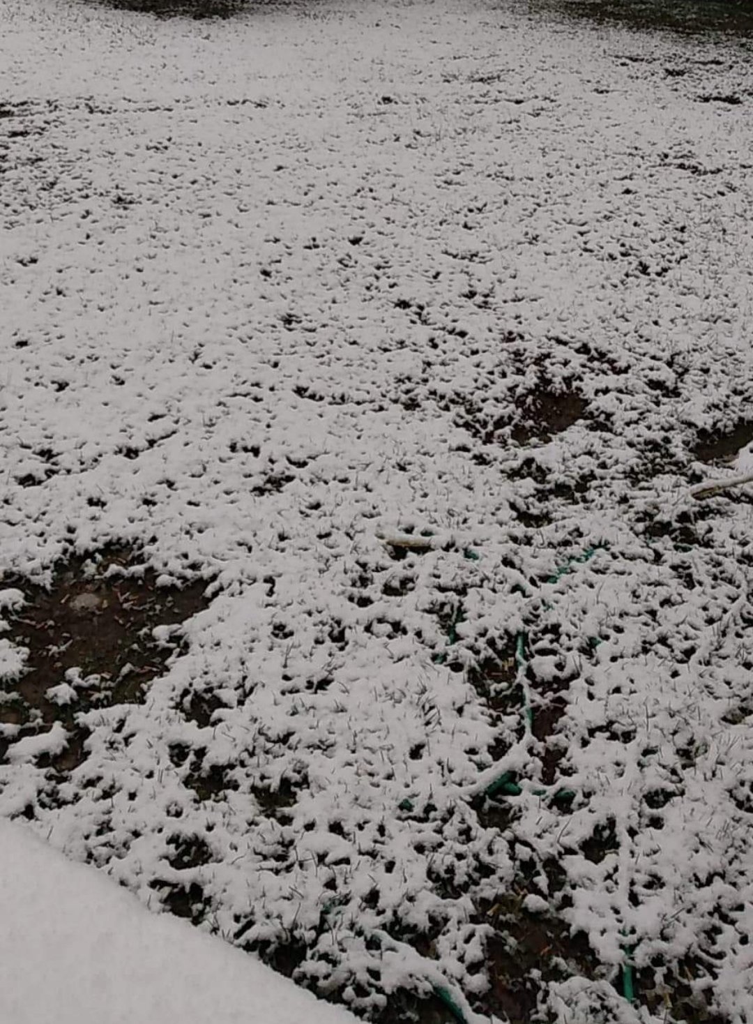
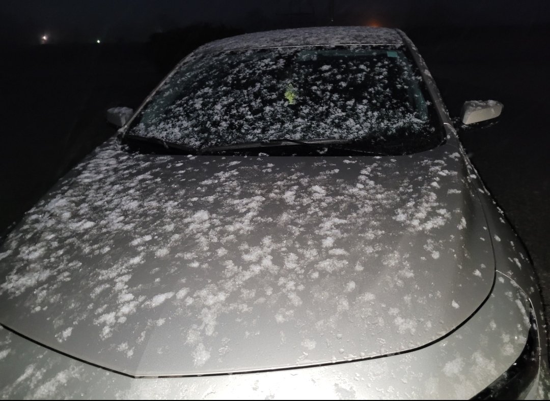
My brother in Dalton, GA sent me this :O As far as I know they weren't expecting any snow from this so any amount is surprising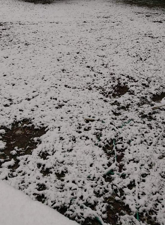
- 195 replies
-
- 6
-

-
-
- upslope
- may the flow be with you
- (and 1 more)
-
East TN, SWVA, E KY, and Plateau NW flow obs. Feb 1 - 2
Shocker0 replied to Holston_River_Rambler's topic in Tennessee Valley
26° here but not much more snow than there was last night surprisingly. The flakes are just very fine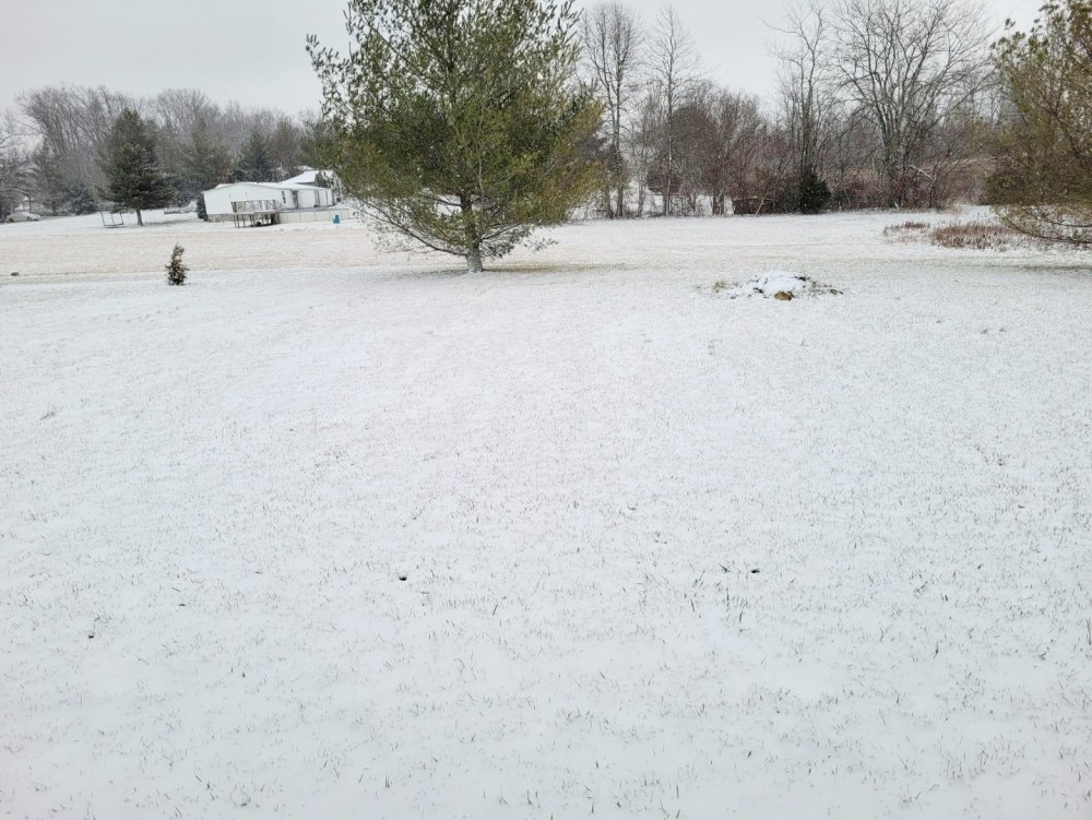
- 195 replies
-
- 4
-
-
- upslope
- may the flow be with you
- (and 1 more)
-
East TN, SWVA, E KY, and Plateau NW flow obs. Feb 1 - 2
Shocker0 replied to Holston_River_Rambler's topic in Tennessee Valley
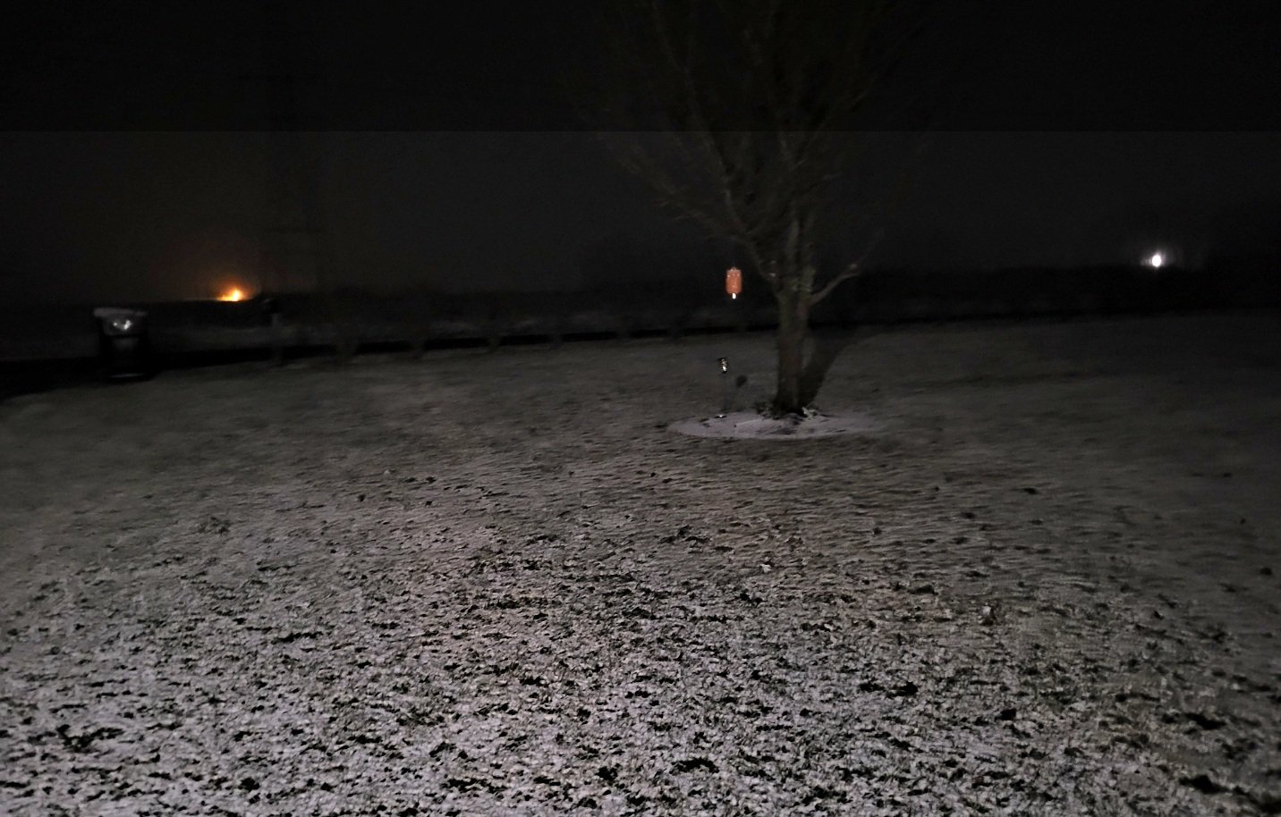
One more before bed...looks like it could be a good system since it's not picking up on radar anywhere nearby even.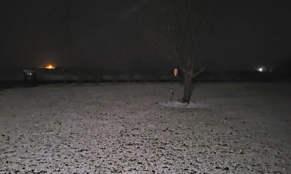
- 195 replies
-
- 4
-
-
- upslope
- may the flow be with you
- (and 1 more)
-
East TN, SWVA, E KY, and Plateau NW flow obs. Feb 1 - 2
Shocker0 replied to Holston_River_Rambler's topic in Tennessee Valley
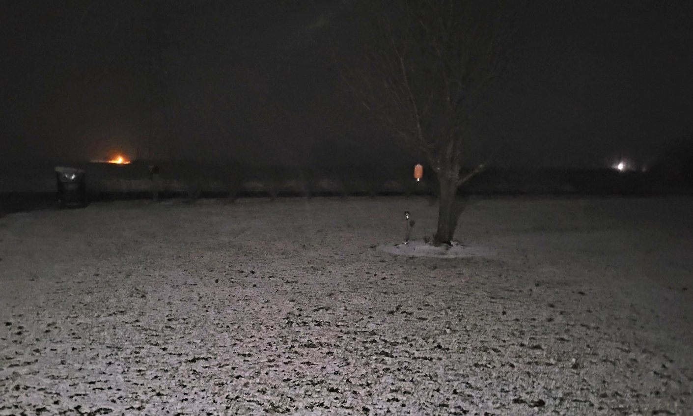
There is literally no snow within 100 miles of the radar here but...I looked outside for the heck of it before bed. Coming down steady.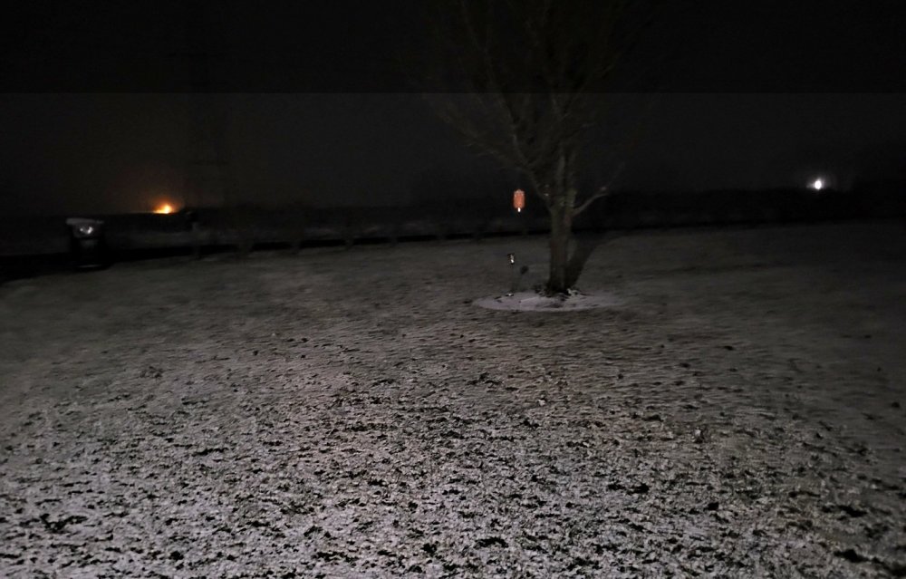
- 195 replies
-
- 2
-
-
- upslope
- may the flow be with you
- (and 1 more)
-
East TN, SWVA, E KY, and Plateau NW flow obs. Feb 1 - 2
Shocker0 replied to Holston_River_Rambler's topic in Tennessee Valley
If I had to guess they're gunshy from the bust last week when they put out a WWA -
East TN, SWVA, E KY, and Plateau NW flow obs. Feb 1 - 2
Shocker0 replied to Holston_River_Rambler's topic in Tennessee Valley
Finding it strange that NWS Nashville has only given our area (Crossville/Monterey) a "Special Weather Statement" so far and no WWA. This area does really well in these events and the models all seem to support 2+ inches so it's odd to me. TWC even shows 3-7" here by Tuesday morning. Someone will be way off one way or the other.- 195 replies
-
- 1
-
-
- upslope
- may the flow be with you
- (and 1 more)
-
Any thread for tomorrow's event? On paper it makes it look like the biggest event of the year for Crossville/Monterey area but not sure how it looks for the rest of the forum. Nashville hasn't seemed to talk any about it yet though and haven't seen much action in here either. NWS Nashville shows less than 1/2" here tomorrow night but TWC now says 1-3" tomorrow night, 1-3" Monday, and 1" Monday night. Should be interesting to see who's closer.
-
Pics/Videos/Stories from past weather systems in the region
Shocker0 replied to Shocker0's topic in Tennessee Valley
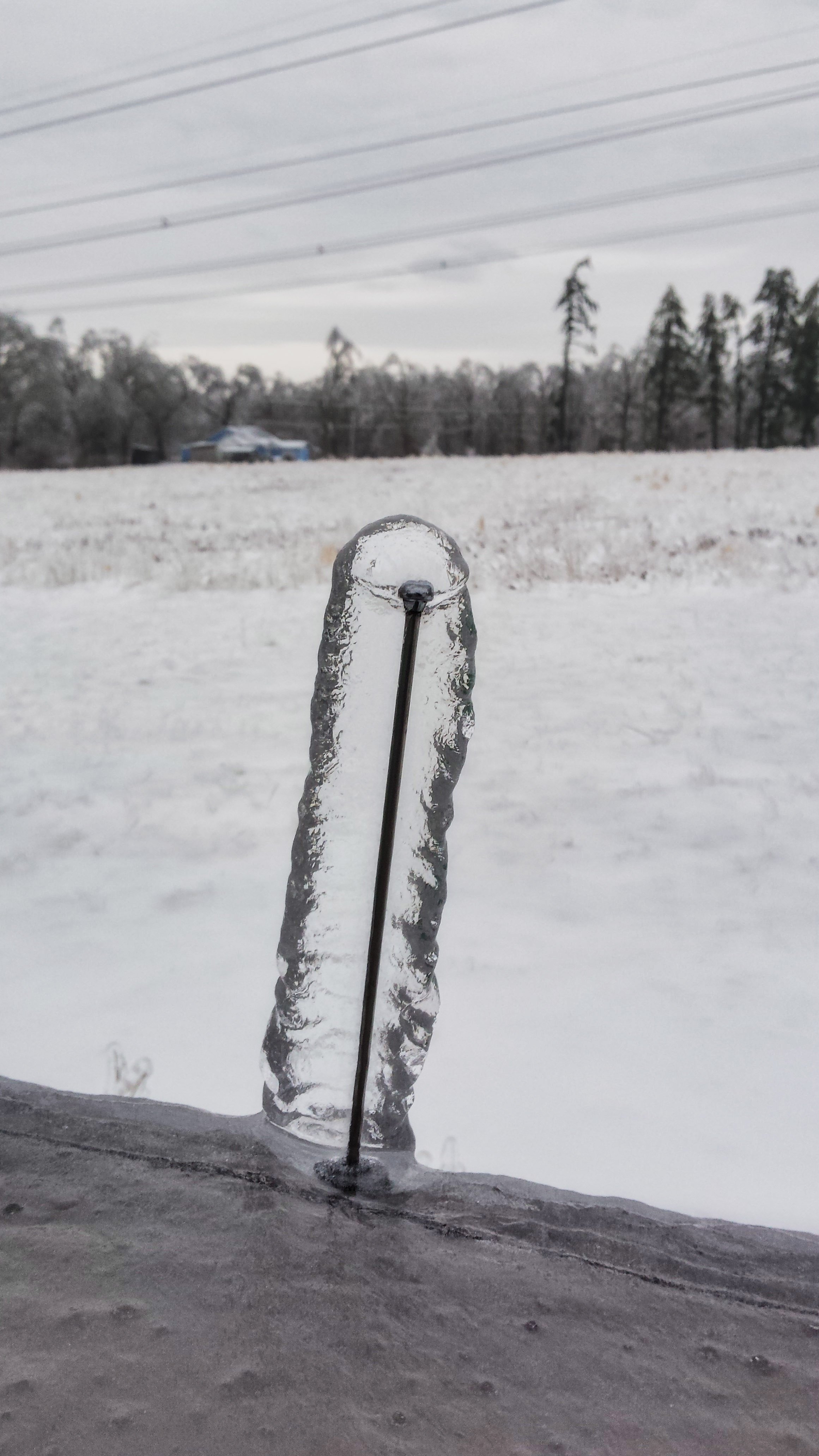
Funny picture but was weird seeing how it built up around the car antenna. This is Feb 21, 2015 as well, same day as @Daniel Boone's pic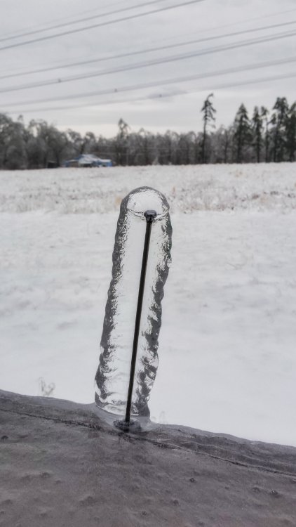
-
Pics/Videos/Stories from past weather systems in the region
Shocker0 replied to Shocker0's topic in Tennessee Valley
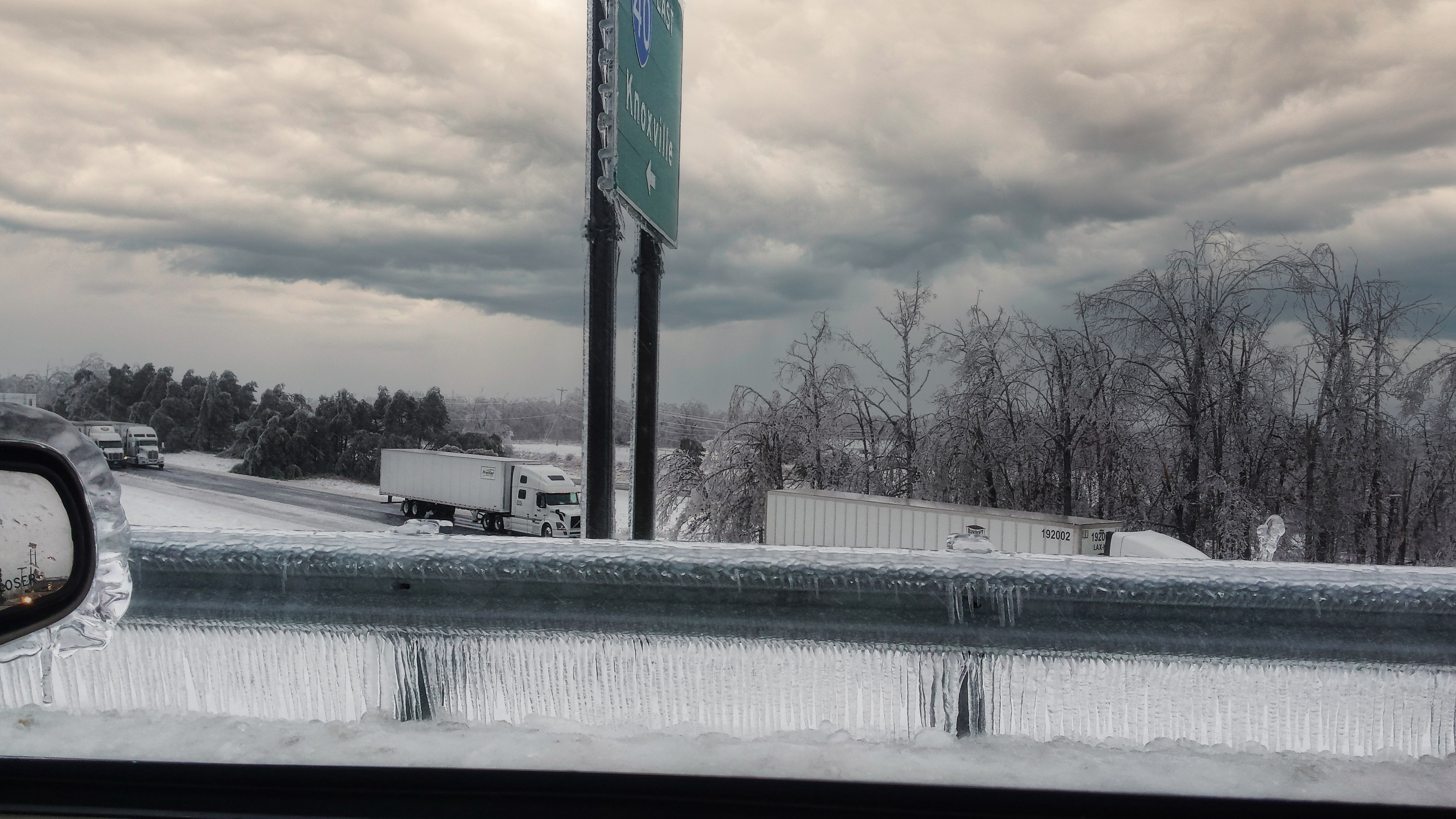
Yeah it was definitely the bullseye from Monterey to Clarkrange and down to Crossville as far as ice went. I remember the trees snapping as well, only other storm that reminded me of that was living in Southern Kentucky in 1998 when an unexpected snowstorm dumped 2+ feet of heavy wet snow on us and we had to walk to my aunts house (she had a generator) 1/4 mile away and kept hearing trees falling all around us. I have plenty of pictures from this ice storm. Here is one overlooking I-40 Exit 311. You can see how thick the ice is on the guardrail and even the car mirror. I was actually thankful my yard didn't have trees in it at the time (other than a couple strong pines and small trees).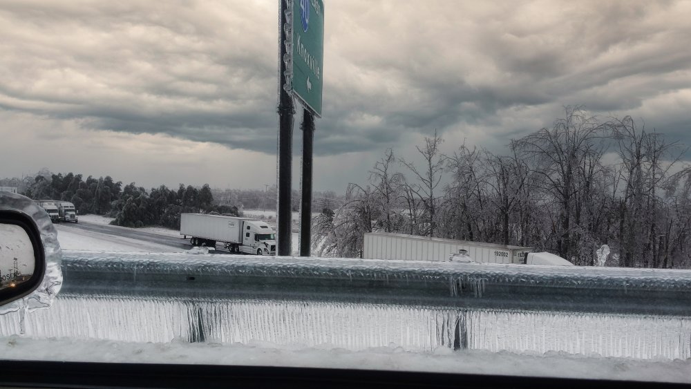
-
Pics/Videos/Stories from past weather systems in the region
Shocker0 replied to Shocker0's topic in Tennessee Valley
Nicee. That's the day my second video was taken. We basically got that much snow, but as 25 degree rain lol -
It's actually sleet here and pretty heavy
-
Sleet storm in Crossville currently 39° at my house

-
TWC now says 1-3" tomorrow night here and the same Monday. With "less than one inch" Monday night. Hopefully that verifies, they ended up being right avoht the bust in my location last week.
-
Pretty much the same here. Every snow has been around 2-4 inches consistently until the one bust the other day. Still the best winter here in 5 years or so though.
-
Pics/Videos/Stories from past weather systems in the region
Shocker0 replied to Shocker0's topic in Tennessee Valley
Late February 2015 was definitely one of the most active recent periods I can recall in the forum area for sure. We never really had an ice storm warning since I had lived in Tennessee (2004) and suddenly had two in one week. I thought the ice storm that Monday was bad but the one on Saturday ended up being the worst in history around here. -
Pics/Videos/Stories from past weather systems in the region
Shocker0 replied to Shocker0's topic in Tennessee Valley
This video is three days later driving down I-40 through Crossville. 40mph+ Wind Gusts plus 2 inches of ice made it look like a tornado hit. Surprisingly, most lower elevated areas around us got all snow from this event before it eventually switched to rain, where we mostly just got freezing rain for hours on end. -
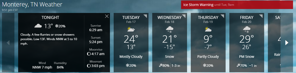
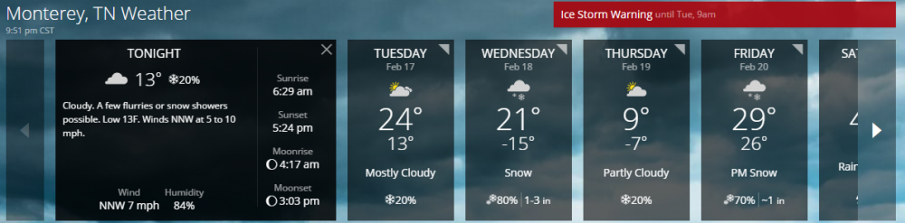
Not sure if it's allowed but I figured I would make a thread to share pics/videos/stories of past storms that have affected our location over the years. Hopefully some of you will participate. It doesn't have to be a significant storm just something that you want to share or a story from a weather event. This first video is from Wednesday February 18, 2015. We had one of the wildest weeks of weather I can ever remember that week. It started on Monday with a big ice storm, followed by snow Tuesday and Wednesday and temperatures dropping below zero. Then on Friday we had a huge warmup (to 29 degrees) and two inches worth of ice fall Friday night and Saturday morning, knocking power out for many days. So during that 5 day stretch we had two Ice Storm Warnings and multiple Winter Weather Advisories. This video was taken midweek of heavy snow at work, followed by sunshine only about an hour later. I took a pic of the weather predicted that week just because of how crazy it was (it ended up not getting nearly THAT cold on Wednesday night)
-
January 27th-28th Boom or Bust Snow Event/Obs
Shocker0 replied to John1122's topic in Tennessee Valley
And just like that I think the system is out of here lol. -
January 27th-28th Boom or Bust Snow Event/Obs
Shocker0 replied to John1122's topic in Tennessee Valley
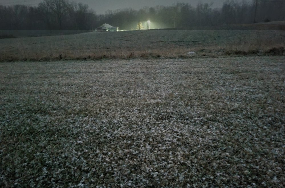
-
January 27th-28th Boom or Bust Snow Event/Obs
Shocker0 replied to John1122's topic in Tennessee Valley
Big flakes now! Quick dusting forming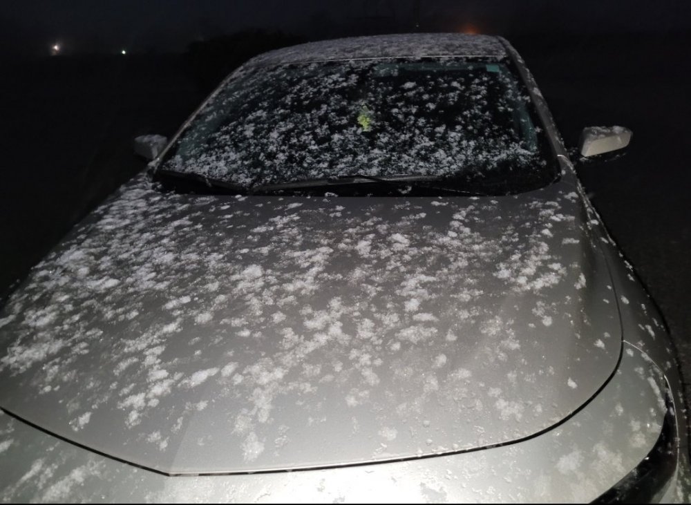
-
January 27th-28th Boom or Bust Snow Event/Obs
Shocker0 replied to John1122's topic in Tennessee Valley
Actually it has changed to snow now, but there's nothing on radar behind it -
January 27th-28th Boom or Bust Snow Event/Obs
Shocker0 replied to John1122's topic in Tennessee Valley
35 in Crossville. Light rain, everything seems to be going north of here though so we probably won't get much if any. -
January 2021 Medium/Longterm Pattern Discussion.
Shocker0 replied to AMZ8990's topic in Tennessee Valley
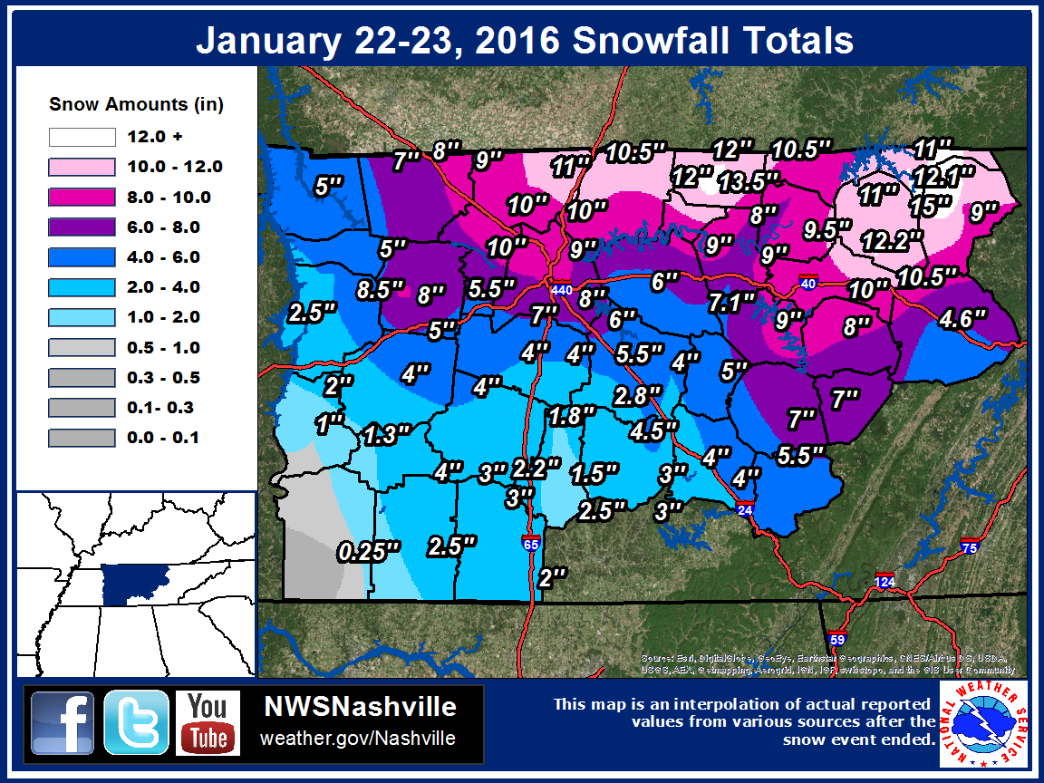
Thanks for sharing! The image there is very accurate. I remember (living in the NW part of Cumberland County where it shows 10-10.5" on the map) getting sent home from work early due to the snow. My car already had about four inches of snow on it. I drove 8 miles Southeast into town to grab some food and chill at home. When I got to town there was no snow and it was still raining there and the drive thru woman asked where the heck I lived that there was that much snow already and I told her just a few miles up the road. Once it had quit snowing they were about six inches behind where we were just up the road due to the snow starting way sooner here with us being about 200ft higher elevation. It was one of the sharpest snow cutoffs I can remember here.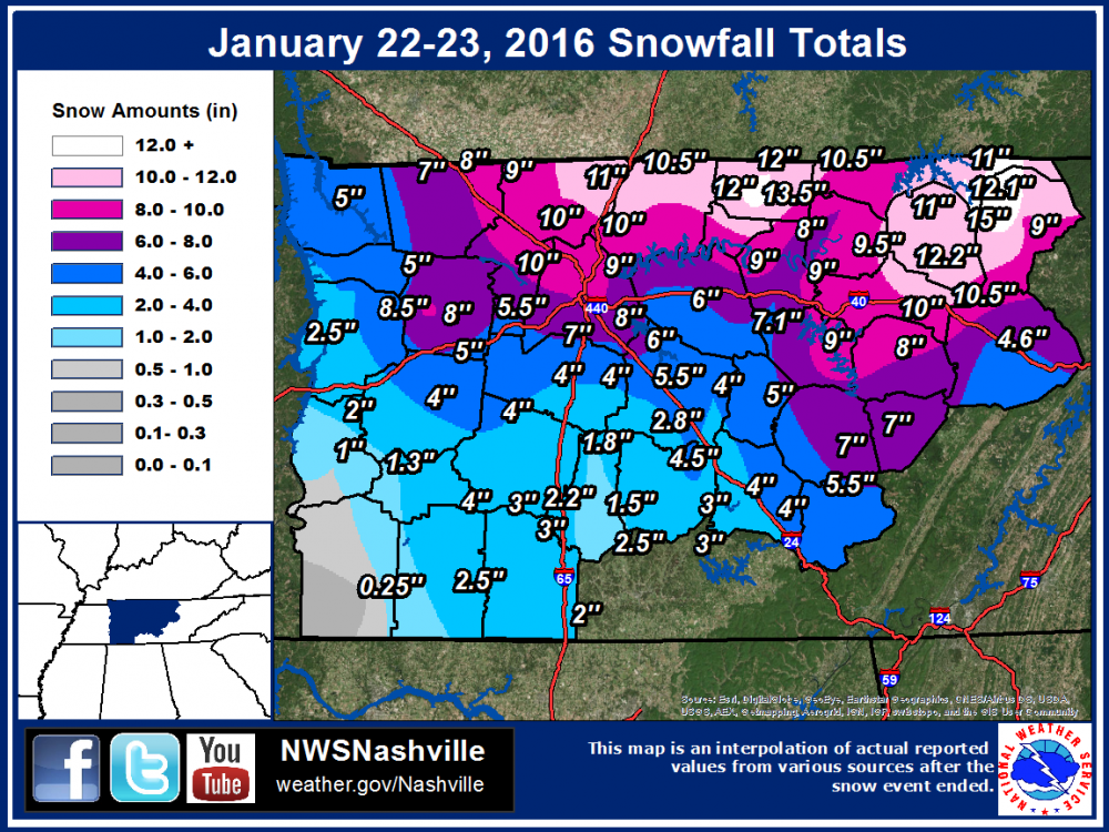
-
January 2021 Medium/Longterm Pattern Discussion.
Shocker0 replied to AMZ8990's topic in Tennessee Valley
Yep and most midstate areas received much more than forecast. Nashville eastward was common 8-12 inch amounts and then it trickled off some once you got east of the Plateau I believe