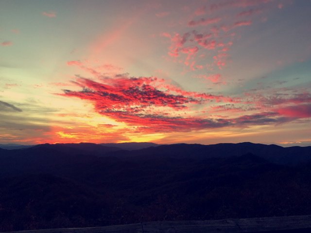
Sw NC weather
-
Posts
629 -
Joined
-
Last visited
Content Type
Profiles
Blogs
Forums
American Weather
Media Demo
Store
Gallery
Everything posted by Sw NC weather
-

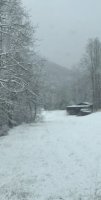
2020 Spring and Summer mountain thread.
Sw NC weather replied to Met1985's topic in Southeastern States
It seems to never end lol. If we can get 2.17 with this next system I’ll be at 35 inches year to date. -
2020 Spring and Summer mountain thread.
Sw NC weather replied to Met1985's topic in Southeastern States
Wow that’s a crazy amount of rain, we’ve got a lot of flooding too. Some of the worst here in the past 15 years. -
2020 Spring and Summer mountain thread.
Sw NC weather replied to Met1985's topic in Southeastern States
What a night loud storms and torrential rainfall. Picked up 5.20 inches of rain since yesterday. Creek s and river s are out everywhere. -
2020 Spring and Summer mountain thread.
Sw NC weather replied to Met1985's topic in Southeastern States
The rain has returned we’ve got over a inch an a half today most of which has fell since 4. Storms looking ruff around 12-2 with a tornado watch now for us on this side of Asheville. Be safe guys! -
December 8-10, 2018 Winter Storm
Sw NC weather replied to Orangeburgwx's topic in Southeastern States
The 12 nam at 84 hr is quite a bit colder then the 6z gfs at hr 90 -
December 8-10, 2018 Winter Storm
Sw NC weather replied to Orangeburgwx's topic in Southeastern States
No started at 12:45 -
Stalls out over nw NC on this run
