OrdIowPitMsp
-
Posts
2,819 -
Joined
-
Last visited
Content Type
Profiles
Blogs
Forums
American Weather
Media Demo
Store
Gallery
Everything posted by OrdIowPitMsp
-

The 2022 Summer Solstice-ish Scorcher(s)
OrdIowPitMsp replied to Hoosier's topic in Lakes/Ohio Valley
While it is 90 degrees currently at MSP, dews have dropped well below forecast into the upper 40s. Feel nice out compared to 101/68 yesterday. -
Summer 2022 Medium/Long Range Discussion
OrdIowPitMsp replied to Chicago Storm's topic in Lakes/Ohio Valley
-
Summer 2022 Medium/Long Range Discussion
OrdIowPitMsp replied to Chicago Storm's topic in Lakes/Ohio Valley
MSP has been mentioning a flash drought developing in numerous AFDs over the past 10 days. We’ve fallen 0.70” below average year to date and over 2” below average for June. -
The 2022 Summer Solstice-ish Scorcher(s)
OrdIowPitMsp replied to Hoosier's topic in Lakes/Ohio Valley
MSP now up to 101. Old record high was 98. https://twitter.com/NWSTwinCities/status/1538991985003941890?s=20&t=aKsREXcyLjlBXgGnN7n5FQ -
The 2022 Summer Solstice-ish Scorcher(s)
OrdIowPitMsp replied to Hoosier's topic in Lakes/Ohio Valley
MSP tagged 100 on a 5min ob at 3:30pm. First triple digit temperature since 2018 -
The 2022 Summer Solstice-ish Scorcher(s)
OrdIowPitMsp replied to Hoosier's topic in Lakes/Ohio Valley
Low of 79 this morning with a steamy dew point of 70. -
The 2022 Summer Solstice-ish Scorcher(s)
OrdIowPitMsp replied to Hoosier's topic in Lakes/Ohio Valley
Does the HRRR have a cold bias in summertime? The 23z run is showing temps in the upper 80s right now, while we sit at 97. -
The 2022 Summer Solstice-ish Scorcher(s)
OrdIowPitMsp replied to Hoosier's topic in Lakes/Ohio Valley
Ouch. We are looking at a few thousand in repairs, but the previous owners didn’t disclose a known issue so we might be getting a new system paid for by them. Staying on topic, high of 97 here today. -
The 2022 Summer Solstice-ish Scorcher(s)
OrdIowPitMsp replied to Hoosier's topic in Lakes/Ohio Valley
Horrible timing for our A/C to decide to start dying a slow death. -
My father was a pilot based out of ORD from 1987-2016. He texted me saying this is the longest meter he can remember ever seeing.
-
Washout of a day, 0.56” of liquid and counting.
-
Spring 2022 Medium/Long Range Discussion
OrdIowPitMsp replied to Chicago Storm's topic in Lakes/Ohio Valley
May 2018 was a crazy month. Latest ice out ever on the metro lakes. The urban lakes didn’t go ice free until May 2nd/3rd followed by the earliest 100 degree reading on record in Minneapolis a few weeks later. -
Going up to Lutsen MN this upcoming weekend for some late April skiing. (We downhill ski into May most years in Northeast Minnesota) There is still a very solid snowpack up there. Looks like for the second year in a row my timing will be poor. Cold rain Saturday with a stiff east wind off Superior.
-
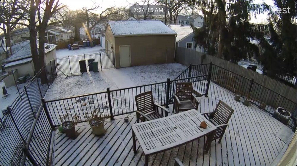
All night snow showers led to just a dusting here. High of 38 today.
-
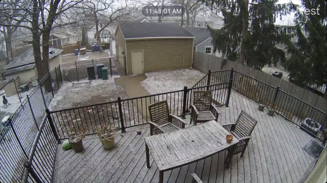
Been lightly snowing here for a few hours. Little bit of slush on the deck but that’s it.
-
Morning low of 25 with pixie dust. Still have some patches of snow from Thursday night. Looks like we might some sloppy snow followed by rain tomorrow night.
-
24 and flakes flying. Good morning everyone.
-
Been snow squalling all day. Dusting on dustings.

-
Sorry for your loss Brian. 28 with a wind blown dusting of snow here this morning.
-
Confirmed EF-2 tornado in Taopi MN last night. Destroyed much of that tiny town. https://m.startribune.com/storms-inflict-heavy-damage-on-taopi-in-mower-county/600164599/
-
Radar is blossoming to my SW, first severe thunderstorm watch of the season.
-
We had beautiful weekend weather here with highs in the upper 50s low 60s region wide. Lake Nokomis is officially ice free as of April 10th. Average is April 4th so a little later this year.
-
Another 0.7” overnight here. Fourth morning this week there’s been overnight snow that mostly burns off by around noon. MSP is now over 50” for the season.
-
All day snow showers today in the Twin Cities. We’ll get a coating on the grass then it will melt as rates lighten up, snow will pick back up and we’ll be covered again. Lots of drought finishing precipitation lately.
-
Another morning with “white rain” and slushy accumulations on the grass.