KoalaBeer
-
Posts
637 -
Joined
-
Last visited
Content Type
Profiles
Blogs
Forums
American Weather
Media Demo
Store
Gallery
Everything posted by KoalaBeer
-
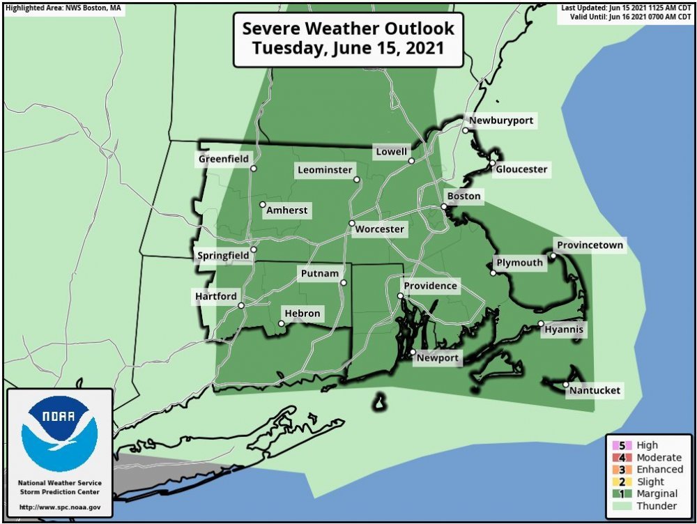
MRGL risk now. I got left out but not surprised. Complete overcoast on the coast here.
-
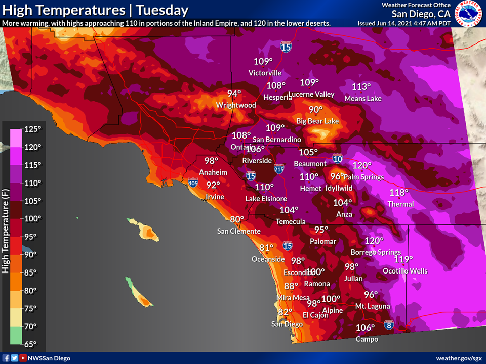
Really good discussion by NWS Las Vegas. They aren’t messing around and are sounding the alarms. Could very well be one of the worst weather events of the year regarding fatalities and human impact unfortunately. Kudos to tip he was sniffing this event out a week ago in a post. https://forecast.weather.gov/product.php?site=VEF&issuedby=VEF&product=AFD&format=CI&version=1&glossary=1 “Regarding impacts: The last time we experienced heat of this magnitude and duration was late June & early July 2013. During that event, southern Nevada saw nearly 30 fatalities and over 350 heat related injuries as well as temporary power outages. Some of those impacts were surely increased due to the 4th of July holiday period but nearly 2/3 of those fatalities occured while indoors...providing a clue that it isn`t just increased outdoor recreation that led to those impacts. There are more considerations that go into evaluating heat risk including vulnerability but given the magnitude of this expected heat wave, most if not all of the population will be at high or very high risk. The lengthy breakdown of the heat concerns in this discussion are specifically intended to contextualize this expected heat event vs others and to bust the myth that this is typical for the Desert Southwest. It isn`t.”
-
If only we were on the west coast. He’d be all over this
-
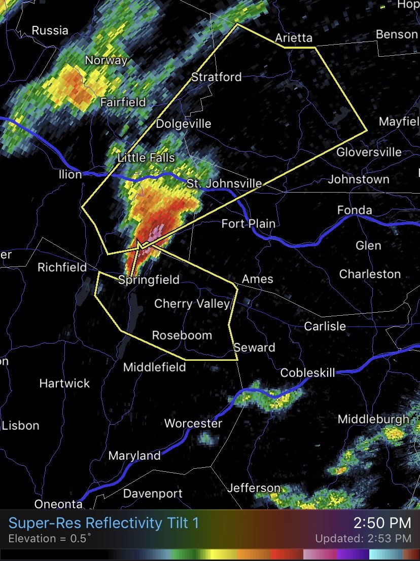
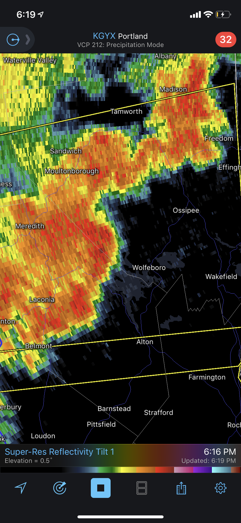
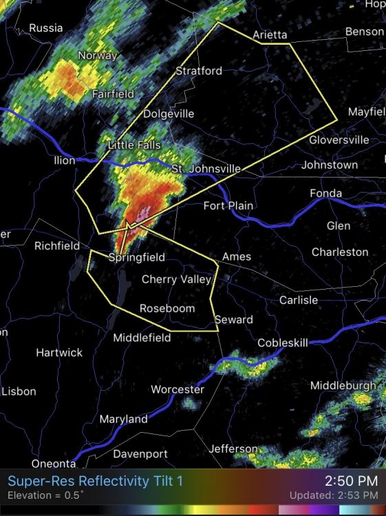
Man that’s some weird polygons out by Albany. Storm is moving due east and they have a polygon pointed southeast and northeast on it. Anyways, tomorrow could be interesting for some strong storms if you want to believe the NAM. Also hoping that TD of the Carolinas gets its act together and delivers some waves to the coast. Haven’t brought the surfboard out lately.
-
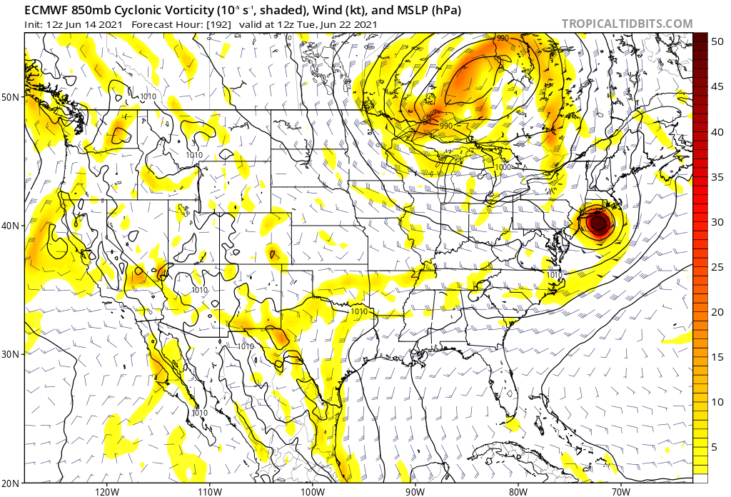
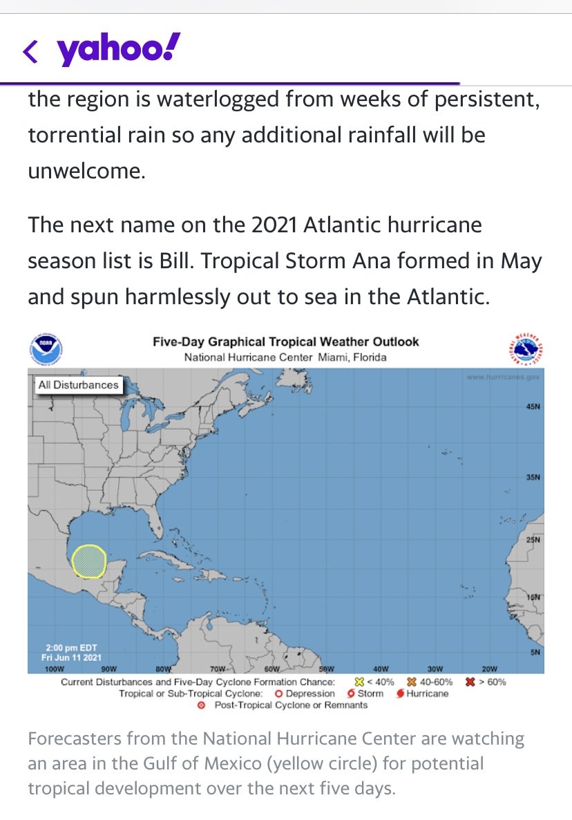
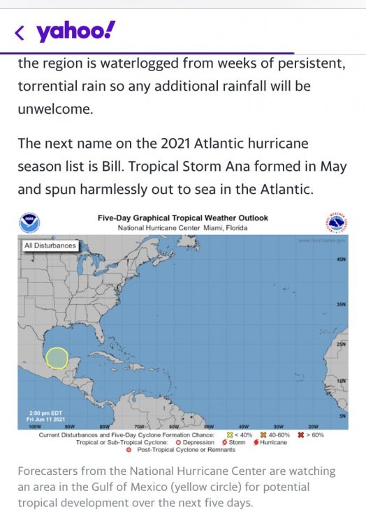
Two pump chump nowadays? On a completely different note I came here to post this hilarious and egregious lead story on Yahoo! right now. How the hell did they think it was a good idea to use that graphic, while they got the graphic correct in the article is beyond me. Bunch of clickbait a**holes probably gave a lot of uninformed folks a heart attack. Not to mention no model or forecast has a Hurricane developing out of this.

-
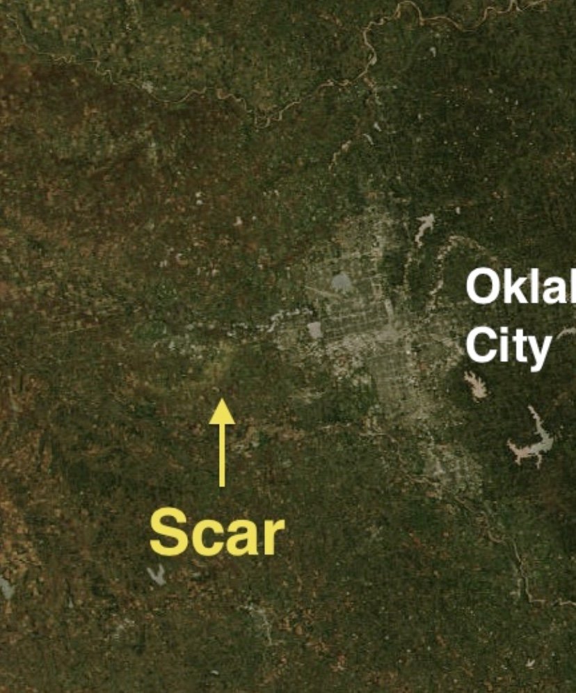
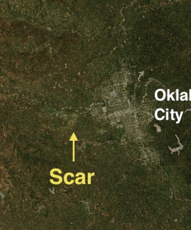
I’m certainly curious to hear people thoughts on the current tornado classification system. I mean as it stands the El Reno tor is officially an EF3. We all saw the photos of the Twistex teams car. So someone more knowledgeable then me...does the EF scale only apply to standing structures (barns, homes, silos etc?) The YCC article I posted states Doppler on wheels is recording winds speeds at the surface 43mph then suggested. Do we need to rethink how we classify tornadoes again in the near future with the technology we have now? I think we all know an EF3 isn’t leaving a ground scar like this despite whatever it did or did not hit on its path. Either way as we move later into June looks like this could be another pretty slow year for Tornadoes.
-
Good article here. Mostly pertaining to EF5 tornado frequency, but also touches on CC as well. https://yaleclimateconnections.org/2021/05/its-been-a-record-long-time-since-the-last-ef5-tornado-what-does-that-mean/
-
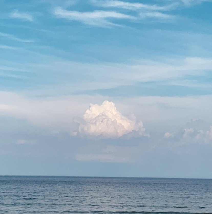
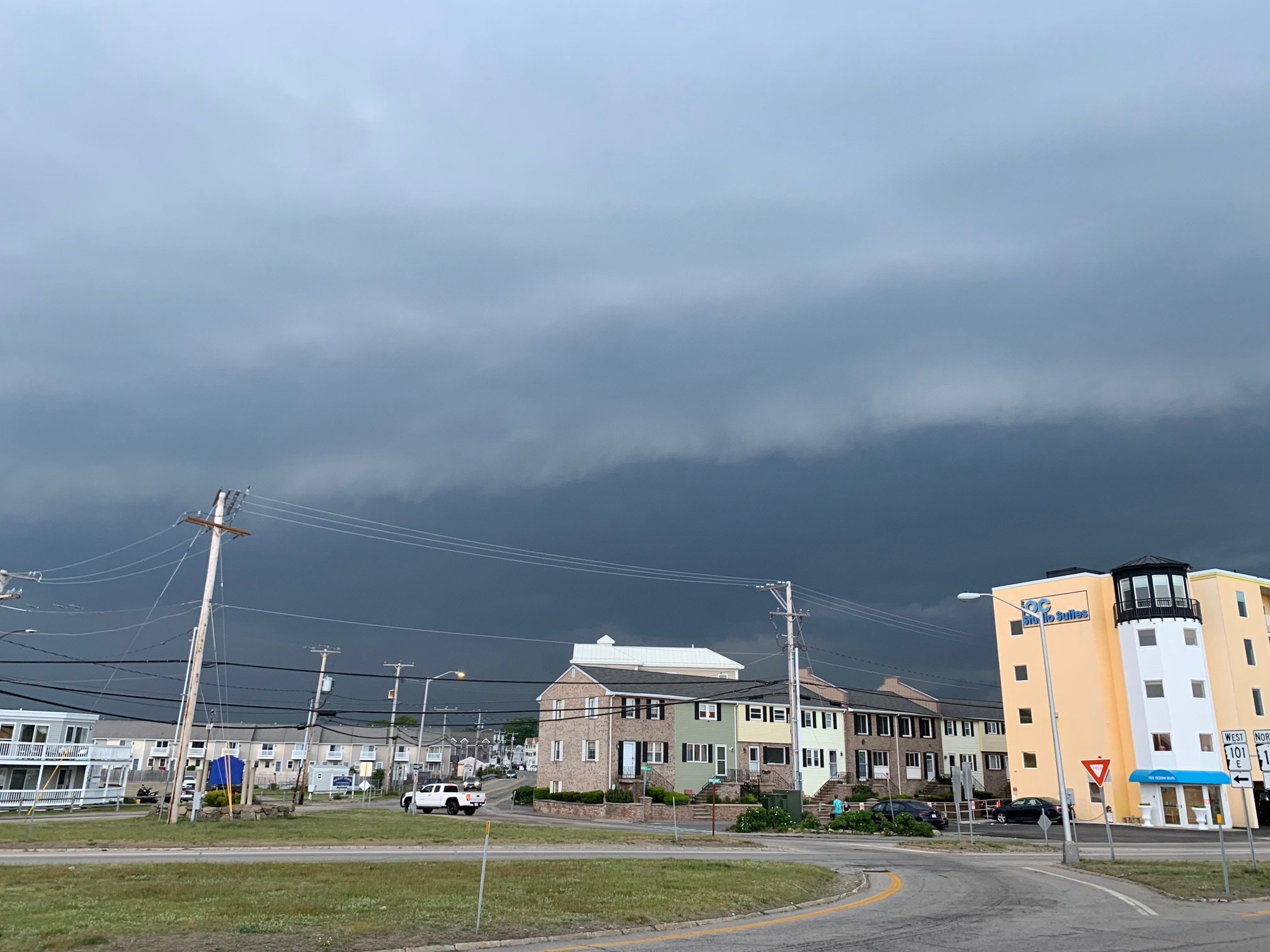
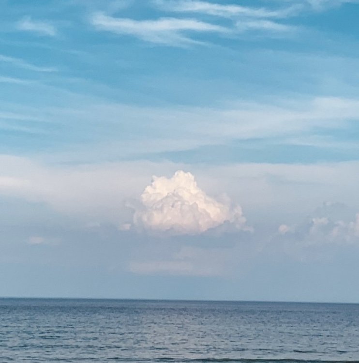
Nice thunderstorm for the fish looking out towards Cape Ann.
-
Ya I don’t know maybe Southeast MA gets in on some goods later based off meso models. Not seeing to much to go that aggressive on a discussion. Without looking at any data, these hot New England days rarely seem to produce hail, and more in the way of tropical downpours without way better dynamics. Paging @weatherwiz for a take.
-
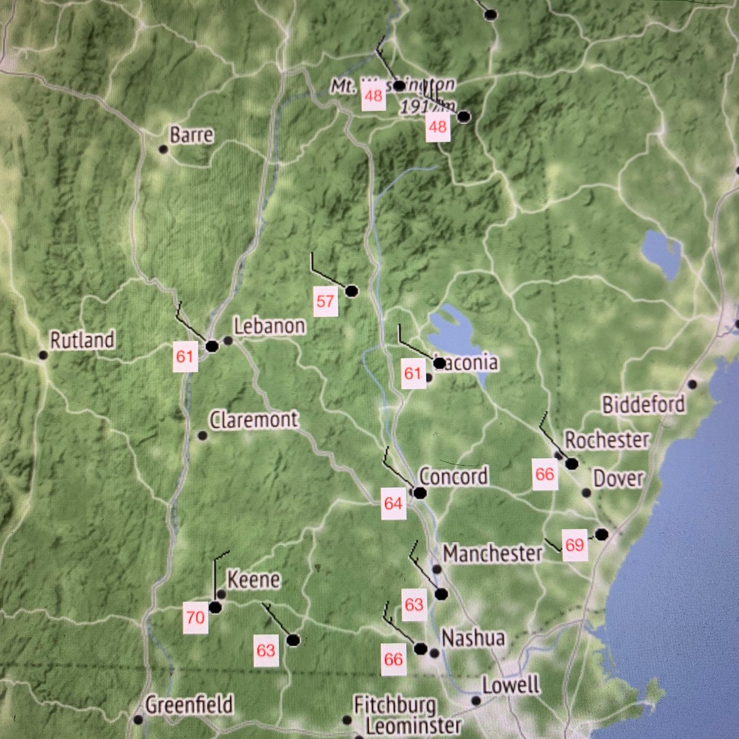
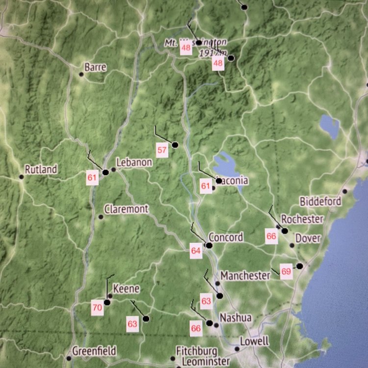
Ya re read your post and got what you were referring to with the downsloping coming off the whites. But also Laconias DP has dropped from 62.1 -> 57.2 in 31 minutes. Seems a little much to not be the front no?
-
Ya still felt brutal out there when the sun was fully out. Looks like it’s starting to move through the lakes region now according to mesowest obs. Current DPs for NH.
-
Same, I always play better walking. More time in between shots to think and relax. Unfortunately I got a weird foot issue going that it’s tough for me to walk more then 9. Looks like my wishes will come through and I’ll get some good downpours on the NH seacoast. Bunch of downpours forming on the NH/MA border!
-
Ditto. Made tee times Friday/Saturday this week right when I saw the forecast. Personally I have zero desire in swinging them in this heat. Really hoping we get some storms here later. Sleeping was brutal last night. Need some rain to cool my apartment down by tonight.
-
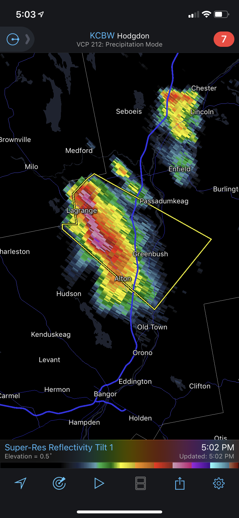
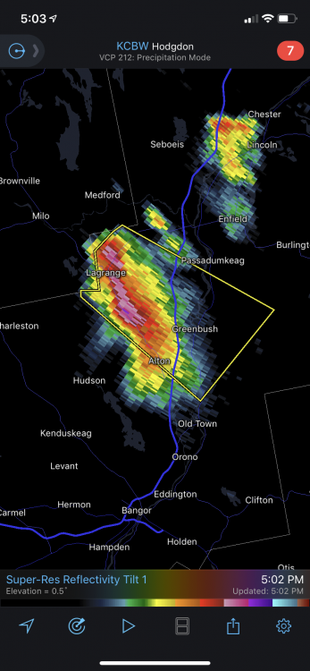
Rogue supercell in Maine with 75dbz echoes!?
-
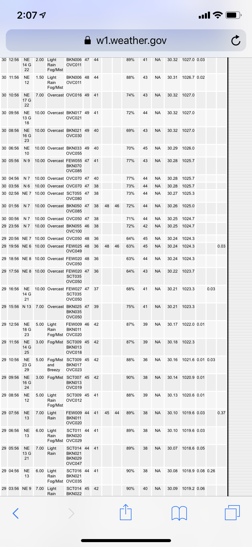
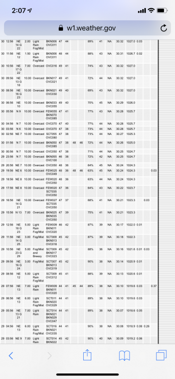
What a brutal stretch of cold wind swept rain here. Past 48hrs of obs at Pease are just crap. Apparently it didn’t scare anyone away from coming to Hampton for the weekend. Bars are packed inside, hopefully most have there shots. https://w1.weather.gov/data/obhistory/KPSM.html
-

Wednesday, May 26, 2021 Convective/Severe Weather Potential
KoalaBeer replied to weatherwiz's topic in New England
Ya you got to email it or use a file transfer service if the clip is to large. Sending through text compresses it especially if it’s being sent from iOS->Android or vice versa. Edit: try using services like WeTransfer, Google Drive etc for this type of stuff. -
Wednesday, May 26, 2021 Convective/Severe Weather Potential
KoalaBeer replied to weatherwiz's topic in New England
Hampton NH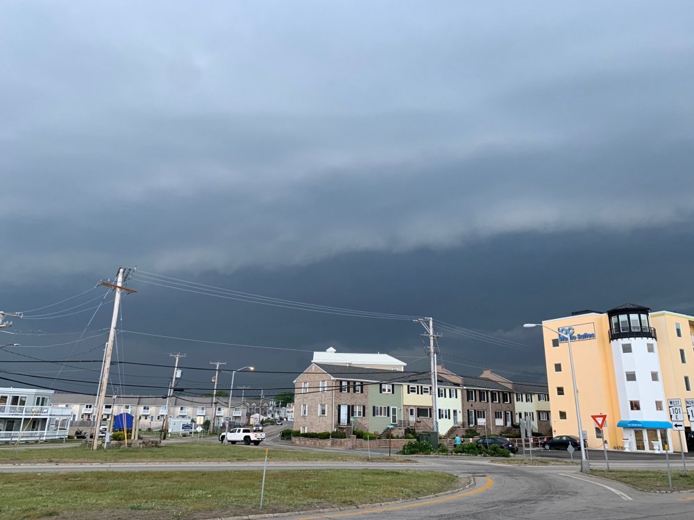
-
Wednesday, May 26, 2021 Convective/Severe Weather Potential
KoalaBeer replied to weatherwiz's topic in New England
Not for our region, but imagine living in this area of Kansas right now WTF do you do haha? Im hoping this line comes through right at sunset for some good photo opportunities on the beach!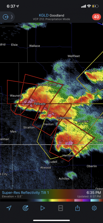
-
Wednesday, May 26, 2021 Convective/Severe Weather Potential
KoalaBeer replied to weatherwiz's topic in New England
That Winnipesaukee cell is nasty looking. Would want to be caught on the water in that one. Got family on Wolfeboro and Freedom I gave some heads up on that one.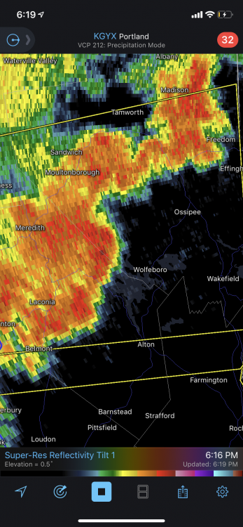
-
Wednesday, May 26, 2021 Convective/Severe Weather Potential
KoalaBeer replied to weatherwiz's topic in New England
https://www.washingtonpost.com/weather/2021/03/30/nws-internet-infrastructure-outages/ Behind a paywall but it’s a good read. We’ll see if anything interesting gets going in Maine here in the next hour or two. If not I’m just staying put and watching whatever rolls through IPA in hand on my porch in Hampton. -
Wednesday, May 26, 2021 Convective/Severe Weather Potential
KoalaBeer replied to weatherwiz's topic in New England
Good discussion from Gray. Maybe I’ll be taking a quick ride up into the Maine coast from my place. While overall flow is SWly, local convergence due to a seabreeze boundary attempting to push inwards will also make the area from Lewiston south through interior Cumberland and York counties and into Strafford county favorable for tornado formation if any significant cells are able to form and take advantage of this environment in the early afternoon. -
Luckily Hampton FD caught this quickly. Could easily skipped over and caught my neighbors place or mine on fire with the heat and constant wind on the coast.
-
I didn’t have many interactions with James on here, but they were always funny and lighthearted. The man loved his weather and his posts always got me excited for winter. Condolences to friends and family, it’s extremely difficult losing someone so young.
-
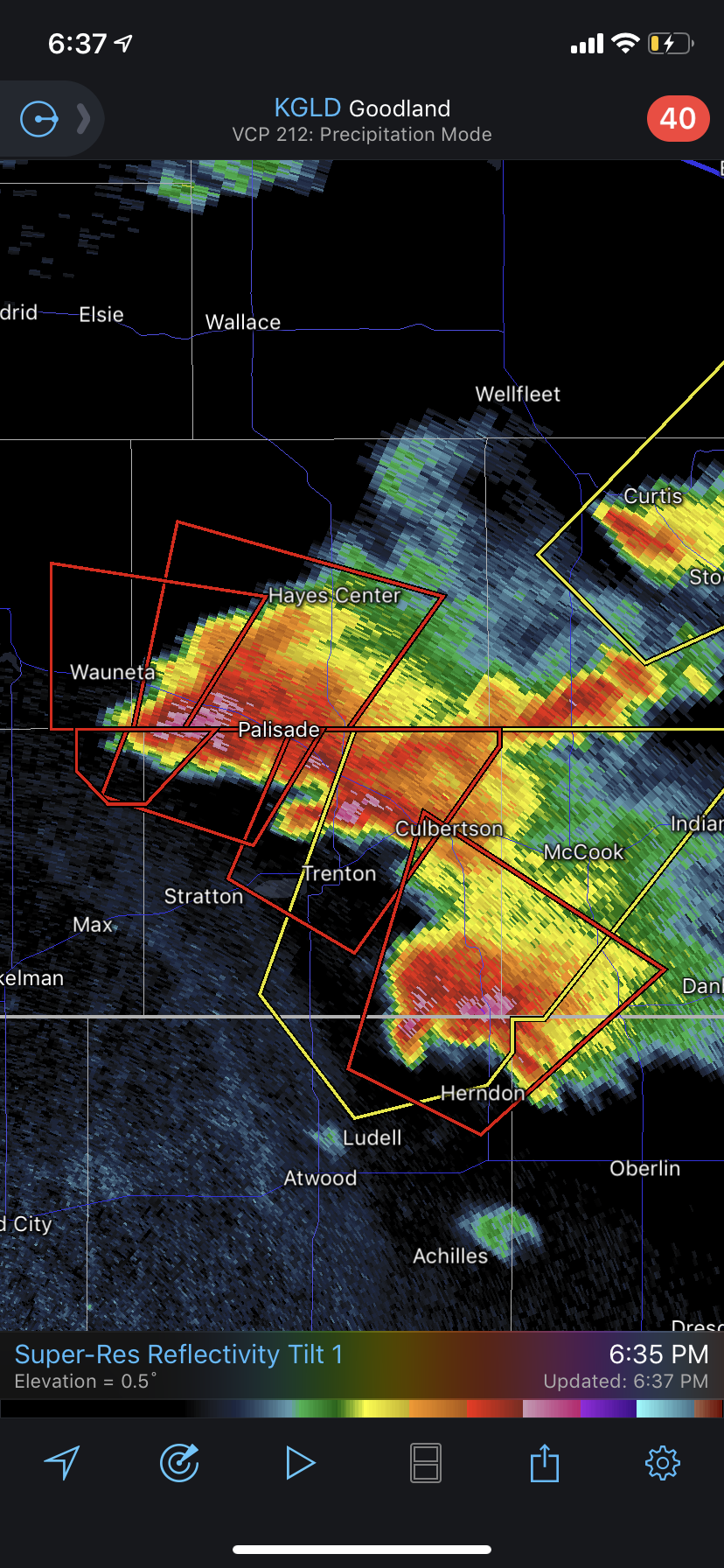
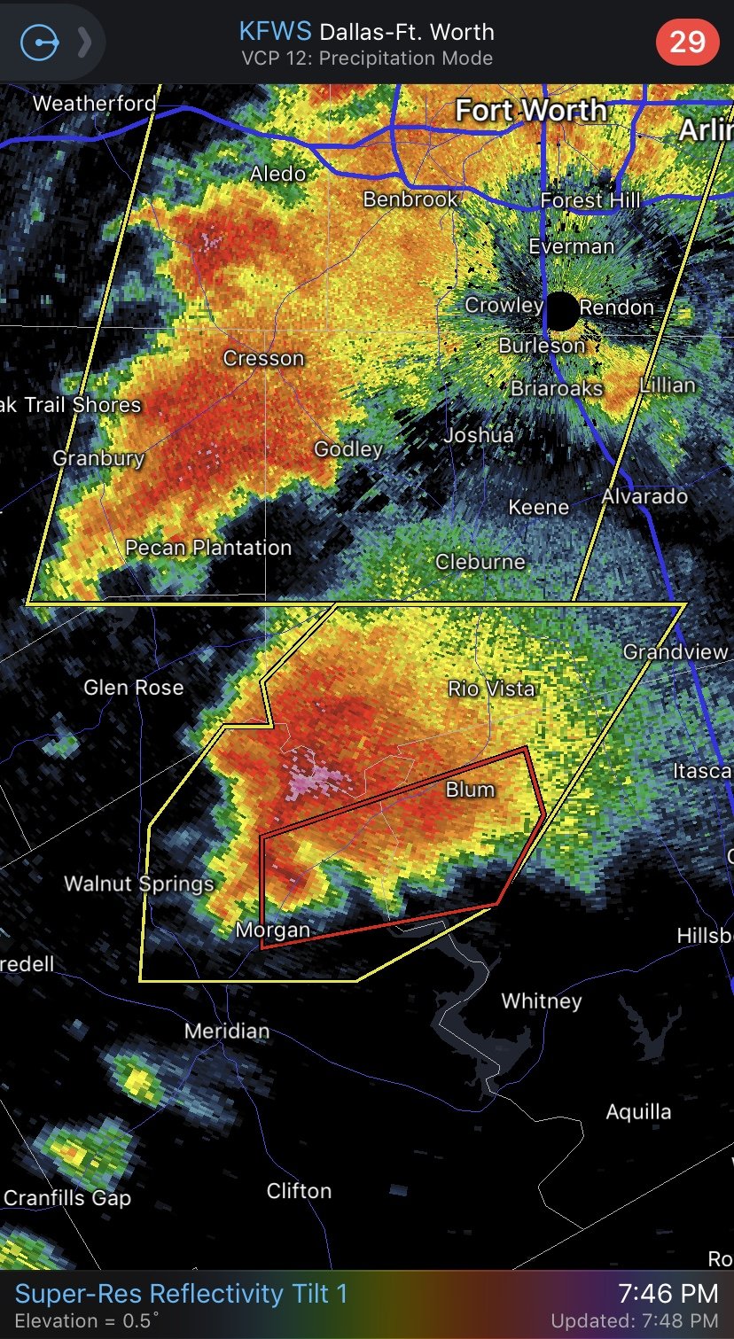
Lol what is this fantasy world you live in that everyone works 8–4 or 9-5 and is sitting at the dinner table by 6? Good for you if you can do that, but that’s out of touch with reality in particular my generation (young 30s) On another note, that’s one textbook supercell in TX.