CheeselandSkies
-
Posts
3,244 -
Joined
-
Last visited
Content Type
Profiles
Blogs
Forums
American Weather
Media Demo
Store
Gallery
Everything posted by CheeselandSkies
-
 What doesn't look great about it to you? There are some potential failure modes to be sure but I think it checks a lot more boxes than that day did. *Edit Annnnnd 12Z 3K NAM coming in hot (unlike any of the CAMs at this range for 4/28). Unusual for this model to resolve semi-discrete convection like this. These simulated cells are moving through a strongly unstable and sheared environment. The solution verbatim would also resolve a lot of the timing issues that have been shown on the coarser models (especially the GFS).
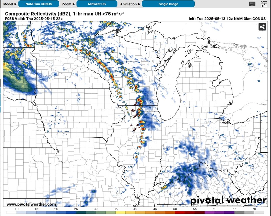
-
Initial Day 3 outlook was surprisingly underwhelming. Gun-shy after the one they put out for April 28? But this setup looks a lot more concerning simply from a trough geometry standpoint.
-
Been hoping you would chime in here and/or TW.
-
12Z NAM came in pretty spicy. Again, there are some pattern fundamentals that suggest this one has a better chance of verifying a threat than 4/28, namely a pronounced negative tilt and a potent LLJ with a more southerly component. Still some details yet to iron out which held SPC back from pulling the trigger on a 30% zone.
-
Would really need to see the timing of the system slow down (by just about 3 hours) compared to recent GFS solutions to maximize the severe threat in Wisconsin/Illinois Thursday afternoon. Today's SPC outlook notes that is in fact a bias with the model, but it continues to hold consistent with that through the current (06Z) run.
-
Spring 2025 Medium/Long Range Discussion
CheeselandSkies replied to Chicago Storm's topic in Lakes/Ohio Valley
SPC introduced a Day 6 risk yesterday for this coming Thursday the 15th and maintains it today. No surprise as GFS and Euro have been relatively consistent with a pattern that would support severe weather primarily across Wisconsin, northern into central Illinois, western Indiana and perhaps far eastern Iowa. Here's the 500mb forecast from the most recent GFS, nice negative tilt with the left exit region pointed squarely into the region. That alone would suggest a higher likelihood of actually producing than April 28th.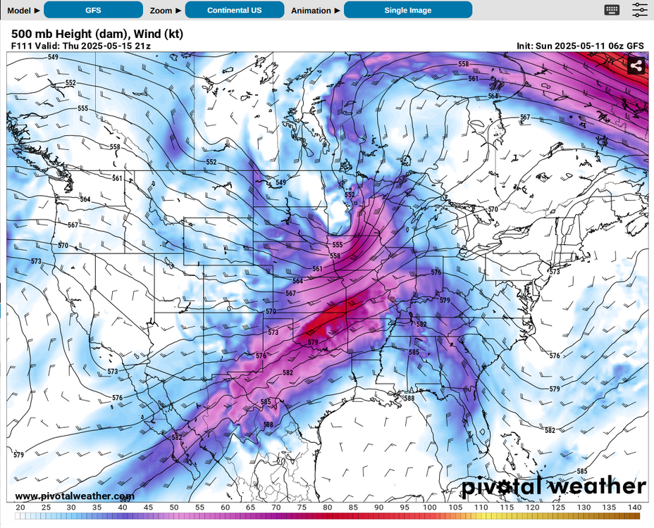
-
Does this bleed over into other NCEP models as well? NAM, CFS, RAP? If so, going to make forecasting the rest of chase season a b****.
-
So as we know Monday April 28th was not a big day. I found the initial, quite strongly worded Day 3 moderate risk a bit of a head-scratcher from the get-go given the lack of a CAM signal for initiating discrete convection. However I had already booked the PTO from a week out when the setup looked potentially higher-ceiling so I went anyway given that there eventually was a signal for some storm development.
-
To me a bad April is like 2018 when it was still snowing regularly almost until the 20th. However, a really good April needs at least one threat into this region (that verifies, not Monday's overhyped trash).
-
Spring 2025 Medium/Long Range Discussion
CheeselandSkies replied to Chicago Storm's topic in Lakes/Ohio Valley
Puke. Classic dreaded spring omega block that prevents western troughs from maturing and ejecting properly for events. -
Not sure if I've ever seen SPC go so hard against the CAMs before. Used to those models being overly bullish with supercells that don't happen (such as the meme-worthy HRRR run from the morning of 5/20/2019).
-
Where'd you get that? Furthest range RAP run I know of right now is today's 15Z which goes out 51 hours to 18Z Monday.
-
Copy/paste of what I just posted on TW: There are some weird things about this setup. It's certainly not going to be your absolutely classic 500mb pattern for a tornado outbreak (like, say 3/31/23 and 4/26/24 were). At first glance the 500mb looks way too positively tilted. However, it doesn't seem to have the big problem you usually get with a strong positive tilt, which is a SW-NE oriented front with all the strong 500mb flow parallel to and relegated to largely along/behind it. With Monday, at the surface we still have a more N-S oriented cold front/dryline with the flow extending out over the warm sector. NAM/3K NAM are also doing weird things with the thermos (surprise) which makes it tough to get a good handle on what the warm sector environment will actually be like over Iowa/Wisconsin going into Monday evening. All in all I think the Day 3 MDT was a bold call given all this (seems to be based solely on the jet translation speed), but they're the ones who have been doing the work on it.
-
As of this past Monday the signal was strong enough for me to book PTO for this coming Monday-Wednesday so that I can chase Sunday-Monday and perhaps Tuesday. Based on modeling over the last few days, currently will probably target somewhere along the central to western KS/NE border on Sunday and north-central to northeast Iowa for Monday, although tornado parameters look potentially dangerous into Wisconsin.
-
Spring 2025 Medium/Long Range Discussion
CheeselandSkies replied to Chicago Storm's topic in Lakes/Ohio Valley
I was living in Milwaukee at the time and I recall it being bone dry from "Morch" onward. -
Spring 2025 Medium/Long Range Discussion
CheeselandSkies replied to Chicago Storm's topic in Lakes/Ohio Valley
Getting a nice round moving through the state line region this AM. After drought concerns in the late winter due to the lack of snow, April showers have been in plentiful supply. This ain't gonna be 2012, at least around here. -
2025 Short Range Severe Weather Discussion
CheeselandSkies replied to Chicago Storm's topic in Lakes/Ohio Valley
12Z HRRR and 3K NAM both fire a supercell in south-central WI this afternoon, and this one has some surface-based instability to work with... Chase mode activated? We shall see. -
2025 Short Range Severe Weather Discussion
CheeselandSkies replied to Chicago Storm's topic in Lakes/Ohio Valley
As per the other posts, was a pretty significant hail event by our standards. The station I work at was wall-to-wall or nearly wall-to-wall from shortly after the first thunderstorm warning went out at around 5:10, until the storms cleared the Madison broadcast market shortly before 8:00. -
2025 Short Range Severe Weather Discussion
CheeselandSkies replied to Chicago Storm's topic in Lakes/Ohio Valley
3K NAM has been reluctant to fire convection tomorrow since it came into range, but 18Z HRRR actually doesn't look terrible parameter space-wise around the WI/IL border region, and fires storms around 23-00Z. -
2025 Short Range Severe Weather Discussion
CheeselandSkies replied to Chicago Storm's topic in Lakes/Ohio Valley
Today's Euro runs would have a decent threat into parts of the sub on Sunday. GFS is nowhere near as impressive. Basically a complete 180 from their respective positions on tomorrow's threat at a similar range. -
Spring 2025 Medium/Long Range Discussion
CheeselandSkies replied to Chicago Storm's topic in Lakes/Ohio Valley
12Z NAM is way slower, has the greatest threat back in central NE/KS at 0Z Friday (Thursday evening). Meanwhile Euro shows pretty meager moisture. GFS has looked pretty good over IA for a few runs, but it's really by itself with that. If the GFS is in fact being too progressive, I could see Friday actually being a significant day somewhere in the E IA/N IL/S WI region. -
Spring 2025 Medium/Long Range Discussion
CheeselandSkies replied to Chicago Storm's topic in Lakes/Ohio Valley
GFS suddenly looks pretty good over southwestern Iowa (last year's hot spot) on Thursday evening. However Euro is not nearly as aggressive with the moisture. -
60th anniversary of Palm Sunday '65. The very definition of a Midwest regional outbreak affecting each IA, IL, WI, MI, IN, OH with significant tornadoes. Nothing else comes close for this part of the country, even though a few have flashed potential (like 3/31/23).
-
I really appreciate that despite chances repeatedly coming up in my local forecast the last few days, it hasn't actually snowed. Now can we get some real warmth and legit chances north of I-80, please?
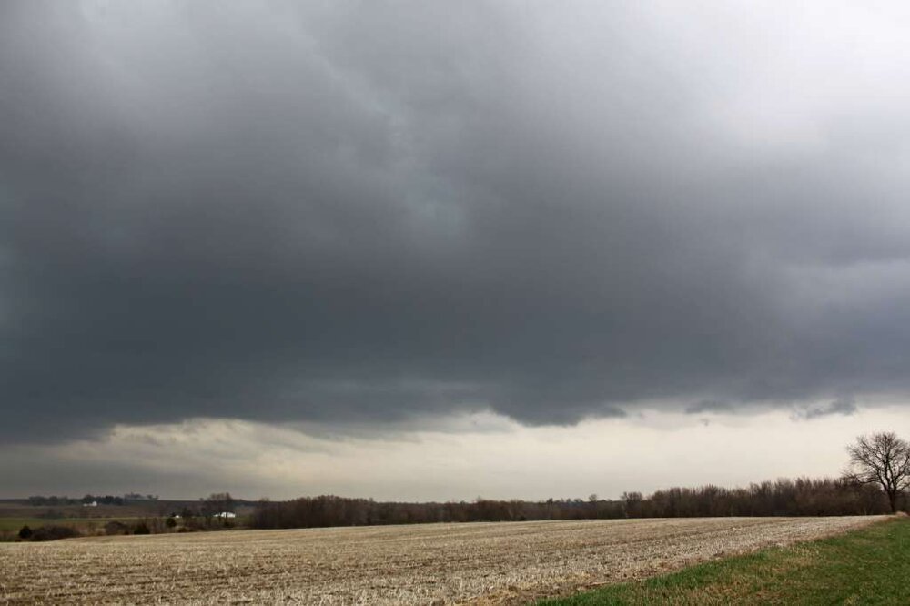
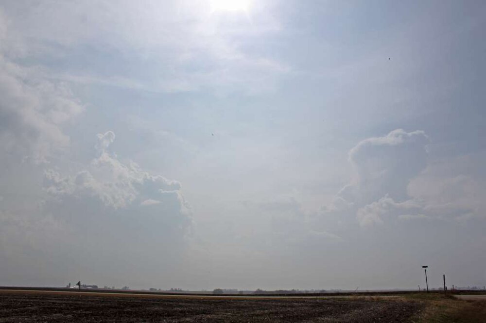
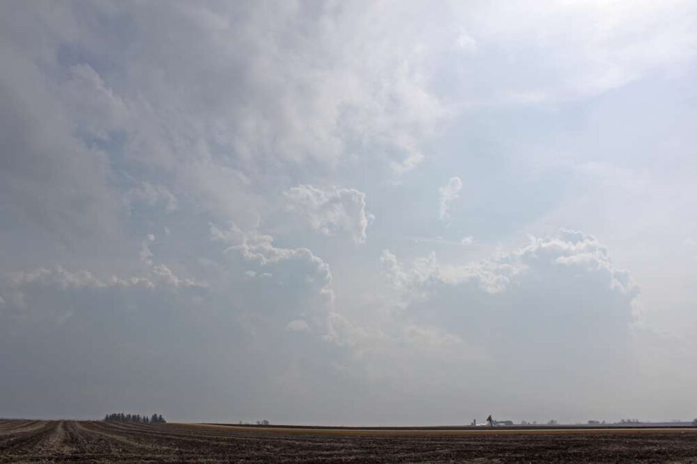
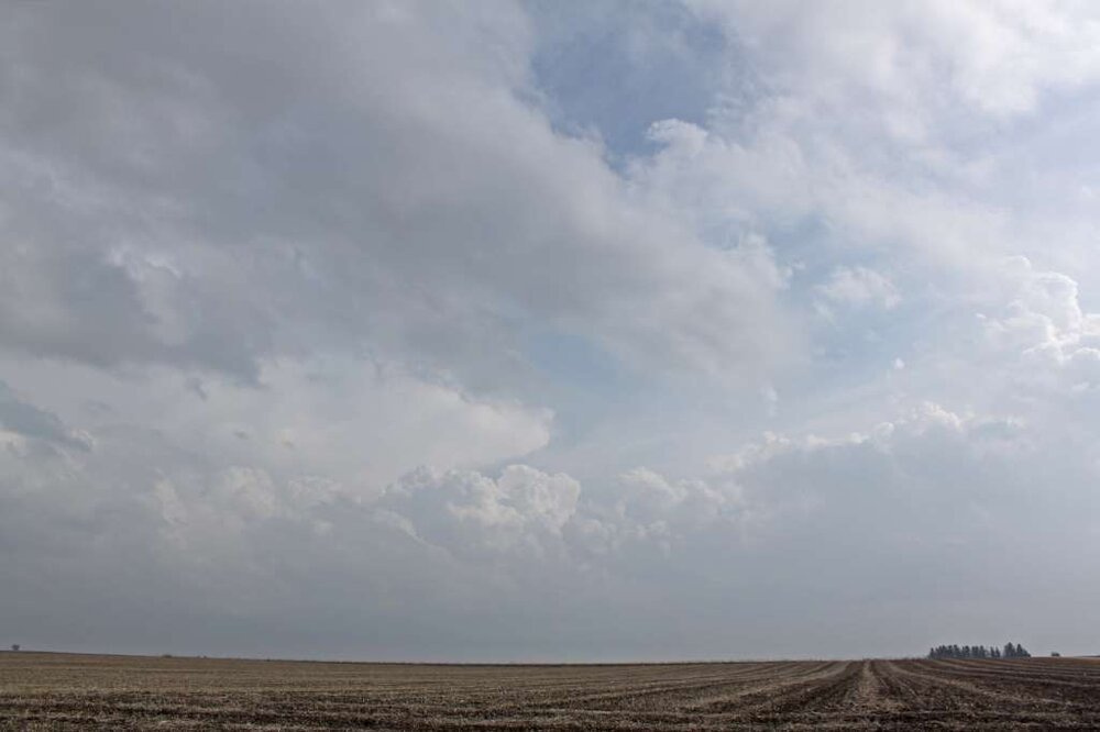
-
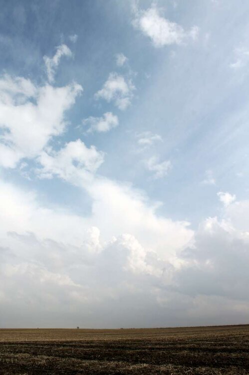
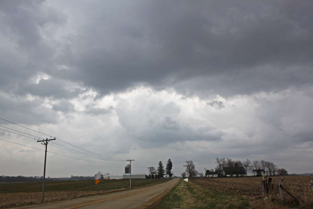
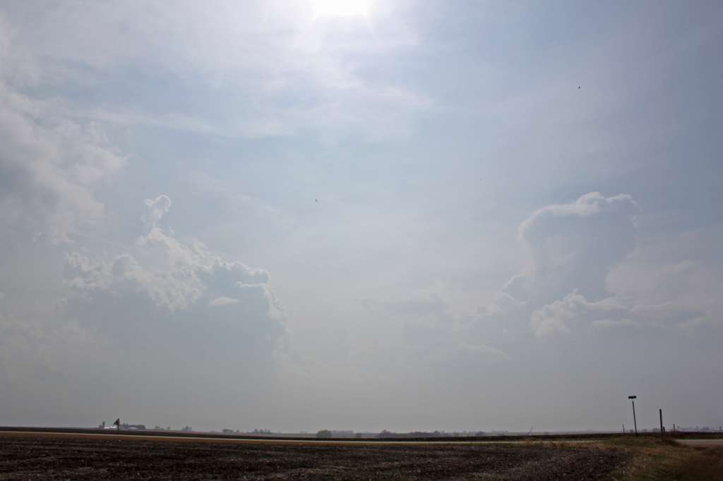
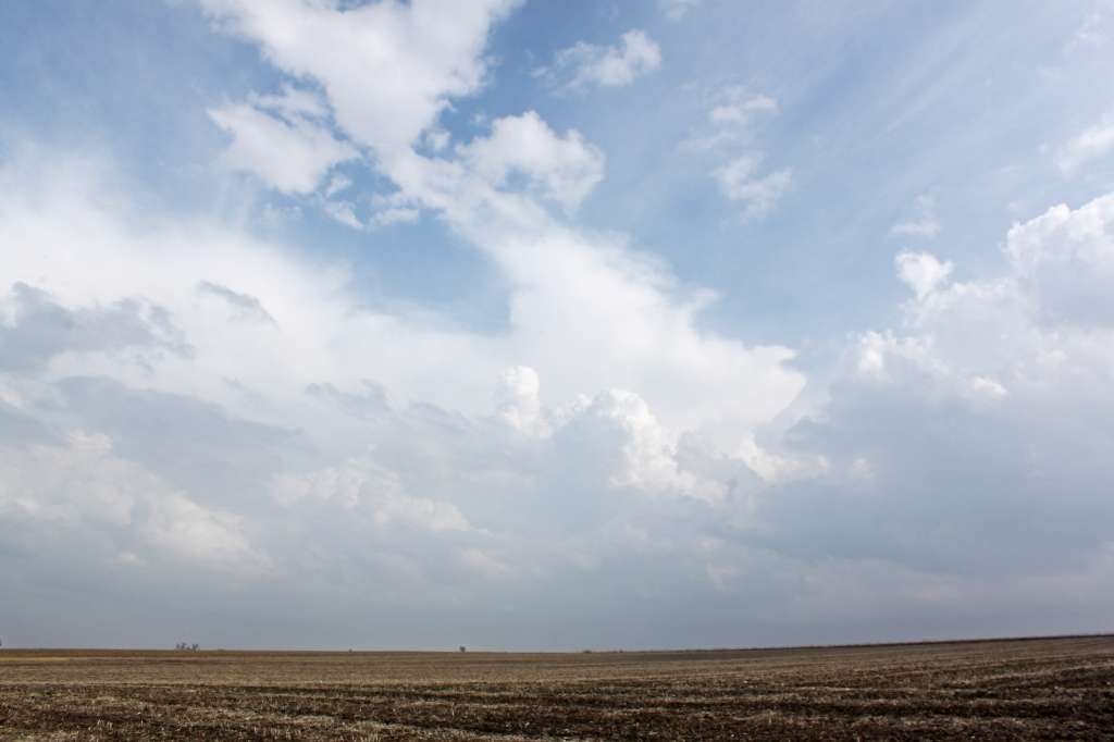
It's the 10th anniversary of the Rochelle-Fairdale EF4. One of the few truly spectacular, high-end, Plains-style tornadoes in this sub north of I-80 (and especially for north of I-88) in modern memory. For me, it was the second demoralizing miss of a spectacular tornado event in as many years. These photos were taken between 3 and 4 PM along Illinois Highway 26 just north of Forreston, a little over 20 miles from where the tornado would touch down about 90 minutes later. Just as I thought I'd broken through the warm front, I kept encountering more showers (I now realize these were the incipient updrafts that amalgamate over time to form tornadic supercells in these type of events). Even as things cleared out and I started to see bubbly cumulus, I felt it was still too cool at the surface and too late in the day for sufficient destabilization. I decided it would probably play out similar to the previous year's April 28th, which I had also chased (apart from the moderate/later high risk down south, that day was also expected to be favorable for tornadoes closer to the main surface low in northern Illinois), with just a band of grungy, featureless outflow-dominant storms forming. On top of this, the "CHECK ENGINE" light in the car I had at the time (2005 Ford Focus hatchback) had come on during the drive down, and I didn't know how serious it was. I drove home only to pull up GR Level 3 on my desktop just as the monster hook and velocity couplet appeared. Pretty sure I literally banged my forehead into my desk several times.