

George BM
-
Posts
2,603 -
Joined
-
Last visited
Content Type
Profiles
Blogs
Forums
American Weather
Media Demo
Store
Gallery
Posts posted by George BM
-
-
-
40 minutes ago, Kmlwx said:
Snapped this picture of an unusual visitor to BWI earlier. Sierra Pacific Airlines has only two planes in their fleet. They last made a stop in Baltimore in late February. Seems they charter for military sometimes/often. Have been experimenting with an app called JetTip the past day or two. Has been cool to get an advanced heads up of "interesting" planes going into selected airports.
Not a great picture - had to reduce it down a bit to fit on here.

Boeing 737-700?
-
Junust 16th.
-
1 minute ago, Kmlwx said:
I see you sneakily added the question mark
Yeah. I'm not sure. My NOAA weather radio went off saying there was a watch for local counties (Arlington, Fairfax, etc... *shrugs*)
-
Severe Thunderstorm Watch coming out for parts of our area?
-
2 minutes ago, Kmlwx said:
Cell continues to look healthy. Track is not so great for me. Seems it will straddle or go just south of the Potomac. Looks good for places like Herndon - and further down the line DC proper.

-
 1
1
-
 1
1
-
-
Guess what four letter word that starts with an 'H' (or 5 letter word that starts w/ an 'S') is coming back to play with us from late today through the next few days? Were you all starting to miss it?
-
16 hours ago, yoda said:
Whens the last time we saw a PDS STW?
Off the top of my head I believe there was one last year on May 12th in the Plains.
-
 1
1
-
-
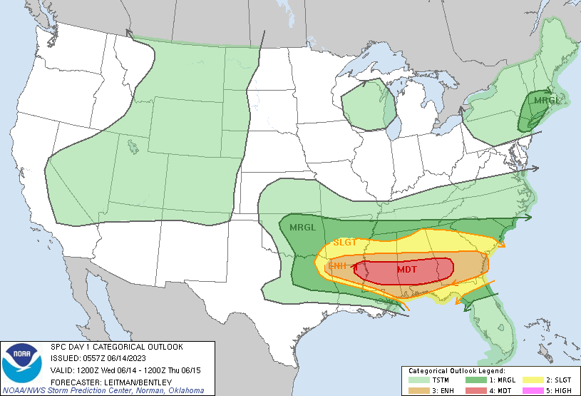
Classic intense WNW flow mid-June severe potential today. Moderate risk for wind issued by SPC.
"A series of mid/upper shortwave impulses are expected to shift east
   across the Lower MS Valley and Southeast today in strong
   west/southwesterly mid/upper flow. Consistency among various
   forecast guidance shows at least 40-50 kt west/southwest flow
   between 850-700 mb with 60+ kt at 500 mb. A plume of very steep
   lapse rates will overspread the region, and 500 mb temperatures
   around -10 to -11 C will be common. Forecast soundings indicate
   midlevel lapse rates around 8-8.5 C/km over the region..."
"...strong
   destabilization with MLCAPE values exceeding 3000 J/kg..."
"...Locations may see a mix of supercells
   and intense bowing segments during the day, with potential for a
   derecho developing..."
The upper Midwest can sure be interesting this time of year wi- one sec... Wait this is for the deep-south?!
-
3
-
-
Happy Ten Year Anniversary, weenies!
-
1
-
-
1 hour ago, Stormfly said:
0.65 here. Definitely a soaker but we need much more (that is becoming a theme here LOL).
Had some nice gusts in the past hour, humidity is coming down. Did not hear thunder here despite all the lightning strikes around.
We're close to the jackpot it looks like for this. Puddles in the garden, and gutters overflowing in last run. Checked and 4/5 downspots were literally stoppered with seeds. Easy fix but usually biannual gutter maintenance works. I guess with the lack of rain stuff gets clogged up good. It's been a while.
Oh and how about that air quality? Finally well into the green for PM2.5 here!

First sunset in a long time that's had no discernable haze in the sky. Nice deeper blue skies as well.
-
1
-
-
73/70 at IAD.
IADs first 70F+ dewpoint of the year.
-
2
-
-
37 minutes ago, yoda said:
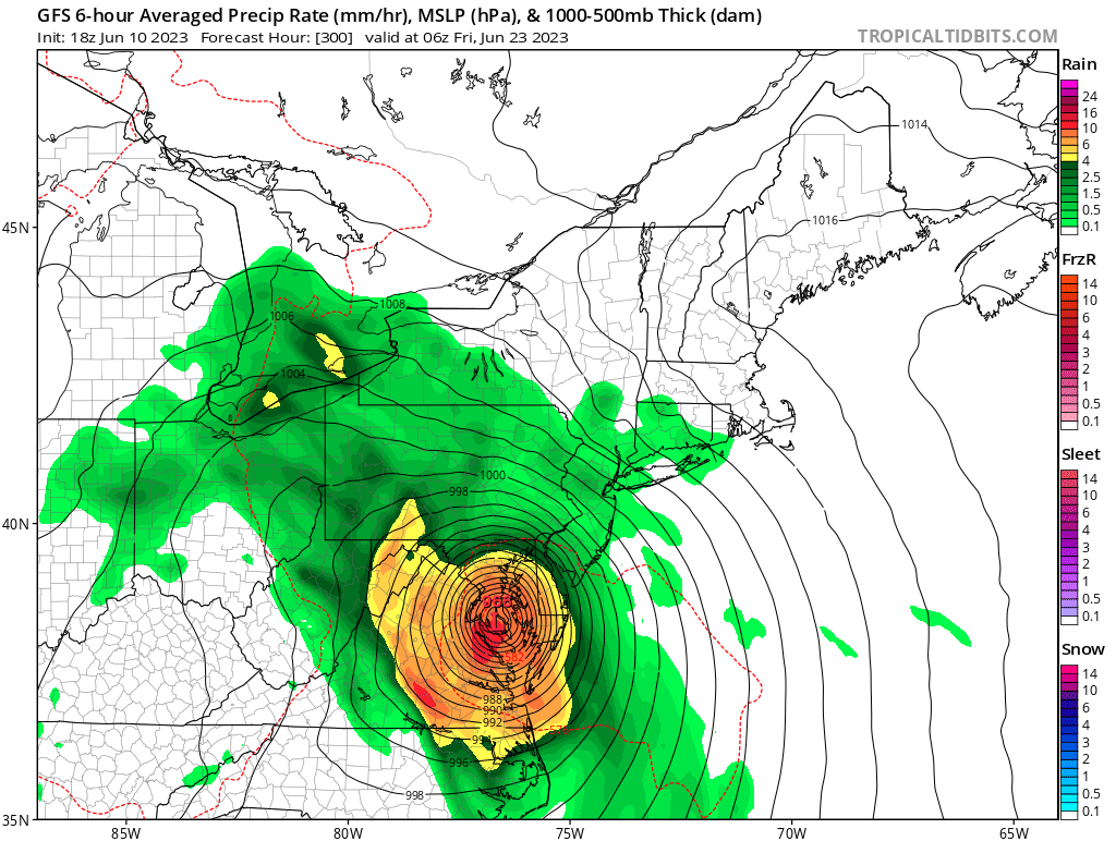
@George BM would enjoy the 18z GFS


Oh GFS. If only you didn't occasionally suffer from severe CFb (convective feedback).
-
1
-
5
-
-
I wonder when the last time a Code Purple for air quality was issued for DC.
-
1 hour ago, George BM said:
AQI at Herndon is at 235 this hour.
Let's go for 300+!

313 this hour! Into 'Hazardous' Level 6/6. We made it!
-
Herndon AQI now up to 254.
ETA: 276!
-
Eyes are now slightly irritated. Impressive!
-
AQI at Herndon is at 235 this hour.
Let's go for 300+!
-
1 1/2 mile visibility at IAD.
-
Up to 204 AQI here in Herndon, VA.
Event of the year thus far.

-
1
-
-
Smoke has been the highlight of peak severe season... so far.
-
BTW...
2 1/2 mile visibility currently at IAD. 64/49
-
How does this morning compare to 2002 to those you you who remember?
-
Just now, SomeguyfromTakomaPark said:
When is the smoke forecast to dissipate?
Perhaps by the end of the week or this weekend locally.

2023 Mid-Atlantic Severe Wx Thread (General Discussion)
in Mid Atlantic
Posted
Yeah that Monday/Tuesday timeframe has one of my eyes.