klw
-
Posts
4,999 -
Joined
-
Last visited
Content Type
Profiles
Blogs
Forums
American Weather
Media Demo
Store
Gallery
Everything posted by klw
-
I just finished shoveling the drive of Friday night's 9". My back would be happy if SNE takes this one away from here. Both my snowblowers have decided to take this winter off and the weekends have generally been too cold for me to work on them. All shovelling this winter.
-
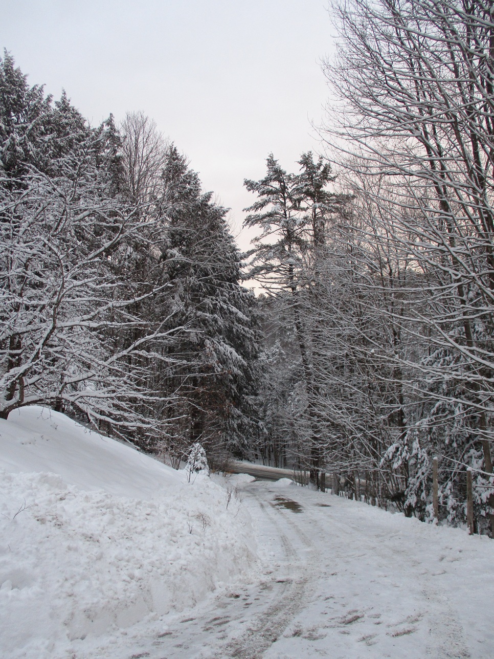
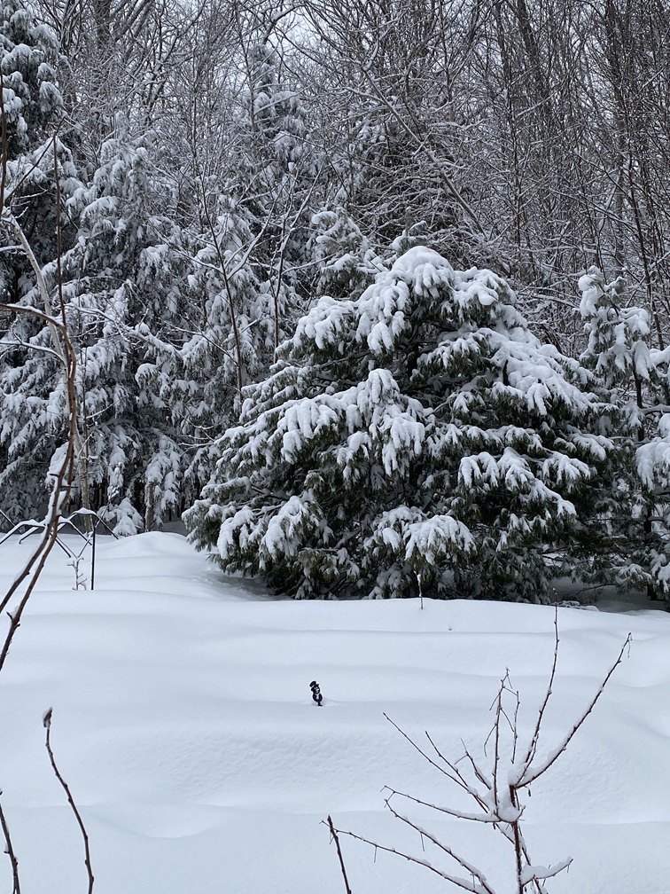
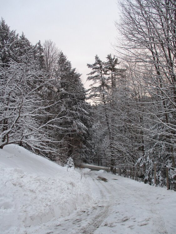
Lets play find the snow depth stick

-
Did the NYC trip get cancelled? Are you in RI for this?
-
1.9 after the clear, 8.9" total,
-
Just did the pre-bedtime board clearing- 7.0 " new-
-
Up to 5.5" now and just dumping out
-
It started here right about 3pm. I just checked and we are already at 3" new.
-
The snow at the Mansfield stake has tracked 03-04 pretty closely so far. https://matthewparrilla.com/mansfield-stake/
-
1.3 here this morning
-
Frost heaves are starting to get noticeable now.
-

Feb 10-11 Mid Week Minor Event - Ride the hot hand?
klw replied to HoarfrostHubb's topic in New England
A surprise 2.3 during the day brought total to 5.0 -
Looks like KLEB is having a sensor issue: https://forecast.weather.gov/data/obhistory/KLEB.html
-
Down to 1f. 2. " new overnight and during the day.
-
You can watch my alma mater's webcam as they head towards 10" today: Go wildcats!
-
.5 after the 8pm clearing, 17.3" total for the storm
-
3.4 more since 1pm. 16.8" total still going
-
3"more between 7am and 1pm. 13.4" total
-
5.4 overnight, 10.4 total. light snow continues
-
slowest tree fall in history? 5" here as of 7pm
-
You are right I didn't walk them, I let them into the yard and threw tennis balls for them for 5 minutes. I later had to go out for about half hour to look for something I misplaced in the open garage so that was a longer spell.
-
-7 here, just put the dogs out. No wind so it wasnt that bad even with no coat and crocs on.
-
Hibbing MN currently -35 after a high yesterday of -11.9 https://forecast.weather.gov/data/obhistory/KHIB.html International Falls -36 https://forecast.weather.gov/data/obhistory/KINL.html
-
-9f here at the moment but we were 4f at midnight so we get stuck with the midnight high.
-
1.9 inches of true fluff over night
-
0.6 on the board. combo of sleet snow and rain.