klw
-
Posts
5,007 -
Joined
-
Last visited
Content Type
Profiles
Blogs
Forums
American Weather
Media Demo
Store
Gallery
Everything posted by klw
-
If you could somehow harness the energy spent by triggered folks responding to your posts about the AC and dews, you could power the whole Tolland massif (except for when lines are downed in storms).
-
Do you have central air, splits, or just install/uninstall window units?
-
But without knowing how warm it was in SNE, I have to admit it felt good up here.
-
Yesterday I had snow, sleet, freezing rain, thunder, rain, and sun with temps in the 50s.
-
ground "whitened" overnight but looks to be sleet mostly but we also had thunder in the middle of the night.
-
An old one and not mine originally
-
Errors Common Monday Wednesday Friday= ECMWF
-
Did they miss the 0Z GFS 30+" storm?
-
1.1 new overnight. Light snow at the moment
-
Still 9" at the stake in the backyard this morning.
-
In case anyone wants a live cam of Eagles, VINS in Quechee has two cams covering a nest. A pair have returned and are building the nest up. https://vinsweb.org/exhibits-activities/wild-eagles/
-
2.0 new here, 24" at the stake
-
Just shy of 5 inches new here, about 26-27" on the ground
-
soooo much Labrador poop- do you really want or need a picture?
-
Don't get too hyped, they lasted less than 5 minutes here.
-
very light snow just started here
-

"Don’t do it" 2026 Blizzard obs, updates and pictures.
klw replied to Ginx snewx's topic in New England
In exchange, 1000 Audis and BMWs will drive from Mass to Stowe this weekend -
Did TF Green not get anymore snow after 7pm yesterday. That is the last report I can find for them.
-
"Don’t do it" 2026 Blizzard obs, updates and pictures.
klw replied to Ginx snewx's topic in New England
how are the reports out of the New Beford/ Fall River area? -
"Don’t do it" 2026 Blizzard obs, updates and pictures.
klw replied to Ginx snewx's topic in New England
Just got home and measured- we got dead on an inch! Did multiple measurements to verify as it could be controversial. I haven't checked the thread yet- Did I jack?? -
"Don’t do it" 2026 Blizzard obs, updates and pictures.
klw replied to Ginx snewx's topic in New England
Is that 38 from the storm alone or overall depth? If depth, what is your storm total? -
"Don’t do it" 2026 Blizzard obs, updates and pictures.
klw replied to Ginx snewx's topic in New England
He's out, backed out onto the road -
"Don’t do it" 2026 Blizzard obs, updates and pictures.
klw replied to Ginx snewx's topic in New England
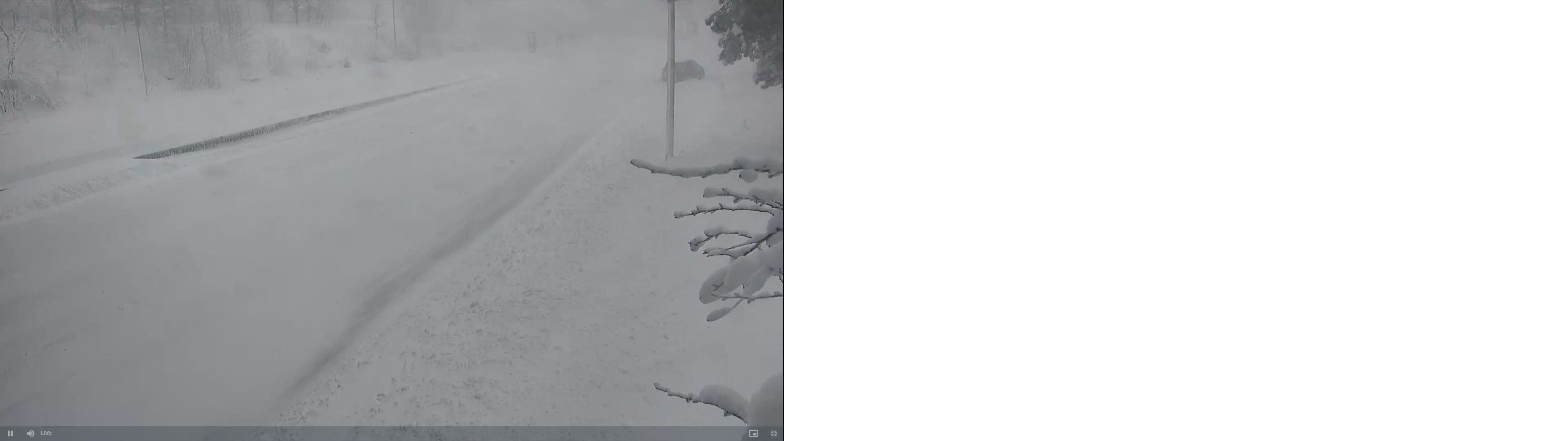
If you choose the Central Ave link, you can watch someone trying to dig their car out of the snow at the bottom of an exit ramp. https://www.dot.ri.gov/travel/cameras_metro.php#
-
"Don’t do it" 2026 Blizzard obs, updates and pictures.
klw replied to Ginx snewx's topic in New England
A couple of the South County ones are quite good- State Line and Exit 14B in particular https://www.dot.ri.gov/travel/cameras_scounty.php# -
"Don’t do it" 2026 Blizzard obs, updates and pictures.
klw replied to Ginx snewx's topic in New England
No need to wait, just watch there traffic cams. Some are snow coated but others are great. https://www.dot.ri.gov/travel/index.php