Greg
-
Posts
2,043 -
Joined
-
Last visited
Content Type
Profiles
Blogs
Forums
American Weather
Media Demo
Store
Gallery
Everything posted by Greg
-
Winds and snowfall potential criteria are more likely to be reached in Eastern Mass vs Western Mass. At least at this time. Final track will be crucial.
-
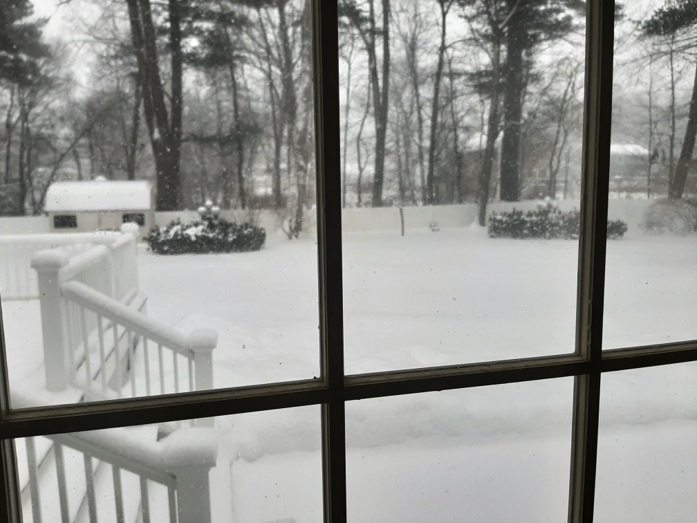
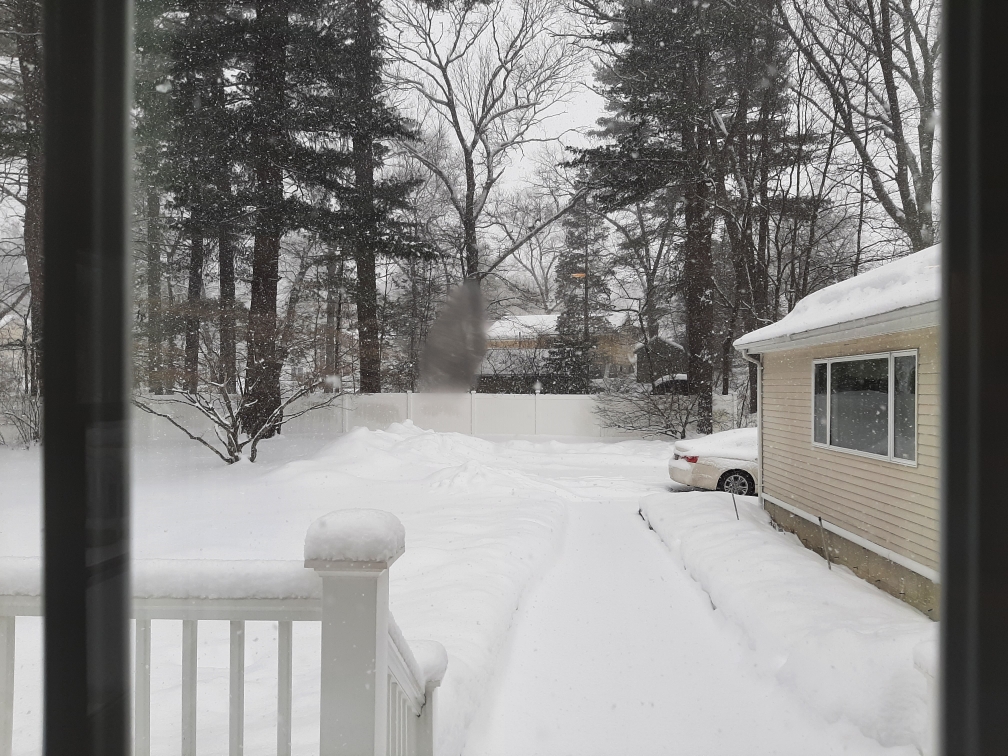
Still snowing light to moderate here. Temp 32-33F Wet snow. I'll go measure in a little while.
-
The temps could hinder max snowfall potential down there. They will get snow/mix and heavy winds but temps in the mid 30's with a bomb making that kind of close pass usually will put the heavier accumulations northwest of the Cape and Islands verbatim.
-
Take my word for it. The more mix down there the heavier snow here.
-
One thing though, that won't be all snow It will start off as rain/mix. Some of that actually will be sleet not pure snow.
-
Never saw a drop of rain or mix here. Just started as snow at 3:10 PM. 34F
-
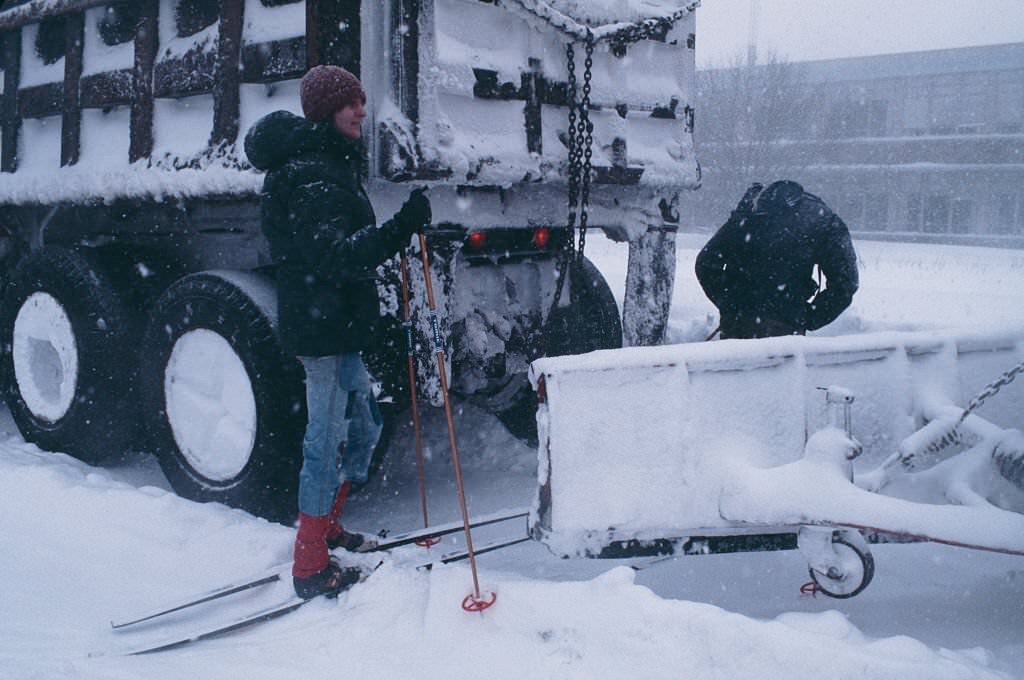
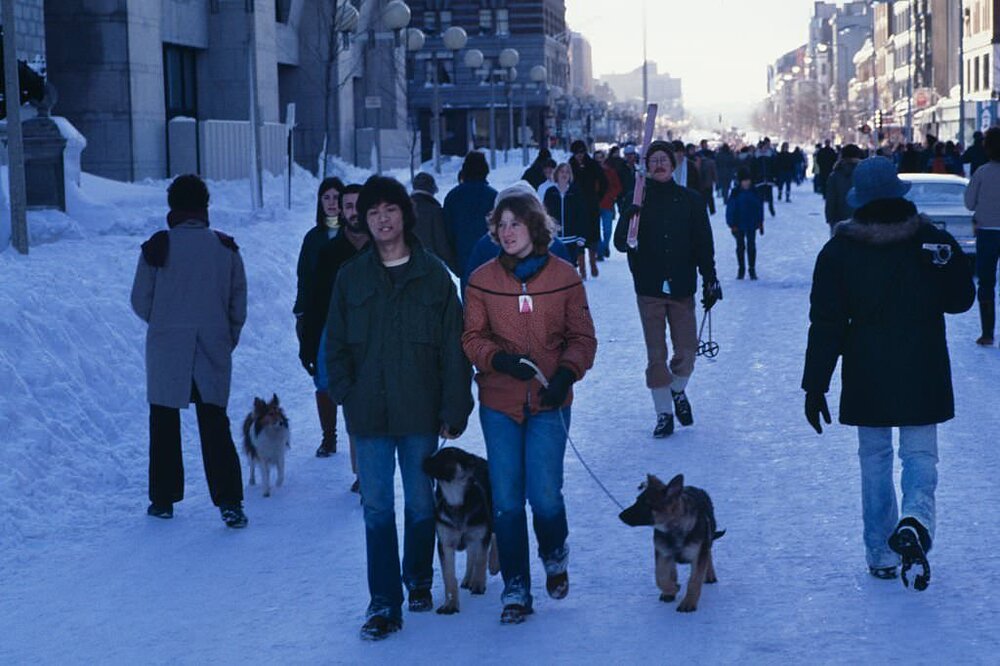
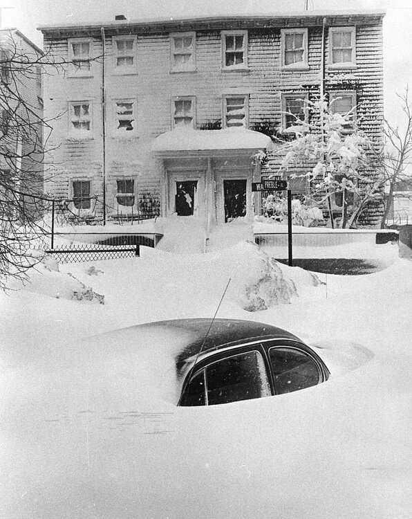
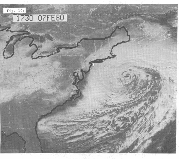
February 6-7, 1978


-

-
Man, winds blow once and a while and the fluffy snow looks like a blizzard as it comes off the roof and blows around on the ground smoothing everything out. Arctic Tundra indeed.
-
Doing well here since this early morning. Winter wonderland out here.
-
It just honestly seems to appear that the Cuban Low continues to steal the show.
-
Well, this may be nothing, but the Euro actually looks decent. But that it is pretty much the only model holding serve right now.
-
We just can't have that many lows fighting for dominance. Only one can be the winner. This is the main problem here with these solutions coming out.
-
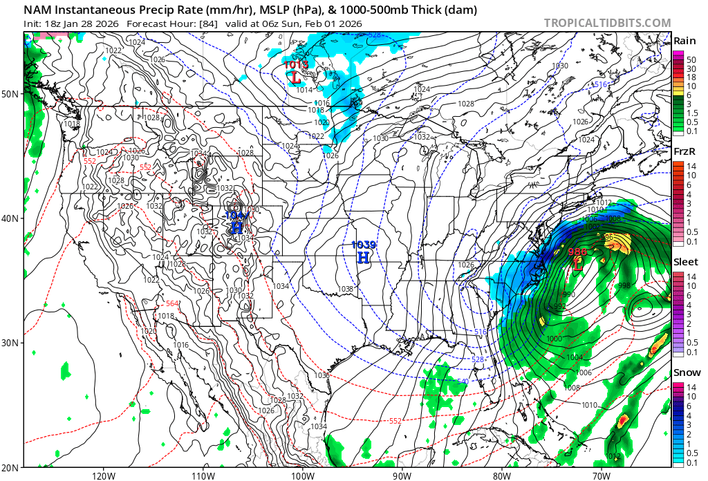
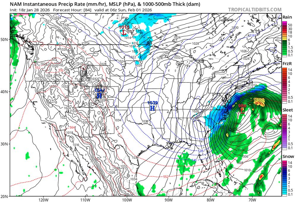
I agree with this. With this particular solution everything looks actually good until just about the 72-hour mark. That's when its development is slower and plays this game with the little spokes of convection. The low then stretches itself out when it should just be bombing out going north. Very strange look. Of course, anything outside of at least 36-48 hours to be on this 84-hour NAM will most definitely have a different look/solution by about 6z (3:00 AM this coming morning)
-
What the Euro solution here just showed was similar to the explanation I stated with the 84-hour NAM. Confluence weakens because the so-called potential kicker is held at bay and the trough access being further west allows this to bomb out and come north. Not to mention that the convection does rob the energy from the primary Low, in fact, in slings it north. This the overall type of signal that people want to see.
-
Hopefully those hold serve or the west trend can continue. I believe also that the outlier GFS will correct itself at that time
-
Have to admit, not sure I buy this 18z GFS solution here. The H5 literally squashed the thing like a pancake. No other models do that so far.
-
Here the NAM doesn't allow the convection to rob the primary storms energy, not to mention the potential party pooper kicker low is held at bay (Slower) more into Canada. Also, the confluence here is weaker now. Therefore, in this type of solution the storm is allowed to come further north while bombing out.
-
It's the signature what one would want to see. Like Will alluded to, need this to dig slightly further west and then things will start to happen.
-
I saw that to moments ago. That's the signature that you want to see.
-
I'm just wondering out loud here if this this will end up being something that looks like this when it blows up and makes its closest pass.
-
Those ratios won't be that high for the Cape I'm pretty sure of that.
-
That was an error
-
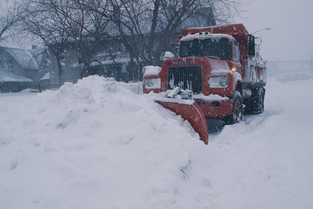
Not entirely true given certain circumstances. People still go out on the roads even in big storms. Did you see how many vehicles were on the road even on Sunday, never mind a workday Monday-Tuesday back in 78.
-
Similar conditions and accumulations took place around the immediate North Shore around the Salem, MA, Rockport/Cape Ann, Beverly, and Danver's area.