

Greg
-
Posts
2,043 -
Joined
-
Last visited
Content Type
Profiles
Blogs
Forums
American Weather
Media Demo
Store
Gallery
Everything posted by Greg
-
Chasing convection.
-
That can actually be somewhat possible with the potential energy with this storm.
-
Wow! I remember that! If that had only backed in a few mere nautical miles northwest. Just oh boy.
-
Nah, I'll take a full-blown Northeaster any day without any mixing. Keep the mixing to the extreme far South shore Cape and Islands
-
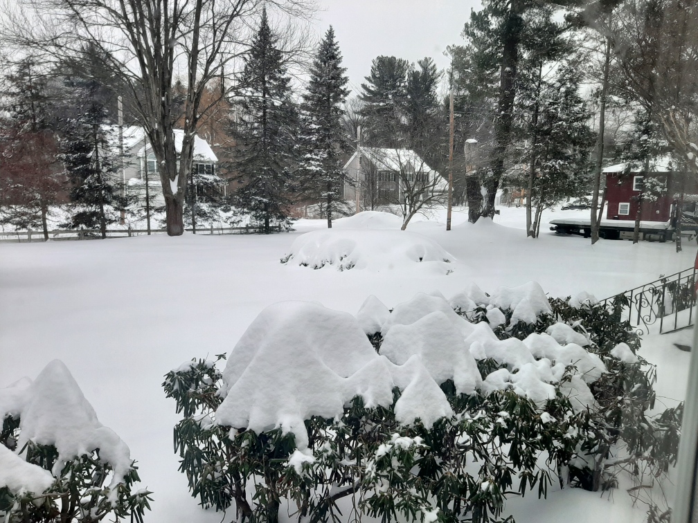
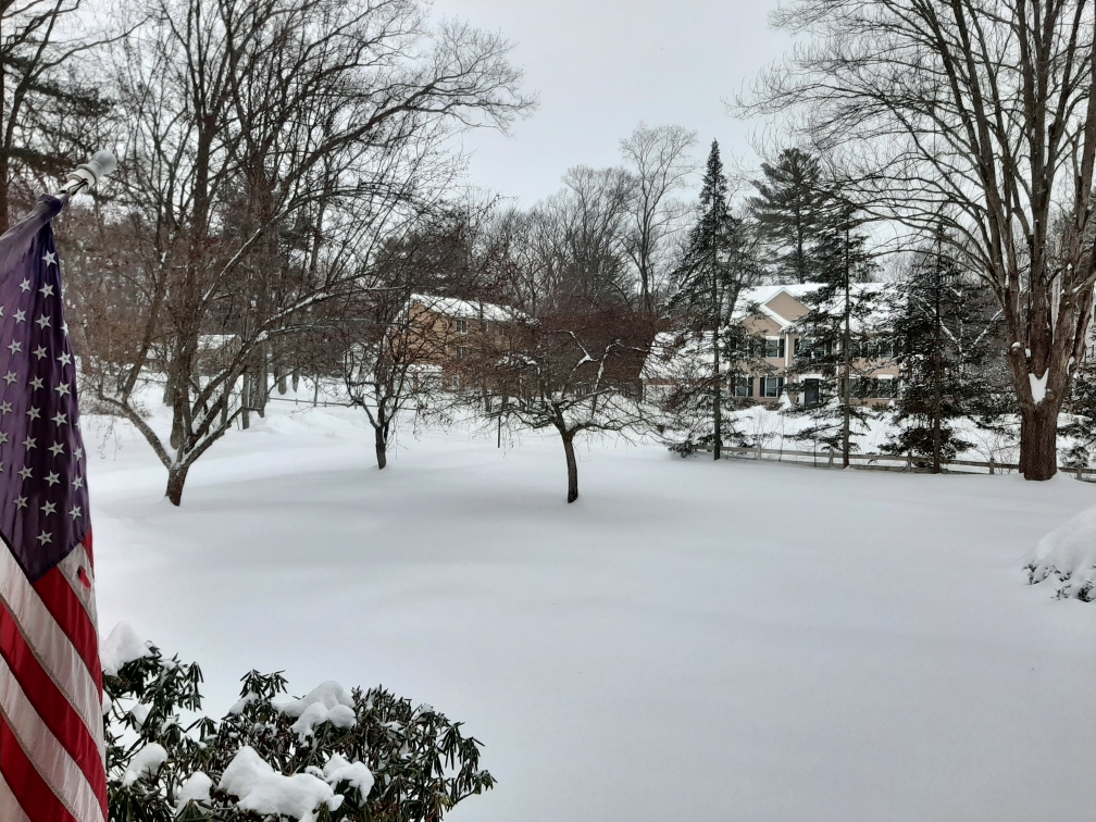
 23" Storm Total.
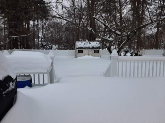

.thumb.jpeg.db0d8ee65add66a239de74bea87e8ff7.jpeg)
-
I'd say about 1 or 2 in the morning for here but that is just me I could be off just a little.
-
Tonight. Also, the RGEM and HRRR.
-
Don't look now but the NAM 32KM and NAM 12KM look good.
-
Hope it comes to true. If it would hold, it would save not just potentially Christmas, but also December in general.
-
I saw that! 32K NAM and 12K NAM coming in further northwest with that shield.
-
I feel ya! I remember when it actually snowed in December, Boston area included. Now for whatever meteorological reason the last several years has been concerning overall. My worry right at this point in time is pretty much close to a patricial shutout of December not the entire winter of course. The reason why I said a partial shutout for Dec. is because we did get a little snow so far for the month, but the rest is looking a little iffy ATT.
-
-
Your answer is more than likely dead on correct. This storm never really got going nor had the dynamics to it. Relatively poor model performance from both the medium and short ranges.
-
First Winter Storm to kickoff 2025-26 Winter season
Greg replied to Baroclinic Zone's topic in New England
I remember that one. My surprise birthday snowstorm. -
551 FXUS61 KBOX 090156 AFDBOX Area Forecast Discussion National Weather Service Boston/Norton MA 856 PM EST Sat Feb 8 2025 .SYNOPSIS... Snow overspreads Southern New England this evening, becoming heavy at times overnight into early Sunday morning, with perhaps some mix of sleet and freezing rain before ending. A widespread 5 to 9 inches is expected regionwide, with a low probability (10-20% chance) of 10- 12 inches possible across northern MA, including the city of Boston. Drying out Sunday afternoon through Tuesday, with a period of below normal temperatures and limited if any snowmelt from tonight`s storm. Our weather pattern then becomes more active again with a coastal low pressure passing to our south Tuesday night into Wednesday, that may bring light snow, then monitoring a stronger storm around late next week.
-
Definitely heavy snow here now. Looks great.
-
Started snowing at 9:35 PM in Wilmington, MA and already the driveway is coated. We'll see what the final results have in store for us here.
-
Feb 9: Iggles flying, weenies high-fivin’: the kickoff to a great stretch
Greg replied to mahk_webstah's topic in New England
It's delayed. Taint will still work in. -
Feb 9: Iggles flying, weenies high-fivin’: the kickoff to a great stretch
Greg replied to mahk_webstah's topic in New England
Not wrong just delayed with the taint. -
Feb 9: Iggles flying, weenies high-fivin’: the kickoff to a great stretch
Greg replied to mahk_webstah's topic in New England
Actually, for some this could be one of the biggest of the season. that's not too good if one misses out. -
Feb 9: Iggles flying, weenies high-fivin’: the kickoff to a great stretch
Greg replied to mahk_webstah's topic in New England
Actually, relatively higher. -
Feb 9: Iggles flying, weenies high-fivin’: the kickoff to a great stretch
Greg replied to mahk_webstah's topic in New England
Actually, the highest quantity is a little southeast of that. -
Feb 9: Iggles flying, weenies high-fivin’: the kickoff to a great stretch
Greg replied to mahk_webstah's topic in New England
I just posted those. -
Feb 9: Iggles flying, weenies high-fivin’: the kickoff to a great stretch
Greg replied to mahk_webstah's topic in New England
.jpeg.51ed7329f952e879cd69e1dcd2244b0c.jpeg)


