AMZ8990
-
Posts
1,270 -
Joined
-
Last visited
Content Type
Profiles
Blogs
Forums
American Weather
Media Demo
Store
Gallery
Everything posted by AMZ8990
-
Great find Holston, that’s awesome! Still heavy sleet with some snow mixed in here.
-
Man it is coming down hard!!! Tried to walk my dogs and it was all I could do to get to the end of the driveway and back. It’s ripping snow/sleet
-
Heavy sleet/Snow falling in bolivar now. Visibility down to about 1/4 of a mile.
-
Yeah they are gonna have a tough time clearing roads up there with how little they have in the way of snow plows etc, not to mention the 1500 or so miles of roads they have to worry about around the city
-
Real time Conditions and observations from around the Midsouth, Middle Tn, and North Ms, as this potentially historic system moves into the forum. 14 and light snow in bolivar right now. Gusty winds at times as well(10-15). Good luck to everyone today and stay safe!
-
Looks like East Arkansas (Little Rock east to Tennessee border is getting hammered pretty good right now. Sitting at 14 in bolivar.
-
Light snow falling in Hardeman county atm, we probably picked up 1/2 inch of snow/sleet last night: looks like things should start ramping up around 9am
-
Still light sleet in bolivar as well, sitting at 18 degrees.
-
Currently under a band of sleet/snow mix in hardeman county. Should be some slight accumulations with this batch as it moves east towards Nashville.
-
Wow, that’s pretty intense. Hope the lights can come back on soon for all those affected. I’m amazed the whole tree hasn’t come down yet.
-
 This is a great breakdown Carver!!! I appreciate you going into detail on this stuff.
 -
Currently sitting at 16 here in bolivar
-
Those rates around 18z could be HUGE for whoever they get on top of in West Tennessee. By this map my house would be close to it or right under those heaviest returns at 18z.
-
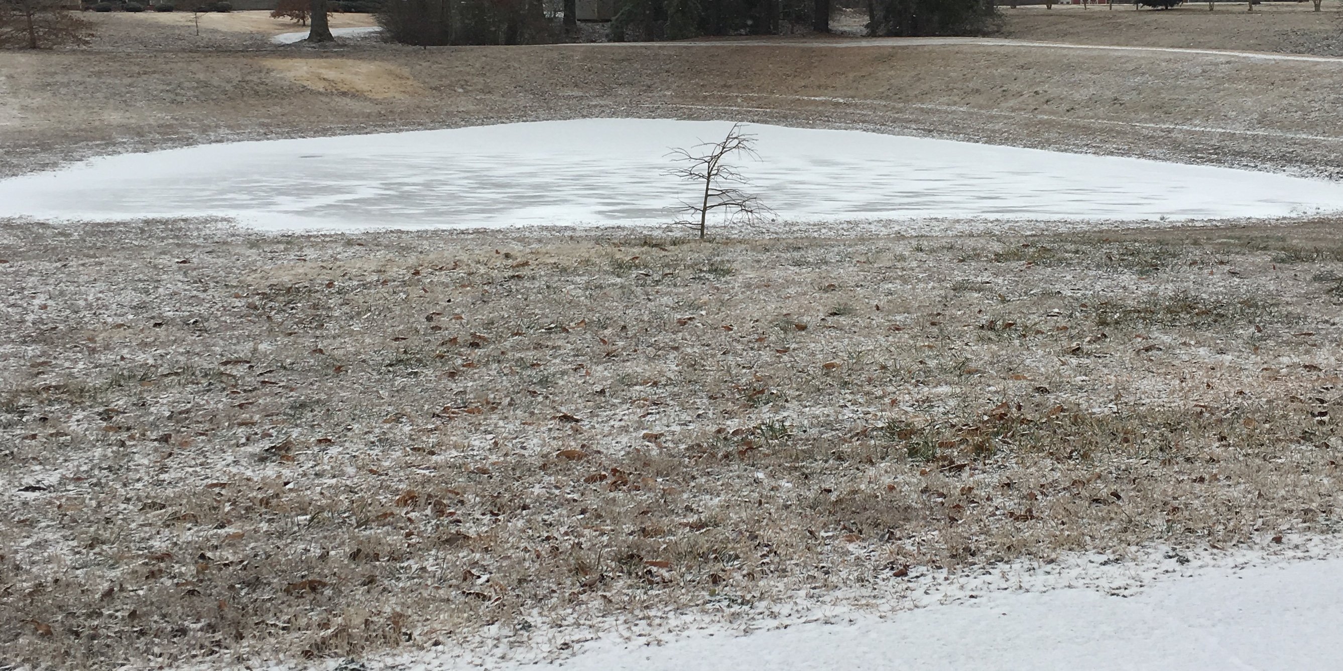
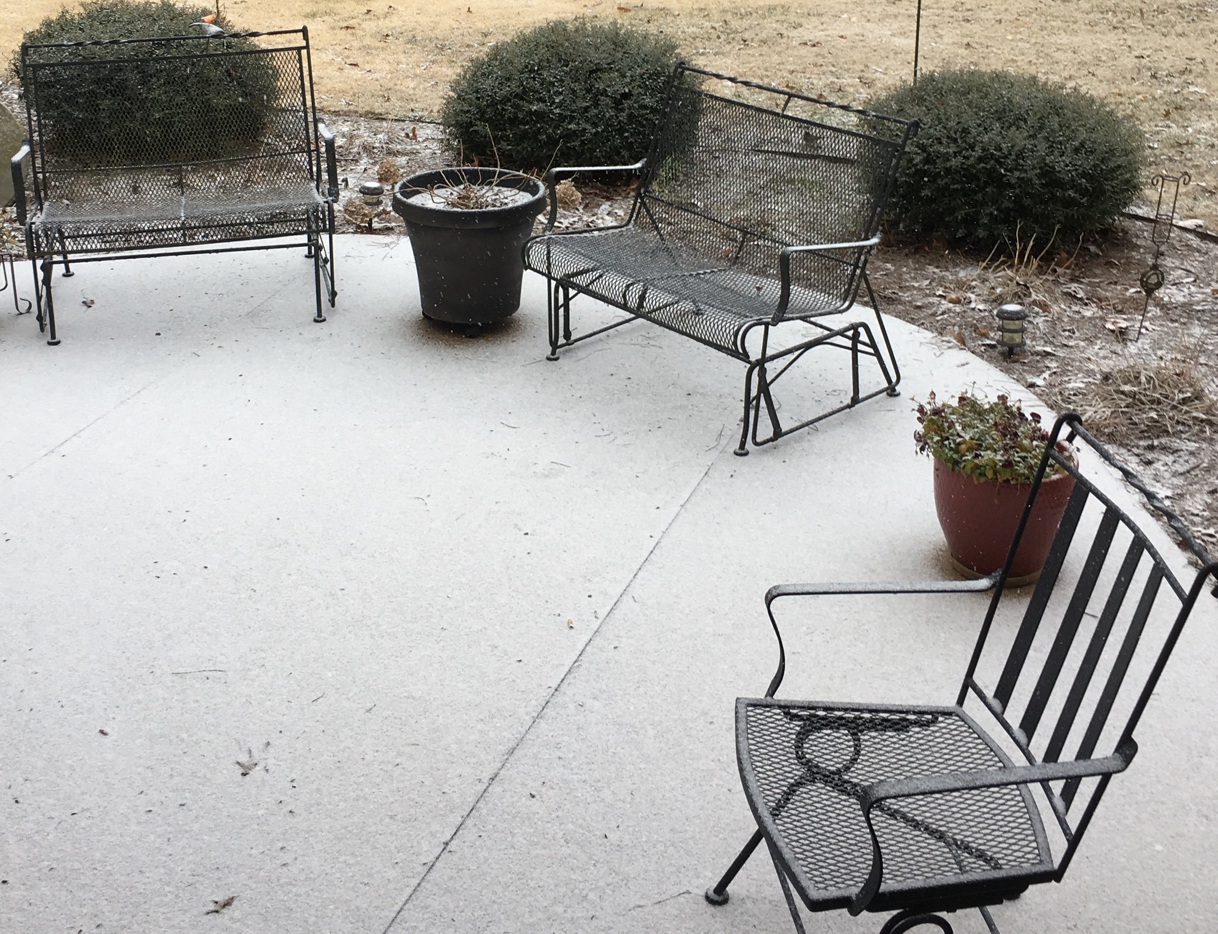
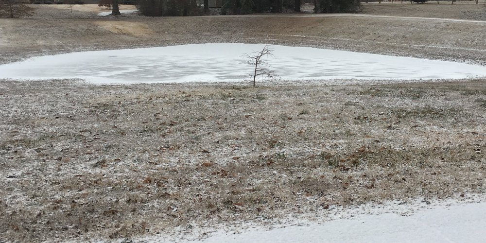
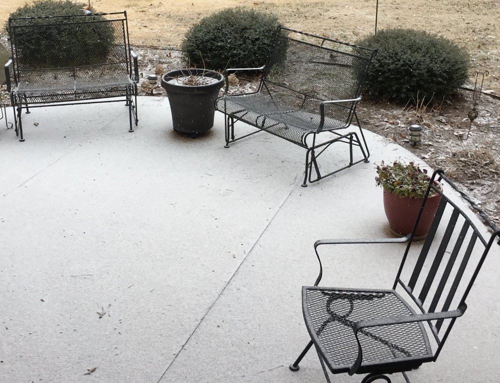
Same here. Ground has a light glaze of snow on it and all the roads and walkways are white as well. This is my front yard and what’s left of my pond, (it doesn’t hold water well so it’s a pond about 3-4 months out of the year. Bottom corner of the picture is the road so you can see how well the snow is sticking to the roads
-
Me too brotha. It’s great to see you posting, I actually thought about you last night and wondered where/how you’d been. Hope you and the family are doing well!
-
-
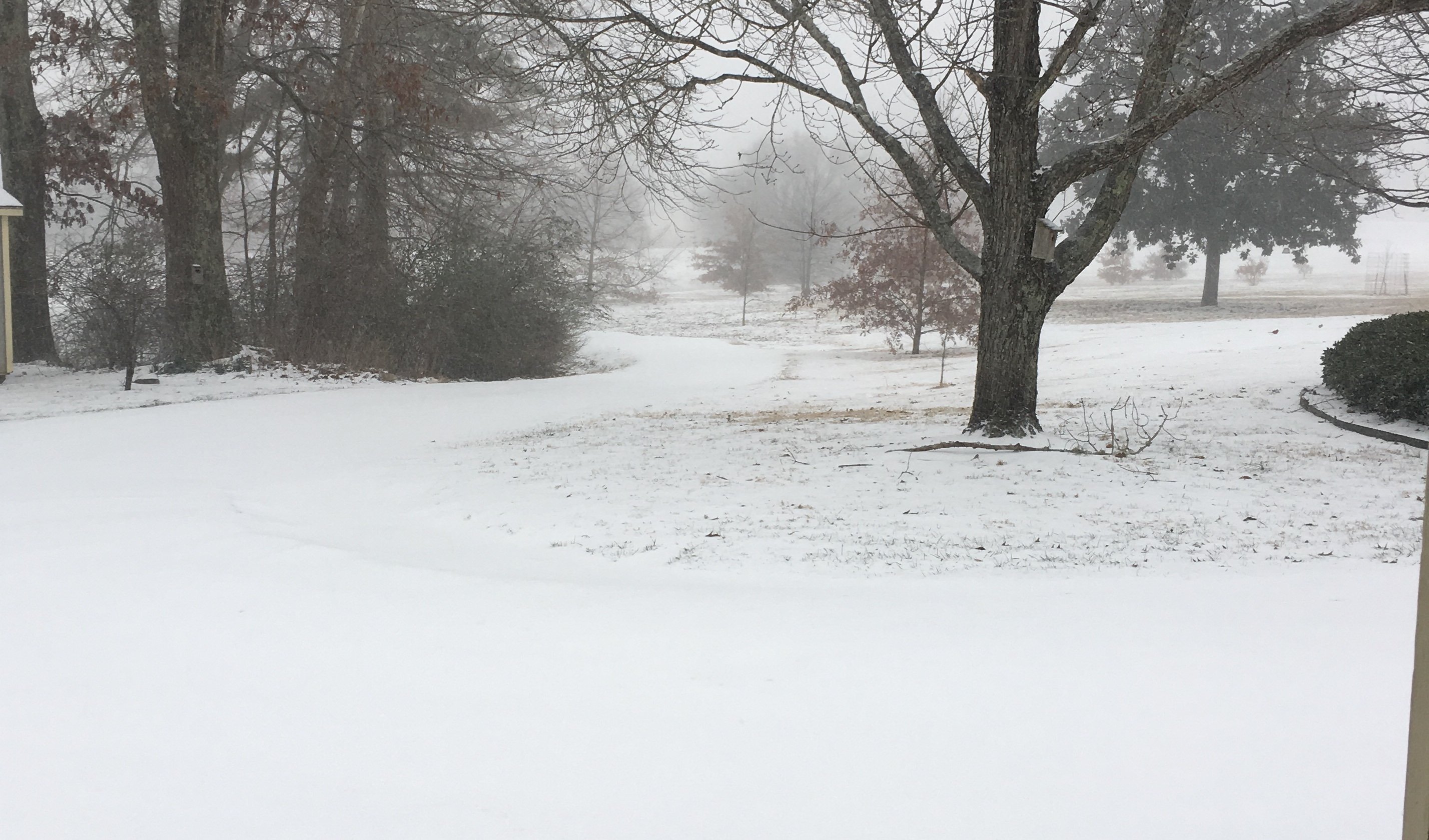
Light snow is now falling at my house this morning. Concrete walkway, driveway, grill and all that good stuff is all white now. Starting to see minor accumulation in the grass as well. It’s a beautiful morning!
-
Looks like most of the west Tn has been upgraded to a Winter Storm Warning now. Pretty long warning timeframe too, 12pm Sunday to 12AM Tuesday morning.
-
@WestTennWX can you add the dates of this storm into the thread name please. 2/14-2/16 etc
-
Goodness Gracious!! Hahaha. Getting anywhere on I-40 would be a disaster
-
Interesting. It’s pretty cool how we can dive into the details for 100+ years of winter weather thanks to all the historical weather data we have.
-
If they got 17 inches that would be good for the 8 snowiest season of all time in Memphis since 1894. If they got over 17.5 they’d be good for 7th all time, passing 1904-1905 -17.5 inches 25.1 inches is the all time record in Memphis, it happened in the 1917-1918 winter season. Jonesboro, Arkansas broke their record in 1917-18 with 37.1 inches as well, Little Rock, Arkansas did the same that year with 26 inches exactly. Jackson, Tn all time snowiest season occurred in 1984-85 with 24.7”. 10th place on their all time list is 9.5 so It’s possible they could break into the top 10 with these systems as well.
-
I was trying to think when the last 5-6+ event was for Memphis and the surrounding areas. I feel like it’s been atleast 21 years cause I don’t ever remember a storm that big in my time living here. Not sure what happened In the 90’s but I’m pretty sure 1985 had a 10+ event in Memphis that year. I know northwest Tn has had some big events in the past 10-20 years though, especially the TN/Kentucky border counties.
-
Yeah it was, 9inch range on top of my house that run. Pretty wide swath of 8-9 in Fayette and Hardeman counties with the 8 inch line on the Fayette/Shelby county border. Overall, that’s probably the best run of the Euro we could ever ask for at this stage for the mid south and west Tn.