AMZ8990
-
Posts
1,270 -
Joined
-
Last visited
Content Type
Profiles
Blogs
Forums
American Weather
Media Demo
Store
Gallery
Everything posted by AMZ8990
-
Bummer. Hope you can get out soon! Roads are bad down here as well with the exception of the major highways.
-
It’s picked up in intensity over my house since my first message. Coming down pretty good now, if it holds together you all in the mid state should have some good returns come through soon.
-
Hope those without power get it restored soon. Sending prayers y’alls way.
-
Light snow falling in bolivar at the moment.
-
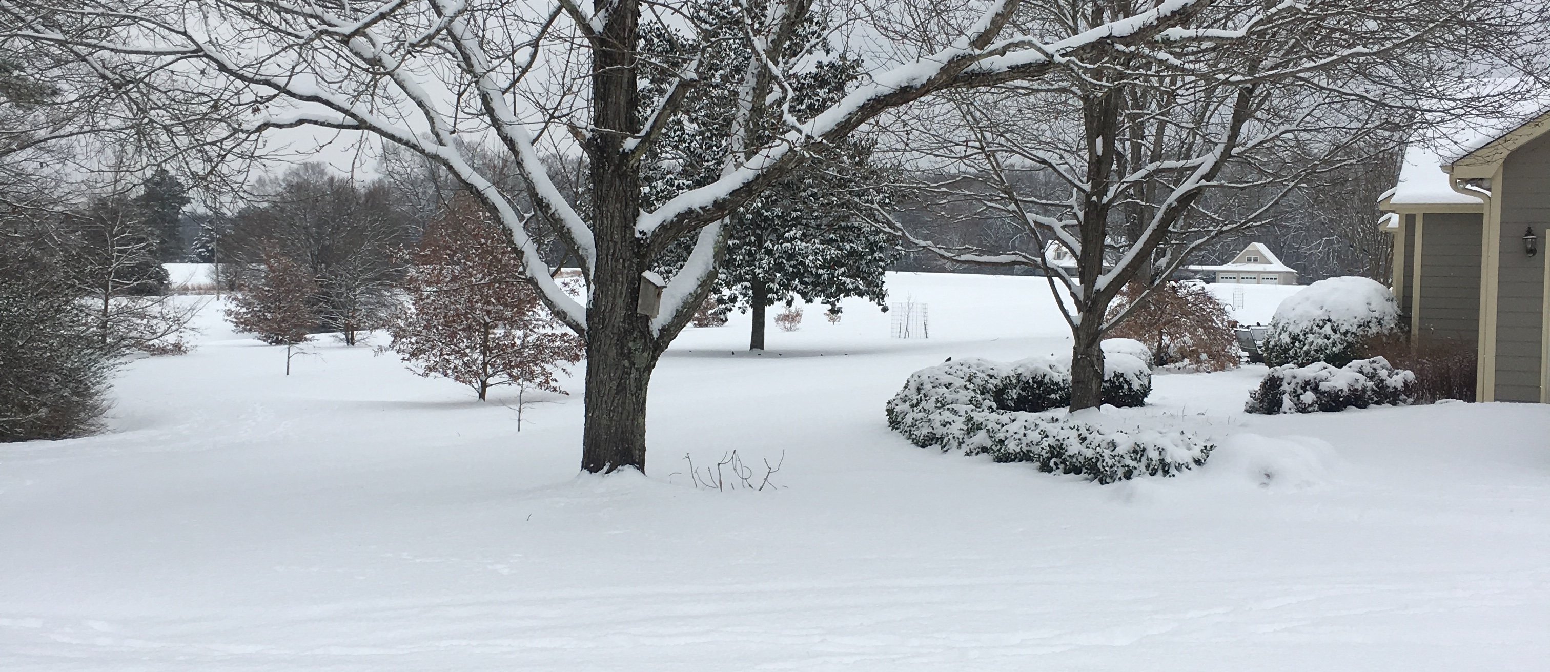
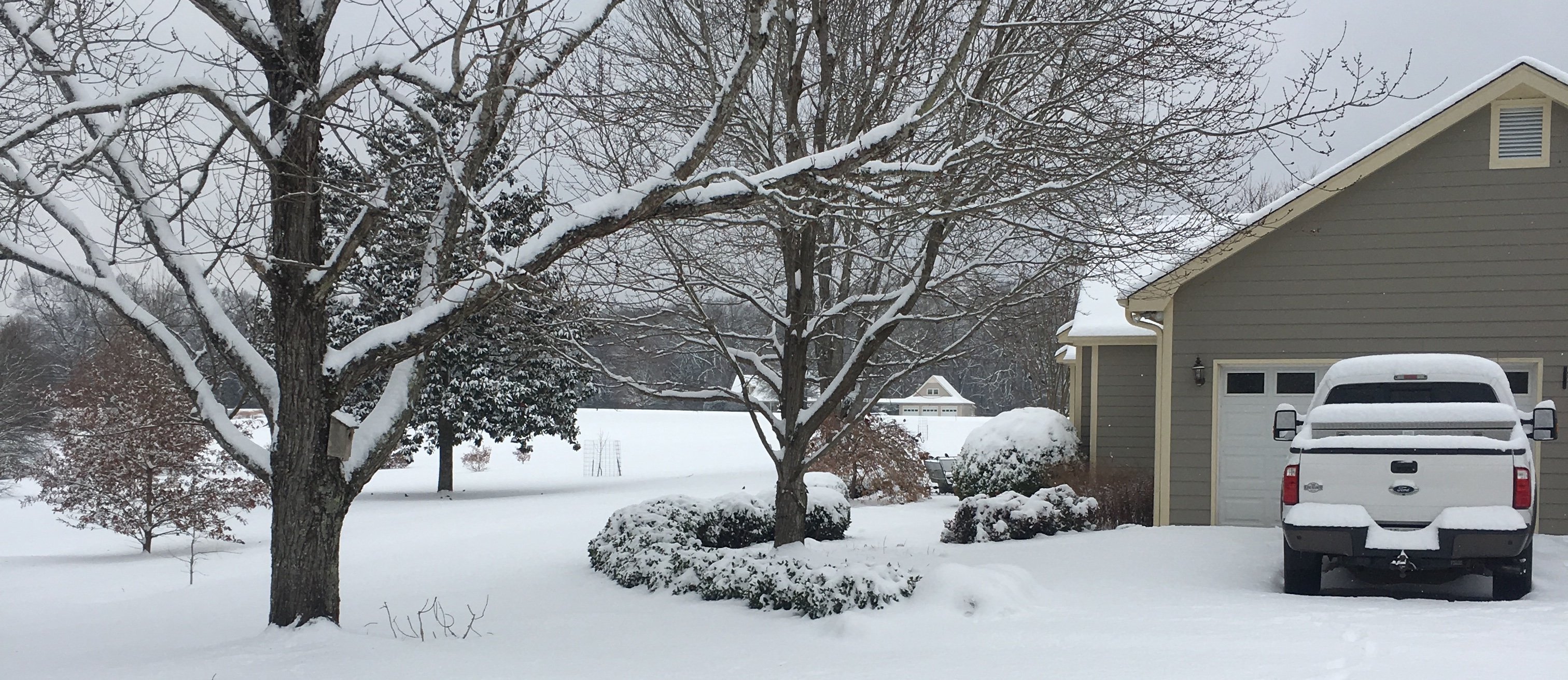
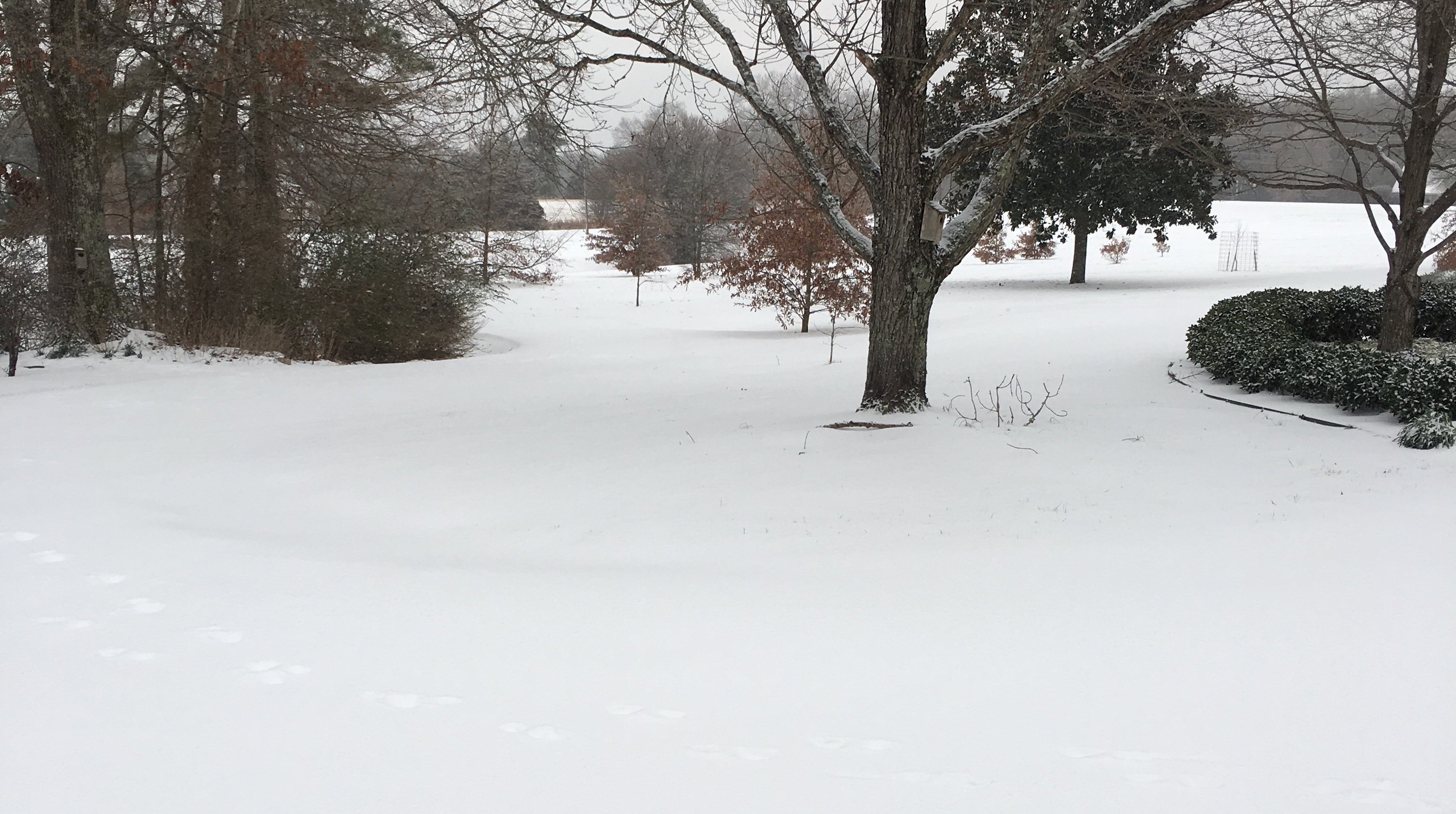
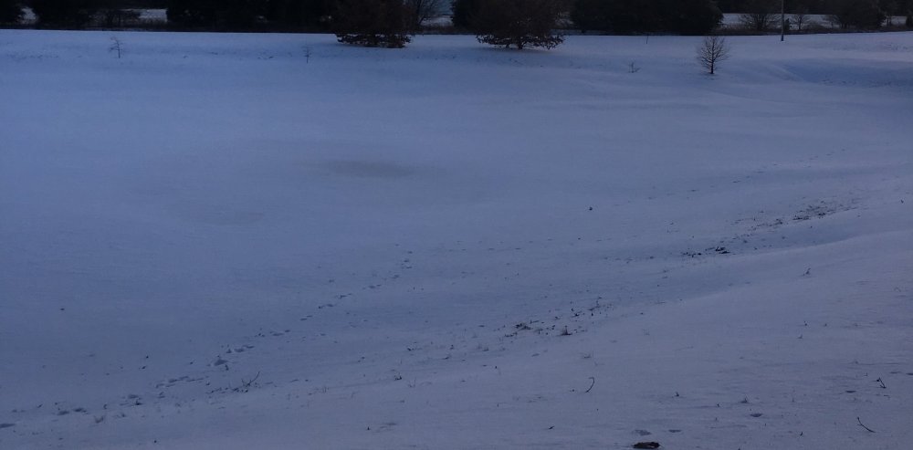
The storm yesterday was the big winner for us in west Tn, Monday’s system dropped mainly sleet on us, 1.5-2” of sleet with maybe a 1/2-1” of actual snow. We were able to pick up 4-5’ all snow from last nights event. So that was a blessing for us snow lovers. I’ll post some pics in a little while
-
1.0” from 5:30-6:30PM in MBY.
-
3/4” from 4:30-5:30PM in MBY. I’ll be back in with another update at 6:30.
-
Here in bolivar we Picked up 1/4” all snow in the first hourly measurement attempt, (I was late so the first one was actually 1hr20min lol). Should have my 2nd measurement around 5:30PM: Moderate snow falling currently with quarter sized flakes starting to mix into the dime sized flakes that have been already falling.
-
Moderate snowfall with decent size flakes falling here just west of bolivar, we’re about 60 miles east/northeast of Memphis.
-
Light snow/sleet starting to fall at my house just west of bolivar. We’re at 25 right now.
-
Sitting at 19 right now in bolivar. Cloud cover starting to increase
-
Yes.Yesterday they were predicting around 2-5pm is when the snow would start. Now they have it starting around 10-11AM.
-
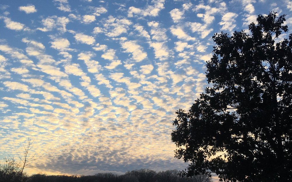
Pretty cool clouds coming in at dusk tonight. Figured I would share
- 766 replies
-
- 11
-

-

-
-
If I didn’t know any better I’d have guessed you had a small tornado, or a straight line wind event happen. Crazy to think that’s from freezing fog!
-
Winter storm watches up for west TN And North MS. Winter storm warnings from Jonesboro, ARK going east for the rest of the state of Arkansas, at this time.
-
Flurries at times in west Tn today too. Sun was out all morning and now some light cloud cover has set in.
-
Me too, got about 1.5-2” of sleet as the bottom later with some snow on top. Roads are gonna be a mess from the sleet layer for a few days. It’s so cold when you walk around on it the sleet layer doesn’t give in at all
-
You guys did are doing pretty good then! It’s been mainly sleet down my way.
-
It’s most definitely gonna bust low here
-
So is the upper-level divergence happening around southern Illinois, northwestern Kentucky at this point?
-
Awesome! Im still in the heavy sleet with some snow mixed in just west of bolivar. Hoping it changes over to all snow soon here.