

Chicago Storm
-
Posts
19,233 -
Joined
-
Last visited
Content Type
Profiles
Blogs
Forums
American Weather
Media Demo
Store
Gallery
Everything posted by Chicago Storm
-
0.61" of rain here since July 30th. 0.89" at ORD during that same period.
-
rollin' alek style is much easier though. since you have a gun to my back though... Whichever of the two potential scenarios for today ended up occurring, ENH wasn't gonna pan out around here. Scenario 1 was the overnight/morning MCS cleared out much earlier, allowing for development along the front, with a favored narrow corridor for decent severe in SE MN/SW WI/E IA/NW IL. Scenario 2 is what we are in now, where the morning MCS sustained long enough, with widespread debris and an altered environment across a large area ahead of the front. Either way ENH into the LOT CWA was comical and way too bullish, with it all along looking like a marginal worthy threat around here...and for much of the region as well.
-
Still doesn’t look good. SPC looking to add to their list of failure. .
-
Fairly large difference...
-
Have been getting a lot of yellowing leaves and leaf drop from trees the past week or so, likely due to the dry and hot conditions combo. Lawn is browned out too. (insert aleks lol @ lawns)
-
Those of us that got nada will disagree. .
-
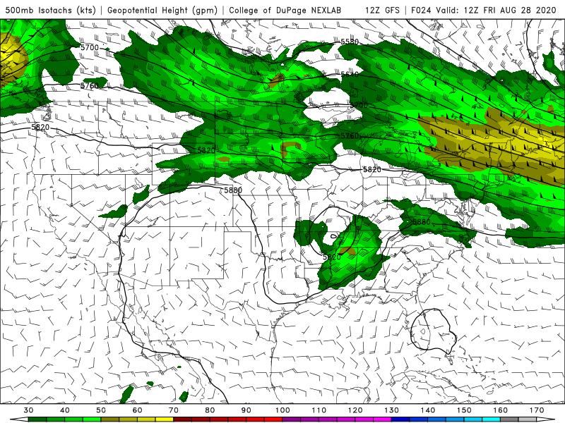
Tomorrow is definitely not enhanced risk worthy as it looks. .
-
Where did you find that info? .
-
Euro weeklies are a very torchy for Sept. .
-
you’re just as bad. .
-
40 90°+ days incoming for ORD. .
-
You lucked out or missed out, depending on your line of thinking. .
-
But we want it nowwwww. .
-
This map is actually a good illustration of how the derecho quickly changed character rapidly as it pushed into the LOT CWA. It went from vortex dominant across DSM/DVN CWA’s, to MV dominant fairly quickly into the LOT CWA. My best guess on why this happened is...For one, the derecho had entered a post-mature stage...Second, the main vortex that moved from north of DSM-Marshalltown-CID eventually weakened as it encountered a disturbed environment from the RFD supercell. At this time it became more MV dominated. .
-
Hawkeye and surrounding folks of Cedar Rapids better have some damn good pictures/video to share when they get power back in another week or two. The more I hear about how things went there and see pictures/video from there, the more I want. .
-
This might be the dumbest post in this threat in a while. .
-
.
-
MV’s were not as predominant until the character of the derecho changed as it existed the DVN CWA, so I’m not sure there would have been many. .
-
.
-
Every time I post, they add another. .
-
.
-
.
-
.
-
ComEd did a broad brush estimation time of Saturday for everyone. Gotta think it’ll likely be longer for the harder hit areas. .
-
.


