the ghost of leroy
-
Posts
3,745 -
Joined
-
Last visited
Content Type
Profiles
Blogs
Forums
American Weather
Media Demo
Store
Gallery
Everything posted by the ghost of leroy
-
Did the Russians also take down ampol?
-
CASH GRAB LOL
-
What is 3 then if not Maria?
-
You saying maybe top 3 instead of being definitive makes me think Odile must have been nuts. At least that’s what I’m assuming must be the storm in question.
-
 something tells me this is going to be presented in a way that is sensationalized...
- 46 replies
-
- 1
-

-
- historical tropical cyclones
- hurricanes
- (and 3 more)
-
My grandparents lived in Bay St Louis at the time. They evacuated at first towards my aunt in Tampa, then the hurricane turned so they went home, then it turned back and they said screw it and rode it out. I remember thumbing through an album that had their hurricane party pics in it. Total rager. That eye video is still amongst the best ever. Another thing I remember is this photo, which is one of the iconic hurricane pics of the 80's. I used to have a book with it on the cover.
- 46 replies
-
- 1
-
-
- historical tropical cyclones
- hurricanes
- (and 3 more)
-
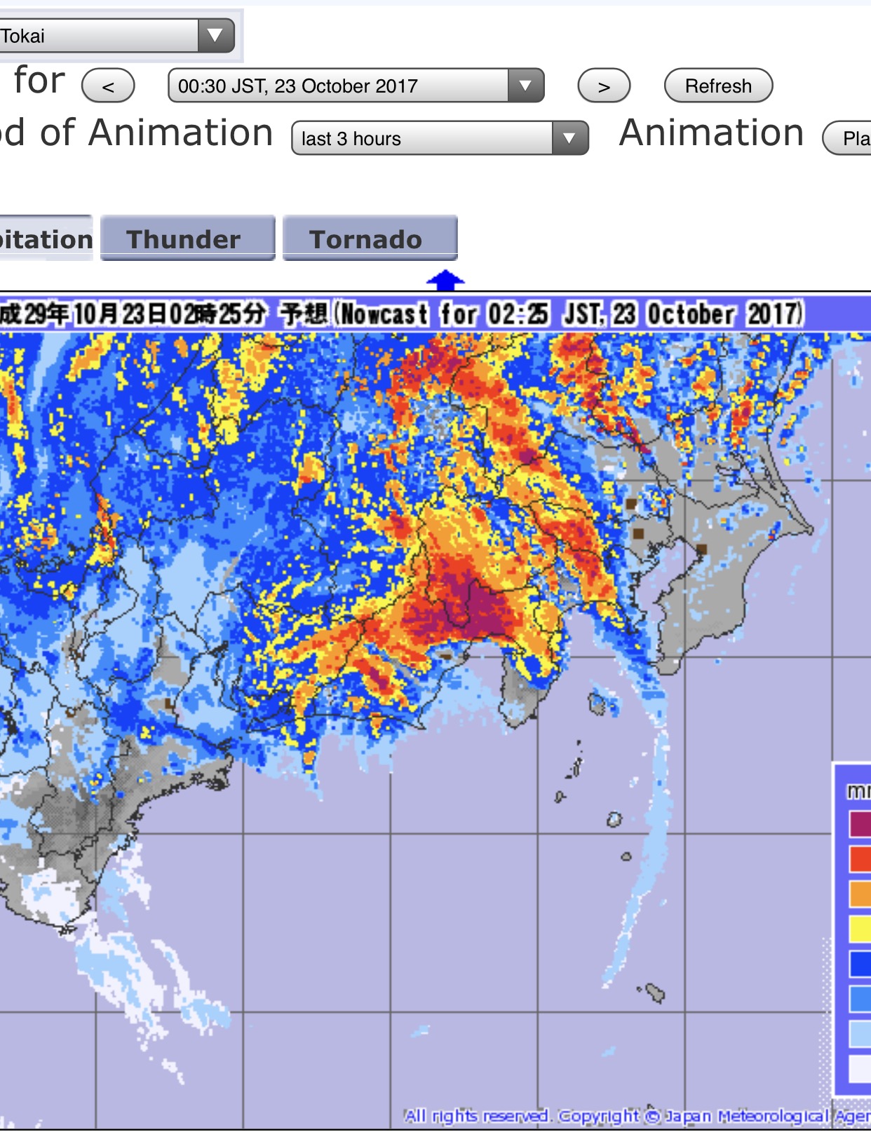
I looked around on the JMA site all afternoon and found a few places that had max winds around 30 m/s, which is about 70mph. Most of the places had hours of 20-25 m/s winds so it was a prolonged gale for sure. I doubt the highest winds were sampled but I bet this was a cat 1 at landfall. Himiwari 9 loop of landfall... http://col.st/ebQlF
-
Another halfacane for icyclone

-
Lol 115kts. Seriously.
-
people can read the posts and decide themselves about the hype. it's all love, man. i like your posts. but i am just staking out a strong position. the storm is increasingly looking like crap, the JTWC forecast is loltastic, and japan can handle it.
-
everyone knows i am ridiculous. that's irrelevant, though. i am also usually right. 3 hours ago you said this: The center may be slightly tilted as well. Southerly flow is screaming. This is still an intense typhoon though. I am a bit worried this won't weaken more than 15-20 kts prior to landfall ue to rapid forward motion. this will definitely be wrong. by a bunch.
-
I just do not see what your point is here. Who has made a call this will landfall as a Super Typhoon? Look at the forecast. It's still serious for Japan. japan is going to be just fine. they have great building codes...and look at the satellite, dude...its pooping out.
-
tbh i think you have, mildly.
-
Good thing that's not how we alert the public. You don't downplay a 135kt cyclone. Yes, the core may degrade to absolute crap landfall. You want to base your advisory on that call. Have you ever been in a Cat 2/3 storm? This will be destructive. Hopefully it will weaken an that destruction will be mitigated. you can totally downplay a 135kt storm that is in the middle of the ocean. what matters is what it is when it hits something. and when it hits something it's going to be pretty run of the mill....maybe even garden variety (shout out to my hurricane nate weenies). i'll be fine with eating a fat plate of crow if it turns out to be a disaster.
-
just passionate about not overhyping
-
let's just leave it be for now and we can see how it plays out. i am still on team "blustery day with lots of twitter videos of waves".
-
Perhaps in 8-10 hrs, but the perspective that it's falling apart based on current satellite presentation isn't good sound meteorology. We all knew the system was going to weaken based on the environement. But Lan isn't exactly hot garbage. lan is definitely hot garbage and has been for its entire existence. the WPAC is the land of gods. show some respect to real legendary typhoons. let this one go. 135kt max and extratropical turning crap into japan is zzzzz
-
you've got way too much faith in this system. just throw on the loop. this is going to look terrible in 8-10 hours.
-
The center may be slightly tilted as well. Southerly flow is screaming. This is still an intense typhoon though. I am a bit worried this won't weaken more than 15-20 kts prior to landfall ue to rapid forward motion. i don't know, man...it's really going downhill the last few frames
-
this is a classic case of the euro's tendency to overdeepen storms in the WPAC at that latitude. it did the same thing with NORU earlier this season and LIONROCK last year. it's late october, nothing that strong and that tropical is hitting that far N into japan.
-
sorry, but bleh. there is nothing interesting about a future blown out typhoon. gimme something hot that is heading due west.
-
climo is way too cloudy for that area at that time of year. you could get lucky but statistically speaking the choice isn't optimal.
-
felix is the best example for sure. for those that don't remember, look at the TCHP off the landfall zone in nicaragua prior to the storm...
- 46 replies
-
- 1
-
-
- historical tropical cyclones
- hurricanes
- (and 3 more)
-
Good post. I agree that speed was perhaps the biggest detriment. It maybe could have gotten to 100kts or so had it just been moving at a more routine pace.