

Normandy
-
Posts
761 -
Joined
-
Last visited
Content Type
Profiles
Blogs
Forums
American Weather
Media Demo
Store
Gallery
Everything posted by Normandy
-
GFS is slowly coming to the party. Ian is also starting to crank a little with a nice curved band structure evident.
-
^That's a good thread right there thanks for sharing. Perhaps the multiple vorticies yesterday brought the dry air in?
-
I was definitely on the RI train last night...fooled me for sure. That being said, looking at it now the low level center seems very defined (which it wasn't yesterday despite good convection).
-
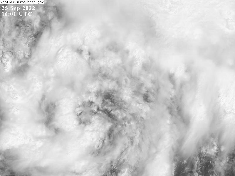
This might be the formative stages of the CDO. Big convection going up.
-
^ Cosign. If the upper level winds are strong enough to shear a strong hurricane, why wouldn't they be strong enough to turn it NE? I could understand the solution if the storm was a middling TS (maybe it could get decoupled).....it just doesn't make sense in this scenario with a major hurricane coming out of the WCAR. Would like a mets input, maybe I am out to lunch.
-
I'm still thinking SW / SE FL (Maybe near or just south of Tampa). Usually when a strong trough and strong hurricane get this close to one another the hurricane turns NE. That coupled with the N center consolidation, not seeing the west solutions panning out. That's the beauty of the tropics though, we simply have to wait and see.
-
The GFS solution of reformation is definitely off the table now. Strong burst near the LLC with obvious strong NW and N inflow into the convection. The MLC is dying off with nothing but westerlies beneath.
-
This likely will give good insight into what the 1938 hurricane looked like.
-
You can see right now on satellite what the GFS is trying to do. There is an MLC further SW that is very apparent, however the current LLC ain't going away. Brand new convection already firing near it.
-
The ICON is downright terrifying. East across the FL peninsula with a stall over the Atlantic just east of Florida. Then meanders north into the Carolinas (and eventually up the east coast). Does all this while staying a major hurricane. Wild times ahead.
-
Has to be one of the most gigantic wind fields in recent memory. Putting 99 MPH gusts on Bermuda while passing 50 miles north is wild.
-
East Coast crusher. Gonna be a lot of sleepless nights coming up.
-
All we can do is wait for the Euro. God bless the NHC and their forecasters.
-
Moving very slowly across FL with a big ridge over head. Might come back west.
-
GFS caving big time
-
Easily a TD. NHC might as well start advisories.
-
Storm is already starting to cook just N of the ABC islands.
-
Until the GFS stops this center relocation it can't be considered as a viable solution. What I'm seeing on satellite indicates a sheared but very strong low level cyclonic vorticity signature just ENE of the ABC islands. This will likely tighten overnight as it passes north of the ABC islands, and by tomorrow we should have TCG with a sheared but potent LLC. This likely stays sheared until passing Hispanola, but in no way is it randomly reforming south and west because its being sheared. We just saw this with Fiona. It was badly sheared with a very vigorous and closed LLC as it headed west. the MLC trailed behind until the shear let up, and then the LLC instantly took over and it exploded (LLC did not REFORM east). For 98L, it will be the same exact process. All aboard the Euro train!
-
Spurious vorticity development at hour 48 is the only reason this is not swept NE across SE FL on the GFS. It jumps W and S randomly. Not buying it.
-
Lets see what the GFS says. I am predicting a massive cave to the Euro with landfall on the FL peninsula.
-
Another thing to consider, the vorticity is consolidating just east of the ABC islands....which is west of the Euro's consolidation. In short: SE and SW FL looking like they are in trouble. I'm fairly confident that GFS solutions won't verify now.
-
I believe the Euro here is showing the easternmost outcome for this system. More than likely this runs up the coast and comes in a bit further west. Angle of approach is going to be important.
-
Looking at the morning model suites, I am starting to believe more in an eastern solution where the cyclone recurves across the FL peninsula. The GFS is spuriously developing vortices that keep this unorganized until the NW Caribbean. Morning visible images and ASCAT confirm a tight closed circulation, and I see no reason this doesn't stay consolidated. This spurious vorticity causes it to get much further west than it would if it were an organized cyclone. I also think the GFS is underselling the interaction between the first trough and the cyclone. A trough that strong isn't going to just tug this north and leave it, especially if the storm is already a hurricane upon interaction with the trough.
-
GFS is insisting the first trough has little effect on our cyclone. Not sure I buy it, buts lets see how it plays out
-
Synoptically it makes sense. The trough is very transient and fast moving and the storm is very far south. Additionally there is a monster ridge building in behind the first trough.


