

Eskimo Joe
-
Posts
24,560 -
Joined
-
Last visited
Content Type
Profiles
Blogs
Forums
American Weather
Media Demo
Store
Gallery
Everything posted by Eskimo Joe
-

Late January and February Medium/Long Range Discussion
Eskimo Joe replied to WinterWxLuvr's topic in Mid Atlantic
/mid atlantic- 4,130 replies
-
- 6
-

-
- prime climo
- cold canada
- (and 1 more)
-
Jan 21 - 22 Weekend SE VA and Eastern Shore Snow
Eskimo Joe replied to stormtracker's topic in Mid Atlantic
Where is @mappywhen we need her? So many bad maps. -
Damn shame we don't have a few inches of snow pack. A lot of places would've gotten to single digits. Still impressive how cold it's gotten.
-
Jan 21 - 22 Weekend SE VA and Eastern Shore Snow
Eskimo Joe replied to stormtracker's topic in Mid Atlantic
All geographers now are in counseling based off this map. -
Indeed
-
Jan 21 - 22 Weekend SE VA and Eastern Shore Snow
Eskimo Joe replied to stormtracker's topic in Mid Atlantic
Would be nice to see this thing tick back NW another 75 - 100 miles and give the low landers some snow. They always rain when us jackpot folks win out. They deserve some flakage as well. -
Thursday 1/20/22 Stat Padder Discussion and Observations
Eskimo Joe replied to stormtracker's topic in Mid Atlantic
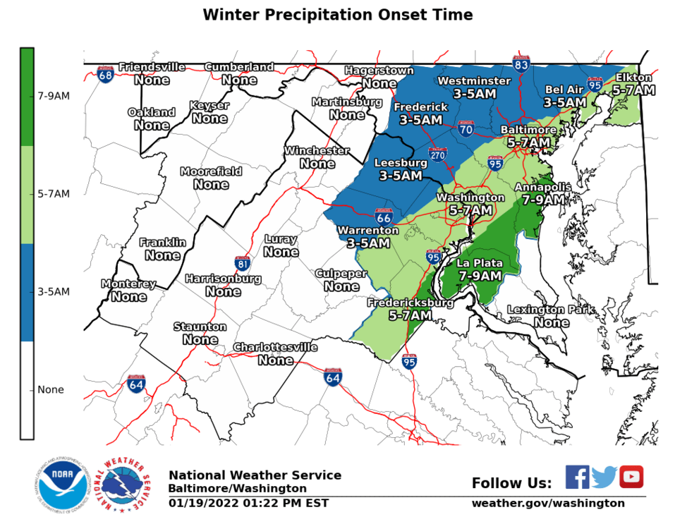
Amazing how critical a degree or two always is. Westminster ASOS, elevation 791 ft, is 36 degrees. Meanwhile, Site R, at 900 feel, is 32 and snow, and Camp David, over 1,000 ft, is 28. Cold air is just off the deck, but can't mix in. Seems like if we want to maximize a rapid changeover, we need a small wave along the front to pull the colder air down, otherwise these events bust on the warm side more often than not. These are no win events for NWS, DOTs, schools, et al because someone is mad at you. -
Thursday 1/20/22 Stat Padder Discussion and Observations
Eskimo Joe replied to stormtracker's topic in Mid Atlantic
Good rates + falling temps mean roads can cave quickly. -
Thursday 1/20/22 Stat Padder Discussion and Observations
Eskimo Joe replied to stormtracker's topic in Mid Atlantic
Bro, you're totally sick and the car won't start. Gotta stay home. -
Thursday 1/20/22 Stat Padder Discussion and Observations
Eskimo Joe replied to stormtracker's topic in Mid Atlantic
Flipped to snow in New Windsor, but it's white rain. -
Jan 21 - 22 Weekend SE VA and Eastern Shore Snow
Eskimo Joe replied to stormtracker's topic in Mid Atlantic
Well said. Clearly the GFS OP has been taking the GFS ensembles and the Euro OP/Ensembles to the wood shed this winter. -
Thursday 1/20/22 Stat Padder Discussion and Observations
Eskimo Joe replied to stormtracker's topic in Mid Atlantic
This small event could bring DCA to full climate snowfall in mod January. Encouraging to see the meso models show good lift centered in the snow growth region for several hours. Could over perform. -
Thursday 1/20/22 Stat Padder Discussion and Observations
Eskimo Joe replied to stormtracker's topic in Mid Atlantic
-
Thursday 1/20/22 Stat Padder Discussion and Observations
Eskimo Joe replied to stormtracker's topic in Mid Atlantic
Bring it. Then we flash freeze. -
Thursday 1/20/22 Stat Padder Discussion and Observations
Eskimo Joe replied to stormtracker's topic in Mid Atlantic
Still a better win percentage than Aaron Rodgers in the NFC Championship. -
Jan 21 - 22 Weekend SE VA and Eastern Shore Snow
Eskimo Joe replied to stormtracker's topic in Mid Atlantic
-
Jan 21 - 22 Weekend SE VA and Eastern Shore Snow
Eskimo Joe replied to stormtracker's topic in Mid Atlantic
Chincoteague or Cape Charles are the places to be for this. Cape Charles brewing is one of the best breweries I've ever been to. Beer and snow, what more do you need? -
Thursday 1/20/22 Stat Padder Discussion and Observations
Eskimo Joe replied to stormtracker's topic in Mid Atlantic
Looks like we get cold Thursday night, no? -
There's that northern crew spirit. I knew you had it in you.
-
Jan 21 - 22 Weekend SE VA and Eastern Shore Snow
Eskimo Joe replied to stormtracker's topic in Mid Atlantic
-
Jan 21 - 22 Weekend SE VA and Eastern Shore Snow
Eskimo Joe replied to stormtracker's topic in Mid Atlantic
Ratios will be better on the NW side so we'll win. -
Jan 21 - 22 Weekend SE VA and Eastern Shore Snow
Eskimo Joe replied to stormtracker's topic in Mid Atlantic
Other spots worth eating at for Chincoteague: 1.) Lunch (summer): SeaStar Cafe 2.) Dinner, Easter through Christmas (reservations strongly recommended): Etta's Channel Side (great views). -
Jan 21 - 22 Weekend SE VA and Eastern Shore Snow
Eskimo Joe replied to stormtracker's topic in Mid Atlantic
I'd take the 12z Euro for mby in a skinny minute. Lowlanders get snow with no temp issues it seems. -
Jan 21 - 22 Weekend SE VA and Eastern Shore Snow
Eskimo Joe replied to stormtracker's topic in Mid Atlantic
My benchmark is 3" - 5" for this event in Reisterstown. If we get a solid advisory level event on the weekend, with cold air behind it, what's not to like?- 633 replies
-
- 10
-
-
Jan 21 - 22 Weekend SE VA and Eastern Shore Snow
Eskimo Joe replied to stormtracker's topic in Mid Atlantic


