dWave
-
Posts
1,967 -
Joined
-
Last visited
Content Type
Profiles
Blogs
Forums
American Weather
Media Demo
Store
Gallery
Everything posted by dWave
-
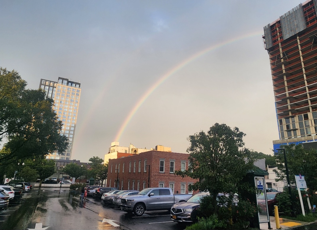
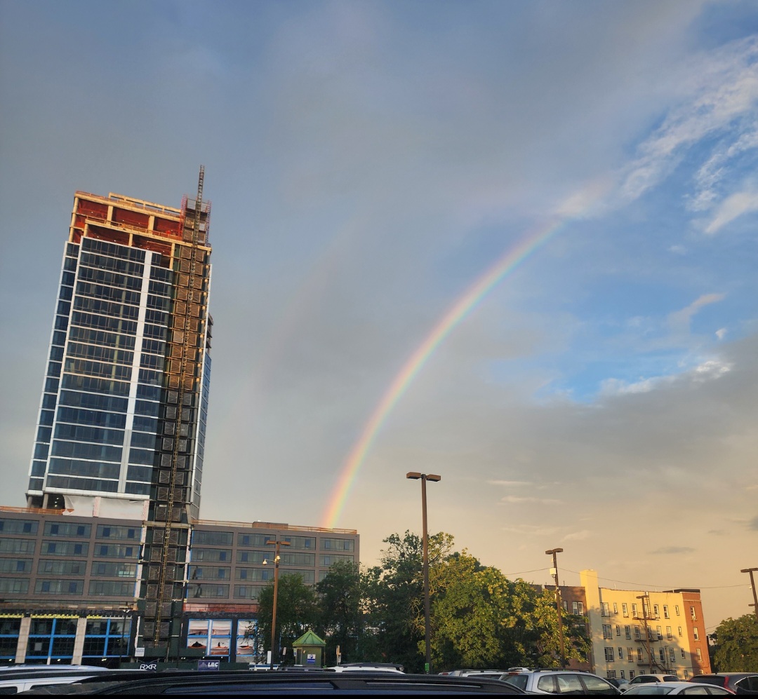
Damn its pouring, and this isnt the main event yet?
-
Flash flood warning as torrential downpour is near stationary over Bx, Southern Westchester and a little of NE NJ. Picking up around 2" of rain a day since Sat
-
You gotta put that on you tube or something. I heard a lifeguard today say he thought he saw a dolphin (probably) jumping out the water in the distance. There's a video recently of a pod of dolphins swimming in the western LI Sound, between Rye and New Rochelle. A little surprised they would go so far into the Sound. There was a dolphin in the Bx River a few months ago so I guess I shouldn't be surprised anymore.
-
Was at the rockaways and the water was very warm, reminded me of those water temps near 80 we had in July. Felt a little warmer then back then tbh. My watch was showing 78 - 81.
-
Very heavy rain continues..over 2" temp down to 68
-
At the Rockaways cloudy and humid. Weather station home in Bx says very heavy rain. 1.70" rain in last 45 mins. Lightning detection going crazy. Temp down to 70 from 89
-
Hazy sun 91 dew 75 Must be fun at US Open, it started so pleasant too. It couldn't last, when does it ever happen without intense heat at some point.
-
High 97 here, now 91 dew 70
-
You're argument is based on a sample size of 7 days vs an observed disparity over years...decades now. Of course there are other variables involved day to day, but the trend from the 90s to now is undeniable.
-
90 dew 70 now, after a low of 79.
-
96 dew 69 Matches highest temp recorded in early July
-
Some sun breaking through. Temp was steady around 80, now 83
-
The same persistant narrow line roughly from Newburgh to the Throgs Neck Br, extending toward JFK now. Where is it coming from? Is there a back door cold front stuck there?
-
82/67, light rain again with some sun coming through Hot mostly sunny forecast turning out to be warm, mix of clouds and sun w/occasional showers
-
In Central Park it will
-
Quite a storm woke me up. Epic light show
-
90 now
-
First?! I see them daily. I gave up with trying to kill them, I just accepted them as a permanent part of the landscape now. I've learned to recognize what stage of development they are based on appearance. Last summer was more though. I am mad they destroyed a cucumber plant I had growing.
-
That north wind brining the colder ocean temps back to the surface. Big difference from before.
-
Wow dramatic end to Tito Puento Jr free concert in New Rochelle. Crazy winds, damaged stage tree branches pelting ppl, mini stampede. Possible injuries it appears.
-
It's seems to always be on the weekend.. .or a significant threat. Maybe last summer was so dry it spoiled us to count on dry weather.
-
Storms incoming. Very gusty winds but still mostly sunny. For the sake of many outdoor activities right now any hope this weakens over 5 boros
-
A late push and temp is up to 92. Makes a heat wave. 93, 93, 92
-
Temps rising now, and more windy. 93* dew 71