snowman19
-
Posts
10,353 -
Joined
Content Type
Profiles
Blogs
Forums
American Weather
Media Demo
Store
Gallery
Everything posted by snowman19
-
Storm potential January 17th-18th
snowman19 replied to WeatherGeek2025's topic in New York City Metro
I’m going with the EPS and op EURO on this one -
Storm potential January 17th-18th
snowman19 replied to WeatherGeek2025's topic in New York City Metro
-
Storm potential January 17th-18th
snowman19 replied to WeatherGeek2025's topic in New York City Metro
Anyone actually believing the outlier op GFS is just asking for extreme disappointment. Its own ensemble (GEFS) says it’s off its rocker. The EURO op, EURO AI and EPS look absolutely nothing at all like it for Sat-Sun -
Almost forgot about your SSWE hype when you were using graphics from that nimrod Mark Moregarbage back in December when he was hyping a massive SSWE and total SPV split for Christmas week, yet another good one @MJO812 EDIT: You put up a picture of the graphic he posted on his twitter that he was using to hype a major stratospheric warming and @40/70 Benchmark called you out on it at the time. I know you remember it, you don’t have Alzheimer’s disease
-
“30+ days in MJO phase 8 in December”. One of the best doozy’s of all time from you. Stick to arresting perps in the Bronx
-
Wrong again, but that’s normal for you. There was just a massive EWB and positive SOI spike and region 3.4 has dropped as low as it’s been for this entire event. Maybe you should stick to predicting 30+ day long MJO phase 8 events
-
One thing I’m extremely confident in is that we don’t see 5 winter months (Nov, Dec, Jan, Feb, Mar) in a row go below normal for temps. I do think January ends up being another below normal month, which would make 3 in a row since Nov. IMO no way in hell do both Feb and Mar also end up below normal. The only La Niña that did that in the last 30+ years was 1995-96 and that was well before CC hit
-
January 2026 regional war/obs/disco thread
snowman19 replied to Baroclinic Zone's topic in New England
If the EPS is correct, after 1/20 it looks like a gradient pattern sets up and gradient patterns in Nina’s very highly favor New England -
January 2026 regional war/obs/disco thread
snowman19 replied to Baroclinic Zone's topic in New England
Maybe there is some truth to the old saying “drought begets drought”. We have been stuck in this dryness/drought cycle since the tail end of summer, 2024. I don’t see it breaking until the El Niño gets established this summer. The drought has actually gotten worse since December in the NYC metro area. This winter pattern is just following the ongoing, overall theme of dryness, where storms either disappear or underperform with lower QPF than expected as we get closer in time. Just following the overall drought cycle. New tweet from NWS Upton: -
Just mentioned this in the ENSO thread, but this pattern is following the underlying, overall theme of dryness/drought since the end of summer, 2024 and modeled storms either disappearing or underperforming with low QPF once we get closer in time. Again, I don’t think this repeating cycle breaks until the El Niño gets established this summer. The drought has actually gotten worse since December:
-
It’s following the underlying, overall theme of dryness/drought since the end of summer, 2024 and modeled storms either disappearing or underperforming with low QPF once we get closer in time. Again, I don’t think this repeating cycle breaks until the El Niño gets established this summer. The drought has actually gotten worse since December:
-
While I have no problem with going +PNA the rest of this month, I completely disagree that it goes into February. I see February as a -PNA dominated month
-
One thing I’m real confident in is that February is going to be predominantly -PNA/RNA. I do not buy for one second that February is going to be +PNA and I don’t think you or @SnowGoose69 do either. I see a very strong -PNA signal for next month and I think it flips or at the very least starts to flip to RNA in the final few days of this month
-
I guess maybe you missed the part where I was only speaking in terms of ENSO, not any of the other stuff you mentioned? @GaWx Ummm no, that is not what I was implying at all. I’ll say it again, I was speaking only of the ENSO evolution
-
The fact that the EPS doesn’t have it is a red flag with the op EURO. I honestly can’t remember the last time we had a true Norlun in the metro area. Anyway, the UKMET finally loaded and it looks like the ICON and CMC. After what it did the last 2 days the op GFS should be tossed, luckily the GEFS was showing that its op runs have been total nonsense. The EPS, NWS National Blend of Models and AI EURO have a very minor event and that would be the way to go IMO. The GEPS comes out soon but it hasn’t budged in days and I don’t expect the new run to either @donsutherland1 EDIT: GEPS held serve @MJO812 Your wishcasting isn’t going to turn this into a snowstorm
-
It’s pretty uncanny (at least so far) how close we’ve been following the 16-17 La Niña evolution….weak Niña, very strong -IOD in the fall, now the “under the radar” EWB and SOI spike right around the same times in January. Then the big WWB afterwards and total La Niña collapse….assuming this one (WWB) ends up being comparable to 2017. This latest EWB and SOI spike definitely did some damage though, huge SST drop in region 3.4 with the upwelling and there’s real healthy tropical instability waves showing up on the new SST charts
-
The GFS “blizzard” yesterday was a real leg slapper lol Go with the EPS :-)
-
The GFS is a pure, unadulterated garbage model. By far, the worst of the worst. NWS should stop running it until it gets fixed. Complete and utter embarrassment of a model
-
Correct. The EPS and GEFS for sure are not as enthused as the operationals and the GEPS definitely isn’t enthused. Even the EURO AI was much less robust than the op EURO
-
EPS and GEFS definitely not as robust as the operationals, neither is the EURO AI. Waiting on GEPS EDIT: GEPS not robust at all
-
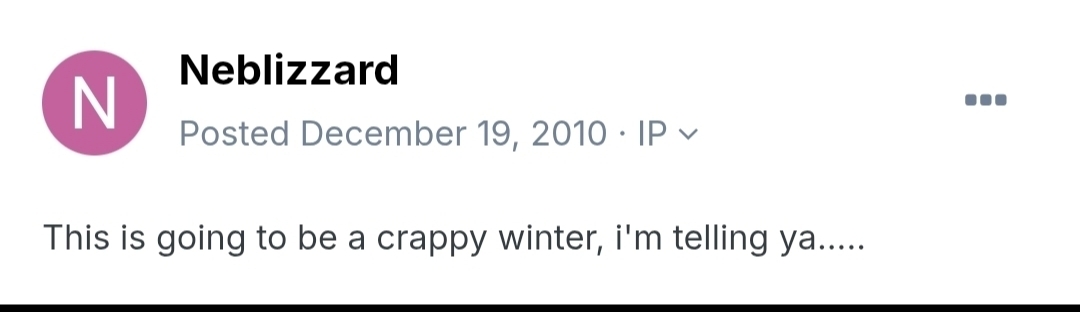
Hi! Remember this doozy from you back on December 19, 2010:

-
Yea. If one does happen, I can’t see it being on the same level as February, 2018. That SSWE was just off charts, very highly anomalous. I’d have to say the chances of seeing two in less than a decade is extremely unlikely, but I guess stranger things have happened
-
That definitely does not look like a Miller A KU setup to me. Maybe @forkyfork can chime in?
-
January 2026 regional war/obs/disco thread
snowman19 replied to Baroclinic Zone's topic in New England
Well that does it….DT is “woofing” about a Miller A KU up the coast next week. When he does that, he dooms it. I don’t know who’s the bigger kiss of death….him, Moregarbage, or JB -
The one very persistent variable that hasn’t changed since the tail end of summer, 2024 has been the dry/drought pattern we’ve been stuck in ever since. My guess is that this changes in a big way once the El Niño establishes itself this summer @bluewave