

snowman19
-
Posts
7,524 -
Joined
Content Type
Profiles
Blogs
Forums
American Weather
Media Demo
Store
Gallery
Posts posted by snowman19
-
-
3 minutes ago, kat5hurricane said:
How can you say so definitively when reliable models are showing all or at least mostly snow just north of the coast? Everything from big snowstorm to big rainstorm is still on the table at this juncture.
He’s right. If it happens the way the Euro just showed it is definitely not staying snow. There will be massive midlevel warming in such a setup
-
3 minutes ago, bluewave said:
The Euro is back to the big ice storm for the NYC Metro that it was showing last weekend.

It’s showing close to a record ice storm north and west of the city
-
It would appear the FV3 is about to spit out a completely different solution than the “old” GFS. It may very well be Thursday before a general model consensus like some have been saying
-
3 minutes ago, bluewave said:
This is a be careful what you wish for type of storm. Colder could mean more ice instead of snow with the CAD dueling with the WAA just above the surface.
Exactly. Shallow cold at the surface doesn’t mean snow here at all. The midlevel lows are tracking way west of the area. All colder at the surface will mean is sleet (may even be too warm aloft for that) and freezing rain. The midlevels are going to be absolutely torching in a setup like the Euro/GFS/CMC are showing. There may be very minimal snow here and instead ice may be the real story
-
1 minute ago, Ericjcrash said:
GFS is beyond amped.
It sure is, going to be way west. In fact, it may actually show it starting as rain
-
1 minute ago, Rjay said:
Yep. 50 degrees even up to where I am
-
3 minutes ago, mikem81 said:
Looks nothing the UKMET. EURO has a 992 LP in Pittsburgh
It’s another very bad run, even for the NW suburbs in this forum. It’s a mess all the way up into central New England. Basically no change from 0z here
-
 1
1
-
-
42 minutes ago, White Gorilla said:
Wondering if snow cover laid down by the Friday storm could force a track further South than what models might suggest.
It’s an old wives tale that snowcover forces storm tracks. Even if for arguments sake we had 2 feet of snowcover on the ground, a storm can still track right over the snowcover. If you get a strong enough shortwave amping up in the wrong spot it doesn’t matter if you have deep snowcover and unmodified arctic air at the surface, the low can still cut right over the snowcover and arctic air. People make this argument all the time and it’s simply not true. It’s happened many times in the past
-
 1
1
-
-
3 minutes ago, RDRY said:
The SLP track is just slightly north of due east from 120 to 168, and stays south of NYC. That should keep this mostly frozen.
The mid levels are torching. It’s not staying frozen precip falling with that setup
-
The lack of a -NAO block is going to be a big problem I think. You are also lacking a very strong -AO and -EPO which could have compensated for not having a -NAO. While I don’t think the weekend is a full on cutter into the Great Lakes, I can easily see an inside/inland runner for sure. I’m not buying the argument that there is going to be secondary coastal redevelopment with no blocking in the Atlantic. You will also be dealing with a bit of a SE Ridge pop next weekend
-
1
-
-
Just now, Brian5671 said:
there's not blocking....that's why I don't get JB's redevelopment scenario....
It’s kind of hard to have secondary redevelopment without North Atlantic blocking (-NAO) ahead of the primary parent low
-
The GFS looks like it’s going to be an inland runner
-
1
-
-
3 minutes ago, bluewave said:
I won’t get concerned until I see the Euro hold that solution within it’s good range starting at 120 hrs out. It’s curently the Euro vs GFS,UKMET, CMC, and ICON.
Not even the normally colder Para GFS is showing anything like the Euro. For now, op Euro vs the world. EPS should be interesting
-
23 minutes ago, SnowGoose69 said:
I LOL Gfs is now suppressing the first wave into the MA. You can’t make this stuff up
It seems like there’s some winters that just want to snow, it snows in unfavorable setups, just comes out of nowhere, then there’s the ones that just find any excuse not to snow....
-
1
-
-
12 minutes ago, sussexcountyobs said:
That must be the ice storm I remember with heavy freezing rain and a temp of 3°.
That’s the one. I believe it was January 1994. Unmodified arctic air at the surface, like 2+ feet of snowcover and freezing rain. It was a crippling ice storm
-
33 minutes ago, Big Jims Videos said:
I believe that ice storm in 1994 hammered us at the Jersey Shore as well and was the same day as the California earthquake. We may have been off for school for MLK day. That was the most ice I've ever seen at the shore. It was even worse a few miles northwest of Belmar.
The 93-94 winter had a massive freezing rain storm in the metro with temps in the single digits, further upstate had freezing rain with temps below zero
-
1
-
-
1 hour ago, SnoSki14 said:
Well I don't think we'll see freezing rain with single digits temperatures.
Why exactly wouldn’t you see freezing rain with single digit temps? As in you don’t think that’s physically possible or what?
-
Just now, Snow88 said:
If you check out other forums , they arent worried about the mjo.
Ssw might trumph the mjo.
The problem would be if it gains amplitude in phases 4&5. Then we will have issues at the end of the month
-
38 minutes ago, Snow88 said:
Confluence is going to act like a cheese grater
Yep. The northern part of the shield is going to get shredded by confluence
-
1
-
-
26 minutes ago, Brian5671 said:
those years were also in the heart of the warm AMO with a warm north atlantic that would enhance blocking....
Great post. +AMO not only favors NATL blocking (-NAO), it also strongly favors more KU events. I don’t think the recent streak of +NAO winters since we’ve begun going into a -AMO is any coincidence. As we get deeper into the long term -AMO cycle, I’m willing to bet that we see a real big drop in the number of KU’s and majority +NAO winters coming up in the next decade
-
59 minutes ago, NEG NAO said:
I think "patience" has been the most used word in this forum the last month or so - "bust" might become the second
A big part of the problem was the ridiculous analogs being peddled around back in September, October and November. Some folks were calling for wall to wall winter from November through March and it backfired horribly
-
 1
1
-
 1
1
-
-
9 minutes ago, snowman19 said:
Since late November, the cold and snowy pattern changes stay at day 10+ and never move forward in time. The long range never advances and when it becomes medium range it corrects much warmer. It honestly reminds me of 2011-2012. Deja Vu
Also the threats that stay snow, end up going way suppressed
-
1
-
1
-
-
50 minutes ago, Brian5671 said:
Theme of the winter...the great pattern and storm is always 10 days away only to correct warmer/no storm as we move into medium range...
Since late November, the cold and snowy pattern changes stay at day 10+ and never move forward in time. The long range never advances and when it becomes medium range it corrects much warmer. It honestly reminds me of 2011-2012. Deja Vu
-
1
-
-
Don’t even have to look at the rest of it, the Euro is going to be suppressed, even DC is going to have totals cut back from 12z. Weaker too
-
1
-


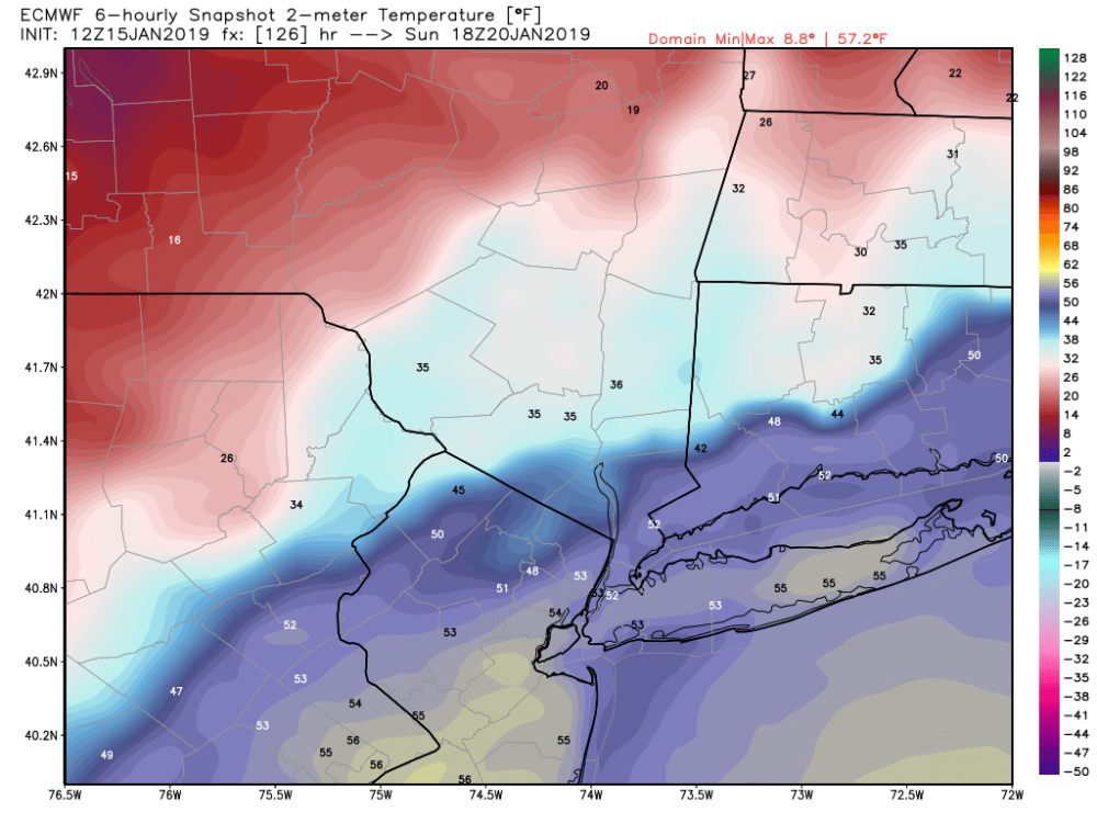
January 19-20th Winter Storm Threat
in New York City Metro
Posted
This could be quite the freezing rain and sleet event. Every model has the midlevels torching. Usually the midlevel warm punch always verifies warmer as you close in on the storm. The low level jet is going to be screaming in from the south