
ers-wxman1
-
Posts
2,525 -
Joined
-
Last visited
Content Type
Profiles
Blogs
Forums
American Weather
Media Demo
Store
Gallery
Everything posted by ers-wxman1
-
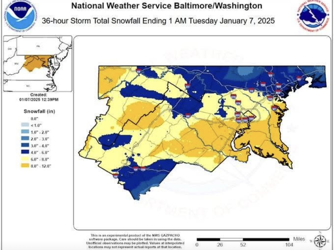
Steady snow in Reston, moderate at times. Rates seem better than Monday morning. Bet we see closer to 2”
-
In what way has it been horrible? It did very well on the last event.
-
5.5-6” in Reston. Second event getting underway.
-
Will have to wait and see how the evening round pans out, but thus far the HRRR, NAM 3K, RAP, and EURO were overdone, especially the high res - more like 30-40% overdone. I recall the HRRR showing 12-15”, it at least corrected some yesterday. The GFS and even to some degree the ICON had the right idea with heavier totals S and E.
-
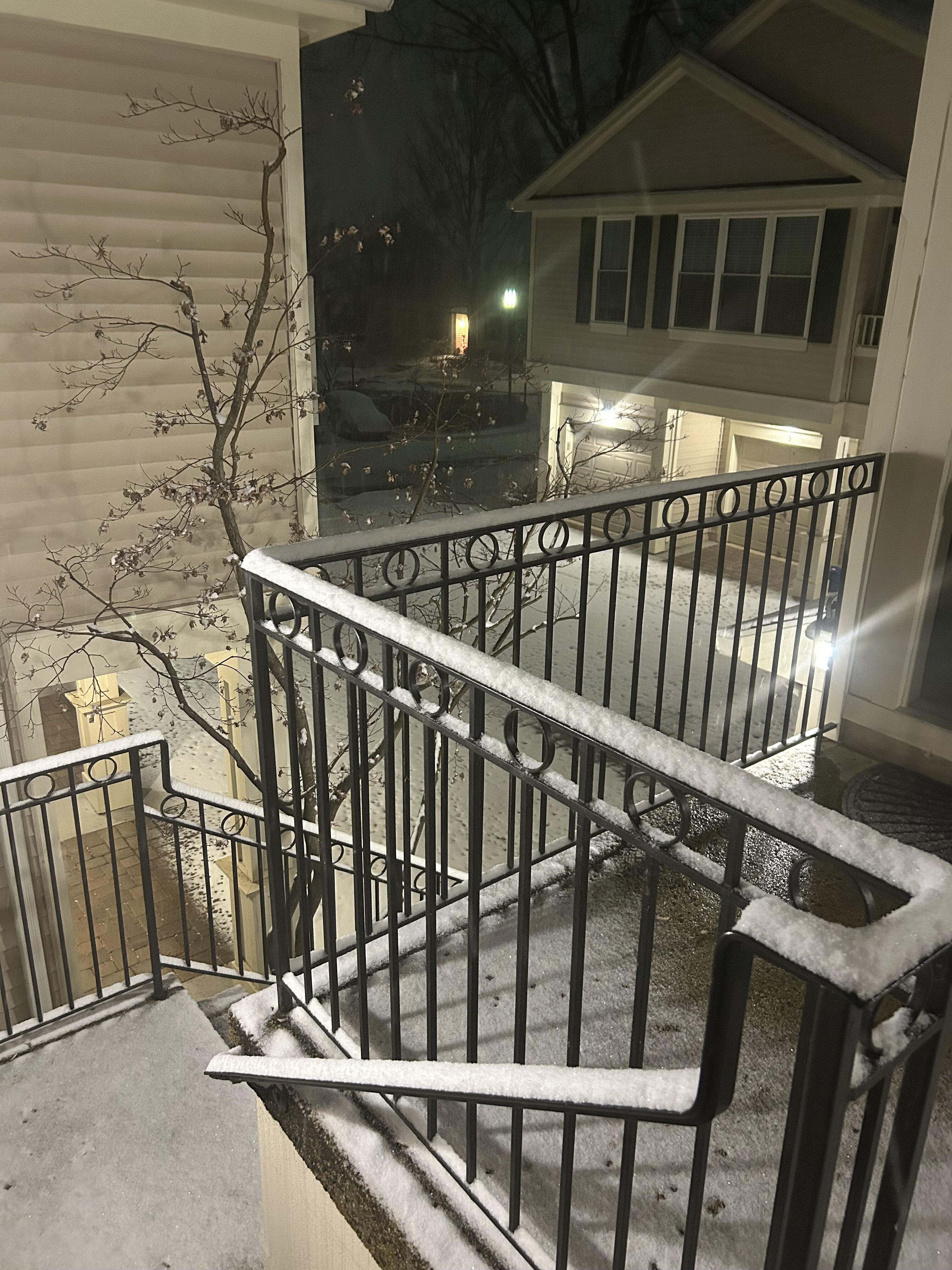
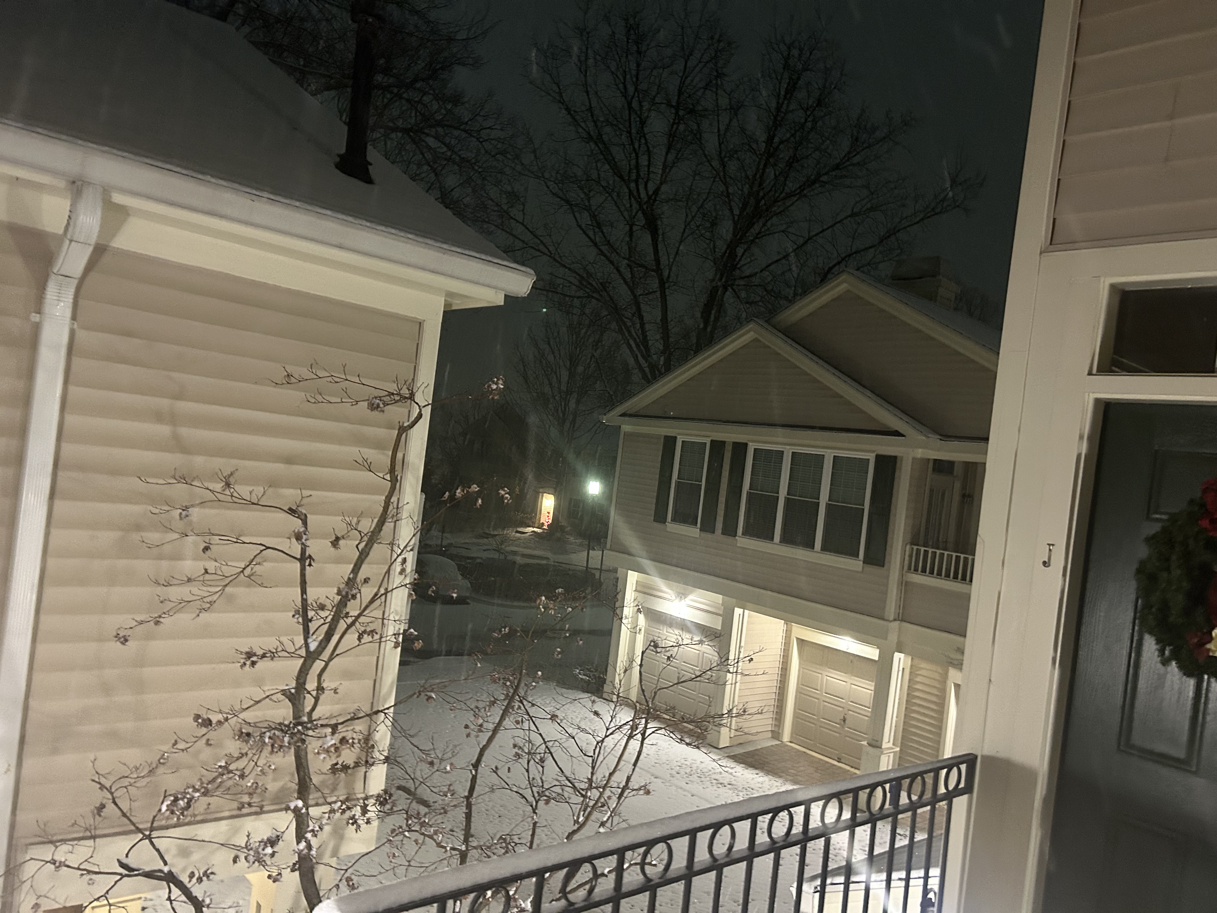
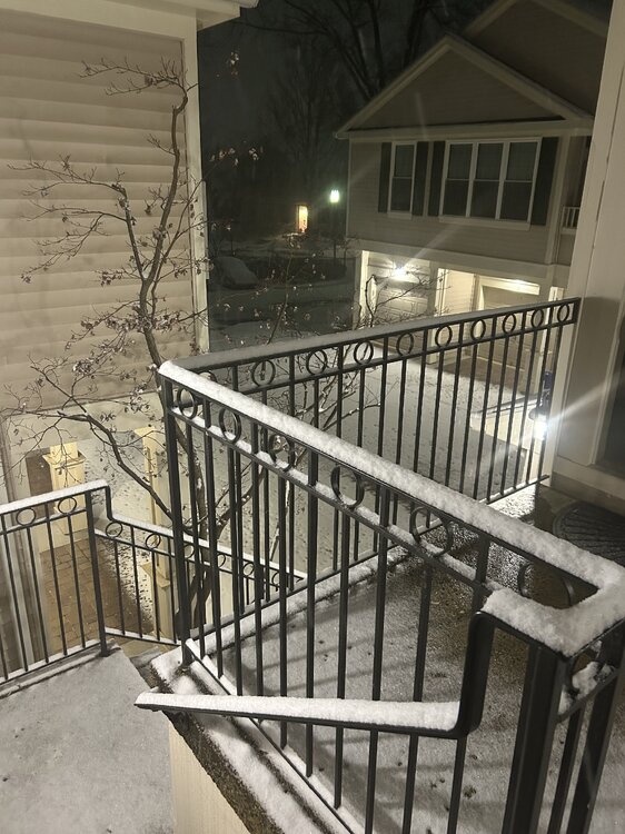
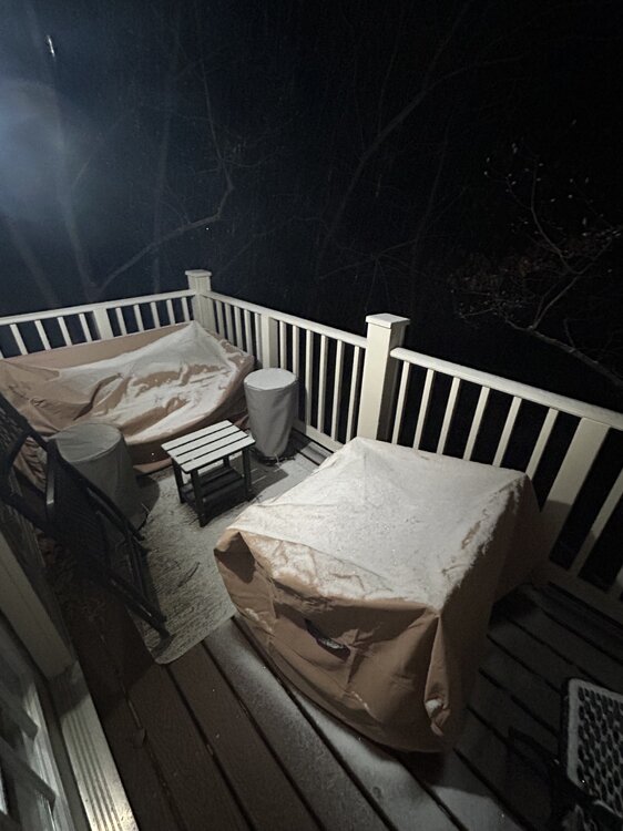
1.5”, snow picking up. All surfaces covered.

-
Steady light snow, flakes increasing in size. Coating on all surfaces.
-
Very light snow has begun here. I’m 2N of Reston Town Center.
-
Dewpoint up to 19 at IAD. Should be another 30 min to an hour before the hole fills in. Always something around here to throw things off. Snowing at the FAA Command Center in Warrenton, my boss says.
-
I’m on shift this evening at the Command Center. Can tell you the convection down south is significant…tops over 40,000 feet in January. The tap is out of the gulf into very cold air. The rates here will be impressive after midnight and I would expect the snow to pile up fast so the high res models that have been showing this are likely correct. Do believe we will see 90% of our snowfall up until 10 am Monday/15Z. Upper pattern looks reasonable to support light snow into Monday night. South of 66/50 still could see a few pingers mixed in with all the WAA and latent heat release but not too significant. Dynamic event and I always side conservatively in here.
-
As exciting as it looks, take the HRRR with a grain of salt. If all of the high res models begin converging on a 12+ area wide event then it may be on to something.
-
HRRR goes bonkers on frontogenetical forcing in a cold column. I’ve seen it both overdone and underdone and when it busts it’s usually a bad one. The elements are there for heavy snow but we are not seeing a true upper level phase that would produce this type of snowfall. More so a 6-10 inch event with a few pockets of 12 is more likely in this setup. 90% of our snow will fall between 2 am and 10 am, purely WAA with frontogenetical banding. Beyond that it’s more complicated with the pass of the upper low and development of the coastal which will not phase.
-
Still snowing at 18z per NAM
-
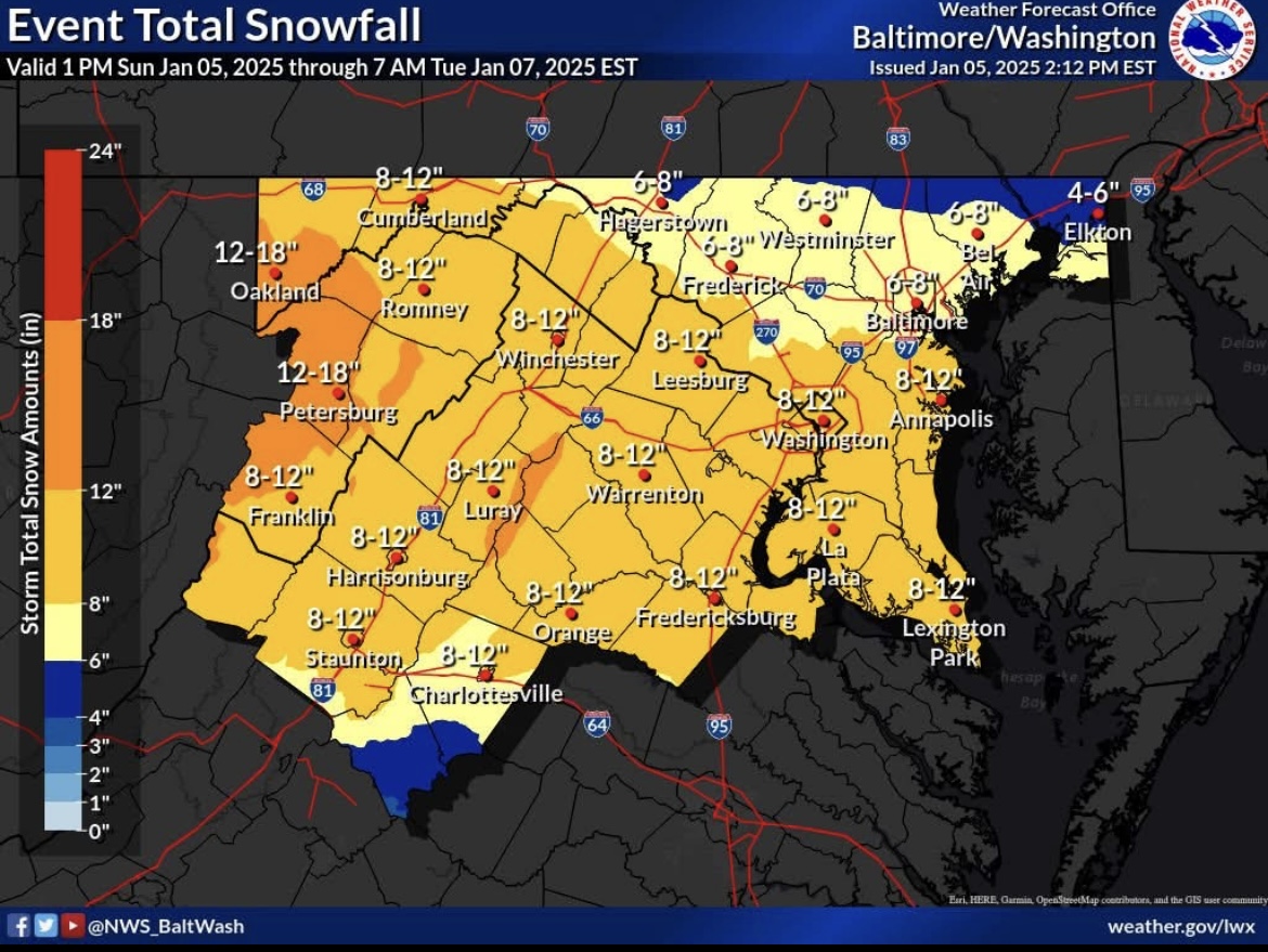
Warning level snowfall for much of the sub forum. North of I-66/50 likely to see 6-10”, south mixing likely to an extent, but big question is how will the upper levels evolve and how quickly can the coastal get organized. Potential for an uptick with future runs if the 850/700/500 can close off or at least take a favorable south of the region track. Cold air in place. This is our best shot in several years.
-
I see the synoptic pattern evolving with each run. Primary out west with WAA thump from 24 hours ago to now a transfer to a coastal low that takes over. NAM showing this, hence precip filling back in late Monday into Tuesday. I think this is dynamic and still evolving into something potentially significant for our area. If the upper levels can cut off and track south of us, heavier totals will be possible.
-
Guidance will be all over the place with this until 36-48 hours out. A west to east track is not the best for heavy snow for our region, however, the strong WAA riding over the cold air initially is our best shot at accumulating snow. It’s dynamic system so the guidance will have issues. .
-
We will have the cold air in place to start, however, no re-enforcing cold source to funnel in. Pattern like this is for a front end thump in WAA which is our best shot. A good thump before the warmer air takes over. The stronger the low is to our west the faster the warm air takes over and then dry slot. Like threading a needle. I think the solutions with the stout CAD may be overdone a bit. Dynamic system which the GFS can have trouble locking in a solution like this. NAM, though at extended range is showing hints of more icing which in a La Niña is more climatologically favorable in a synoptic pattern like this. .
-
24/17 here in Snowshoe, WV. First weekend of skiing.
-
We don’t have that pattern in place.
-
Strong southeasterly winds off the deck coming off a mild Atlantic will erode that airmass quickly.
-
The pattern is missing key features that would generate a solid winter storm not just for the MA but for the Northeast as well. How many arctic intrusions with wind chill headlines and sub zero air masses over the northern Plains and Great Lakes this season. None. Very abnormal to see this over an extended period like we have. Bass boats were being launched on the lakes in Minnesota on 12/27, on a lake where cars normally drive on with thick ice. Something is amiss and yes it would take a larger scale phenomenon to get it to shift. No mechanisms in place to both drive arctic air in and keep it. Pattern is not amplified like needed. No blocking, no ridging out over the western U.S. we get cool passages with modified air. Not going to get it done. El Niño is only one factor. That just guarantees more southern stream energy, drought going away with ample moisture but it does NOT necessarily mean more snow. No cold air to produce. PSU is correct in his assessment. Going to take a more persistent change or else it’s more of the same.
-
Guidance did this on the Wed 00Z run, closed off the 850 low tracking to our south and frozen went up dramatically.
-
Wrote about this yesterday. It is a mistake just to look at the model output, QPF etc. Analyze the scenario from the top down. 500/700/850. Are you seeing any features that align with known weather patterns that generate heavy snow across our area? Ridging out west, 850/700/500 energy is closed, deepening as it swings to our south? Strong high to the north? Blocking? Also with the CAD…what kind of air mass is being dammed? Nowhere in the northern tier do we see wind chill or extreme temperature headlines. These are flags. It’s been mild. The big difference last night on the 00z I saw was the 850 low became closed and stronger with the vort passage, while the high became stronger, and more dynamics, ridging hinted over the western U.S. that amplifies things enough to deepen the surface low in the right spot, however this isn’t slam dunk. It’s all marginal and not dealing with a textbook winter storm here, so any minor shift in these subtle features will significantly alter snowfall amounts. That is what is happening. It’s simply not the ideal pattern. It would be a heavy front end thump then hope for wrap around as it winds up offshore before subsidence kicks in. Many moving parts. Strong SW upper flow makes this fast moving system, rely on front end WAA. Thermals also marginal, no good source to fuel this. These types of systems are a nightmare to forecast, especially with regard to headlines and where to put them.
-
There has never been anything in place to support such a storm. Guidance in the long range is simply trending toward climatology. The features that were being modeled weren’t even in the U.S. It gets closer then reality settles in. There is not a single cold temperature or wind chill headline out anywhere in the Plains or New England. That is very telling of the airmass we are dealing with. Bass boats were going out on the lakes in MN late Dec where normally you would find cars driving out on the ice. Different patterns driving weather. It’s important to know the patterns, analogs, so you know the type of setup that is textbook to this area. If a model is dumping double digit snows here but doesn’t align to a pattern known to produce then you have a red flag right off the bat.