Chinook
-
Posts
11,160 -
Joined
-
Last visited
Content Type
Profiles
Blogs
Forums
American Weather
Media Demo
Store
Gallery
Everything posted by Chinook
-
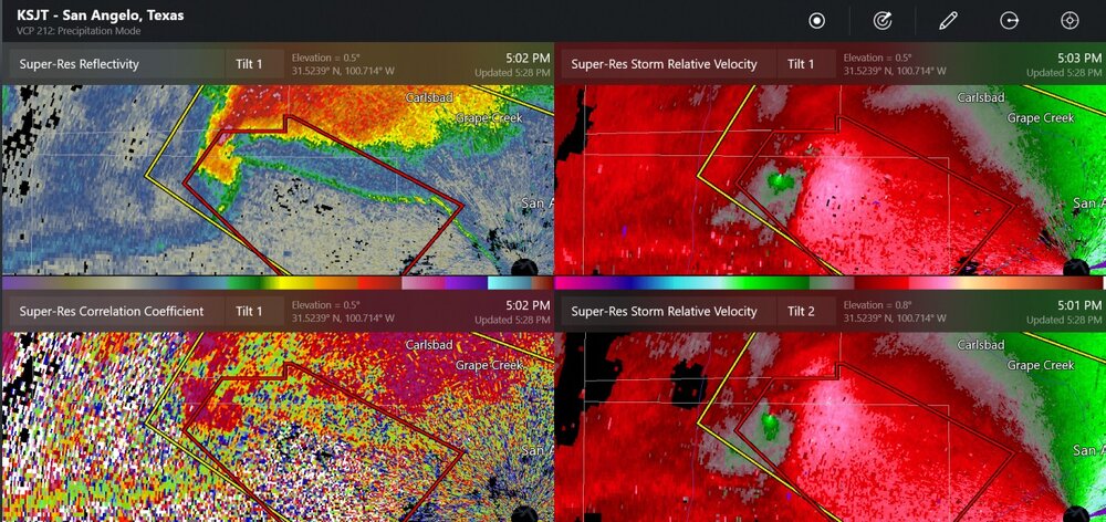
This storm, with possibly two confirmed tornadoes, rode an outflow boundary
-
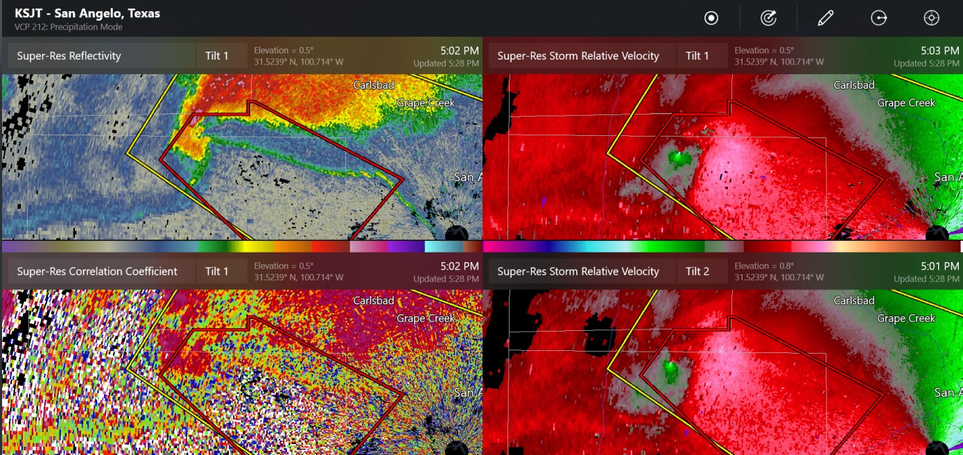
Tom Green County, the county with a panhandle that has a first and last name

-
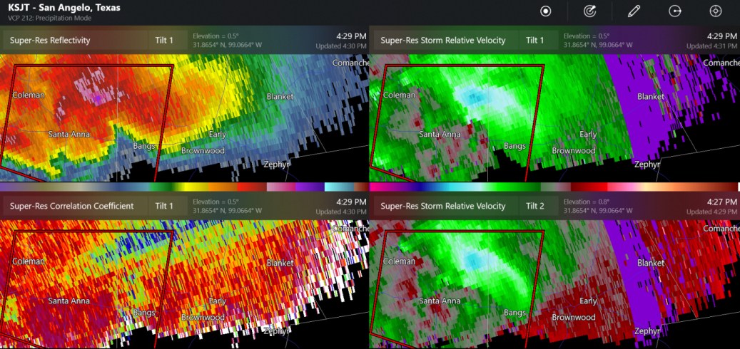
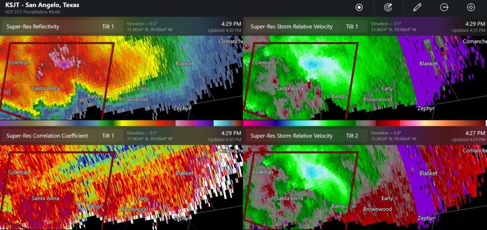
Here's a supercell with 2.25"-3.25" hail and a possible tornado near Brownwood (mid-Texas)
-
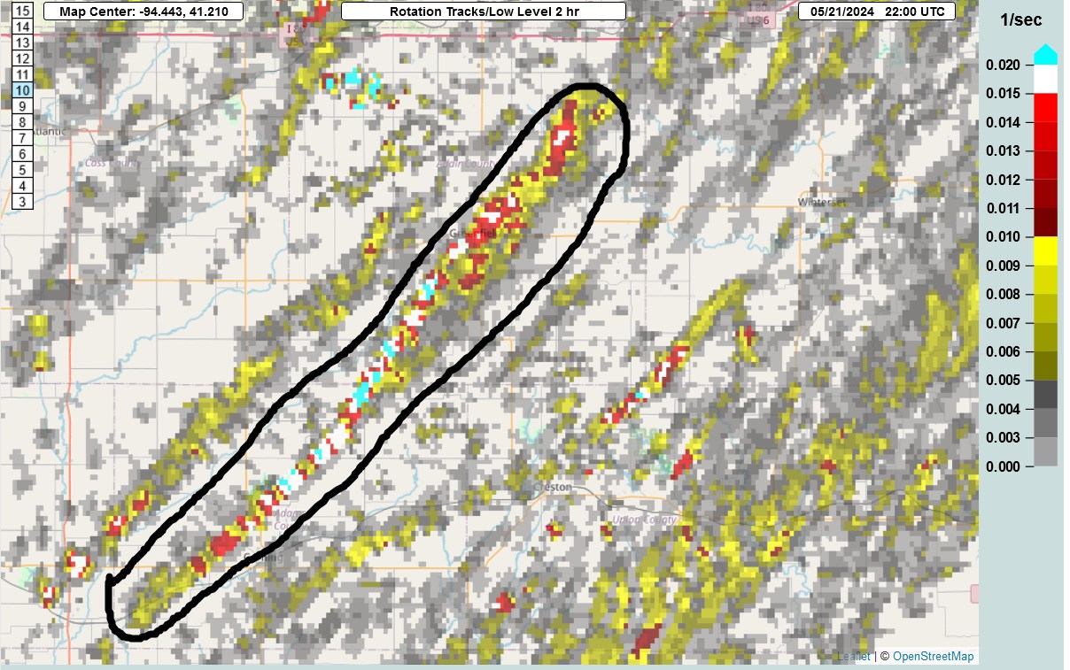
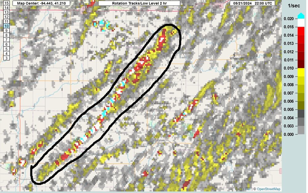
Rotation track for the Greenwood supercell
-
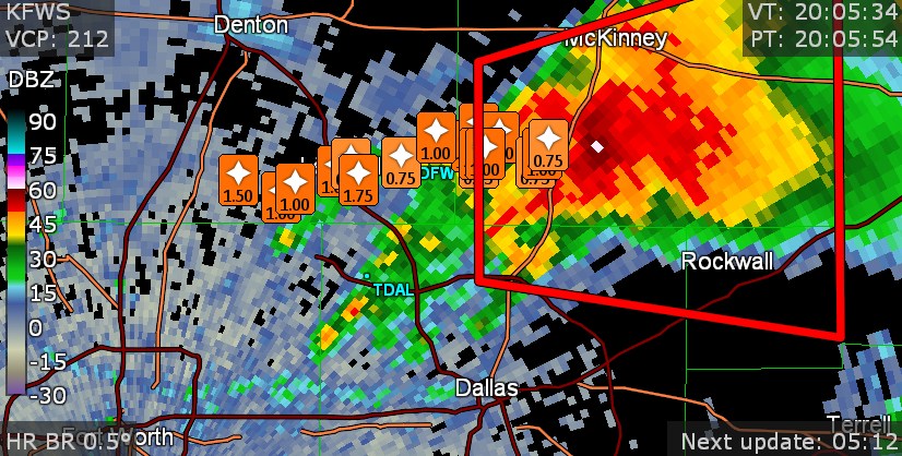
Maybe some of your friends got this large hail
-
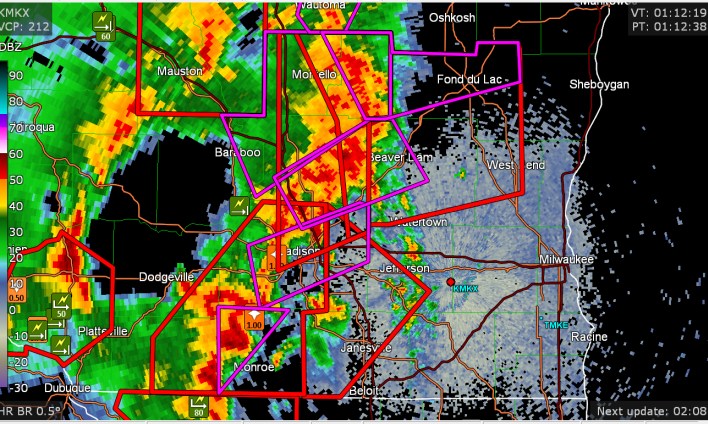
Seems like these warnings in Wisconsin were all about wind threat and no tornadoes
-
confirmed tornado near Davenport
-
maybe my system couldn't display a number over 141mph
-
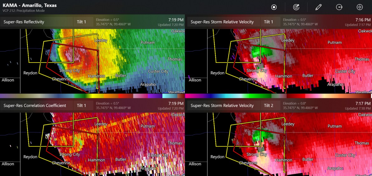
possible tornado by Tiawah, Oklahoma, which is near the Tulsa radar
-
It was pretty close to the radar, and I think I found that the base velocity was 140mph on the south side of the tornado, maybe the max base velocity that can be measured?
-
tornado tracked about 17-18 miles in 12 minutes
-
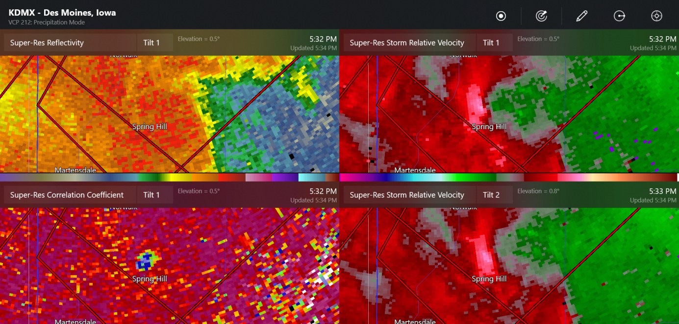
new tornado by Cambridge, north of Des Moines. (radar might have seen the initial circulation right next to the radar a few minutes ago)
-
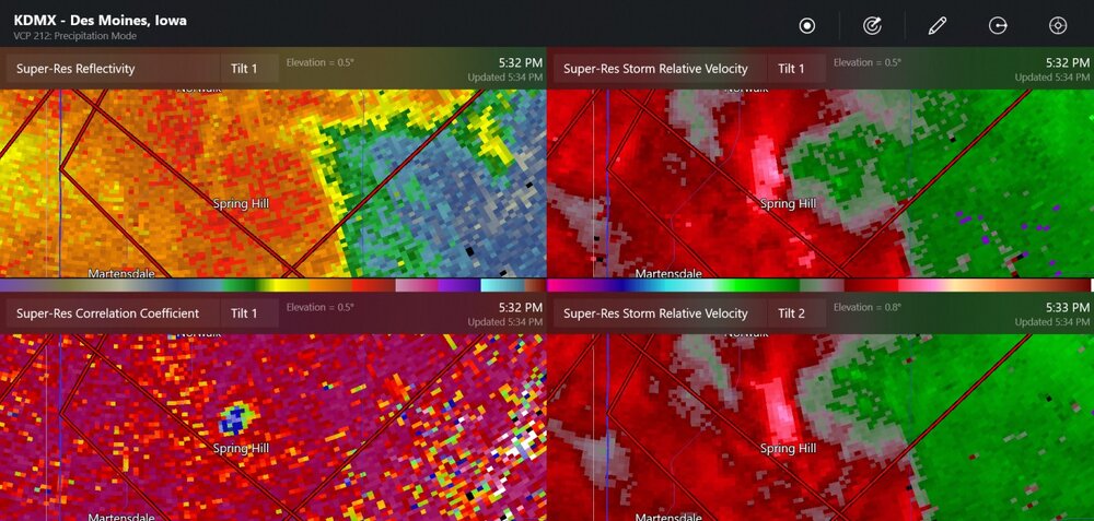
this was a tornado that may have been brief (might mentioned as Greenbush, a small town)
-
There might be a tornado getting going around Villisca.
-
The 00z models pretty much get things going in mid-Iowa
-
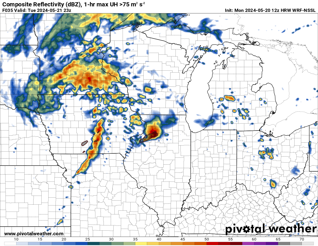
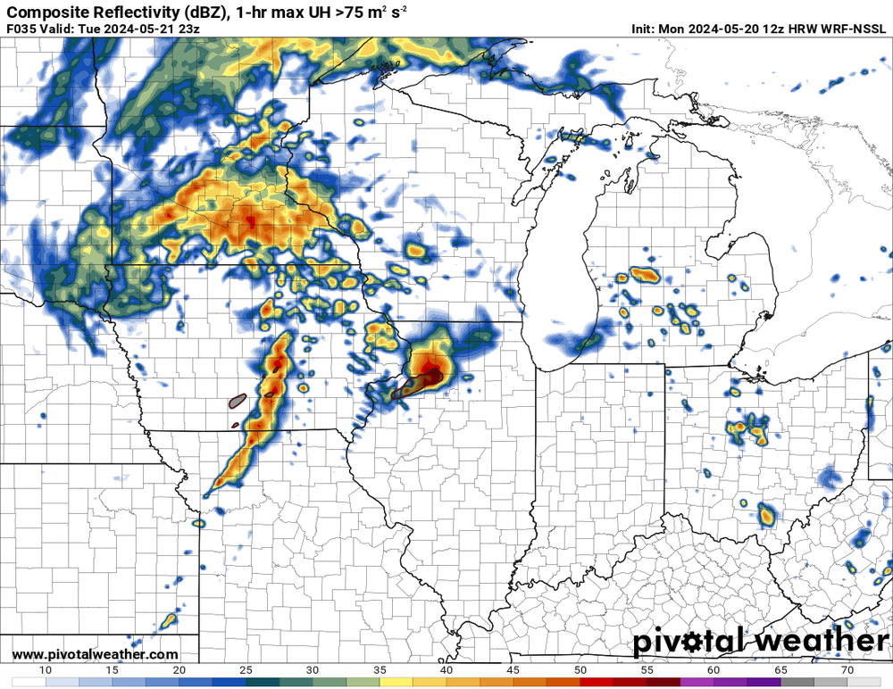
This morning's WRF-NSSL predicts a storm complex going into Illinois well before a main line of storms.
-
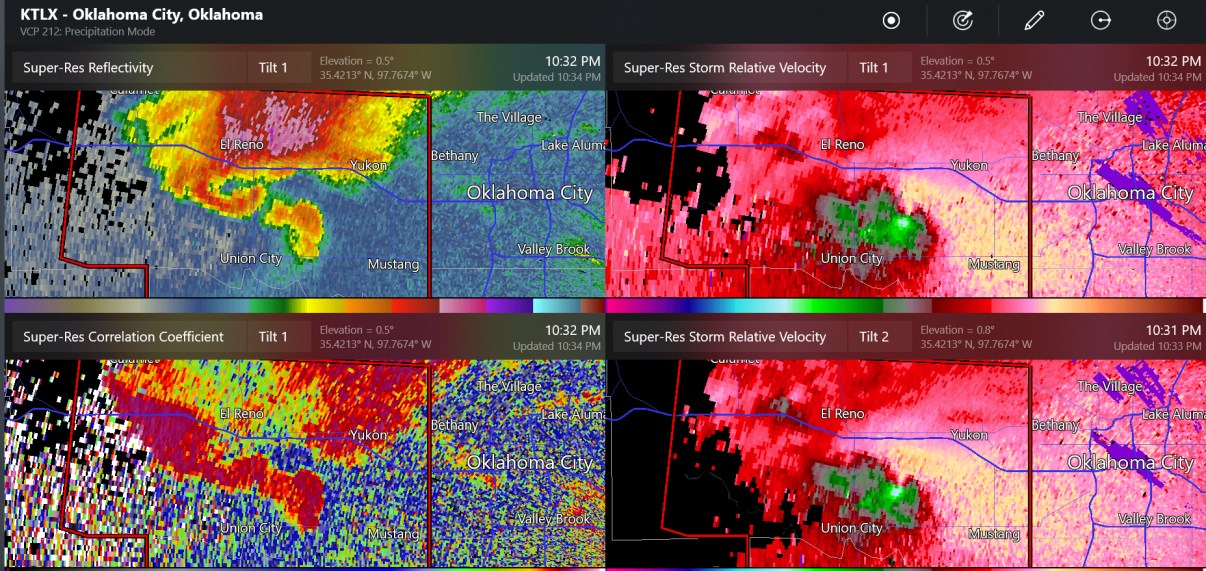
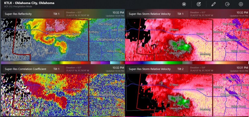
storm chaser seeing a tornado near Mustang
-
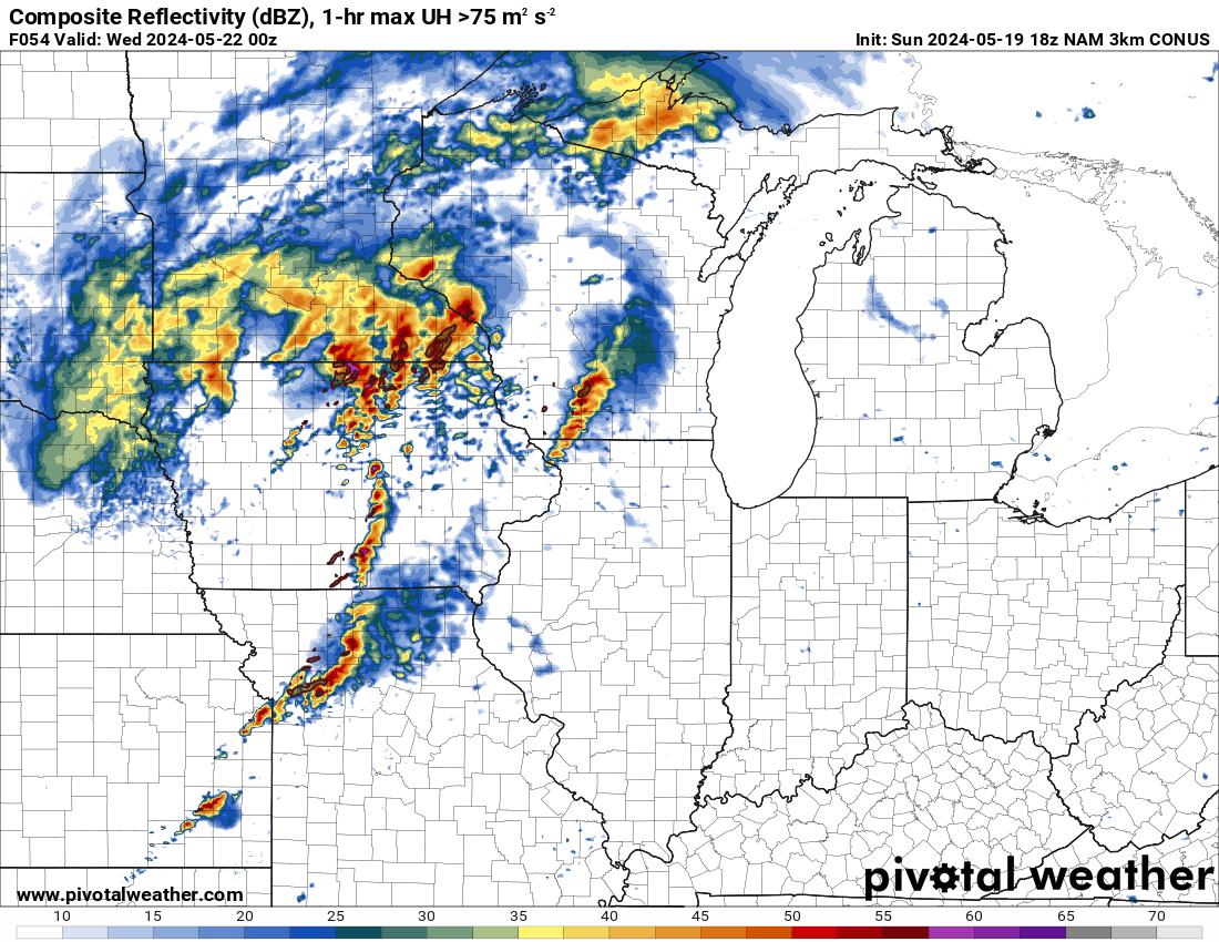
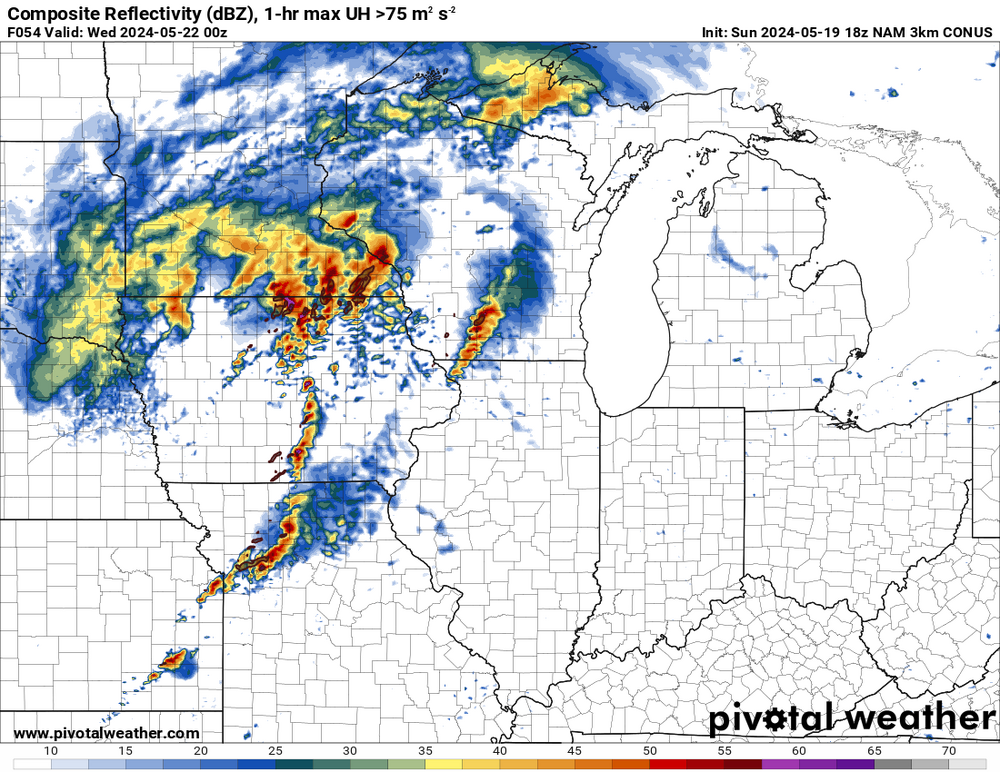
Given the day-3 information, I would guess that there is a significant chance of tornadoes with discrete cells in the Midwest on Tuesday.
-
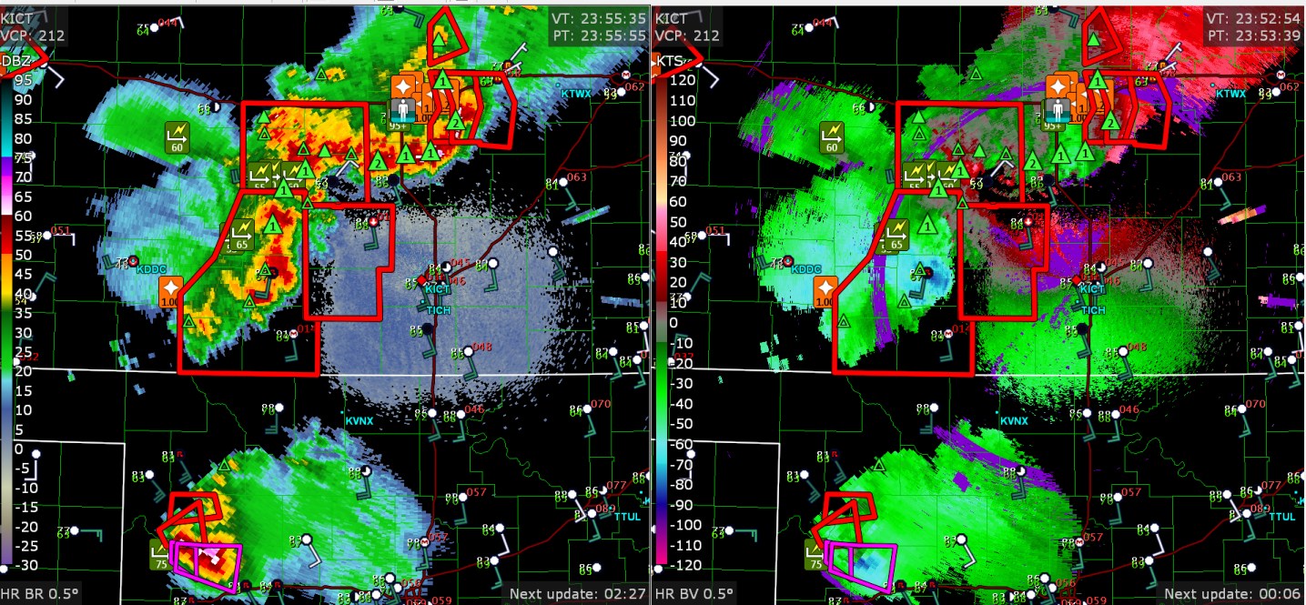
75mph wind measured near Wichita city limits, I assume that was quite possibly the same with some of the power outage areas mentioned Radar said up to 3" hail with the big tornado storm
-
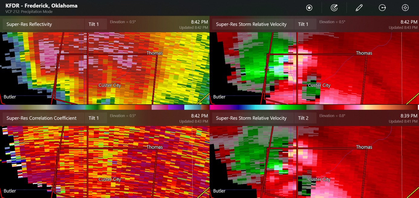
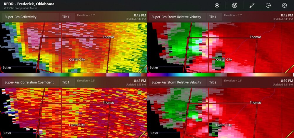
here's the view from KFDR
-
-
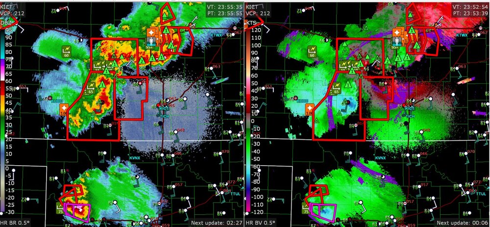
So far there have been many wind reports and hail reports, a 100mph wind at Salina Kansas, flood reports, one tornado warning in Oklahoma
-
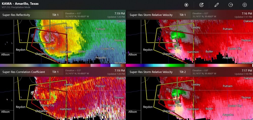
This supercell had the rear flank downdraft wrap all the way around, now there is an unconfirmed tornado warning.
-
SPC says MODERATE risk, including 45% hatched for hail and wind in similar areas. The 45% risk for wind is about twice the size of the 45% risk for hail. (but not extensive)
-
The 00z NAM already has a potent setup for the day-4 forecast (72 hours, Sunday night)