Stormlover74
-
Posts
24,011 -
Joined
-
Last visited
Content Type
Profiles
Blogs
Forums
American Weather
Media Demo
Store
Gallery
Everything posted by Stormlover74
-
Yeah you want the gfs suppressed at this point
-
Gfs all alone what could go wrong
-
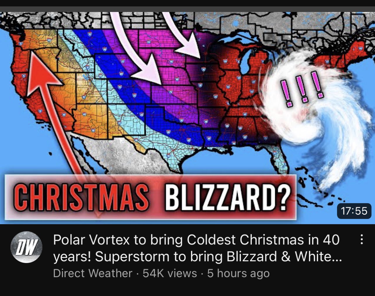
At least Christmas will be cold
-

12/15 - 12/16 Coastal/Winter Storm & Observations
Stormlover74 replied to Northof78's topic in New York City Metro
Heavy rain continues. Up to .75" in the bucket -
Ugh accuweathers already hyping it
-
Anythings on the table 8 days out
-
It does turn to rain for LI on the gfs
-
Gfs 970 off cape cod next week
-
Its a solid snowstorm on the euro..4 to 8" variety
-
12/15 - 12/16 Coastal/Winter Storm & Observations
Stormlover74 replied to Northof78's topic in New York City Metro
They just flipped to snow in state college -
Coastal crusher on the gfs
-
But at least then we have a shot at something big like 83 or 2016 rather than 98
-
I'll take a light to moderate event 2 days before Christmas (similar to 98)
-
Central Park had .1" as of Christmas day
-
The coast is toast
-
Maybe we should punt to January and start the thread early
-
Doubtful. Only the cmc has frozen but it is 10 days out so time for improvements
-
They said mid December...just not which year
-
yay more rain
-
Most of the area saw little until 1/22 but yeah some spots picked up something in late December
-
2004-05. Ended up with over 40
-
Every bad winter has one of those storms in mid to late january
-
Nope, too localized https://en.wikipedia.org/wiki/List_of_Northeast_Snowfall_Impact_Scale_winter_storms