

Stormlover74
-
Posts
20,327 -
Joined
-
Last visited
Content Type
Profiles
Blogs
Forums
American Weather
Media Demo
Store
Gallery
Posts posted by Stormlover74
-
-
NAM shows the heaviest tomorrow between 11 and 6
-
10 minutes ago, IrishRob17 said:
I see it appears that Anderson Cooper got busted with bogus reporting too though I haven’t researched to see what the story is.
It was from Ike in 2008
-
Some places reaching the mid 80s today
-
Yeah my parents are in eastern conway near 90 and intl drive. It had to go very near that area
-
TW for possible Waterspout
1151 AM EDT SUN SEP 16 2018

...A TORNADO WARNING REMAINS IN EFFECT UNTIL 1215 PM EDT FOR SOUTH
CENTRAL HORRY COUNTY...

At 1151 AM EDT, a possible waterspout was located just offshore over
Murrells Inlet, moving north at 35 mph.

HAZARD...TORNADO.

SOURCE...Doppler weather radar.

IMPACT...Expect damage to mobile homes, roofs, and vehicles.

Locations impacted include...
Garden City, Socastee, Murrells Inlet, Bucksville, Burgess and
Bucksport.
-
-
29 minutes ago, Mdecoy said:
I guess I just don't understand why people can't bring themselves to admit where there was screw ups.
Its a fact that this didn't hit the strength that it was forecasted to hit. Thats all. And thats huge. It is something we should have learned from last year with Irma.
In most professions, when there are screwups, people get fired. The least that could be offered is , here is what went wrong, here is how we plan to learn from that in the future.
What if it hit as cat 3 or 4 but the surge and rainfall wasn't as bad as predicted? You're focusing too much on the wind and ignoring the fact that the rain and flooding is going to be devastating as predicted. There was nothing to indicate it would weaken as much as it did from a wind perspective.
There's less than a 20 mph difference between a cat 1 and cat 3
-
 2
2
-
-
2 hours ago, Cheticus said:
Found one on my slider last night.
How did it taste?
-
Radar is deceiving. Almost no returns showing up but its raining moderately at the moment
-
An EF-5 tornado is bearing down. Get to the attic!
-
 1
1
-
-
1 hour ago, LibertyBell said:
Seattle? More like Miami lol
Seattle is 63/49 now and only .33 for the month so yeah I wish It was like that here
-
2
-
-
Got slammed last night around 1 am by a cell that just parked itself over the area. Picked up close to 2" combined with the activity earlier in the evening
-
1
-
-
26 minutes ago, psv88 said:
Yea, areas in northern LI continue to get pounded
The New England section of LI?
-
1
-
-
-
Saw some last week. Btw they're called lightning bugs

-
3
-
-
9 minutes ago, NyCwEaThErFeEn said:
U guys are both dumb and that’s not funny people are going to die! Dumb ****s
Not if they evacuate as instructed
-
1 hour ago, Yaz said:
What if Florence hits Florence (SC OR NC)?
What if Florence who lives on Florence Road in Florence NC gets hit by Florence?
-
20 straight hours of precip and not even half an inch yet
-
8 minutes ago, Rtd208 said:
The 12z NAM/GFS still look on track for a 2-4" rainfall event. Mt.Holly seems a bit more enthused then Upton does at the moment with the higher rainfall amounts.
LI doesn't do as well as NJ and PA
-
Nam is 2-4" Sunday into Monday
-
1
-
-
98 At Ewr. Tied for hottest day of the year
-
1
-
-
21 minutes ago, Gravity Wave said:
Yikes.
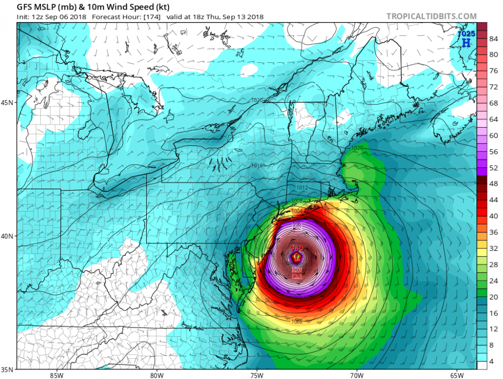
And basically takes 48 hours to go from Delaware to cape cod
-
1
-
-
30 minutes ago, NewYorkweatherfan said:
I’m sorry but In no way in hell is New York metro including Long Island part of mid Atlantic. It’s just not! We have a way different climate here. It’s a different region. Simple as that!
Well you're not New England so where else are you?
-
Normally I'd say Thursday would be our last 90 Of the season, but this year I won't count out more heat until October


Predict the Date: First Bonafide Nor'Easter of the Season
in New York City Metro
Posted
Did we get one last year?