

cheese007
-
Posts
1,637 -
Joined
-
Last visited
Content Type
Profiles
Blogs
Forums
American Weather
Media Demo
Store
Gallery
Everything posted by cheese007
-
Given the past 5 years, I'll believe it when I see it
-
Wouldn't be much further west to put Dallas in the 30%
-
Tornadoes followed by a snowstorm would be peak Texas
-
Coldest highs for DFW in most 10 day forecasts are in the upper 50s at the coldest. Might hit the 70s later this week. Makes me dread the summer
-
Might as well get severe season started early!
-
MO/KS/AR/OK 2019-2020 Winter Wonderland Discussion
cheese007 replied to JoMo's topic in Central/Western States
Dallas is in the midst of its longest snowless streak on record. Previous was 4 years and this winter is looking to extend that to 5 -
9th warmest Christmas on record for DFW. 5th winter straight with no snowfall is looking ever more likely
-
Don't even have any precip here and I'm supposedly right under a snow band
-
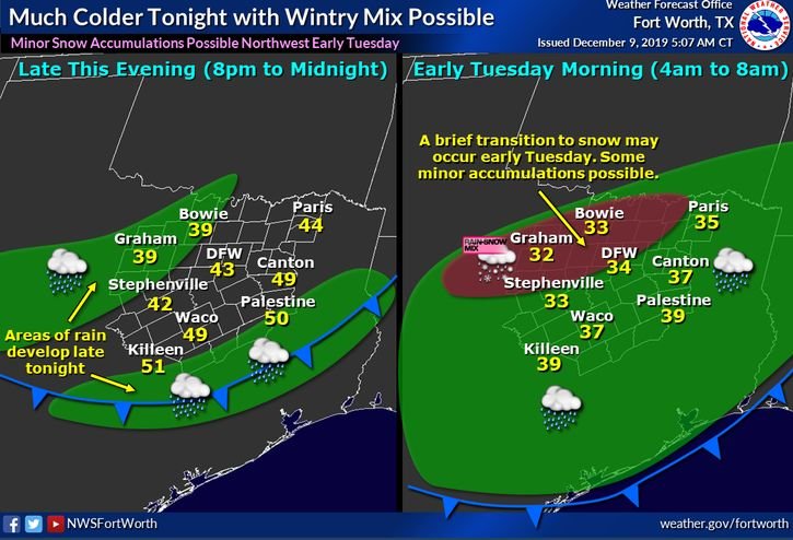
Warm nose seems to have nuked this setup per NWS. Like clockwork
-
It's amazing how close DFW comes to a decent event only for temps to end up juuuust warm enough for snow not to fall. Still an outside chance something falls tonight and it's not even technically winter yet
-
Hmmmmmmmmmmm
-
TV mets already hyping this event. Naturally the potential snow line is just north of Dallas lmao
-
So tired of 33 degrees and raining. So, so tired...
-
15% contour added for parts of NTX up into Oklahoma on Black Friday. Not looking forward to it after what happened during the last event...
-
Feels like that has happened a lot the past 5 years
-
NOAA winter forecast is out. If you're a NTX sniow fsn have I got somr bad news for you: https://www.climate.gov/news-features/videos/noaas-2019-20-winter-outlook-temperature-precipitation-and-drought
-
SPC put out a 15% contour for D4 stretching from Kansas into the DFW metro
-
Hoping you're right
-
Does anyone have any thoughts on winter for NTX? Hoping DFW can break its record snowless streak
-
Plains States Observations and Discussion Thread
cheese007 replied to lookingnorth's topic in Central/Western States
Tornado touched down in Sioux Falls last night: https://www.google.com/amp/s/www.nbcnews.com/news/amp/ncna1052246 -
I'd definitely be double and triple checking any econ data between now and November 2020
-
"The party told you to reject the evidence of your eyes and ears. It was their final, most essential command."
-
You're talking about a president who's only guiding principles are "get power" and "minorities bad." Unfortunately, a sizeable chunk of the country thinks the same way. If anything lies like this make him seem *more* appealing
-
Would be wild of this somehow made landfall on the Georgia coast. Iirc that area is a bit of a climotolagical hole when it comes to hurricanes
-
Nasty looking line of storms on its way past the Red River. Will be interesting to watch


