-
Posts
1,564 -
Joined
-
Last visited
Content Type
Profiles
Blogs
Forums
American Weather
Media Demo
Store
Gallery
Posts posted by PackGrad05
-
-
2 minutes ago, CAD_Wedge_NC said:
Yeah, was just looking at that. Looks like the model is starting to come around.
And that model (at least the maps I'm looking at), ends at 00Z on 1/14. The EPS shows the bulk of the precip 12-24 hours after that.
-
The number of individual members of EPS showing something for RDU increased to around 19/50. The mean also increased to almost an inch.
-
 3
3
-
-
The 12Z EPS is a "west of 85" storm. Anything east of 85 is a trace to half inch at best.
-
The 00Z EPS continued to look decent with almost half the members showing something for RDU. .
GEFS isn't sold yet, with only a couple members showing anything (but at least it isn't blank)
-
 1
1
-
 1
1
-
-
Roughly 16 out of 50 EPS members (1/4 00Z) have at least something for RDU around the 1/15 time period.
This has increased since yesterday's runs.
-
 2
2
-
-
We missed the chance with the prolonged cold. Unless the pattern shifts, we are going to need to rely on great timing with a quick cold blast and a low moving in a favorable path. That's typically what we end up getting anyway. Snow in the morning and melted by the afternoon.
The ensembles do show some members picking up on a system around the 15th.
-
EPS is showing 66 for New Year's Day. GEFS showing 69.
Cool down after that.
Climatologically, timeframe around MLK Holiday is always good for us.
-
 3
3
-
 1
1
-
-
We are still a week or more away. When was the last time we tracked anything that came to fruition 7-10 days away? I’ll write this off once we are within 5 days.
.-
 4
4
-
-
23 minutes ago, wncsnow said:
To me, that looks like a frontal boundary headed east. I would expect that cold air (not as cold, but cold) to move east after this image.
-
 2
2
-
-
That ECMWF image is valid on Tuesday 12/20. From looking at the orientation of the cold, it seems to push in after that. American agrees that the really cold would come 12/25 or after. (I know, we keep kicking it down the road), but we aren't even to January yet.
-
 2
2
-
-
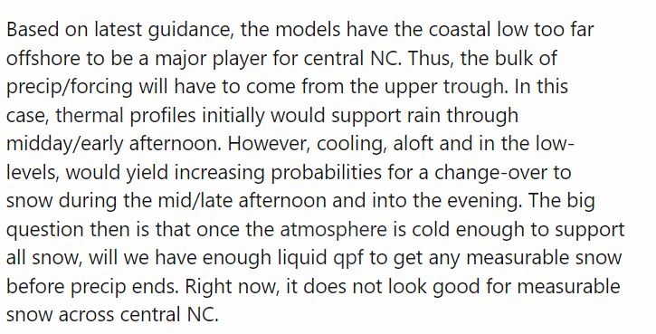
Just noticed the February 27-28 potential. Right now it looks very similar to the way the last system panned out. The low too far offshore and the potential for some flurries as the upper level energy swings through.
Something to watch for sure. -
I still think we get at least one more winter system to track.
-
 2
2
-
-
The problem is, Brad routinely posts vlogs when there is an upcoming system of any significance. In that video, he explains, in an easy to understand way, the reality of the forecast and what may or may not happen. However, people do not take the time to watch or listen and instead will believe a fantasy model they see posted. I'm sure this is super frustrating as a broadcast met.
He is trying to do his best to debunk taking those maps for face value. I think this is a great way to illustrate it.-
 3
3
-
 2
2
-
-
Even the Sunday night round has pretty much vanished. This is a wrap. (For central NC)
-
 1
1
-
-
WRAL futurecasf shows a nice burst of snow Monday morning. They said they are watching that for more impacts.
-
Really the only thing that intrigues me at this point are Monday morning commute implications. Some models (GFS) shows potential for some stuff Sunday night and temperatures will dip below freezing.
-
what did the afternoon EURO and ENS show
-
-
Overall axis/focus point of the precip is the same...difference is QPF.
-
From mike maze:
Both the European and the GFS are still showing some snow on Sunday, which at this time should not stick. The timing on both shows it to be a morning event and so later in the weather should be mostly dry. Tune in at 10PM on Fox 50 to see how this evolves. @WRALWeather
-
European ensemble shows 10% chance of Raleigh getting 1 inch.
-
 1
1
-
-
WRAL just said odds are increasing this afternoon. However warm ground temps would limit accumulations to elevated surfaces near VA border.
-
-
We had a lot longer period of warm weather in December around Christmas.


.thumb.png.0e7d3a893b8865690089728aa1cf8211.png)


Mid to Long Range Discussion ~ 2023
in Southeastern States
Posted
The 18Z GEFS looks very similar to the 12Z EPS, with most of the good snow being west of I-85...
The GEFS also shows the precipitation beginning on Friday 1/13 and lasting until 1/15.
Temperatures too warm for central NC. EURO shows highs near 37 on Saturday during bulk of precip. Triad and west stays around freezing.