Chris78
-
Posts
5,223 -
Joined
-
Last visited
Content Type
Profiles
Blogs
Forums
American Weather
Media Demo
Store
Gallery
Everything posted by Chris78
-
Somehow the Grey area always finds my back yard.
-
Oh it's a disaster for some
-
@WVclimo@Bubbler86 @87storms @paxpatriot Saturday night will be a blast watching the radar blow up just east of us
-
F that. And all the models show that to varying degrees
-
.7 here. With the warm up coming there's a chance that's it heading into next month lol
-
We've been in the screw zone for several years now. The last couple weeks have been comical and sad for our area. Ready for reshuffling.
-
Yes. For VA and Eastern shore
-
Icon says go f your self to anyone north of DC Sound familiar?
-
When's the warm up? Lol
-
We seem to get screwed in most scenarios out our way
-
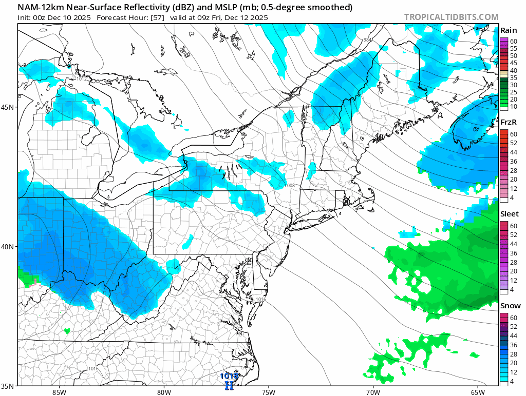
Its pretty comical and sad that most models have a dry slot right through our area for the Saturday night system. Snows good west of here then regenerates to the east. I guess there's some downsloping going on there, most of the models show some version of that scenario.
-
Northern MD shut out from both systems on the GFS lol
-
Nam holds together a little better but loses alot of juice coming over the mountains. Hopefully we can beef this thing up a bit.

-
Does it have it but to north on Sunday?
-
This. In previous years Canada was torching so even when we did get a decent H5 pattern the airmass still wasn't great. Looks like good cold air in Canada to tap into. Obviously all subject to change but it's not a close the blinds look at all. And for your yard and my yard when it's been a really cold pattern I don't have any ground truth snow cover to speak of. It's all been south of our area. It's been that way for the last few years really.
-
Still a good track. Solid 1-3/ 2-4. I sign up for that
-
Miss one south , then north. Next Fridays clipper has evaporated. Fun times
-
Wtf is going on in here tonight lol. Some weird stuff....
-
Picked up 2 tenths tonight all the way up here in Northerm MD. Wasn't expecting that.
-
12/2 - .5" 12/5 - .2" Season total .7"
-
Had a great day at Wisp with my Son. Opening day. Light snow off and on all day. I would love to eventually retire there. House prices around the lake are nuts but once you get 15 minutes away from the lake prices become alot more reasonable. Different world out there in the winter once you get past Frostburg.
-
What's great about the 12z euro is 2 clippers are north and 1 clipper south. M/D area in the screw zone for all. Dought it goes down like that but it's comically sad for our area.
-
I might be reaped if that happens....
-
Yeah sounds accurate to me. Something could definitely pop up but looks northern stream driven for the next 10 days atleast. Hoping to get a clipper get underneath of us.
-
I'm heading out tomorrow morning. Can't wait.