Chris78
-
Posts
5,218 -
Joined
-
Last visited
Content Type
Profiles
Blogs
Forums
American Weather
Media Demo
Store
Gallery
Everything posted by Chris78
-
Snow just starting in Thurmont. My wife is reporting Fatties in Smithsburg. Lol
-
Quite an intense band of Snow for Northern MD. Wouldn't surprise me if the Catoctins and PSU land end up with 6"
-
Feb Long Range Discussion (Day 3 and beyond) - MERGED
Chris78 replied to WinterWxLuvr's topic in Mid Atlantic
Nope -
Feb Long Range Discussion (Day 3 and beyond) - MERGED
Chris78 replied to WinterWxLuvr's topic in Mid Atlantic
Right where we want it. -
Icon is a snow model now.
-
Feb Long Range Discussion (Day 3 and beyond) - MERGED
Chris78 replied to WinterWxLuvr's topic in Mid Atlantic
Icon still likes next Friday -
Yes
-
Feb Long Range Discussion (Day 3 and beyond) - MERGED
Chris78 replied to WinterWxLuvr's topic in Mid Atlantic
Which ones have snow from Monday? Can you isolate the end of the week threat. -
Looks like a 4 to 6 hour window for precip. I think the potential of basically a coating to 2" isn't that far fetched. Wouldn't be shocking to see some 2" reports in Northern Carroll and Northern Baltimore counties.
-
2/18-19 3.25" Seasonal total 35.25"
-
.25 over night. Total of 3.25"
-
Feb Long Range Discussion (Day 3 and beyond) - MERGED
Chris78 replied to WinterWxLuvr's topic in Mid Atlantic
Icon says yes -
Feb Long Range Discussion (Day 3 and beyond) - MERGED
Chris78 replied to WinterWxLuvr's topic in Mid Atlantic
Disappointed in the para GFS. Was the coldest and snowiest model. Ended up,the most wrong. -
Ended up with 3.0 here of Snow/Sleet in Smithsburg.
-
Been sleeting in Smithsburg for the past 30 min. Or so.
-
Got some snow mixing back in now.
-
Flipped to sleet in Smithsburg
-
Snow has lightened up a bit in the last 10 minutes. Picked up 1" in the last hour. Total of 2.5"
-
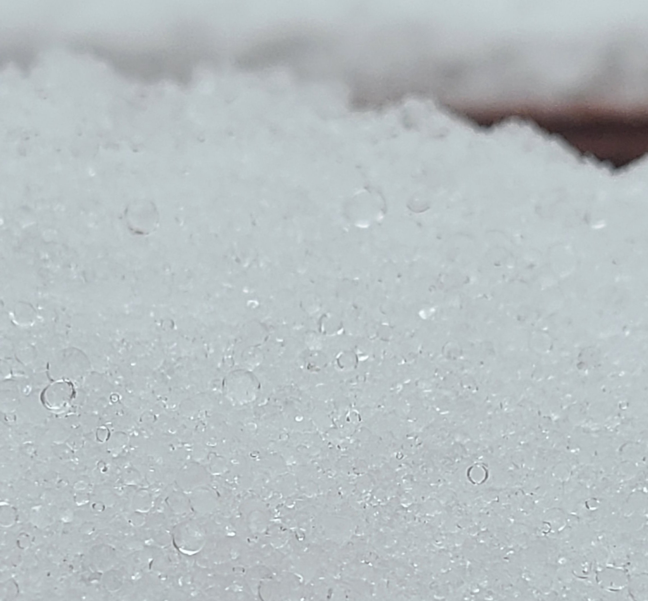
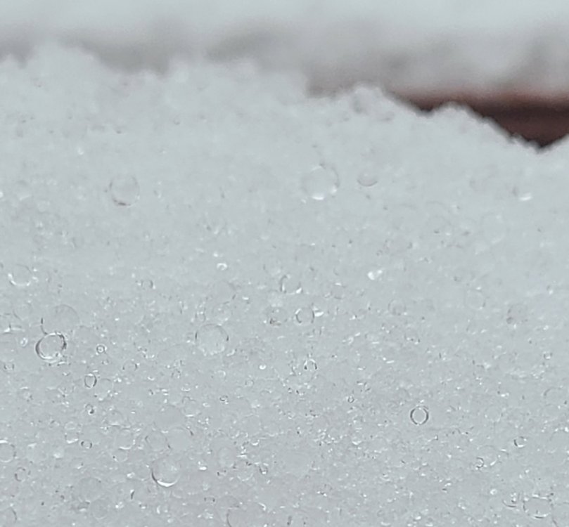
Heavy snow in Smithsburg. 1/4 mile vis. Small flakes but thick.
-
Heavy banding to the SW of me starting to work it's way in. Visibility dropping. Moderate to borderline heavy snow. 21 degrees
-
1.5" so far. Haven't got into the heavy banding that has been just to the SW of me
-
Picked the wrong penthouse this time?
-
Check the GFS out for late next week. next oppurnity for failure
-
21 degrees with light to moderate snow in Smithsburg. Haven't measured yet but eyeballing maybe 3/4 of an inch so far
-
Might be right for the wrong reasons