

CAPE
-
Posts
34,276 -
Joined
-
Last visited
Content Type
Profiles
Blogs
Forums
American Weather
Media Demo
Store
Gallery
Posts posted by CAPE
-
-
58 minutes ago, Maestrobjwa said:
Now, to us layman...there are somethings in whether that are opposite of what you'd expect (like a warmer climate favoring cooler enso...that was mind boggling). The beach blizzards are one of those things. Like...how did those happen?
Ninas during periods where the Aleutian high shifted into the EPO region, bringing cross polar flow. Progressive pattern with baroclinic boundary offshore resulted in later developing coastal scrapers.
-
 3
3
-
 3
3
-
-
The one nitpick on the GEFS and EPS in the LR is the position of the NE PAC low. A GoA trough long term will limit cold air availability, esp if it is strong. Want that to retrograde more towards the Aleutians. GEPS has a much more favorable look there.
-
3
-
-
41 minutes ago, Stormchaserchuck1 said:
Day 10 Euro: NAO is going positive, PNA is going negative..
who cares.

-
13
-
2
-
 5
5
-
-
Turned out to be a crappy weather day here. Light rain moved in much earlier than forecast. 44 and gloomy. 0.15" so far.
-
1
-
-
3 hours ago, WxUSAF said:
On the same page. After the 6th or so we’re at least back “in the game” for something wintry if things align right. That’s about as good as we get usually and especially in December compared to recent years. Hopefully we can time something up.
It still looks like around the 10th on the means for colder than avg temps to work to the east coast after the mild period. It could come on the heels of another storm that tracks to our NW. Pretty typical esp in early winter to progressively step the temps down behind multiple systems. Then we hope for that well timed wave.
-
1
-
-
@WxUSAF kinda just ninja'd me by about 2 seconds lol
-
3
-
1
-
-
Just a reminder for those who feel the can is being kicked- the degradation of the pattern on the pacific side has been consistently forecast and will result in a milder period for early December as the EPO goes positive with a -PNA, and despite the impressive -NAO being depicted on guidance. This period still looks to be pretty brief. A storm around the 5-6th should mark the transition, with colder air advancing southeastward behind it. The period beyond the 6th holds more potential for something wintry as the thermal boundary should be near/south of our region.


-
9
-
2
-
-
Low of 28, then rising temps after midnight with milder southerly flow in advance of the next weather system.
Currently 35.
Looks like a quick shot of rain for the eastern third of the region this evening as that little coastal low off NC tracks north. Could be some 1"+ amounts right along the MA coast.
-
43 minutes ago, Shaulov4 said:
Quick question, while understanding that this will change about a billion times, what is the main cause of this “system” heading due south east? Is it the northwest energy squashing the ridge forcing heights to lower?
The weather we see at the surface is largely a function of the flow aloft. That's how I do my analysis. Top down. Identifying areas of speed divergence/convergence, and regions of confluence/difluence in the flow at 500 mb is a technique to predict where areas of higher and lower pressure will occur at the surface. Looking at the Jetstream level above, and 850 mb level below will also provide clues. Ultimately identifying the location of the thermal boundary between disparate(different temperature/density) air masses is a key indicator of storm track.
-
6
-
1
-
-
22 minutes ago, brooklynwx99 said:
i know this is a LR OP run, but notice how the GoA low continually forces a WC ridge. the confluence over the east allows for a potent coastal. the Pacific pattern is a complete departure from the last few years and is classic Nino

Bowling ball straight across taking the southern route, with no destructive interference from the NS. Nino baby.

-
17
-
1
-
 1
1
-
-
21 minutes ago, Shaulov4 said:
Is this a serious post?
I fear it is.
-
8
-
-
7 minutes ago, frd said:
May emerge in phase 8 at a low amplitude prior to the holidays, meanwhile the AO looks awesome as we head into December.
.thumb.png.a385957f5440e72debd984da1f235889.png)
Kinda scary, but the key indicators look good as we head into early winter. I am more optimistic about Dec than a few weeks ago.
-
17
-
1
-
-
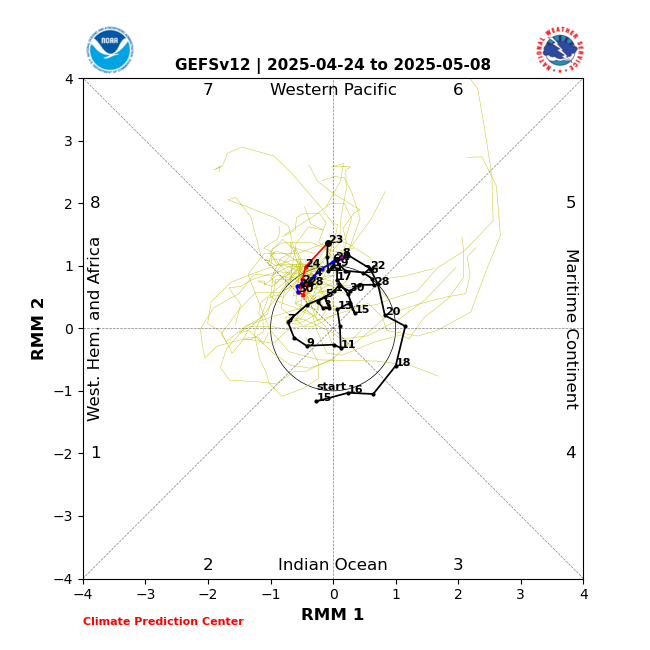
Latest GEFS MJO forecast takes convection into phase 3 then kills it. Previously it was progressing into phase 4 with decreasing amplitude. This is what we would expect to see in a Nino.. the antithesis of a Nina.
-
10
-
1
-
-
High of 43
Coldest high temp of the Fall so far
Currently 41.
-
1 hour ago, pazzo83 said:
NYC with its first freeze overnight last night.
UHI ftl
-
1
-
-
-
There are still indications for a storm on the ensembles for around Dec 6. As advertised there is a pretty classic west based -NAO with lower h5 heights off of Atlantic Canada, but because the Pacific is just transitioning to a more favorable configuration, cold air availability looks limited for this period. An OV track with some sort of coastal transfer would make sense. Highest potential for frozen would be places inland should there be a storm. We should get colder in the days that follow.

-
10
-
-
-
4 minutes ago, Jebman said:
You will get that E-W ridge. You will also get demolished by snow.
All the guidance says it's coming. Lets see of we can get the Pacific right at the same time. Good trends.

-
9
-
-
The ens means continue the idea of trending the PNA positive (to varying degrees) by Dec 7th. They also indicate the EPO trending into negative territory just beyond that.
-
3
-
1
-
-
As advertised this is a textbook -NAO. Higher than normal pressure near Iceland(weak sub-polar low), lower than normal pressure near the Azores(weaker subtropical high). Amplified longwave pattern with anomalous trough-ridge-trough across the N Atlantic. If that longwave pattern locks in for an extended period, then it is considered an atmospheric block.


-
3
-
-
8 hours ago, Terpeast said:
I skimmed through. I think he’s splitting hairs. Would have to read it again with fresh eyes though
Exactly what he is doing. Even by the numbers its a -NAO. Maybe he is arguing that the mechanism by which it forms won't result in a sustained blocking event. I could buy that.
-
6 minutes ago, Ji said:
Are the weeklies out now daily?Yeah its the same as the extended runs now on the GEFS.
-
14 minutes ago, brooklynwx99 said:
i know everyone always whines about the Pacific, but the -NAO and resultant confluence is king for you guys
It used to be the shit. Lately I am not sure, esp for the coastal plain. Seems over here we do better with -EPO/cross polar flow. Doesn't always work out so well for the Fall line points west though.

.png.017194b491e48b7af3e90e3a477e1ae7.png)


November Discobs 2023
in Mid Atlantic
Posted
0.33"
43