All Activity
- Past hour
-

October Comes Early: Late September Multi-Hazard Hybrid Storm
vortex95 replied to WxWatcher007's topic in New England
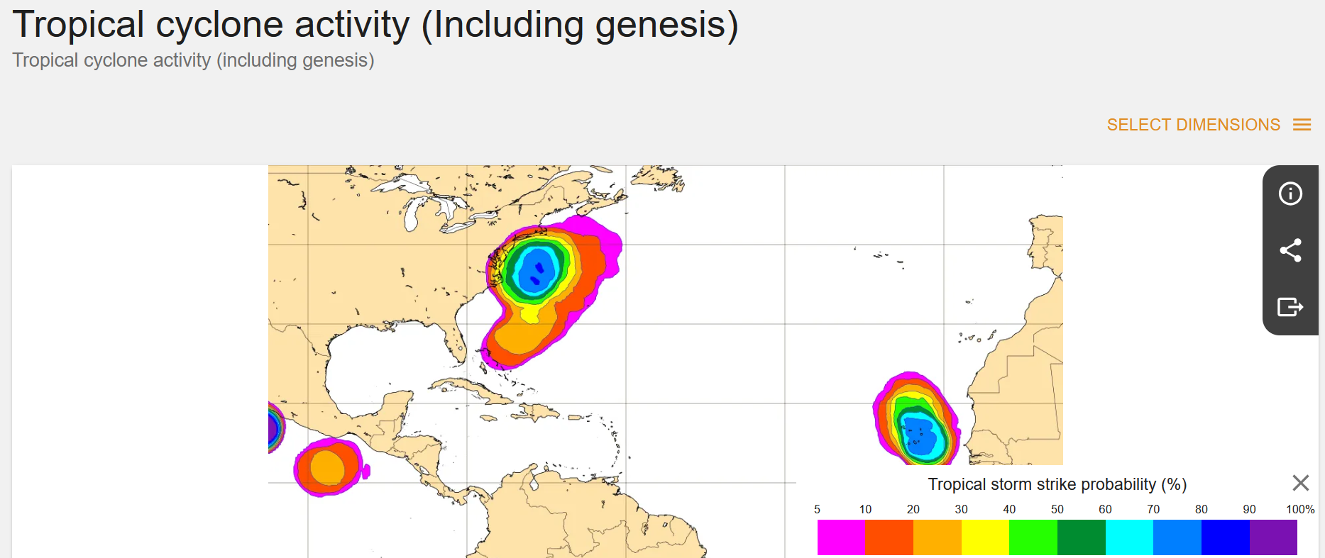
The 00z ECMWF track now given it a sig better chances for going ST or even T w/ it farther S initially. The warm core is very apparent. 20 C at 925, 12 C at 700, and -5 C at 500 when it it close to 39.7N / 71.8W. Those are Sandy profile numbers from recon when it warm secluded and formed a small inner core the day of landfall (looked a lot like the Prefect Storm 1991 hurricane) after looking less tropical since it was in the Bahamas. And as a result, TS development probs has increased significant to as hiugh as 80% (60% on previous run). And yet nothing from NHC on its TWO.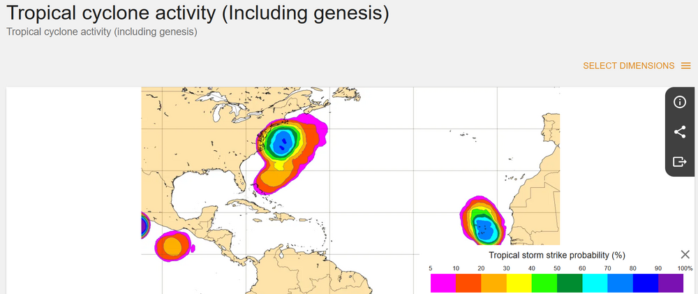
-

Strong Nor'Easter/Hybrid Storm Late September 2026
MJO812 replied to Rjay's topic in New York City Metro
Yep stronger run. Gfs also caved. -

October Comes Early: Late September Multi-Hazard Hybrid Storm
DirtySnowDen replied to WxWatcher007's topic in New England
This is “The Perfect Storm”…..all major models show the eye developing at the 250mb level. Also, considering the tilted nature of its development, it will be a busy day later today. You have a strong tropical Burp crashing into a strong high that splits. With the full moon, this has distaster written all over it for CT, RI and southeastern MA. I’m hungry and I hope I get to eat my words. -

Strong Nor'Easter/Hybrid Storm Late September 2026
Neblizzard replied to Rjay's topic in New York City Metro
0z Euro slams into NJ, widespread 2 inches of rain and strong winds for NYC/LI/NJ -
 canadian pharmacy rx or online pharmacy canada canadian pharmacy official site http://www.livebar.de/url?q=https://canamcrosscare.com canadian pharmacy world or https://kamayegaindia.com/user/tpbbxskffj/?um_action=edit п»їcanadian pharmacy [url=https://images.google.bs/url?q=https://canamcrosscare.com]reputable canadian pharmacy[/url] canadian drug pharmacy and [url=http://sotoycasal.com/user/bysphyonce/]п»їcanadian pharmacy[/url] п»їcanadian pharmacy
 -

October Comes Early: Late September Multi-Hazard Hybrid Storm
SnoSki14 replied to WxWatcher007's topic in New England
That's a very subtropical storm structure -
October Comes Early: Late September Multi-Hazard Hybrid Storm
vortex95 replied to WxWatcher007's topic in New England
I can't recall, neither such a strong high and (non-tropical) low pressure in September in these areas. This would be impressive for mid-winter! - Today
-

October Comes Early: Late September Multi-Hazard Hybrid Storm
WxWatcher007 replied to WxWatcher007's topic in New England
Robust but south. Gotta imagine the Euro and GFS meet in the middle as they usually do. -

October Comes Early: Late September Multi-Hazard Hybrid Storm
CoastalWx replied to WxWatcher007's topic in New England
Euro trying for nj again. Lol -
October Comes Early: Late September Multi-Hazard Hybrid Storm
CoastalWx replied to WxWatcher007's topic in New England
Dude trust me. Scotty knows -
 Unnamed Subtropical Storm 1968 85mph 979mb
 -

October Comes Early: Late September Multi-Hazard Hybrid Storm
Cyclone-68 replied to WxWatcher007's topic in New England
Probably a dumb question but what was the strongest sub tropical storm to ever happen in the Atlantic? -
mexipharmacy website: SolMeds Direct - mexican pharmacy online medications
-
mexipharmacy website: SolMeds Direct - mexican pharmacy online medications
-
October Comes Early: Late September Multi-Hazard Hybrid Storm
WxWatcher007 replied to WxWatcher007's topic in New England
Maybe it’s getting a clue, but there’s still a ways to go before we have our well formed low. At the moment it’s still a highly strung out weak low attached to a frontal boundary. -
Wonder if Polo being Polo is downstream pumping to cause a bit more atmospheric friction?... It was not forecasted to get as strong as it did Sent from my SM-S176V using Tapatalk
-
mexican pharmacy that ships to usa: SolMeds Direct - mexican online pharmacies
-

Strong Nor'Easter/Hybrid Storm Late September 2026
TriPol replied to Rjay's topic in New York City Metro
If you don't care, why post? There are people who care. It'll fascinating watching the Titans at MetLife Stadium during a huge wind and rain storm on Sunday afternoon. -

Strong Nor'Easter/Hybrid Storm Late September 2026
GaWx replied to Rjay's topic in New York City Metro
0Z UKMET goes NNE to eastern end of LI and then into SE New England while weakening substantially Mon-Tue -

Strong Nor'Easter/Hybrid Storm Late September 2026
Prue11 replied to Rjay's topic in New York City Metro
Does anyone actually care if this storm hits us or not? For me could care less moderate winds rain we don’t need and coastal flooding is always dangerous -
pharmacy in mexico online: buy from mexico pharmacy - mexican rx
-

Strong Nor'Easter/Hybrid Storm Late September 2026
wthrmn654 replied to Rjay's topic in New York City Metro
Nam doesn't look to bad either. Put it in the books. Tracks much better concrnsus tonight -
Strong Nor'Easter/Hybrid Storm Late September 2026
wthrmn654 replied to Rjay's topic in New York City Metro
Throw in the cmc trying to play with the others but it's too shy and stays out by the cape. -
Strong Nor'Easter/Hybrid Storm Late September 2026
wthrmn654 replied to Rjay's topic in New York City Metro
Yep icon gfs and euro are all identical with exact placement only thing to figure out but they all stall, go west then loop then do something. -
Strong Nor'Easter/Hybrid Storm Late September 2026
wthrmn654 replied to Rjay's topic in New York City Metro
Icon nearly stalls out dropping pressure south of montauk point till ally 12 Sunday then starts crawling west ish