brooklynwx99
-
Posts
6,217 -
Joined
-
Last visited
Content Type
Profiles
Blogs
Forums
American Weather
Media Demo
Store
Gallery
Everything posted by brooklynwx99
-
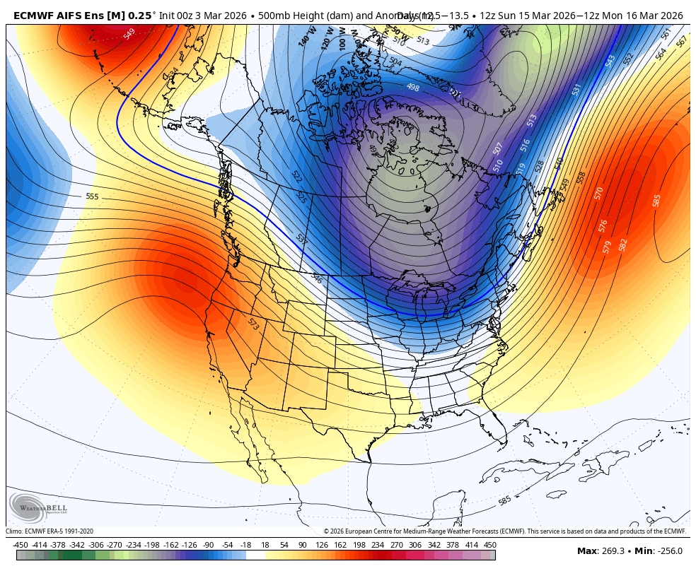
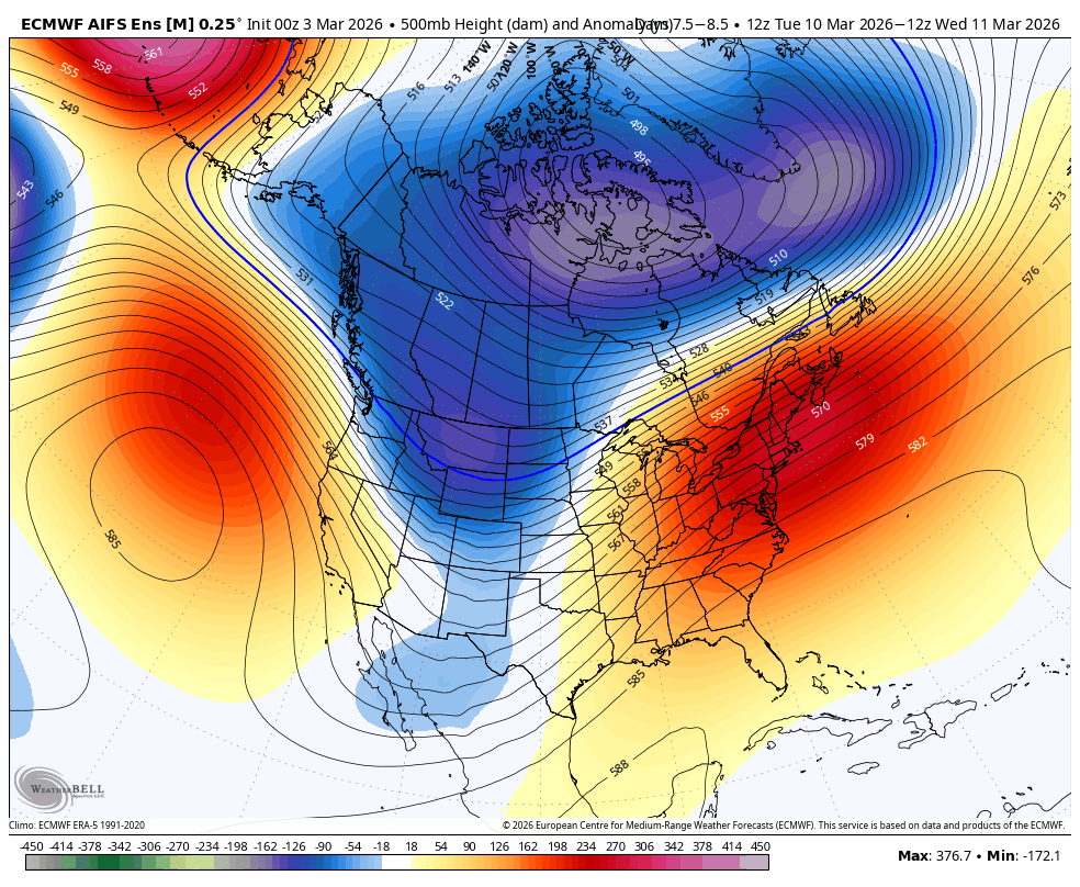
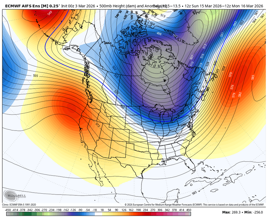
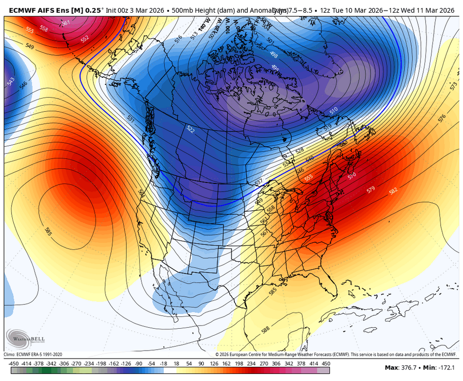
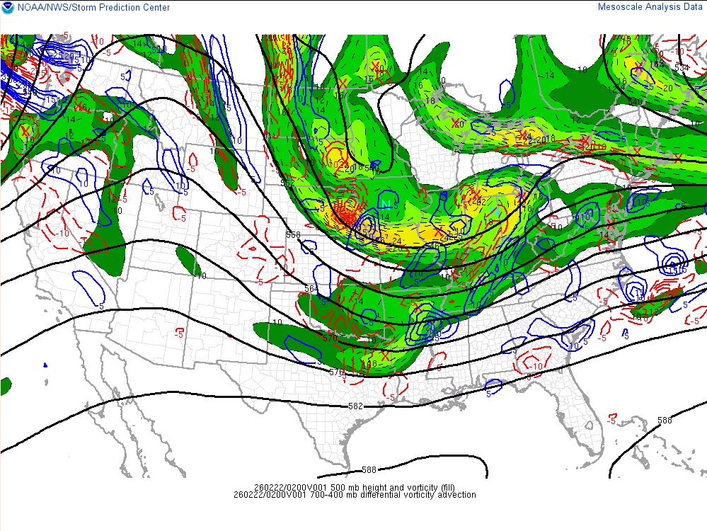
every model has the signal mid-month, worth watching for sure with the ridge rising out west. airmass is better than you'd think with the PV nearby
-
classic spring swing here
-
the snow blitzes this winter are just as much a part of CC as the warm bursts IMO
-
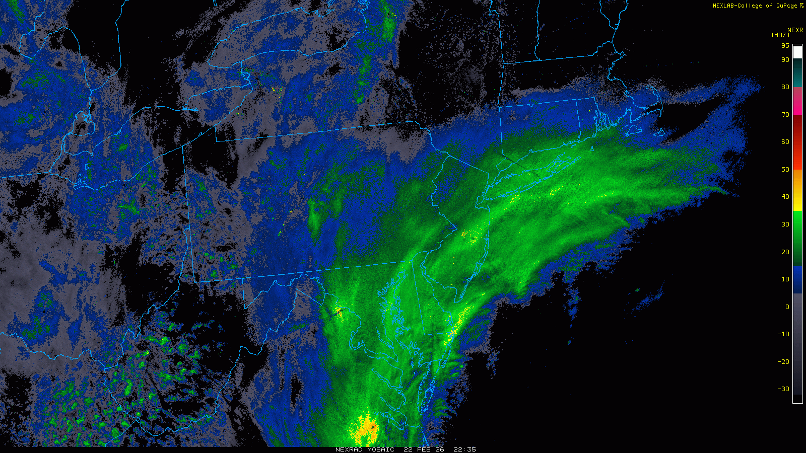
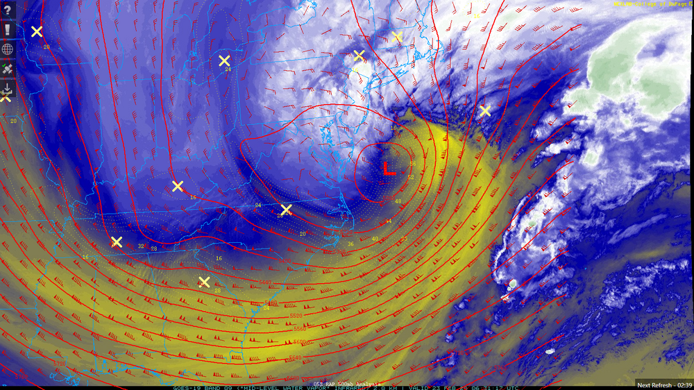
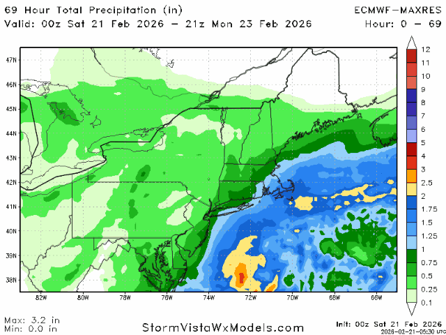
incredible storm, about 13.5" here
-
9" and some of the heaviest snow i have ever seen
-
hang it in the Lourve. absolutely sick
-
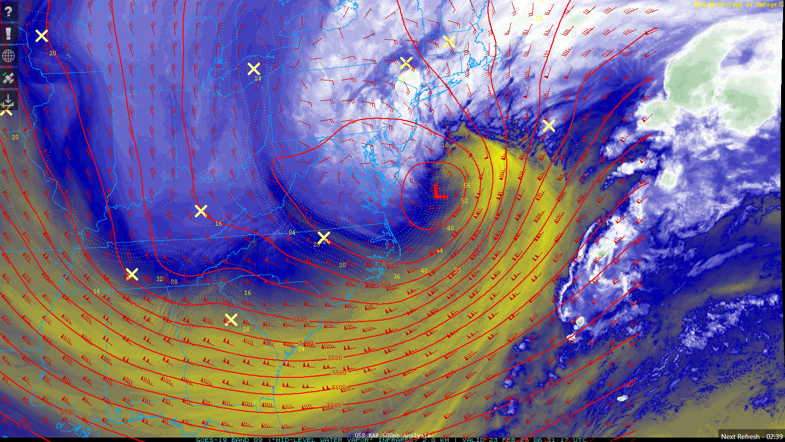
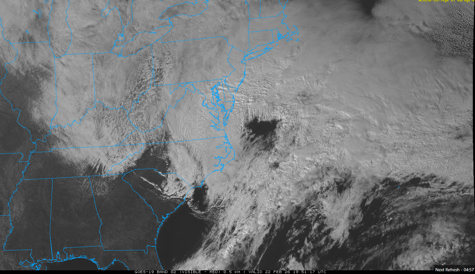
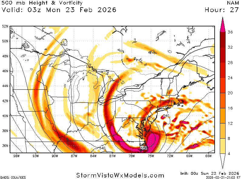
really incredible stuff. the low is just getting started
-
absolute cinema. this will be special for the area
-
rippage about to occur over the next hour
-
radar looks great can see that outer banding popping up over SE PA

-
steady light snow, covering colder surfaces up now
-

“Cory’s in NYC! Let’s HECS!” Feb. 22-24 Disco
brooklynwx99 replied to TheSnowman's topic in New England
this thing is locked and loaded, be sure to enjoy it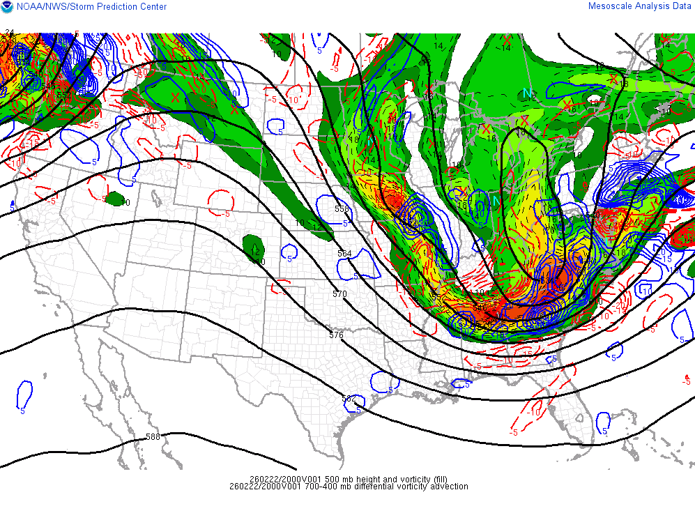
-
be sure to soak this one in, guys

-
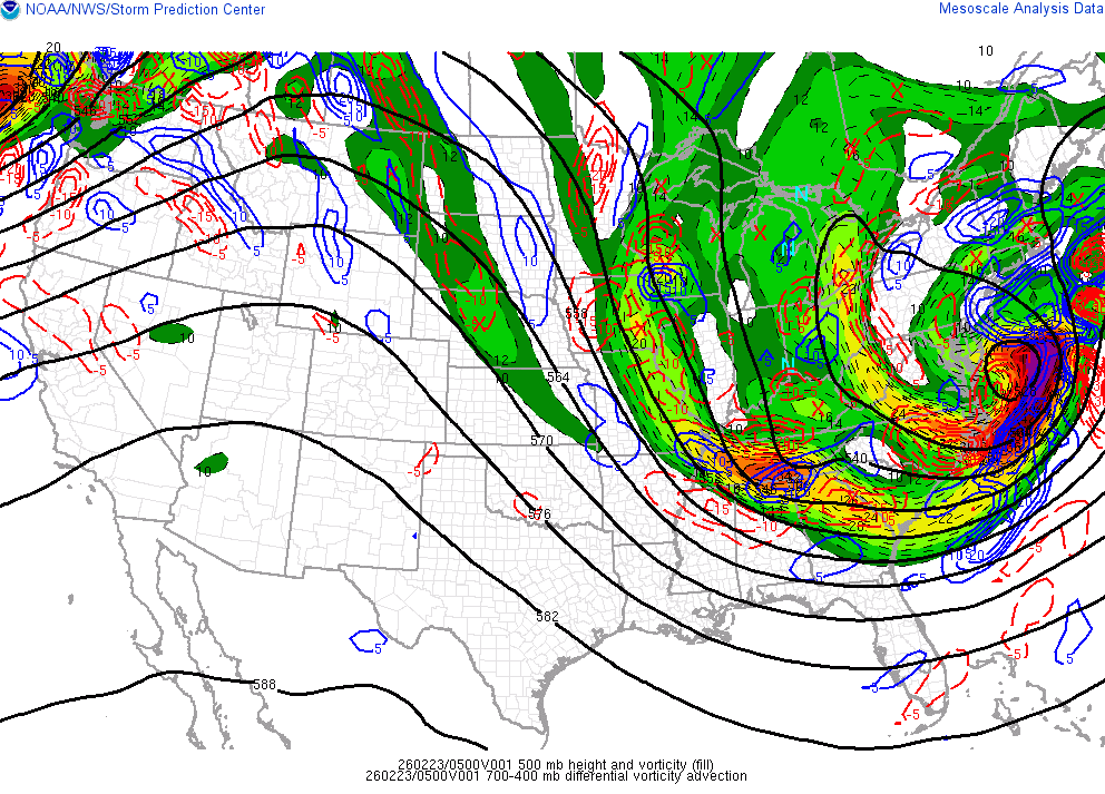
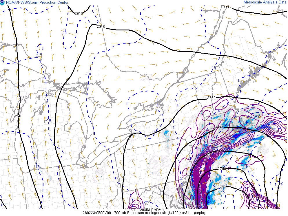
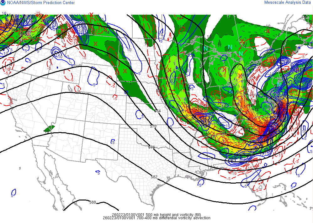
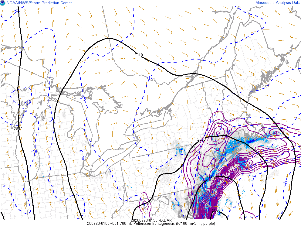
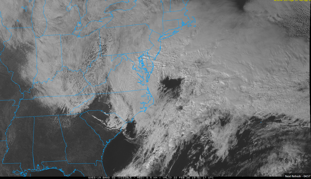
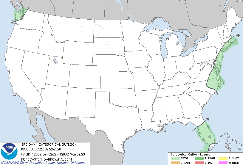
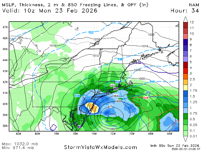
SPC is forecasting a thundersnow risk! ...Discussion... Strong short-wave trough is digging southeast toward the OH Valley late this evening. This feature will phase with the southern stream and induce a surface low off the NC coast early in the period. Intense deepening is expected with this offshore cyclone which will lift north-northeast during the overnight hours. Isolated thunderstorms may develop along the trailing cold front as it surges south across the FL Peninsula during the day, but poor lapse rates and weak buoyancy suggest the risk for robust convection is not particularly high. Intense low-level warm advection will aid the potential for lightning discharge in midlevel convection along the middle Atlantic coast and southern New England. Forecast soundings suggest the majority of this activity will be within heavier snow bands along the northwest-north side of the cyclone. Across the Pacific northwest, significant midlevel cooling and steepening lapse rates are expected along the WA coast by early afternoon. Weak SBCAPE is expected to develop across this region and some risk for lightning is possible with convection that develops within this warm-advection regime.
-
NYC 18.6 LGA 19.2 ISP 21.1 JFK 20.3 EWR 18.1
-
it has never been more happening in the history of happenings
-
lol
-
thing of beauty already
-
lol 3km is just a more pedestrian 12-24" historic blizzard
-
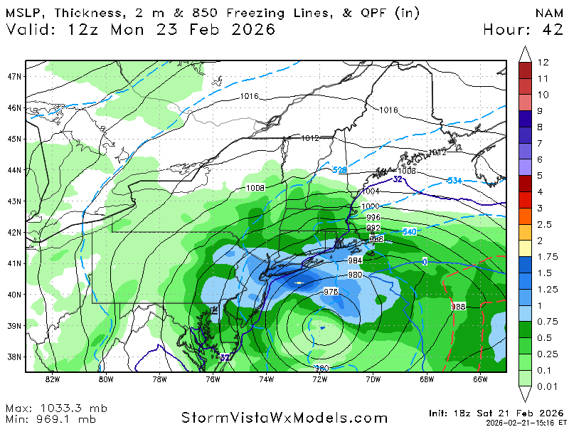
NAM is a fucking climate emergency
-
this will be better than 18z. what the fuck
-
lord
-
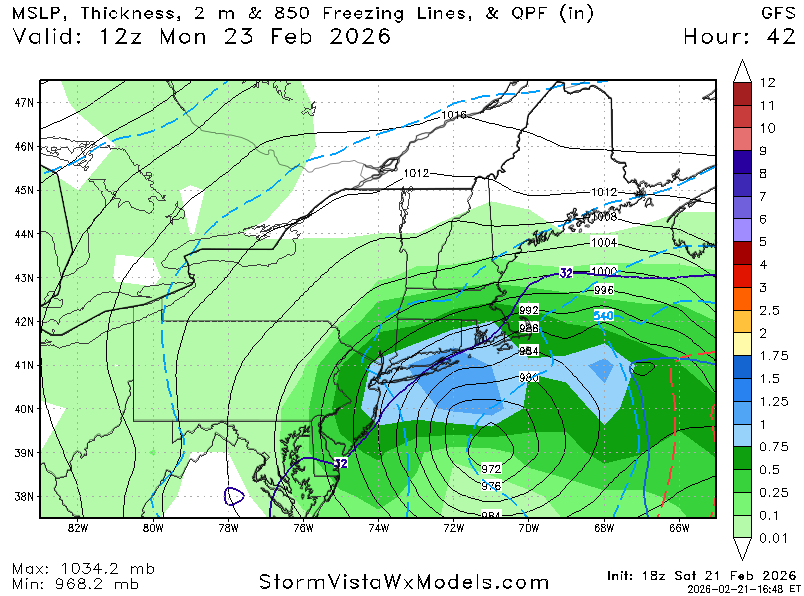
this is just giving me BDB vibes. bombing low in the 960s in the perfect spot, insane dynamics. city is 14-20" at this point IMO
-
lol
-
i have no words