radarman
-
Posts
14,474 -
Joined
-
Last visited
Content Type
Profiles
Blogs
Forums
American Weather
Media Demo
Store
Gallery
Everything posted by radarman
-
Wow, pushing 140kts FL
-
Yep, 2 in ICU in the entire Baystate system. https://www.wwlp.com/news/health/coronavirus-local-impact/baystate-health-42-hospitalized-patients-with-covid-19-2-in-icu/ Zero in the Cooley Dickinson system. And as far as I can tell zero in any other systems out here.
-
Yeah with only 99.3% of W MA ICU beds not occupied by Covid patients and 1 new confirmed case in Hampshire county something had to be done statewide
-
It's a frickin breeze. Plenty of parking. No security lines, Super fast boarding. Rows to yourself. Cheap tix.
-
RIP Sean Connery
-
Maybe 1/14/99 storm you were thinking about? Paper attached 26215320.pdf
-
I directly quoted a chart of Spain and was referring to such. It's similar for France and a lot of Europe. The US is a large, demographically diverse country with different considerations. I stand by my statement that the lag time is long since built in. And obv with more cases come more deaths at a lag, but there is zero doubt that CFR has fallen drastically based on those graphs.
-
look at that chart again... Cases have been setting daily records for 2 Mos. Yes, I know asymptomatic testing is a factor. But the case spike is not new.
-
The chart is probably a lot more telling about socialization habits than covid. Chicago is masked up and covid is exploding, but nobody knows their neighbors so it's cool. Meanwhile deaths are nowhere close, not in the same stratosphere as the spring. So either a) the virus has weakened b) the treatments have improved c) vitamin d helps a lot d) the weakest are already dead e) way, way more people had it in the spring than they knew about f) all of the above Regardless, deaths don't lie. It ain't what it used to be, a fact we should celebrate not deny.
-
European masks must really, really suck.
-
VT peeps high fiving eachother over travel bans "they still think this is about the covid LOL"
-
yes. Unfortunately they did away with boat rentals this year however. Maybe they thought covid likes to hang out outside on polished aluminum.
-
Fishing is banned like everything else.
-
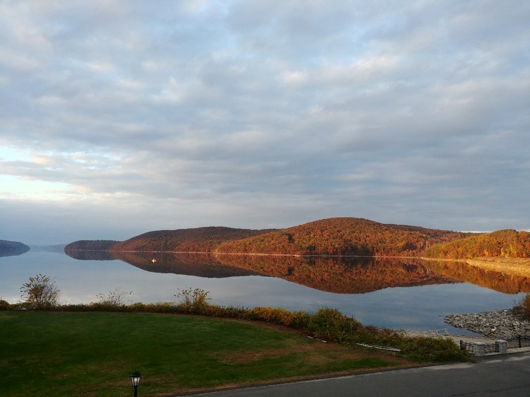
Similar effect here. Quabbin like glass.

-
Honestly, it's probably the single best thing about living here, that and the fact we're in a narrow stripe striking distance to N VT mountains and outer cape beaches. I get over to Quabbin almost daily, relaxing, and seemingly never exactly the same.
-
Have to factor in how much they're getting you for property taxes in the meantime, and the opportunity cost of sinking in the cash. Young investors should probably first make sure the credit cards are paid off, and even consider an extra mortgage payment, especially now that most take the standard deduction on federal income taxes, thus negating mortgage interest / salt deduction. I mean if you have time and the ability to do a lot of building yourself, then it may be a different story. Or if you can pay to build right away and can be a landlord, or have someone you really trust nearby, to get cash flowing quickly. Even then landlording/airbnb'ing a single residential unit not right nearby is rarely profitable IMO, esp in MA where laws are totally stacked for the tenant.
-
How long have you had saddleback condo? Glad to see they're reopening even with covid restrictions. It's been in the fam since shortly before they first closed and has seen very little occupancy in that time. Kind of a random long story how it came to pass, and the fact is not many of us are willing/able to make the haul. A lot easier to chase powder in the greens on day trips. But it looks like a cool place and I think I recall Diane spending a winter or something up there and speaking highly of it.
-
Same. I let the Magic early deadline come and go for lack of certainty. Could really use a big, big SNE winter. I have a slopeside place at Saddleback to use this year. It's a cool 5.5/6hr drive, so suffice to say, it won't be often. Maybe I'll try to make it up to the Loaf at some point, which I have never been to. Stars are aligning I guess.
-
Franklin and Hampshire are in the yellow on the VT travel page, so no soup for us.
-
Powderbeard jackpot
-
I think I would probably sign for that
-
Foliage in Agawam also on fire https://www.wwlp.com/news/local-news/hampden-county/watch-live-fire-near-landfill-off-route-5-in-west-springfield/
-
Another pretty sweet Niehues sketch released today
-
On really cold days when they normally tell you to go inside every few runs to avoid frostbite... will the mountain just close? I mean some hardcore types will gut it out, but I don't envy the customer service folks telling parents no refunds and the kids can freeze or go home.
-
This would be a really great time for 2010/2011 to walk through that door. O how we pray