

radarman
-
Posts
14,474 -
Joined
-
Last visited
Content Type
Profiles
Blogs
Forums
American Weather
Media Demo
Store
Gallery
Everything posted by radarman
-

July 2025 Obs/Disco ... possible historic month for heat
radarman replied to Typhoon Tip's topic in New England
SVR up. Damage reported in Williamsburg -
July 2025 Obs/Disco ... possible historic month for heat
radarman replied to Typhoon Tip's topic in New England
Glad we weren't camping, yikes -
July 2025 Obs/Disco ... possible historic month for heat
radarman replied to Typhoon Tip's topic in New England
God I love this location for severe * At 547 PM EDT, a severe thunderstorm was located over Belchertown, or 8 miles southeast of Amherst But seriously though I doubt this one verifies. Classic SPS event IMO -
July 2025 Obs/Disco ... possible historic month for heat
radarman replied to Typhoon Tip's topic in New England
No peas here but quite a bit of lightning, a good amount of rain, and a nice change to the airmass. Stein, we hardly knew ye -
July 2025 Obs/Disco ... possible historic month for heat
radarman replied to Typhoon Tip's topic in New England
a little bit of storm scale rotation evident as the leading cell moves along 202 through Granby and Btown. Maybe someone could score a few peas? -
About 10 years ago I caught 7 bats in my house until I figured out how they were getting in. Still have PTSD from the first night I woke up to one swooping back and forth over my head in the bedroom. But by the end I was a full on ninja capturing those things. Anyway, beneficial creatures, but no do not have a bathouse.
-
the nam was pretty often the first model to sniff out that the mid-levels are going to torch way inland... I dunno, that's my impression at least, others would be better qualified.
-
Is the rrfs available online so we can see how it does with convection? The 3km is hit or miss to say the least but the hrrr is borderline unusable IMO, at least around here
-
Everybody was so relieved today. Nobody outside this forum wanted another mid-upper 90s day, nobody at all. Not to say they want a full summer of todays but there's a reason everybody in Texas and Florida absolutely hates JJA.
-
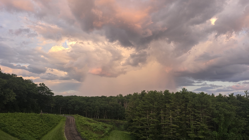
One little pop up storm clipped the south end of quabbin
-
It's a Davis vantage pro 2, so yes, aspirated and radiation shield. But the issue is the siting sucks, scientifically speaking. In order to provide physical security at UMass we elected to put it on the edge a low rooftop. It's not black tar, but it runs a little hot from the surroundings, and UMass is a pit as it is. https://weather.cs.umass.edu/
-
The weather station I installed many years ago broke both its all time high from 7/22/11 today and it's all time heat index, crazily from 9/13/13. 101.7 for a high. High dp was 79 but 74.5 at peak temps. Not saying it's right, but on a relative basis that's impressive for a station that was set up nearly 20 years ago
-
I saw a PWS near the valley bottoms in Amherst earlier that was 98/85 LOL Literally squeezed between cheeks I think
-
Yeah 100/73 is solid
-
Extreme Heat Watches hoisted
-
That line turned out to be a massive fail as well.
-
Fargo?
-
it's super frustrating when the 18z HRRR and the 3km initialize totally off. We already had cells in SNE at hr00 and by hour 1 both could already be tossed. It's like radar data didn't make it in.
-
Wingaersheik is cool but the parking situation is horrendous, especially coming from out here. And unless you're renting a house w/ a parking sticker a lot of the Cape bay beaches are no goes as well. Marconi and Coast Guard, also Salisbury are really the best bets for access. Even Misquamicut can be tough at times in spite of that huge lot.
-
well the 12z 3km gets stuff going earlier out here in W MA and W CT at the expense of the line later on. Goes bonkers with the instability and keeps stuff discrete. Honestly I'm pretty skeptical based on those soundings earlier but look out if it happened to be onto something.
-
decent line through most of CT and W MA mainly south of the pike before falling apart ORH->east It could be overdone, but it's something
-
The best lapse rates are from like 850 to 600 at present, and of course as we heat up and clear out this shallow inversion it'll extend from the surface up. The upper levels are sort of meh. And that applies to both lapse rates and winds. I kind of think the tornado risk may be slightly underplayed, but the severe hail and straight line wind risk might be overplayed. Heavy downpours regardless, albeit hopefully transient enough to avoid flash flood risk.
-
tossed 3km nam has consistently done better for convection here so far this year
-
RIP Gary England Met him more than once. Legend. https://www.oklahoman.com/story/entertainment/2025/06/10/friday-night-in-the-big-town-oklahomas-master-meteorologist-gary-england-dies-at-85/84115807007/
-
Nice. Didn't see that.


