Cold Rain
-
Posts
23,935 -
Joined
-
Last visited
Content Type
Profiles
Blogs
Forums
American Weather
Media Demo
Store
Gallery
Everything posted by Cold Rain
-
What happened to RAH_MET? Also, I'm legit concerned about Packbacker. Can somebody do a Ping or Traceroute?
-
I think there's some issue around this, but it's not happening with me.
-
No, that would be awesome!
-
Nice, Falls. Well, I guess we hit our average for the year and finally broke the single storm 6.0 barrier. Time to crush it now.
-
That would be good. I was hoping we could get the monkey off the back this year. It's hard to believe that they didn't get more than six, given their location and all of the reports of greater than that near that area.
-
LOL RDU still hasn't broken the 6" mark since 2010. 5.9". Haha!
-
I wish Packbacker was here. I hope he’s ok.
-
Better than a sharp stick in the eye.
-
I was really feeling good about it until this afternoon. Usually, when there’s a jackpot zone just west of the Triangle, there’s a cliff through Wake Co., even if the models still show robust totals on the east side. Models try to spread that gradient out too much over too wide an area. I could see Orange Co. get 7” and my area get 1”.
-
4”.
-
Definitely a good point. Would be really interesting if virtually every model missed it within 24 hours. Don’t care as much about temps this time, but slowing the precip down and/or greatly shortening the duration of it is not a happy thing.
-
Haha true!
-
You should comeback as jackerel_sky.
-
Nice. I need a new car so bad. Maybe one day, if I ever get a raise... haha what am I talking about?!
-
Okay. I give. What's the armpit? The southeastern corner of Wake Co. that misses it on all the snow...triangulated perfectly between Raleigh, Garner, and Fuquay-Varina
-
The fried cabbage was the tits. Pizza Inn would have been better. LOL. No mess to clean up. Good point! Plus, the pizzert was amazing. By the way, what’s up with all the weird quoting of quoting of quotes all of a sudden? This just started happening.
-
I'm making fried cabbage with Vidalia onion, bacon, and homemade summer sausage made with deer meat from last season. That sounds good. Why you mad at me for? Lol Ribeyes sound good too. Yeah, we hit that pretty good and then took a break for the holidays. All of them. Bout to get back on it soon.
-
I hate you. Sincerely. Haha sorry man. Come up to the armpit, and I’ll take you out. Only good thing about living down here is Pizza Inn a couple miles from the house!
-
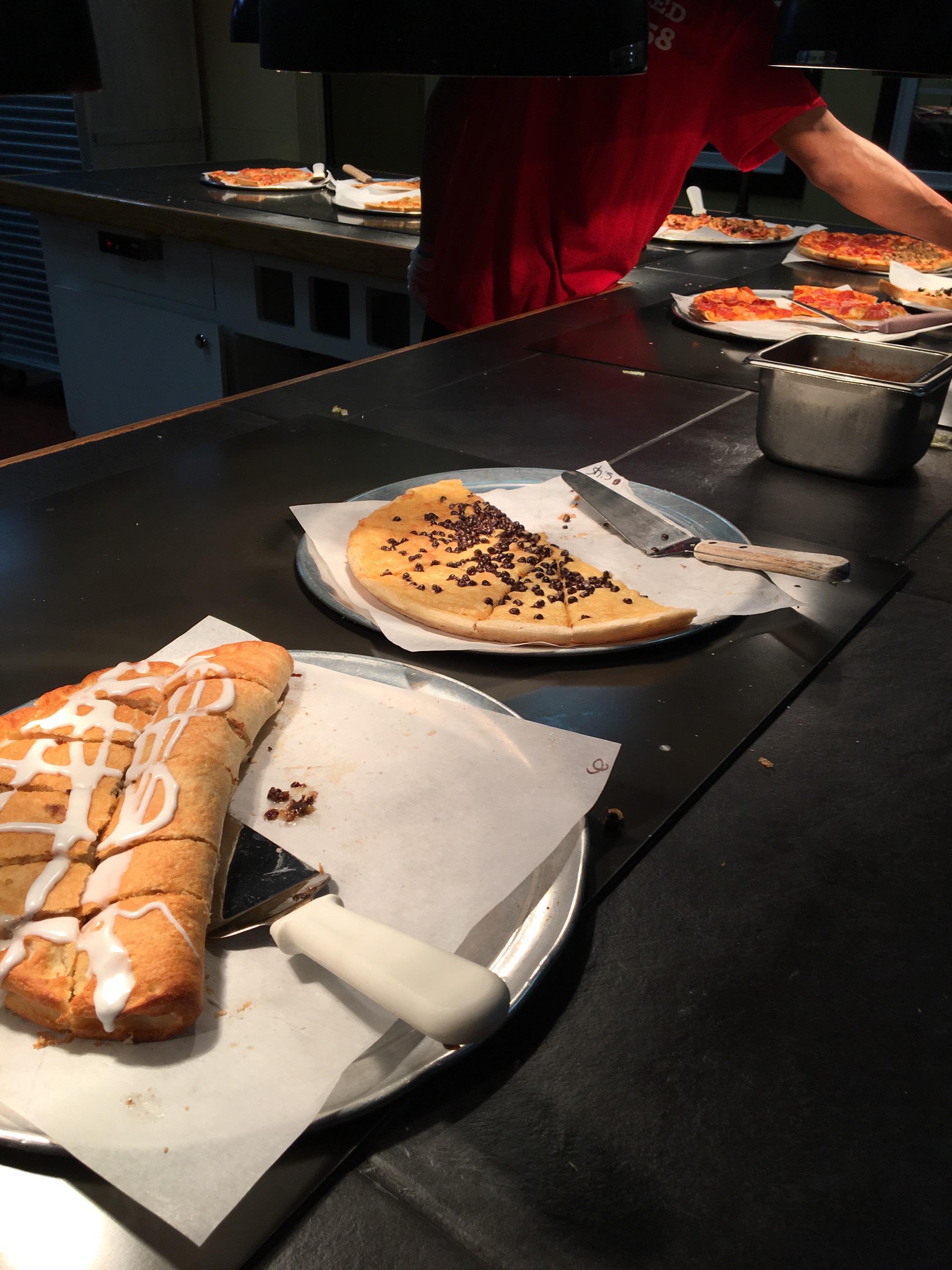
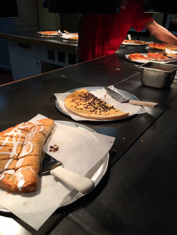
I took 3 pix and couldn’t upload any of them. I had to text them to myself and save them to my phone (again), and then they uploaded...but not before several errors telling me that I could only upload 4.88 mb. I dunno. It was good, though. I hit it hard tonight!
-
-
-
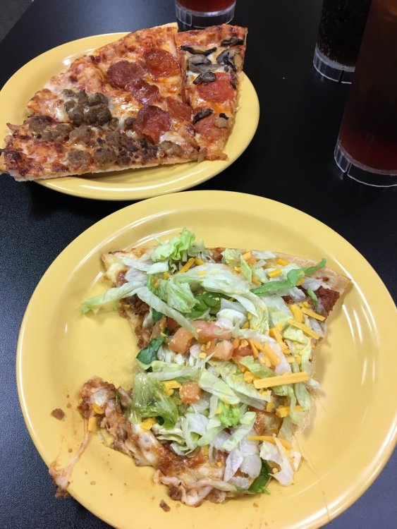
Little appetizer before hitting the buffet!
-
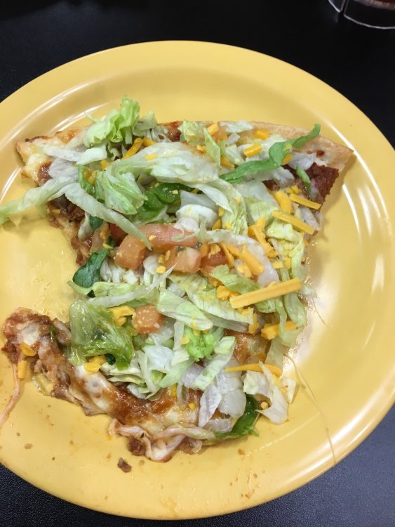
Close! I’ll take photographs and report back.
-
Going some place for dinner that would get a Mack stamp of approval.
-
All this excitement, and no @packbacker! Where are you man??