FXWX
-
Posts
1,441 -
Joined
-
Last visited
1 Follower

About FXWX

Recent Profile Visitors
9,717 profile views


-
 Google New England dark days... Also David Ludlum has a section on dark days in his New England Weather book.
 -
That's what I'm thinking!
-
I'll be in the Ogunquit / Wells area... What are you thinking? Might be able to see great light show off to the north?
-
No way! Drought all the time... Lol. There will be folks complaining by Thursday!!!
-
By a matter of only a few miles...
-
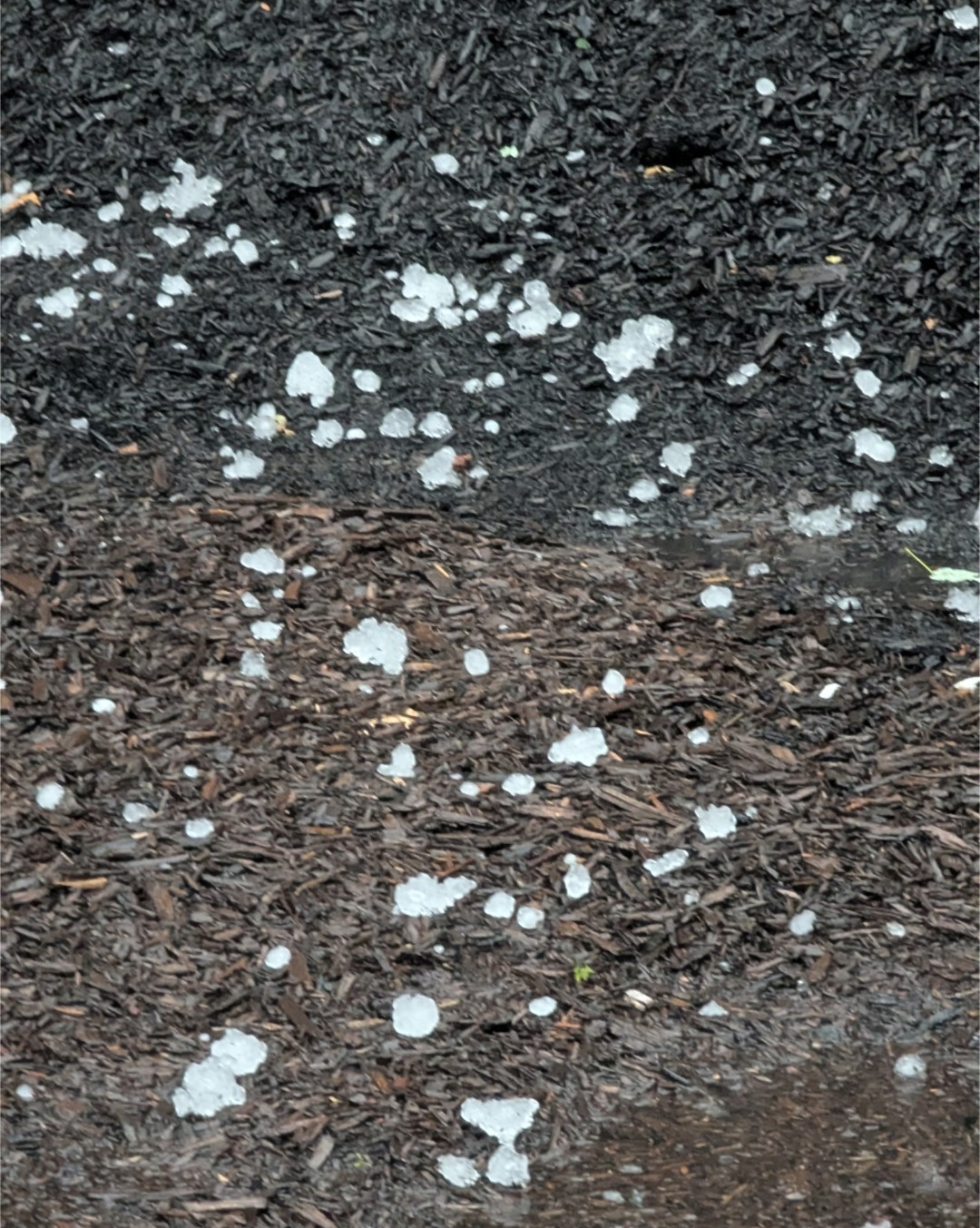
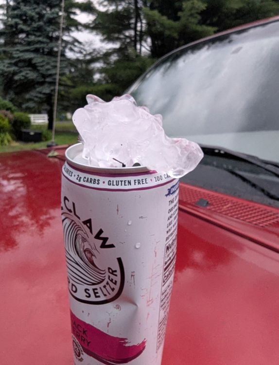
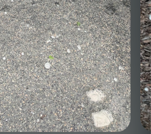
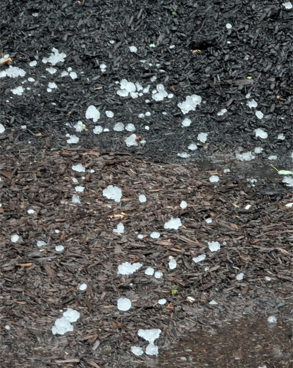
Terryville CT
-
Golf ball sized hail Terryville CT... Numerous trees down in Harwinton, as well parts of Burlington.
-
Here in Burlington CT... 0.75 inch hail; max gust 56 mph...
-
Hey Ryan... If you have a minute text me the link to that product?
-
Lol... I love it John... Spot on!
-
The trailing tor warned cell has a better couplet
-
Agree
-
We've seen this "too much of a good thing" before? Crazy shear values shredding updrafts before they can mature and do any damage. But certainly, an interesting setup with close monitoring needed for fast moving; low-level spin-ups???
-
Some of the best lightning shows I've had have come from nighttime elevated cape events! Not a lot of CGs but lots of CC / CA.
-
It looks like an attempt at some early activity during the 1:30 pm to 3:00 pm period, probably not strong or widespread, followed by a more significant early / mid evening cluster... Lots of folks looking for a perfect forecast from an imperfect science related to thunderstorm initiation & intensity.