DDweatherman
-
Posts
6,037 -
Joined
-
Last visited
Content Type
Profiles
Blogs
Forums
American Weather
Media Demo
Store
Gallery
Everything posted by DDweatherman
-
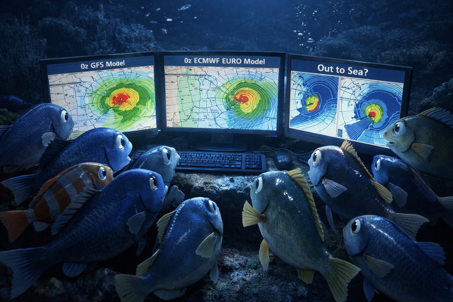
The Jan 31 Potential: Stormtracker Failure or 'Tracker Trouncing
DDweatherman replied to stormtracker's topic in Mid Atlantic
Absolutely does, except his map this time isn’t even the euro lol. Wish he was right…but he’s not -
The Jan 31 Potential: Stormtracker Failure or 'Tracker Trouncing
DDweatherman replied to stormtracker's topic in Mid Atlantic
Does SV have the AI too? Didn't realize since we usually see the pretty maps. -
The Jan 31 Potential: Stormtracker Failure or 'Tracker Trouncing
DDweatherman replied to stormtracker's topic in Mid Atlantic
A lot easier and less misleading. -
The Jan 31 Potential: Stormtracker Failure or 'Tracker Trouncing
DDweatherman replied to stormtracker's topic in Mid Atlantic
I’m not out, but this one is on life support for us. -
The Jan 31 Potential: Stormtracker Failure or 'Tracker Trouncing
DDweatherman replied to stormtracker's topic in Mid Atlantic
There is the right chance for a backside phase. -
The Jan 31 Potential: Stormtracker Failure or 'Tracker Trouncing
DDweatherman replied to stormtracker's topic in Mid Atlantic
How about 18z? -
The Jan 31 Potential: Stormtracker Failure or 'Tracker Trouncing
DDweatherman replied to stormtracker's topic in Mid Atlantic
It’s a bit confusing too. Kicker is somewhat there, but not enough in my eyes to usher things out to sea that way given the h5 leading in. It’s indeed more positive and slightly less sharp on those frames. -
The Jan 31 Potential: Stormtracker Failure or 'Tracker Trouncing
DDweatherman replied to stormtracker's topic in Mid Atlantic
Interesting indeed. I’m looking for the hint, and through that frame I’m having a harder time finding it. Dropping in further west and ridge is pumped a bit higher in the rockies/PNW. Heights slightest bit lower in east but shouldn’t hurt it as badly at that hour. Must show up more in the next frame or two. -
The Jan 31 Potential: Stormtracker Failure or 'Tracker Trouncing
DDweatherman replied to stormtracker's topic in Mid Atlantic
I didn’t look at any h5 to say one way or another, just if something woulda got picked up. Seems like the biggest factor as I said in another comment is basing this off the tilt of the closed UL. Even if this originates a bit west of the prior runs, the real improvement needs to come in the orientation of things with that. -
The Jan 31 Potential: Stormtracker Failure or 'Tracker Trouncing
DDweatherman replied to stormtracker's topic in Mid Atlantic
The tilt is arguably more important than location, especially with the origin of this. -
The Jan 31 Potential: Stormtracker Failure or 'Tracker Trouncing
DDweatherman replied to stormtracker's topic in Mid Atlantic
Not a criticism, genuine question. Would a met reading and doing pbp have been able to see things there and say “well h5 is displaced west of 18z kinda nicely now however XXX happens negating those positive developments” -
The Jan 31 Potential: Stormtracker Failure or 'Tracker Trouncing
DDweatherman replied to stormtracker's topic in Mid Atlantic
Not looking at the runs, but it’s evident everything being west now isn’t everything for willing it closer. The line to be drawn on the coastal obviously has everything to do with tilt of the trough regardless of the location&base. -
The Jan 31 Potential: Stormtracker Failure or 'Tracker Trouncing
DDweatherman replied to stormtracker's topic in Mid Atlantic
Now we’re starting to see where the complexity of this could wreak havoc on modeling.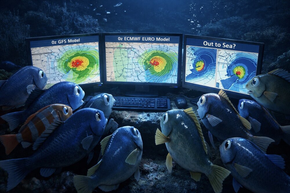
-
The Jan 31 Potential: Stormtracker Failure or 'Tracker Trouncing
DDweatherman replied to stormtracker's topic in Mid Atlantic
It’s there but it’s not that close, weird evolution of the low. Interesting to track. -
The Jan 31 Potential: Stormtracker Failure or 'Tracker Trouncing
DDweatherman replied to stormtracker's topic in Mid Atlantic
Ggem should be an improvement over 12z by the looks of things through h72 -
The Jan 31 Potential: Stormtracker Failure or 'Tracker Trouncing
DDweatherman replied to stormtracker's topic in Mid Atlantic
Yep, even near Asheville to Raleigh would be great. Not a ton of mechanism to yank it poleward per the gfs. -
The Jan 31 Potential: Stormtracker Failure or 'Tracker Trouncing
DDweatherman replied to stormtracker's topic in Mid Atlantic
Yet again, I love how the wide swath is slowly moving closer to the sub. There’s a likelihood the wave itself may not be quite as deep/as far south, even if we get the tilt we want. That would put us all square in the meat and potatoes. -
The Jan 31 Potential: Stormtracker Failure or 'Tracker Trouncing
DDweatherman replied to stormtracker's topic in Mid Atlantic
Can we use our one time on this comeback? We’re 90 hours out… -
The Jan 31 Potential: Stormtracker Failure or 'Tracker Trouncing
DDweatherman replied to stormtracker's topic in Mid Atlantic
102 is a very solid frame, our best one of this “comeback” for a lot of the sub. Even .1” line up to MBY. -
The Jan 31 Potential: Stormtracker Failure or 'Tracker Trouncing
DDweatherman replied to stormtracker's topic in Mid Atlantic
I can tell you with the trough neg where it is and the lobe with the tpv more disconnected…it sure should. I’d have to check where the 850 low is though. -
The Jan 31 Potential: Stormtracker Failure or 'Tracker Trouncing
DDweatherman replied to stormtracker's topic in Mid Atlantic
The youngsters never do… -
The Jan 31 Potential: Stormtracker Failure or 'Tracker Trouncing
DDweatherman replied to stormtracker's topic in Mid Atlantic
F it, let him go. We all learn. We are watching the run and hoping that’s exactly what we say in our heads. -
The Jan 31 Potential: Stormtracker Failure or 'Tracker Trouncing
DDweatherman replied to stormtracker's topic in Mid Atlantic
That is what we want in this case, less yankage, correct? -
The Jan 31 Potential: Stormtracker Failure or 'Tracker Trouncing
DDweatherman replied to stormtracker's topic in Mid Atlantic
Like seeing the precip going that far west this run into TN/KY. -
The Jan 31 Potential: Stormtracker Failure or 'Tracker Trouncing
DDweatherman replied to stormtracker's topic in Mid Atlantic
I hope tomorrow is a long, caffeine filled day for you pal…sorry