LSC97wxnut
-
Posts
1,006 -
Joined
-
Last visited
Content Type
Profiles
Blogs
Forums
American Weather
Media Demo
Store
Gallery
Everything posted by LSC97wxnut
-
Guess those crazy Euro amounts were not that far off?
-
How many named naked swirls have we seen over the years? In the eyes of those who know better, should this count?
-
Loops around south of LI all weekend before finally departing across SNE on a Westerly, RI - Weymouth, MA path Monday afternoon.
-
NAM and all, but maybe not a complete washout for parts of SNE?
-
GFS/AIGFS seem to agree with salvaging west of 495 for Saturday at least?
-
Septorcher 2026 Discussion - Endless Summer
LSC97wxnut replied to Damage In Tolland's topic in New England
Can I selfishly root for this even though I'd usually love to see the Euro and AI's win? Daughter has her first out of state softball tournament in Connecticut this weekend. -
Augdewst 2026: Summer's Last Stand
LSC97wxnut replied to Prismshine Productions's topic in New England
Good to know since we're heading back towards Cotuit soon. -
Augdewst 2026: Summer's Last Stand
LSC97wxnut replied to Prismshine Productions's topic in New England
Pouring in Orleans under that cell. -
Augdewst 2026: Summer's Last Stand
LSC97wxnut replied to Prismshine Productions's topic in New England
Doesn't look like HRRR or NAM initialized great with the rain in CT? Seems to be holding together than forecasted? Were down on the Cape this week. Wonder if it gets here in any significant way? -
Augdewst 2026: Summer's Last Stand
LSC97wxnut replied to Prismshine Productions's topic in New England
Can see it here in Newtonville. Maybe it gets here in some form? -
Augdewst 2026: Summer's Last Stand
LSC97wxnut replied to Prismshine Productions's topic in New England
Kinda neat seeing the sun set behind the high sirrus tops of those storms in CT. -
Tropical downpour with this cell. Some thunder and a little wind. Nothing crazy.
-
They read your mind?
-
Saturday, July 18, 2026 Thunderstorm/Severe Weather Potential
LSC97wxnut replied to weatherwiz's topic in New England
Not sure which thread to put this in, but are the storms in New York all there is for today, or are those supposed to die off and we'll see more later? -
Time sensitive, but it's interesting to see the last plume image before GOES went down yesterday to the first one today. Much further south and doesn't seem as thick?
-
While not the ideal angle, at least the NOAA GOES-West - All States page, combined with the PurpleAir data, gives an idea where the plume is?
-
Yeah, the additional clouds aren't helping, but man it's dark out.
-
Those who know, does that complex coming out of Canada make it into eastern SNE for later this afternoon/evening? Does it hold together like that storm that barged across the Midwest yesterday?
-
I think it was windier earlier today than it is now.
-
Wild... we were driving to the store when we heard the boom. I thought it was a transformer or something like that going off.
-
A few rumbles so far. Will that cell around Sudbury hold together?
-
Just took the pup out for a walk and I wouldn't say it's terrible out. I'll take today over the 49* and sheet drizzle you can get this time of the year.
-
A little sleet mixing in with the cell moving through here.
-
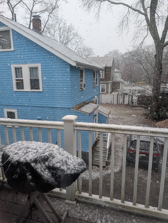
Not bad for 4/7..
-
Sheeh... I want to say it's 1/4S+ in this burst. Just pouring dendrites.