-
Posts
64,390 -
Joined
-
Last visited
Content Type
Profiles
Blogs
Forums
American Weather
Media Demo
Store
Gallery
Everything posted by stormtracker
-

2024 Valentines Day Who the Hell Knows - Comeback Thread
stormtracker replied to DDweatherman's topic in Mid Atlantic
Euro coming in drier so far...seems about the same vs 6z -
This is definitely a low point and things look kinda bleak tbh. But I urge everyone to hang in there until at least this weekend or even Monday 0z. Models are all over the place. If the pattern is looking like shit or we're not tracking by then, I dunno man
- 2,509 replies
-
- 3
-

-
- weenie fest or weenie roast?
- weenies got roasted
- (and 2 more)
-

2024 Valentines Day Who the Hell Knows - Comeback Thread
stormtracker replied to DDweatherman's topic in Mid Atlantic
I think we're cooked with this one. Possible, but not likely at this point. Seems like a far N and W event. -

2024 Valentines Day Who the Hell Knows - Comeback Thread
stormtracker replied to DDweatherman's topic in Mid Atlantic
NYC crew has got to be happy. On SV..looks like a 12+ storm for them -

2024 Valentines Day Who the Hell Knows - Comeback Thread
stormtracker replied to DDweatherman's topic in Mid Atlantic
Looks good for the WSW North and west crew -

2024 Valentines Day Who the Hell Knows - Comeback Thread
stormtracker replied to DDweatherman's topic in Mid Atlantic
Meh. Also drier..there was some noise level south movement, but not enough to help the lowlands -

2024 Valentines Day Who the Hell Knows - Comeback Thread
stormtracker replied to DDweatherman's topic in Mid Atlantic
So, if we get snowTV you gonna hand over the 200. Cool. -

2024 Valentines Day Who the Hell Knows - Comeback Thread
stormtracker replied to DDweatherman's topic in Mid Atlantic
Is this souther or a stay vs 6z? -

2024 Valentines Day Who the Hell Knows - Comeback Thread
stormtracker replied to DDweatherman's topic in Mid Atlantic
Had to look at the NAM again...lol..forgot SV uses hour panels. -

2024 Valentines Day Who the Hell Knows - Comeback Thread
stormtracker replied to DDweatherman's topic in Mid Atlantic
That’s me. WTF!!! I told y’all we should have made the thread and kept it pinned. -
Nah. My generation and my folks loved it. He killed that shit
-
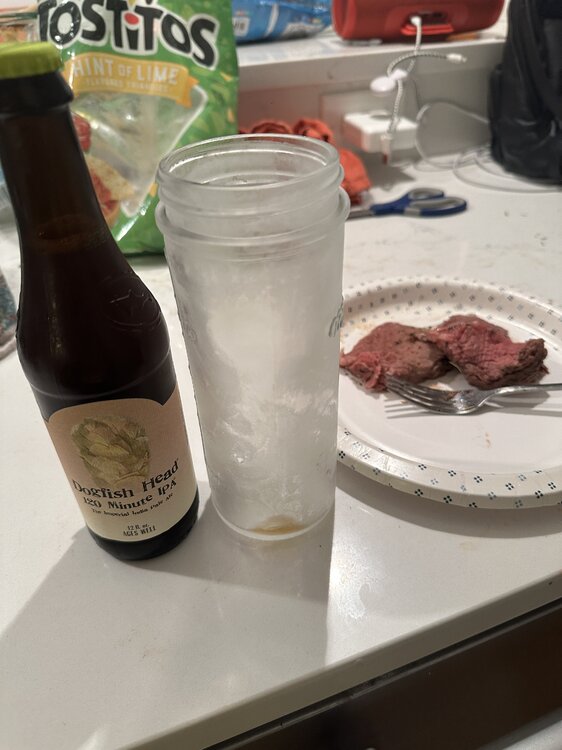
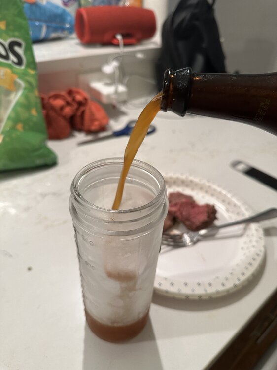
Jesus Christ dude. It’s like drinking beer out of a bourbon barrel. I’m gonna nurse the fuck out of it whooo
- 2,509 replies
-
- 5
-

-

-
- weenie fest or weenie roast?
- weenies got roasted
- (and 2 more)
-
- 2,509 replies
-
- 14
-

-

-
- weenie fest or weenie roast?
- weenies got roasted
- (and 2 more)
-

2024 Valentines Day Who the Hell Knows - Comeback Thread
stormtracker replied to DDweatherman's topic in Mid Atlantic
So can we unpin this thread about Boston's 12"-15"? -
It's going to be glorious. And then we will see all of our fallen brothers and sisters in a heavenly snowball fight. You, @CAPE @Terpeast @brooklynwx99 @Bob Chill et all, take us home!
- 2,509 replies
-
- 6
-

-
- weenie fest or weenie roast?
- weenies got roasted
- (and 2 more)
-

2024 Valentines Day Who the Hell Knows - Comeback Thread
stormtracker replied to DDweatherman's topic in Mid Atlantic
I told you that we shouldn't have made a second thread. -
We're gonna do it son. I'm feeling highly optimistic tonight. Jack Daniels helped a little, ngl. And for those who are gonna comment, I'm only doing Jack because it was left over from a party...and free.
- 2,509 replies
-
- 13
-

-

-

-
- weenie fest or weenie roast?
- weenies got roasted
- (and 2 more)
-
As many of you know, we have lost a lot of your comrades. This is going to be a rough, trying and particularly dangerous situation developing as we wait for the pattern change. There will be tempers, frustration, inter-forum spats, deleted posts and (God I hope it doesn't come to this)...suspensions and bannings. We've got to be strong. Even with this said, we are going to lose many more in the coming week. I have a few suggestions to remain strong in the absence of a clear threat to track. Have a date night. Take your loved one or special person to a fancy restaurant such as Red Lobster, Denny's or ARBY'S. Take your kids to your Parent's. And leave them there. Forever. Take up a hobby such as Legos, Stamp collecting, Onlyfans. Go outside, touch grass. And then grind it, roll it up and smoke it. In all seriousness yall, we just gotta be patient. I hate waiting too, but what choice do we have? Nobody should be tearing apart mets and pros because we can't get snow. We need these people. All they are doing is giving you their expert opinion. You know weather is unpredictable. You knew what you were getting into. There are no guarantees. I'm frustrated too, but give it another week yall. If we're not tracking something next weekend, then yeah...I get it. If and when you do decide to fall, just go into the panic room and do it there. I may be joining you, who knows?
- 2,509 replies
-
- 33
-

-

-

-
- weenie fest or weenie roast?
- weenies got roasted
- (and 2 more)
-

2024 Valentines Day Who the Hell Knows - Comeback Thread
stormtracker replied to DDweatherman's topic in Mid Atlantic
Its over on the GFS...even skunks Philly/NY -

2024 Valentines Day Who the Hell Knows - Comeback Thread
stormtracker replied to DDweatherman's topic in Mid Atlantic
It's pretty funny. Storm is kinda falling apart for everybody per NAM. Let's see what Sir GFS has to say in 30 mins -

2024 Valentines Day Who the Hell Knows - Comeback Thread
stormtracker replied to DDweatherman's topic in Mid Atlantic
It's going to suck. This is one for C and N Pa and places norther on the NAM so far -

2024 Valentines Day Who the Hell Knows - Comeback Thread
stormtracker replied to DDweatherman's topic in Mid Atlantic
Well imma off to make some breakfast. See yall in an hour 10 -

2024 Valentines Day Who the Hell Knows - Comeback Thread
stormtracker replied to DDweatherman's topic in Mid Atlantic
Yeah, NAM is super slow...I'm really not that much further ahead....Im at 42 -

2024 Valentines Day Who the Hell Knows - Comeback Thread
stormtracker replied to DDweatherman's topic in Mid Atlantic
Not looking promising so far


