stormtracker
-
Posts
64,402 -
Joined
-
Last visited
Content Type
Profiles
Blogs
Forums
American Weather
Media Demo
Store
Gallery
Everything posted by stormtracker
-
I'm trying to figure out a realistic timeframe for rebuilding it with full force of federal and state behind it. Can't be under 2 years I would think?
-

Late Feb/March Medium/Long Range Discussion
stormtracker replied to WinterWxLuvr's topic in Mid Atlantic
Looks like a pretty potent rainstorm this weekend. Might as well hope its a soaker since we can't snow anymore. -
In like a lamb--out like a Lion. March 1958 redux long range thread
stormtracker replied to Ji's topic in Mid Atlantic
Go outside. -
In like a lamb--out like a Lion. March 1958 redux long range thread
stormtracker replied to Ji's topic in Mid Atlantic
How we lookin? -
In like a lamb--out like a Lion. March 1958 redux long range thread
stormtracker replied to Ji's topic in Mid Atlantic
Models that can't get 180 hours right in February will 100% be accurate at 306 and definitely snow on March 26. LFG -
In like a lamb--out like a Lion. March 1958 redux long range thread
stormtracker replied to Ji's topic in Mid Atlantic
Get your quarter ready. -
In like a lamb--out like a Lion. March 1958 redux long range thread
stormtracker replied to Ji's topic in Mid Atlantic
Back away. Now. While you can. -
In like a lamb--out like a Lion. March 1958 redux long range thread
stormtracker replied to Ji's topic in Mid Atlantic
NW suburbs. Yay! Enjoy y’all’s paste bomb -
Late Feb/March Medium/Long Range Discussion
stormtracker replied to WinterWxLuvr's topic in Mid Atlantic
Love ya much, but if you get pulled in by a 384 GFS plot in early March, it really is your fault. -
Late Feb/March Medium/Long Range Discussion
stormtracker replied to WinterWxLuvr's topic in Mid Atlantic
I feel sorry for you. You're gonna be up an hour later on Sunday checking models -
Late Feb/March Medium/Long Range Discussion
stormtracker replied to WinterWxLuvr's topic in Mid Atlantic
PSU, tell him "that just won't get it done" -
Late Feb/March Medium/Long Range Discussion
stormtracker replied to WinterWxLuvr's topic in Mid Atlantic
Bring it on. Ji and WW are chasing a mirage. I admire the tenacity but simple logic say that pattern changes take a while. It’s gonna put us into late March. Battling that dreaded sun angle. We’re done, but i ain’t mad at them. -
Late Feb/March Medium/Long Range Discussion
stormtracker replied to WinterWxLuvr's topic in Mid Atlantic
Nah, he's right. The signal was getting better and better as we were closing in and then the bottom just fell out. So yeah, he's right...second verse, same as the first. -
Late Feb/March Medium/Long Range Discussion
stormtracker replied to WinterWxLuvr's topic in Mid Atlantic
-
Late Feb/March Medium/Long Range Discussion
stormtracker replied to WinterWxLuvr's topic in Mid Atlantic
I honestly didn't take you for a masochist. I wanna see your bedroom closet. -
Late Feb/March Medium/Long Range Discussion
stormtracker replied to WinterWxLuvr's topic in Mid Atlantic
I have two left -
Late Feb/March Medium/Long Range Discussion
stormtracker replied to WinterWxLuvr's topic in Mid Atlantic
Agreed...everybody just needs to move the fuck on -
Late Feb/March Medium/Long Range Discussion
stormtracker replied to WinterWxLuvr's topic in Mid Atlantic
On March 32nd. -
Late Feb/March Medium/Long Range Discussion
stormtracker replied to WinterWxLuvr's topic in Mid Atlantic
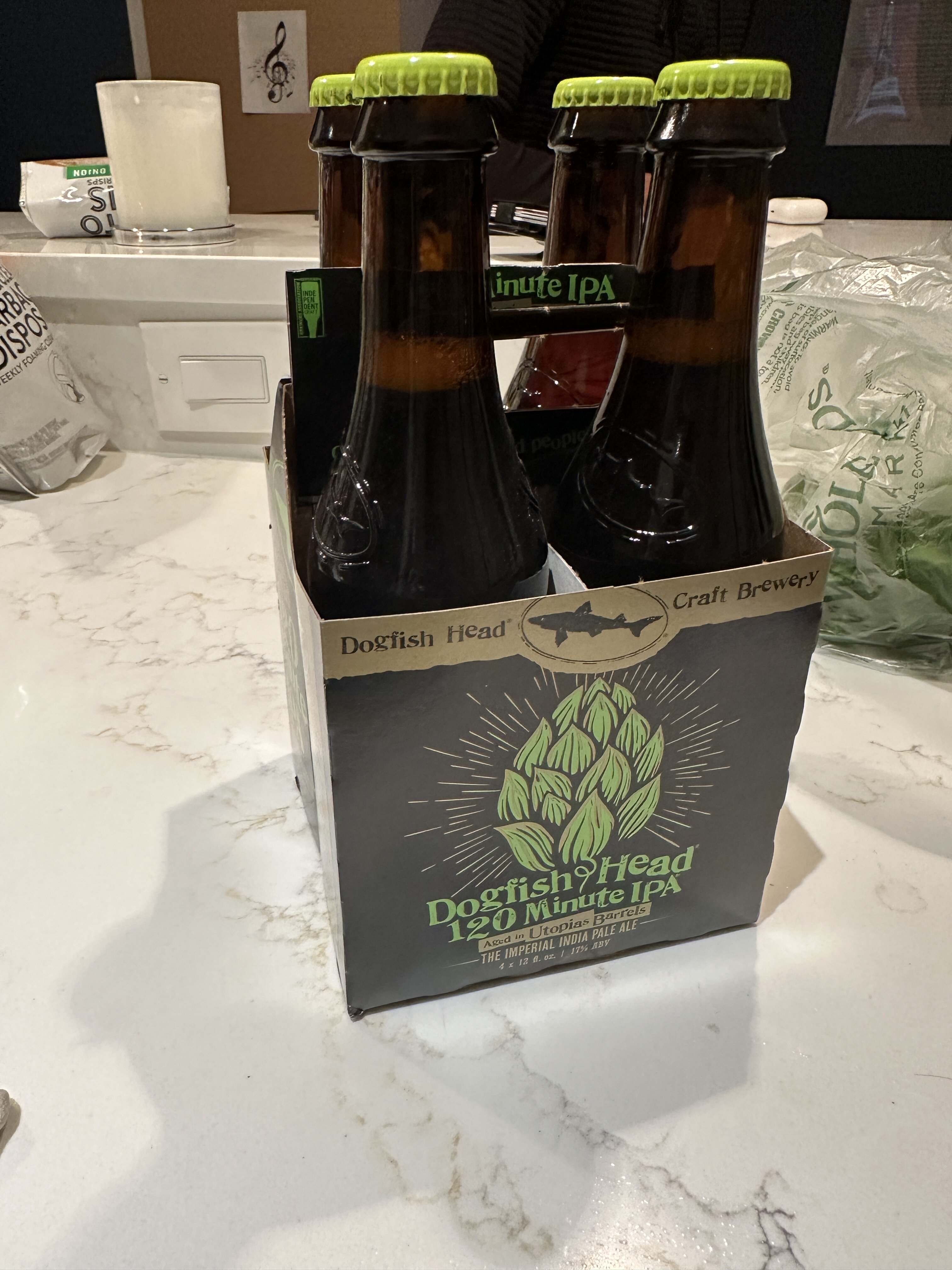
Yup. Mine was finding a 120min IPA source. Mission accomplished. -
Tenley town liquors. Like 20 mins from my spot.
-
Apparently total wine and spirits has it in Montgomery county
-
Late Feb/March Medium/Long Range Discussion
stormtracker replied to WinterWxLuvr's topic in Mid Atlantic
-
Trying another place that uber says has it....wish me luck
-
Noooooooooooooooooooooo