stormtracker
-
Posts
64,391 -
Joined
-
Last visited
Content Type
Profiles
Blogs
Forums
American Weather
Media Demo
Store
Gallery
Everything posted by stormtracker
-
Indeed
-
Just mention Superm*n * in his ban message.
-
Happy Hour lives!
-
You are not long for this board.
-
Patio chair coating from that last little...thing.
-
I caught strays in an argument I wasn't even involved in and have no idea wtf they're talking about
-
-
Wait, what? Why am I catching strays???
-
Trust me, was never even a consideration. Participation medals are cool tho. At any rate, I was you in a group text chat with H20 and mappy. I was distraught that PG County schools closed today. Like seriously.
-
 You're kinda not lying. But at the same time, more population so obviously more talk about that area. Also, there is a ton of posts and mets focused on you guys. I don't get it, but whatever works for you. I'm not opposed.
 -
My sentiments exactly
-
You moved to the new snow capital.
-
Euro has a nice small event for the 12/13th
-
I mean, we really couldn't have asked for better at this stage
-
Have you ever had a Krispy Kreme donut? Are they Krispy?
-
Don't do it Ravens. Seriously. Low hanging fruit. Anyway, decent

-
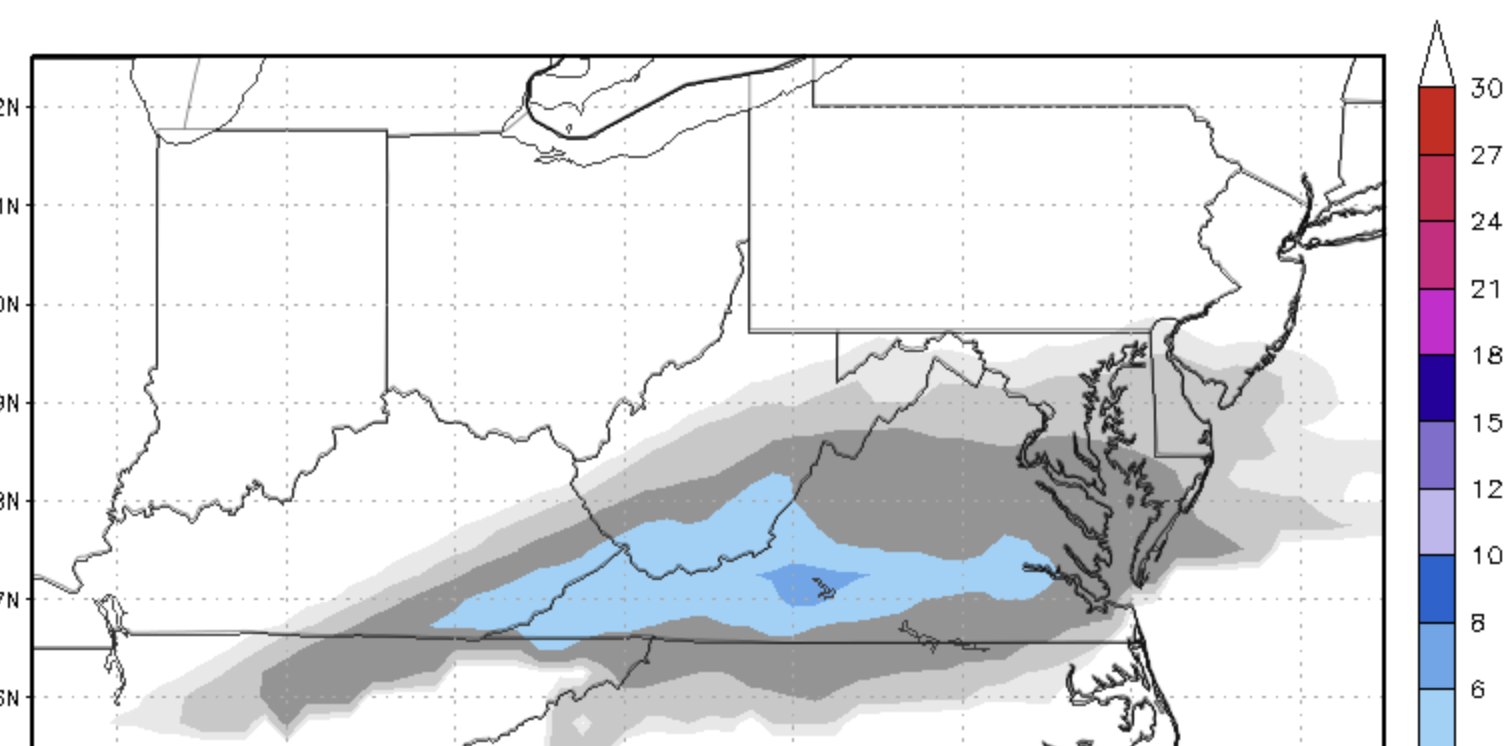
GFS looks about an inch or two along and north of EZF up to along and south of 50
-
Looks like about 1 to 2 from EZF north...3 down there and like 2" up to the DC metro and an inch to the Federick County southern border I mean, yeah, relative to yesterday's runs, I'd buy and not look back
-
Let's not get too carried away here
-
NAM ain't too bad
-
Well...we got our first WWA. So there's that. I guess. Seriously, I will be genuinely happy to see snow falling tomorrow. Not expecting much. Congrats @Terpeast Hopefully the skies will open and puke snow on you and the new family. Also, sign that kid up for the weather board now so I know who to bully when he starts posting.
-
Yeah, Chill Special on this run.
-
GFS not too bad. Gets about an inch up to DC via crappy SV maps...precip shield looks a bit norther
-
I think it’s about time to face the music for us. Imma hang on till after 12z
-
Yall are set. Pipe down