

Kevin Reilly
-
Posts
2,154 -
Joined
-
Last visited
Content Type
Profiles
Blogs
Forums
American Weather
Media Demo
Store
Gallery
Posts posted by Kevin Reilly
-
-
I liked that run better than 12z. Storm south falling as she goes 1004 to 994 to 989 to 978 offshore cold air crashes into those storms.
I think the GFS at 18z is a move towards the EPS and a move back towards our 8-12" storm shown on gfs a few runs back.
The thermals will be taken care of by a developing storm system as she goes.
I am interested again.
-
8 minutes ago, Ji said:
i am not buying the suppression....if you combine the euro and gfs...you kinda get a snowstorm lol
Totally agree with you. It i the case of split the difference the take away is cold air intrusion from the Euro and I bet in future cycle runs we get a GFS solution a few times of 8-12" of snow.
-
4 minutes ago, Ji said:
how does a 997 low in SW tenn miss us south lol
Well we had 994-997 all over the place down in Florida, Alabama, Georgia, South Carolina and how far north did that get.
Looks like we are getting the blocking just the wrong kind LOL and also with no real cold air to boot.
-
Just now, jaydreb said:
GEFS.

Keeps hope alive so I won't jump yet. A week out what can go wrong.
-
February 13th and 14th. I am out. No Cold High up north. Rain! Again this was a bonus wait until after the 15-16th of February.
-
 1
1
-
-
I will keep asking the question? Where is the Cold High up north for the cold air feed? This is a common theme time and time again with few exceptions over the past 5 years or so.
-
 3
3
-
2
-
-
Is that 975 mb?? okay that got real quick drops from 996 mb at Cape Hatteras to 975mb.
Would like to see a cold high up north but that storm is strong enough to pull the cold air down and manufacture it's own cold air.
-
Just now, stormtracker said:
lol, 12-15 just east of DC to the bay. Sigh..obviously can't take the clown maps verbatim due to warm (not toasty) ground temps
lol it's a start.
-
26 minutes ago, NorthArlington101 said:
Surface sucks but everything else checks out. Idk. Interesting for now. Nothing else in the medium rangeOh, I agree I can care less about thermals this far out what's important is that there is a storm pretty much on the benchmark.
-
 2
2
-
-
2 minutes ago, stormy said:
13/14 comes to life on 18z GFS
Yea its great thermals are all messed up though.
-
1 hour ago, NorthArlington101 said:
The control has the one MECS blow through on Mar. 14. I won’t make it that longWell, quite honestly by March 14th pretty much we are done so you better have something to show by then.
-
23 minutes ago, psuhoffman said:
I don’t get the lag talk. The lag is when we have a beast of of TPV and need to wait for the SPV to impact it. The TPV is already in the process of collapse due to pacific forcing combined with Atlantic wave breaking. The SPV collapse will simply prevent a quick recovery and foster additional -nao cycles. This is also very similar to 2010 when repeated SPV hits acted in conjunction with troposphere forcing to create a long lasting and extensive blocking regime.
I hear you! In the meantime, be patient. Go shopping for Superbowl snacks, clear the yard of sticks to light a fire and roast marshmallows. It's coming and we track by next weekend!
-
1
-
-
4 hours ago, RedSky said:
No chance that greasy varmint will see his shadow
Yea he comes out before sunrise! Phil didn't see his shadow early spring! Wait it already has been spring! Wait the can kicking is real!
-
2 hours ago, frd said:
I believe at the peak of the pattern and possibly afterwards for a bit we will have some bizarre storm evolutions, such as loops, stalls and retrogrades. Looks crazy.
Think we are about to see this on February 6th to 7th just not in the right spot too far east.
-
Just now, Ji said:
Expect jb to get out every analog big dog out of his bag
He loves the 1960's for winter storms, hurricanes, and weather patterns!
-
48 minutes ago, Jersey Andrew said:
How does the Pineapple Express about to hit West Coast set up for East Coast as we go further into February.
I love it Pineapple Express??? How is this a Pineapple Express when the flow is not coming from Hawaii. Look at the Water Vapor Map. This "Pineapple Express" is used for one thing especially in this case Ratings!!
Pennsylvania Water Vapor Satellite Weather Map | AccuWeather
-
2 hours ago, NorthArlington101 said:
I don’t know if I look at that and see dead… I see long shot. Seen a few folks on Twitter arguing it’s trending better. We’ve got a cou ple days to make something happenThis is 8 days out. I would not say it's dead yet. If this solution is shown on Feb 4th its dead!
-
7 minutes ago, The Iceman said:
I think the first half of Feb is about the worst possible winter pattern imaginable. Still cold and raw enough to not really be able to enjoy the outdoors but not cold enough for any snow threats, just endlessly slightly above normal temps(upper 40's) with zero snow chances. 2nd half of the month still looks on track to get into a better pattern but how much staying power will it have? Thinking it ends up being similar to the January good pattern. 10-14 days with multiple legit threats and hopefully we land 1 or 2 to get us close to average on the year. After that though, likely on to Spring...
Welcome to April come early! Also when was the last time we had a backdoor cold front in February LOL.
-
Quote
Light wet snow 36.0f humidity 82% dewpoint 30f pressure 29.93 steady wind ENE 7 ground wet.
Snow and rain trace.
-
3 minutes ago, RedSky said:
Mostly cloudy today, tomorrow and cloudy Wednesday to wrap up the cloudiest January ever.
Hmmm what's that a sign of? (I have been talking about it for years) Cloudy days too probably go through April until about April 20th.
-
8 minutes ago, ncforecaster89 said:
Hi Fozz,
Here are the specific seasonal snowfall totals….during moderate El Niño episodes….for the two respective cities.
Comparatively, the years of 1912 and 1914 stand out whereby the snowfall received in Philadelphia far exceeded the amounts recorded in Baltimore. Otherwise, they’re pretty close, overall.
Philadelphia, PA:
2010: 1.5 67.3
1987: 1.2 28.2
1969: 1.1 27.9
1966:1.4 46.2
1964: 1.1 27.5
1914: 1.1 94.1
1912: 1.4. 73.9
365.1” (52.2”)Baltimore, MD:
2010: 1.5 58.1
1987: 1.2 41.7
1969: 1.1 23.3
1966: 1.4 53.2
1964: 1.1 42.9
1914: 1.1 26.0
1912: 1.4 27.8
1906: 1.3 19.5
1905: 1.1 27.6
320.1” (35.6”)
The Philadelphia area is a little off. The yearly snowfall total for 2009-2010 is below as reported at Philadelphia International Airport what's 11.4"?
2009–2010 78.7 -
1
-
-
Cloudy light rain drizzle fog 41f humidity 99% dewpoint 41f pressure 29.70 steady wind NE 14 mph
Total rainfall 0.97"
High so far today was 43 probably after midnight last night temps have held steady all day 39-41f.
Welcome back to December 2023 for now!
-
3 minutes ago, Heisy said:
That annoying Barney shot ULL needs to move east or west, where it’s at now on the euro won’t work. East could allow it to come N, W could allow it to phase better. Still in range where we could see large changes.
."We just can't know?" ....... I don't think any of this is ironed out until at the earliest Tuesday or Wednesday. Like you said lots of time to go!
-
9 minutes ago, MillvilleWx said:
That southern stream wave is juiced. Any appreciable phasing would make this a significant event somewhere east of the Appalachian front. Going to be a tight case, but the bigger events are always about timing. CMC shows a path to victory. GFS still disconnected, but that southern wave is a beast.
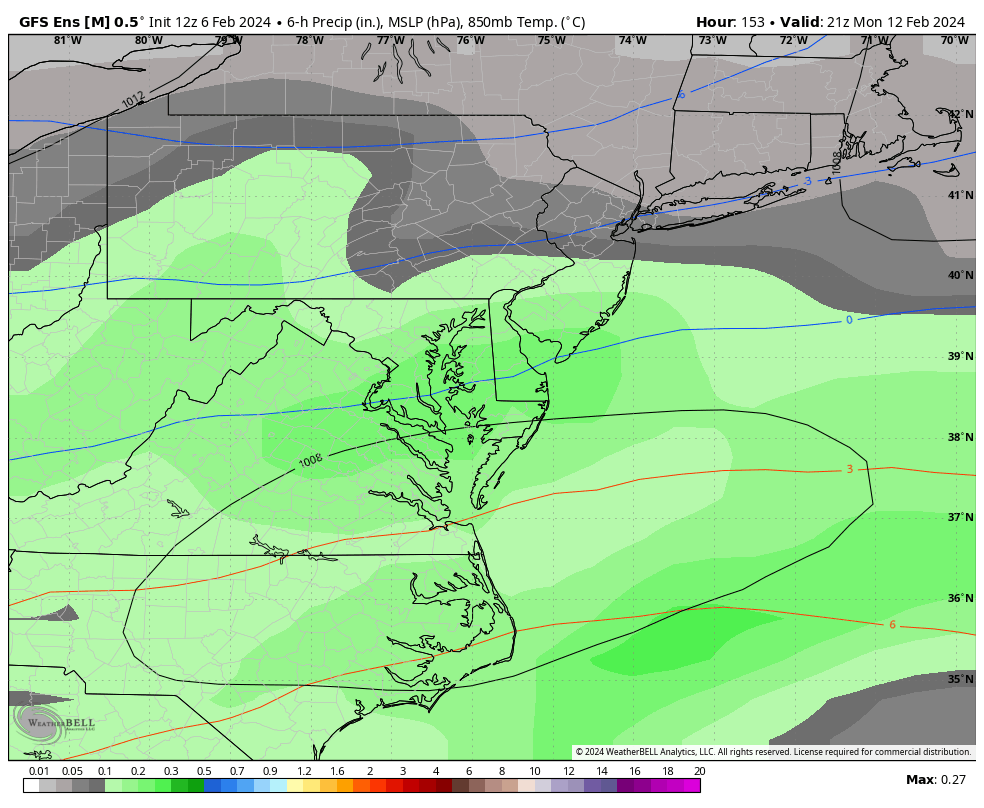
100% agree not too often you have a 993mb-996mb low that far south in Central Gulf to Cape Canaveral I too believe this is probably coming north in time on the GFS all about timing and how the energy ejects out of the southwestern states as it heads across the south.
-
1
-
Mid/Late February will be rocking. (This year we mean it!) February long range discussion.
in Mid Atlantic
Posted
It is coming>>>> "FOLKS"