Met1985
-
Posts
16,911 -
Joined
-
Last visited
Content Type
Profiles
Blogs
Forums
American Weather
Media Demo
Store
Gallery
Everything posted by Met1985
-

2021-2022 Fall/Winter Mountains Thread
Met1985 replied to BlueRidgeFolklore's topic in Southeastern States
Saw big Jim Cantore at the Biltmore Estate gate. -
Wrong thread bro.
-
2021-2022 Fall/Winter Mountains Thread
Met1985 replied to BlueRidgeFolklore's topic in Southeastern States
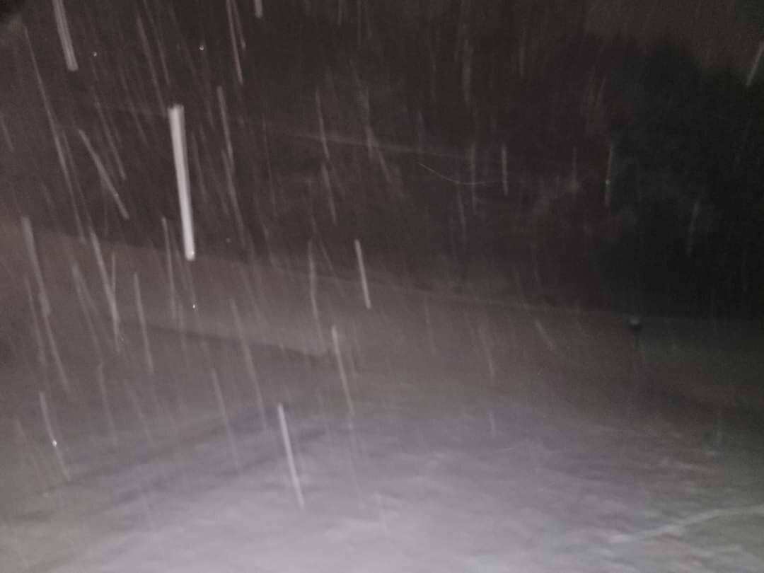
Tiny flakes but the wind is ripping creating a ground blizzard. -
Thanks brick
-
2021-2022 Fall/Winter Mountains Thread
Met1985 replied to BlueRidgeFolklore's topic in Southeastern States
Yes sir same here. You have a bit more than me but I think we make a run at 14 to 18 inches. -
Can you post them brick?
-
2021-2022 Fall/Winter Mountains Thread
Met1985 replied to BlueRidgeFolklore's topic in Southeastern States
Bring it home Don! What a wild ride. -
2021-2022 Fall/Winter Mountains Thread
Met1985 replied to BlueRidgeFolklore's topic in Southeastern States
You the man Ward! Glad you stuck to your gun! Bravo on the forecast and videos! -
2021-2022 Fall/Winter Mountains Thread
Met1985 replied to BlueRidgeFolklore's topic in Southeastern States
Looked like it was going to ease up but back to moderate snow. Temp still at 24 degrees. -
2021-2022 Fall/Winter Mountains Thread
Met1985 replied to BlueRidgeFolklore's topic in Southeastern States
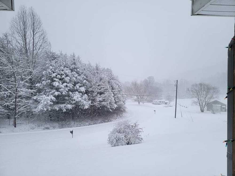
7.5 inches and counting boys! -
2021-2022 Fall/Winter Mountains Thread
Met1985 replied to BlueRidgeFolklore's topic in Southeastern States
Huge flakes coming down now. Probably 1.5 inch rates currently. -
2021-2022 Fall/Winter Mountains Thread
Met1985 replied to BlueRidgeFolklore's topic in Southeastern States
Still hammering here. This is just bliss... This is why we do this fellas. Enjoy every minute of it. -
2021-2022 Fall/Winter Mountains Thread
Met1985 replied to BlueRidgeFolklore's topic in Southeastern States
Yeah im not sure if I want to venture out in that being so far away from home. Too many idiot drivers out there. -
2021-2022 Fall/Winter Mountains Thread
Met1985 replied to BlueRidgeFolklore's topic in Southeastern States
Absolutely! And the EURO and GFS led the way. -
2021-2022 Fall/Winter Mountains Thread
Met1985 replied to BlueRidgeFolklore's topic in Southeastern States
Yes sir absolutely! -
2021-2022 Fall/Winter Mountains Thread
Met1985 replied to BlueRidgeFolklore's topic in Southeastern States
Oh yeah very nice. Im riding this one out at my other home near Bethel. I think I may venture up to little east Fork. They are going to get crushed today then head to max patch tomorrow for the NW flow event... -
2021-2022 Fall/Winter Mountains Thread
Met1985 replied to BlueRidgeFolklore's topic in Southeastern States
Congrats to everyone getting hit hard! This is just the beginning. -
2021-2022 Fall/Winter Mountains Thread
Met1985 replied to BlueRidgeFolklore's topic in Southeastern States
-
2021-2022 Fall/Winter Mountains Thread
Met1985 replied to BlueRidgeFolklore's topic in Southeastern States
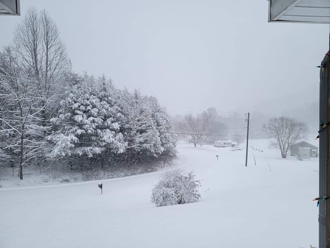
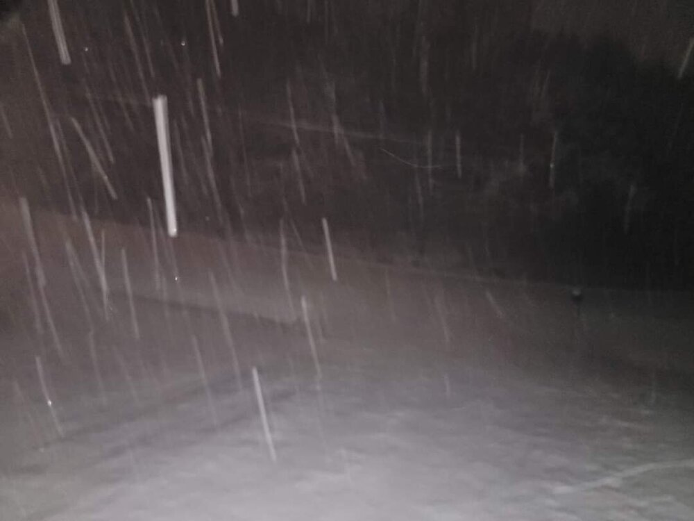
6 inches of snow and counting. Absolutely ripping this morning! -
2021-2022 Fall/Winter Mountains Thread
Met1985 replied to BlueRidgeFolklore's topic in Southeastern States
Was just going to say whiteout conditions for sure. -
2021-2022 Fall/Winter Mountains Thread
Met1985 replied to BlueRidgeFolklore's topic in Southeastern States
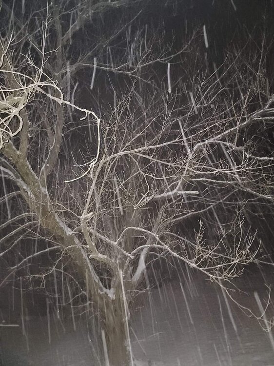
Yeah medium sized to large flakes and hammering. Another 6 to 8 inches would put me right at a foot... -
2021-2022 Fall/Winter Mountains Thread
Met1985 replied to BlueRidgeFolklore's topic in Southeastern States
-
2021-2022 Fall/Winter Mountains Thread
Met1985 replied to BlueRidgeFolklore's topic in Southeastern States
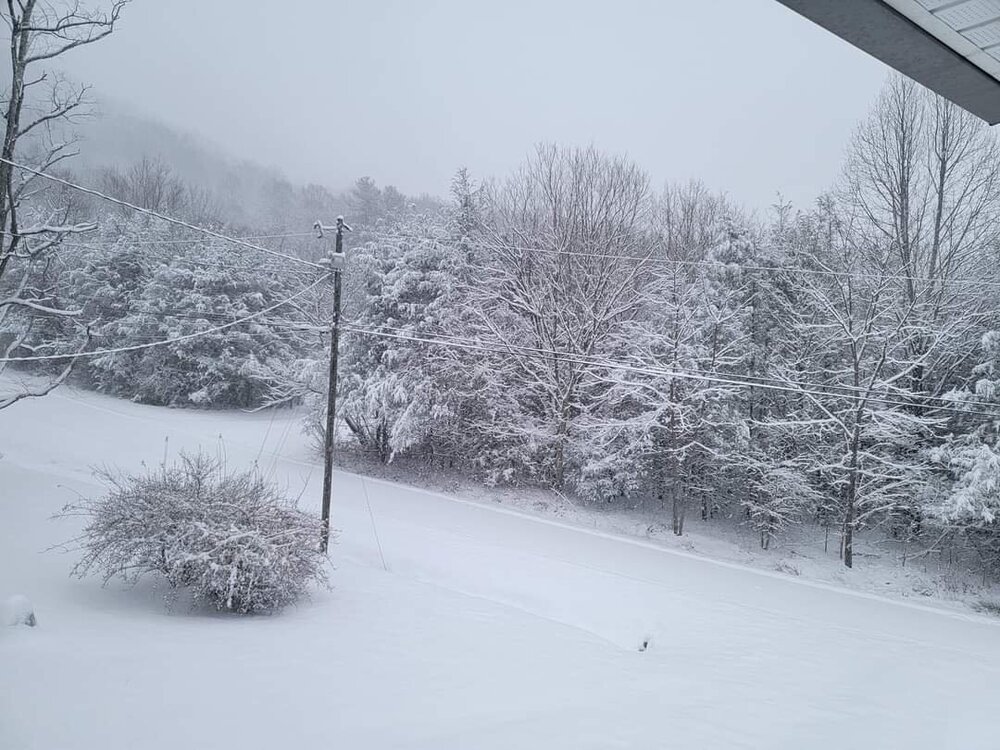
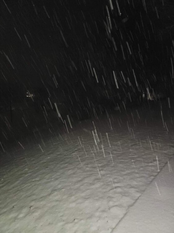
Hammering here as well. At 3 inches with the temp down to a cold 25 degrees. Snowing quarter sized flakes currently. -
2021-2022 Fall/Winter Mountains Thread
Met1985 replied to BlueRidgeFolklore's topic in Southeastern States
So it begins in Haywood. Light snow just started back up with a stiff wind. -
2021-2022 Fall/Winter Mountains Thread
Met1985 replied to BlueRidgeFolklore's topic in Southeastern States
Yep this is the main event. Good luck ol sport.