

Gravity Wave
-
Posts
1,151 -
Joined
-
Last visited
Content Type
Profiles
Blogs
Forums
American Weather
Media Demo
Store
Gallery
Posts posted by Gravity Wave
-
-
I think the deform band will set up along a MDT-ABE-NYC-ISP axis, much as the Euro shows. RGEM is too far south and west with the heaviest snows.
-
5 minutes ago, wdrag said:
This is the NWS Blend of Models---differs from the local NWS interoffice collaborated forecast (posted earlier in this thread around 627P) and basically a statistical use of the guidance output. This from the 18z cycle. This may be the way the NWS is going in the future. Right now it serves as a baseline for some of the NWS product grids, whereby forecasters modify this guidance per additional model input and forecaster collaboration.
Early next week I hope to have more info on the timing of the departure of the NAM/HRRR etc in lieu of the Unified Forecast System (UFS). Some suggestion not for two more years.

Love how the "blend of models" has a lower amount for NYC than any individual model.
-
RGEM holds serve with the CCB decaying over I-95. Hopefully the NAM was just a hiccup, the 850 low track seemed difficult to believe.
-
I'd be more concerned about the Ukie if it hadn't been the most inconsistent model for this storm.
-
 2
2
-
-
Just now, SnoSki14 said:
Gfs is quick to decay the CCB and I think the amounts it shows are too light after 72hrs.
Mesos will have a better handle on this.
GFS is usually too dry for big storms, I don't think this time will be the exception.
-
7 minutes ago, HVSnowLover said:
Another model that I wouldnt trust at this range but the rgem at hour 48 is noticeably south of the nam at 48
Perhaps but it's looking significantly better than its 18Z run so far.
-
-
Would love to see the UKMET rejoin the party in a few minutes.
-
I agree that the GFS and CMC have weird precip shields. Hopefully we continue the trend towards a clean phase.
Edit: Just saw the CMC phased and blew the CCB up for a long duration event.
-
Finally a storm that doesn't look like it's doomed from the start. Excited to see what kinds of solutions the models spit out over the next few days.
-
1
-
-
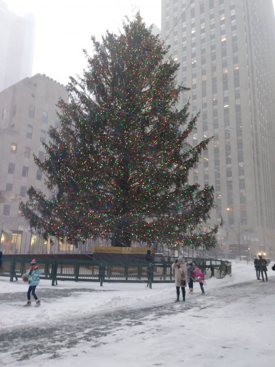
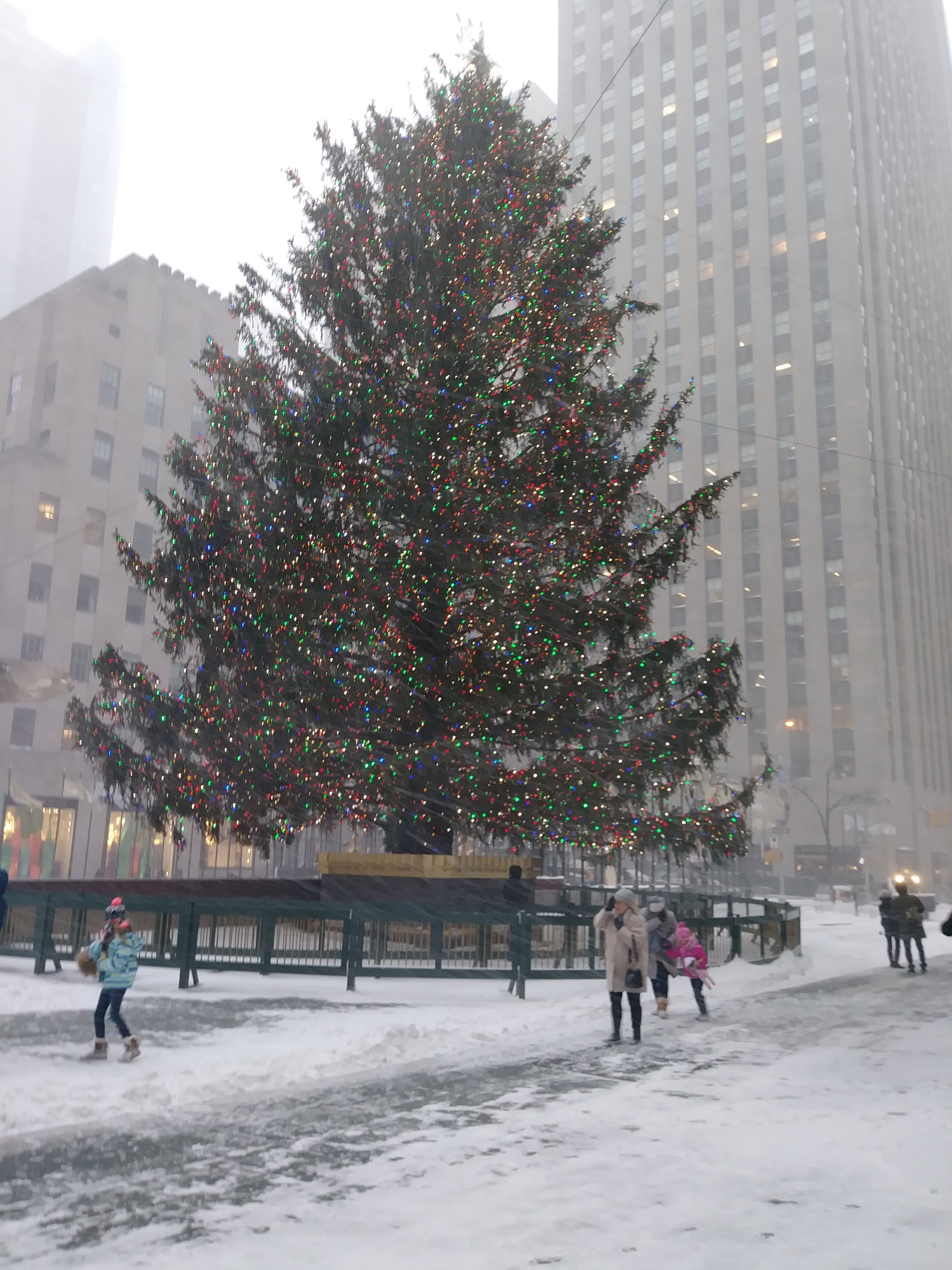
Three years ago today: the "bomb cyclone" drops 10" of snow in NYC with whiteout conditions in the late morning and early afternoon.
-
3
-
-
Virtually no wind here at my parents' house in Allentown. I'm hoping to see some good gusts before bed.
-
1
-
-
A few thoughts:
- The models overestimated the front end because of the rapid advance of the dry slot, but they mostly underestimated the back end so total in the metro area largely met forecasts.
-The NAM was correct about the major warm punch at the upper levels but got trounced by the HRRR at the boundary level.
- We were lucky to get anything with the system tracking the way it did, let alone 8-12 inches. The WAA event last December dropped a slushy inch in the city before switching quickly to sleet and rain due to the lack of an arctic high.
- The meso models didn't lock in on the I-88 corridor as the jackpot until under 24 hours before the onset of the storm, and before that they had been pretty consistent with a jackpot 50 miles south of there. Disappointing for many in the Hudson Valley, NNJ and NEPA.
-
2
-
-
Keep in mind the sleet line was supposed to stall out for a while once it reached Sandy Hook. It's already behind schedule along the Jersey shore.
-
1
-
-
Finally back home in the UES, moderate snow sticking to everything except main avenues. Looks like the good stuff will come in around 7.
-
Really looking like the NAM was too aggressive with the WAA push. We just need it to hold off until the dry slot moves in, then the winds will shift shortly afterwards.
-
2
-
-
Apparently it's still snow in Toms River, can't be bad news for us...
-
1
-
-
Really starting to come down now in Midtown.
-
Flakes are flying in Midtown, where I'm waiting alone in my office for my incompetent colleagues to send me revised documents to mail out "before the storm."

-
 5
5
-
-
Models are really starting to catch on to the enhanced banding for NYC and the coast Thursday morning; the precip minima that was over the city in yesterday afternoon's model runs has moved west to WNJ and far eastern PA.
-
That banding close to the surface low after the front end comes through (and the upper air temps associated with it) are going to determine what kind of storm this is for the area, because i don't think the decaying CCB on the back side is going to give us more than an inch or two.
If it's strong like on the GFS we're on track for over a foot, if not I'm thinking 8 inches is the target.
-
Euro is really nice for most, 12-18 for everyone except the Jersey coast.
-
The 3km NAM is going to give us some delicious runs starting tonight.
-
1 minute ago, jdj5211 said:
I agree that precip shield is odd...not sure what to think about this run as a whole
The NAM verbatim takes the main precip shield north of the city after the initial thump, but it's still adjusting south.


Major Nor'easter near blizzard (6"+ most of our area-best chance 20-30" north of I78 in ne PA, nw NJ, se NYS)-ice-rain-power outage NYC subforum late Sunday Jan 31-early Tue Feb 2.
in New York City Metro
Posted
That makes sense for LI but it seems like the city proper should be able to stay snow under the CCB with any change over occurring as precip lightens and the dry slot approaches.