

Gravity Wave
-
Posts
1,165 -
Joined
-
Last visited
Content Type
Profiles
Blogs
Forums
American Weather
Media Demo
Store
Gallery
Posts posted by Gravity Wave
-
-
1 hour ago, binbisso said:
While in the New York City metro region Central Park 85 laguardia 81 White Plains 81 Teterboro 86. I'll bet that every one of those sites has less than 10 90゚ days. That area in North central New Jersey near Newark and the surrounding counties have a climo like Washington DC. I'll bet even philly and Trenton have less
I highly doubt Newark is actually hotter than Philly, there's been some speculation that EWR is running too hot.
-
NYC is lucky Elsa ended up sliding a bit east like the CAMs suggested; otherwise it would still be pouring here. We got more than enough as it was.
-
 2
2
-
-
15 minutes ago, nycwinter said:
i think with today's rain included so far nyc central park had picked up about 4.6 inches of rain this month so far.. if we get a good amount from elsa maybe the all time record amount in central park for july is in jeopardy, that record is from 1889..
1889 was a very wet year for many in the region.
-
14 minutes ago, Nibor said:
There's been more lightning and thunder here than when the line initially came through.
Same in Manhattan. Pretty clear that the line was fluctuating considerably in intensity and passed through the central parts of NYC on a low ebb, hence the advance winds being more impressive than the main show.
-
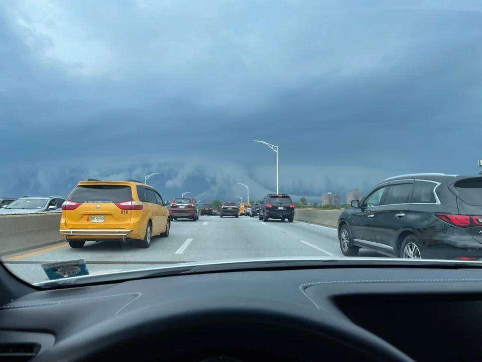
Line looking less impressive as it crosses 287. We'll see.
-
 1
1
-
-
2 minutes ago, MJO812 said:

Can we get a replay of this image in 6 months please?
But seriously, that looks like fun.
-
I'm a little confused as to how we could be close to a major outage when most office buildings are still significantly underpopulated; you'd think that AC use in these buildings would be limited. When I worked in the Rockefeller Center during the July 2019 heat wave they shut down the AC and suggested that everyone leave.
-
1
-
-
My parents have friends who live near Portland; they headed out to their cabin by the coast in the SW part of the state, it's in the mid-60s there right now.
")
Meanwhile it's 98 degrees in Astoria right now, which is absolutely incredible to anyone who's familiar with that area.
Edit: And this might be the most insane reading so far:
-
4
-
-
1 hour ago, lee59 said:
The Las Vegas- Henderson area of Nevada averages about 4-5 inches of rain for the entire year. A desert. Lake Mead which is nearby is way below where it should be and is the water supply to so many out there. Vegas has already had some 4 plus inches of rain this year. It would seem to me that lake Mead is probably so low not only because it is so dry but so many more people keep moving there and more water is being used every year.
Most of the southwest is utterly unfit for human habitation, let alone the massive sprawl that has sprung up around Phoenix, LV and LA in recent decades. These water crises are only going to get worse.
-
Looks more like 8:00 than 4:00 in Manhattan right now.
-
Very unpleasant day, fortunately there was a decent breeze when I stepped outside earlier. Some impressive outflow boundaries for the storms in PA.
-
Second straight summer of not having to descend into the subway inferno wearing business clothes, the one aspect of covid I'm going to miss.
-
 1
1
-
-
Impressive photo looking towards the City from the Belt Parkway:
-
12
-
-
5 minutes ago, Will - Rutgers said:
nobody else got hail? it hailed pretty decently in Piscataway, pea-sized and maybe a bit bigger.
Some pea-sized hail on the east side of Manhattan.
-
27 minutes ago, SRRTA22 said:
Our best events always seem to happen on marginal svr days

All the best severe events growing up in PA happened on slight risk days, Mod risks almost invariably disappointed. The only exception was the high risk on May 31, 1998.
-
2 hours ago, Brian5671 said:
yeah I would never pay good $$ to go away Memorial day in the northeast, still spring really (and subject to cloudy 60 degree weather or worse)
Memorial Day usually manages to have good weather, even in years with bad springs (like most recent years).
-
I'm fine with the cool weather but the lack of any thunderstorm activity is annoying given that May into early June is generally our best shot at severe weather around here. I'd gladly take a transient hot day if it came with an interesting severe outbreak.
-
1 hour ago, bluewave said:
Model forecasts indicating a very impressive cold frontal passage on Wednesday. Temperatures quickly rise into the low 70s ahead of the front. The forecast soundings indicate near record surface to 500 mb lapse rates. So severe convection looks possible. This is followed by a quick temperature drop to near freezing just N and W of NYC Thursday morning. Lapse rates remain steep to above 700mb so 50+ mph gusts will be possible behind the cold front.


Lapse rates are usually the missing ingredient for big severe outbreaks in this region, I remember the October 2018 PA tornado outbreak where they played a key role. If it hadn't been for the low instability (it was October after all) it would have been a memorable event.
-
No sleet on the UES, just a few pings of graupel 15 minutes ago.
-
Is the 700 mb low forming as quickly as it was expected to? The mesoanalysis site doesn't seem to show an organized low at that level yet.
-
Getting heavier, that band over Queens should be here soon.
-
1
-
-
HRRR has been flipping and flopping and its thermals are trash. I've honestly never been impressed with it, it'll sniff out a nut every once in a while but its performance is generally underwhelming.
-
Moderate snow on UES Manhattan, hoping those bands to the south drift north soon.
-
1 minute ago, PeteThe Greek said:
Yes, seen several waves pushing through headed north on those panels. As much as we strive to get these snow totals, its actually refreshing to know we can never even try to predict where these CCB bands will setup. I love the randomness of it all. Leaves something to the imagination instead of constantly insisting to have an answer for everything. I would say prime rapid accumulation hours on monday would be from 11am to 6pm. Would that sound correct to you?
Yes, although I might push the start of that range up to 8:00 given the HRRR depiction. You'll at least want to be checking the radar by then so you can see when the heavy banding will be arriving.
-
1
-


SVR FF potential 2PM-midnight Thursday July 29: especially southern part of the NYC subforum along and s of I80 PA-NJ & LI
in New York City Metro
Posted
Sun breaking through here.