

Amped
-
Posts
14,572 -
Joined
-
Last visited
Content Type
Profiles
Blogs
Forums
American Weather
Media Demo
Store
Gallery
Everything posted by Amped
-
Surface low is way north.
-
Also, the gfs has a lot more precip and higher pwat values ahead of the storm over the Carolinas, Va, and Ohio Valley. That helps lower surface pressures further northwest and favors a northwest track.
-
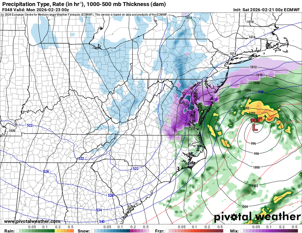
After looking at the Euro further I believe it's coastal low is misplaced. This is not how a typical occluded low looks. There should be a double barrel low with one surface low at the east end of the coma head at the triple point and another one at the west end with a curved band connecting the two. The Euro has one funny looking low in the middle with a little hat of precip to the north. The Gfs and Icon have a much easier to understand solution, the surface low forms right where the 500mb energy hits the coast.
-
I call bs on this euro run. No way the 500mb maps justify a 70 mile shift southeast.
-
Already digging the 250mb jet more into Arizona.
-
Can we pickup DC and move it to SNJ?
-
Icon looks more amped too.
-
In our region. Gfs didn't have as much snow for Northern Pa, NYC, and New England as the NAM does now.
-
The low is probably hooking over SE Mass this run.
-
Breaking out more precip in Ohio this run and more ridging ahead.
-
The Nam is just digging the northern stream smoothly this run. Its not doing a wonky meander. What fun is that?
-
Now that is how I remember hecs modeling inside 72hrs in the 2000s and early 2010s.
-
The 250mb jet has been more amped up and further west each of the past 4 runs. https://i.imgur.com/xlxrxyI.gif
-
It hit the 40/70 benchmark this run, so its a perfect track.
-
The 300mb jet coming into California is a lot more amped at 36hrs. Dont know what impact that will have
-
Its ass hair differences so far.
-
The Euro used the opposite logic to trend west at 18z. My theory is that it stayed further north and couldn't collapse the southern stream troff like 18z did. The it reoriented more quickly avoiding squashing the wave again.
-
It phases slower, but the surface low tracks much further west. Make sense? Of course not, its the NAM.
-
I am fully prepared for this to come a lot closer than we all thought but still no cigar.
-
18z Euro 500mb evolution is very similar to the ICON and CMC. There are differences in the precip amounts surface low tracks and intensities, but 500mb looks pretty close.
-
Same heights out ahead, and its not digging further south or negative tilting earlier.
-
It did come east a little. Its halfway between 12z and 6z.
-
Looks Identical. 1009mb over Charlston.
-
It's 'Party's Over' time
-
18z is gonna be a 50% cave at least. Its already late in the game for it to be doing this.


