Snowstorms
-
Posts
4,126 -
Joined
Content Type
Profiles
Blogs
Forums
American Weather
Media Demo
Store
Gallery
Everything posted by Snowstorms
-
07-08 was a good redemption winter after 06-07. Hoping it's colder than 2007-08 though. There are some impressive cold Nina winters following Nino's. Hoping for a similar outcome this year. Although compared to 06-07, we ended last season with 57".
-
Was hot garbage up this way too. Only 32". Only thing impressive about that winter was the Feb cold snap.
-
There's a good chance this year could be one of the weakest flu seasons on record, in part thanks to Covid. I think another lockdown is quite possible but not to the extent we experienced earlier this year. I think many countries including USA are better managing the situation now compared to Mar/Apr. If anything they might close down certain restaurants, bars and other more crowded indoor spaces to limit the spread. At this point until we have a worldwide vaccine, no lockdown or restrictive measures will curb the spread. Where is the hot spot right now in the USA?
-
1970-71 was another great winter up this way. 71.0" which is 25" above our seasonal average. DJFM all featured below normal temps. 1970-71 La Nina came after two consecutive Nino's (1968-70), similar to this year.
-
95-96..started great (Nov/Dec). Jan/Feb were just cold and dry and frankly boring. Mar was great and April too. Overall, we finished above avg (59.2") and 2.4 degrees below avg. 05-06..started great (Nov/Dec). Rest of the winter was trash. Mild and snowless. If I'm not mistaken, it's top 10 or top 15 least snowiest winter on record at YYZ. Finished the season with 34". 07-08.. best winter ever. Every month was epic. Finished the season with 92". Another station in the city finished with 99". Double our seasonal avg.
-
700 new cases today in Ontario setting a new single-day high record. 60% of them were in Toronto. After spending most of the summer with <100 cases per day, we've been rising exponentially since late August. Ironically, the province reopened Casino's today. Casinos in Ontario are run by the Ontario Lottery and Gaming Corporation which is a crown corporation owned by the Government. Schools have also resumed, and we've had dozens of cases linked to various schools. I feel as though a second lockdown is coming and could be far worse than anything we experienced back in Spring.
-
Starting to see some more foliage here now.
-
Going through this thread, I did not know how hard it is for most of the Mid Atl. to get some decent snow. Granted I would love to experience a blizzard like Jan 2016, Dec 2010 or Feb 2010. We don't get storms like that up this way. It's crazy how many variables need to come together for you guys to get even half decent snow. Up here we prefer La Nina's > El Nino's but that doesn't mean El Nino's are bad either. For example, our snowiest Nov is an El Nino (1940), our snowiest Dec is an El Nino (1951) and our 2nd snowiest Jan is also an El Nino (1966). Our top 2 coldest winters ever (DJF) are also El Nino's (1976-77 and 1969-70). However, our top 3 snowiest winters on record are La Nina's (1937-38, 1949-50 and 2007-08). Records go back to 1937 at the airport. But believe it or not our least snowiest winter on record is a La Nina (2011-12). 2009-10, the golden winter for Mid Atl., ended up as the 2nd least snowiest winter on record here. Two different ENSOs but with the same outcome. We can do pretty good here sometimes regardless of ENSO state. Even 1995-96 we nickeled and dimed our way up to 59" (14" above avg).
-

Upstate/Eastern New York
Snowstorms replied to BuffaloWeather's topic in Upstate New York/Pennsylvania
Persistent cloud cover. With that -NAO block building up near Newfoundland were likely going to see some lake effect rain showers and constant clipper activity for the next week or so. The GFS stalls the low in Hudson Bay for a few days too. It'll be cool and wet regardless. Our best chance for widespread frost will likely be next weekend. -
Perhaps because Chicago is a bigger city and it would experience more UHI than DTW? It was the same out here. Many of the areas outside the city got down below freezing last week whereas YYZ only bottomed out at 37.5F. UHI and the warmer lakes this year are playing a role in stabilizing nighttime temperatures in city areas.
-
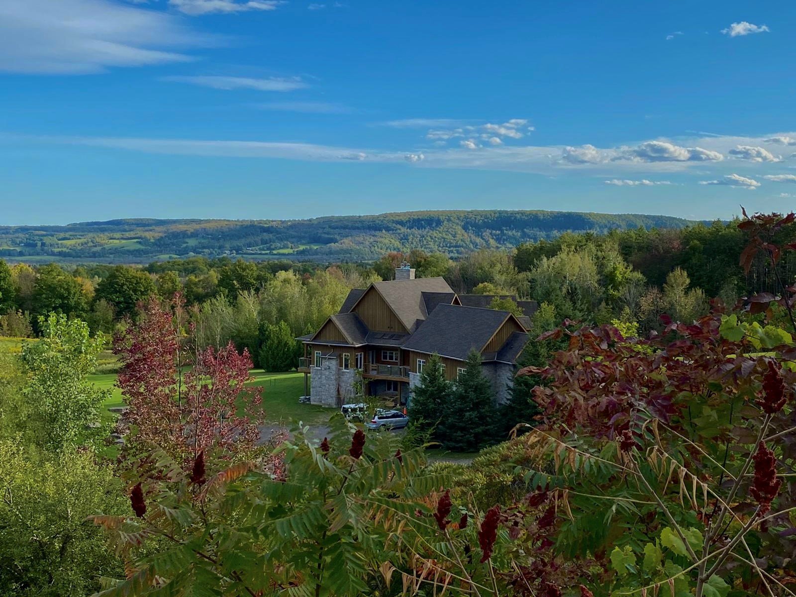
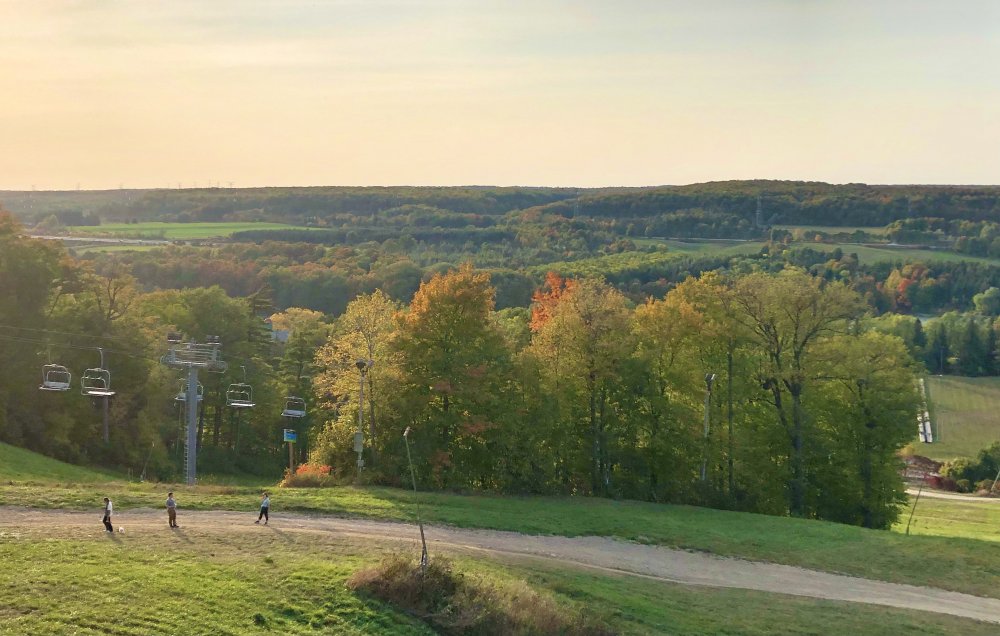
Went north of the city this past weekend to see if there's any major foliage going on. Not sure if you can tell from the pic or not but there's some starting up. Note: Thats not my house.

-
We are running exactly avg here at YYZ which is 61.1F as of yesterday. But these next few days will put us at a slight + departure like ORD. Warm overnight lows seem to be killing us or else we'd be running below normal. Not sure what the avg overnight low for DTW is but our average on this date is 46.4F.
-
Having a really hard time cooling down esp in the city due to extensive cloud cover. That UHI really kicking in. YYZ been stuck at 52F for three hours now whereas most suburbs despite cloud cover are down into the low 40s. Primary reason why this month's avg temp is running above normal still.
-
Frost advisories up all over the province for tonight. Forecast low of 37F at the airport but many of the burbs, including my area, could get down to 33-35F. Looking back through history, it would seem this cold is far from unusual. In fact, sub-freezing lows in September were common pre 1985 at the airport. There have been no sub-freezing lows at YYZ since 1993. Don't know if it's because of UHI or climate change or a combination of both.
-
Upstate/Eastern New York
Snowstorms replied to BuffaloWeather's topic in Upstate New York/Pennsylvania
There was one on Lake Huron back in 1996. Nothing since then or before. -
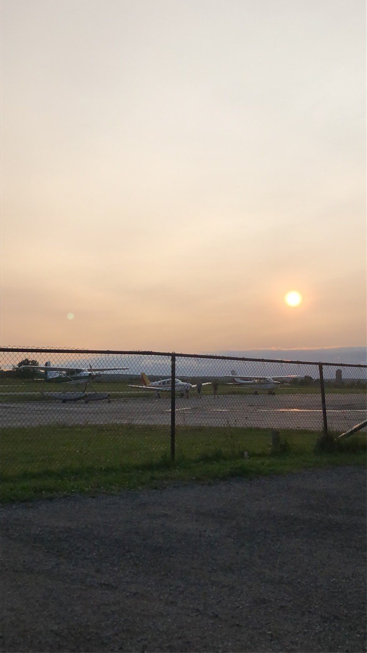
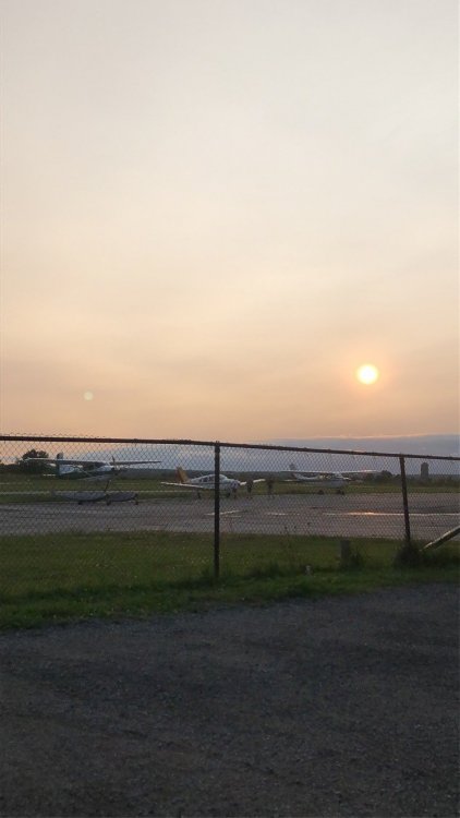
This was back on Sunday as I was with a friend at a private airport just outside the city. Little better today but yesterday and Monday were just bad.
-
GEFS hinting at a warmup near the end of the month. We'll see if that comes to fruition. Could be the last bit of widespread summer warmth.
-
May 2020 was the snowiest on record here, but November wasn't even top 10. We lucked out. Except for Mar/Apr, we were average to above average every month snow wise. Jan-Feb 2019 was awesome. We got 42" in those 2 months. If I had to choose between the last two winters and 2004-05, I'd pick 2004-05. Had that nice storm right before Christmas and a few good storms in Jan and Feb 05. El Nino's up this way compared to Detroit are usually half and half, some good and some bad. For example 2006-07, 2009-10 and 2015-16 were sub 30" winters. But 2004-05 was an El Nino winter coming off a warm neutral and preceding Nino before that. So different oceanic states compared to this year.
-
Third official low in the 40's at YYZ. For most of the burbs it’s our 5th. YYZ got down to 41F last night. It'll likely get down to the mid 30's later this week. The source of this weekend’s cold is straight from the Arctic. I'm sure your excited about the onset of Fall knowing Winter isn't too far away.
-
Upstate/Eastern New York
Snowstorms replied to BuffaloWeather's topic in Upstate New York/Pennsylvania
Makes sense. Most of Buffalo's lake effect snow comes from streamers off Lake Erie. Different story further north towards Rochester and Syracuse. La Nina Octobers are typically warmer than normal, so we'll see if that holds serve for this year. -
Upstate/Eastern New York
Snowstorms replied to BuffaloWeather's topic in Upstate New York/Pennsylvania
Could mean a big LES season for you guys if Nov/Dec end up below normal. Was by Lake Ontario a week ago and the water was quite warm still. -
2004-05 had several cold snaps too. Most of Jan 2005 was pretty cold. Last winter was devoid of any cold. We also got 65" locally.
-
Wouldn't the warm pool in the Pacific encourage more ridging towards the Aleutians and even further east towards the EPO domain? A -PDO combined with a Nina would allow for more ridging across the Aleutians and Alaska, no? 2008-09 had an impressive North Pacific ridge that was poleward. Dec 08-Jan 09 wasn't crazy cold in the east, but it was persistent nonetheless. Locally we only had 2 days above freezing in Jan 09.
-
Still sitting in drought conditions out here. Only an inch of rain so far this month. Our heaviest rain was over a month ago.
-
Although 2000-01 was front loaded, we got two decent storms in FM. Feb 2001 we got ~10" of snow and ice pellets followed by an inch of rain. And in March 2001 we got another 10" storm. No real arctic air after December either. To be honest, aside from Jan 1999, Jan 2000 cold outbreak and Dec 2000, we saw 5 crappy winters in a row (1997-2002). Nothing special happened in those 6 years expect for those select few months lol. Now to be fair I was a little kid at the time but still.