cyclone77
-
Posts
18,662 -
Joined
-
Last visited
Content Type
Profiles
Blogs
Forums
American Weather
Media Demo
Store
Gallery
Everything posted by cyclone77
-
Up to 4.01" now since Wednesday.
-
Massive 3-day soaker ongoing. Up to 1.42" for today bringing the 48hr total up to 3.65". More rain to come tonight, so 4"+ looking likely.
-
2.23" here last night and early this morning. Best soaker of the year. Another 1-2" tomorrow looks like.
-
1.31" here so far. Looks like 2"+ in the bag for this first wave. Another inch possible Friday.
-
Nice stormy evening, with several hours of thunder and passing downpours. Almost an inch so far, with several more rounds to go through the night.
-

2023 Short/Medium Range Severe Weather Discussion
cyclone77 replied to Chicago Storm's topic in Lakes/Ohio Valley
Looks like your area is getting trained with some hailers. -
Yeah those are great too to be sure.
-
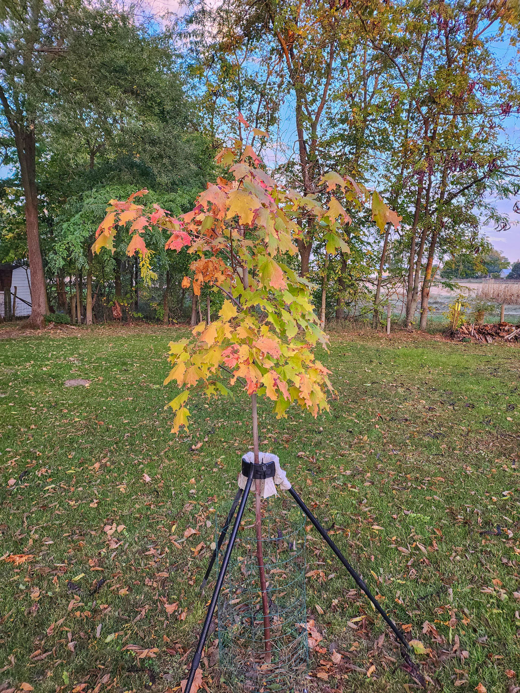
29 degrees again this morning here for the 2nd freeze in a row. Sugar maple is starting to turn pretty quickly now with these chilly mornings.

-
Pretty sure that's gonna make a beeline for Saukville
-
First freeze in the books as we made it down to 29 so far. Even colder than expected.
-
Freeze looking pretty likely as the temp is already down to 36.
-
Quadruple pane. Got down to 35 here this morning for the coldest temp of the season so far. Have a shot at freezing briefly tonight.
-
More patchy frost tonight, and perhaps a first freeze on the way for tomorrow night. Most of the fields have been harvested around here now, and most lawns are coated by a scattering of colorful leaves. Looking very Octoberish this weekend.
-
Just like winter being in the bullseye 4+ days out is usually the kiss of death. Some scattered frost here this morning as temps made it down to 38.
-
Temps were in the mid 40s at midday with a cold driving rain. Summer is definitely over. Picked up 0.12"
-
42 here this morning.
-
Might not get out of the 50s Fri and Sat, with frost next week.
-
wintery arctic drifts?
-
Looks like some patchy frost next week. Other than that looks pretty uneventful for the foreseeable future.
-
....incoming response from palm dude
-
Last night's run even drier. Looks like no rain for at least the first half of October.
-
Today was the 37th AOA 90 degree day at MLI for the year. Another shot at 90+ on Tue, but then that should do it for 2023.
-
Pretty warm for the last day of September. Both MLI and DVN at 90 degrees so far.
-
Lots of area fields are being harvested now. Tomorrow looks like temps will make the upper 80s.
-
Yeah the GFS is pretty much useless.